The best cycling routes around Sainte-Émélie-de-l'Énergie
4.3
(6)
62
riders
4
rides
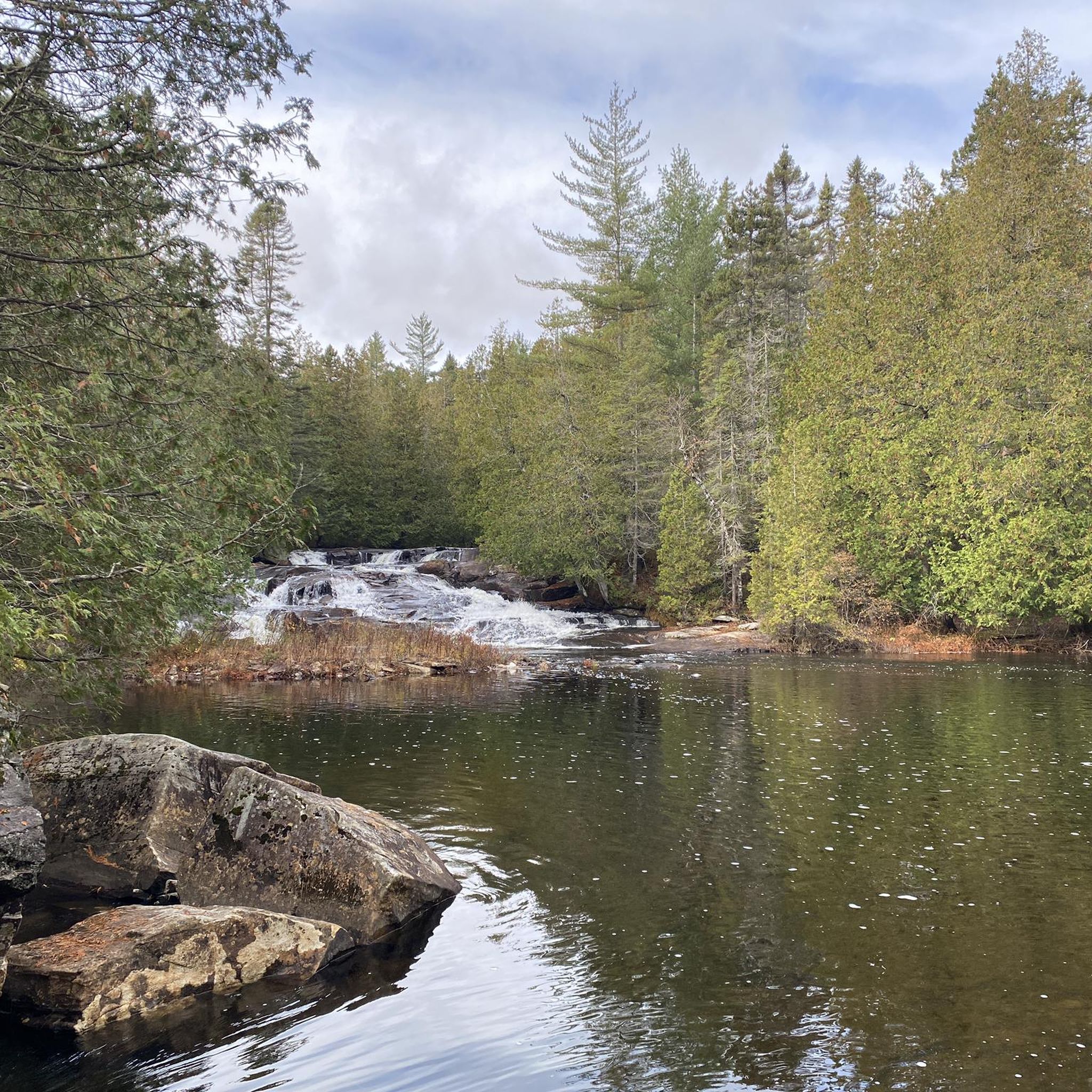
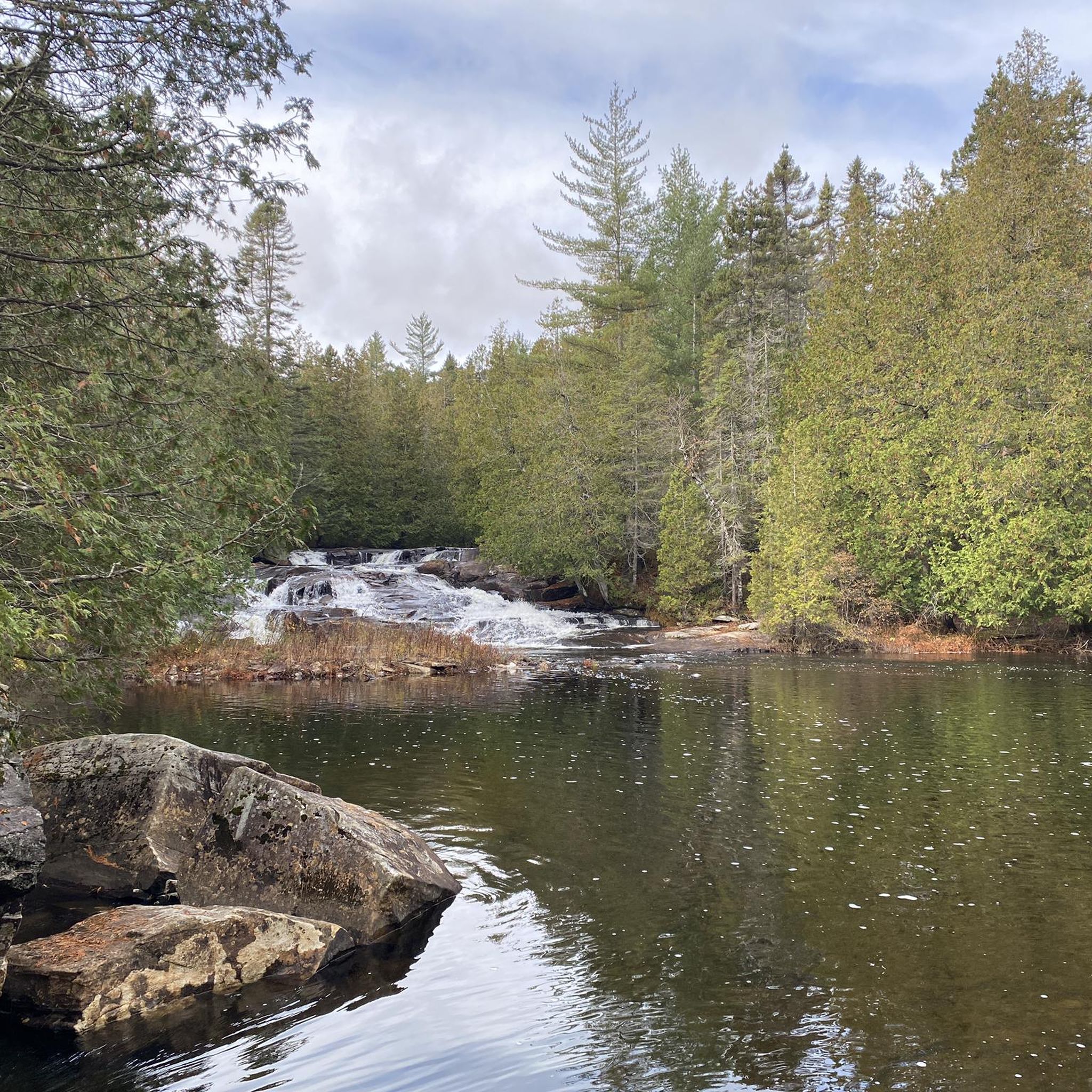
Touring cycling routes around Sainte-Émélie-de-l'Énergie are situated in the Lanaudière region of Quebec, at the foothills of the Laurentian Mountains. The area features a diverse landscape, transitioning between the Lower and Upper Laurentians, characterized by wooded mountains, rolling hills, and vast fields. Routes often follow the natural curves of the relief, offering significant climbs and views of the Noire River valley and various lakes. The region's mixed forests provide a scenic backdrop for cycling.
Best touring cycling routes around Sainte-Émélie-de-l'Énergie
…Last updated: June 29, 2026
2.5
(2)
17
riders
59.5km
03:45
600m
600m
Hard bike ride. Very good fitness required. Mostly paved surfaces. Suitable for all skill levels.
5.0
(1)
10
riders
57.7km
03:51
770m
770m
Hard bike ride. Very good fitness required. Mostly paved surfaces. Suitable for all skill levels.

Sign up for free
5.0
(1)
9
riders
86.1km
05:35
1,000m
1,000m
Hard bike ride. Very good fitness required. Mostly paved surfaces. Suitable for all skill levels.
8
riders
47.9km
03:10
640m
640m
Hard bike ride. Very good fitness required. Mostly paved surfaces. Suitable for all skill levels.
3
riders
19.3km
01:12
180m
180m
Moderate bike ride. Good fitness required. Mostly paved surfaces. Suitable for all skill levels.
Our route recommendations are based on thousands of hikes, rides, and runs completed by other people on komoot.
Start today with a free account
Your next adventure awaits.
Login or Signup
Popular around Sainte-Émélie-de-l'Énergie

Tips from the Community

I did this circuit with my electric bike on a country row, not many cars and a nice place for photos
0
0
Frequently Asked Questions
What kind of terrain can I expect on touring cycling routes around Sainte-Émélie-de-l'Énergie?
The region offers a diverse landscape, transitioning between the Lower and Upper Laurentians. You'll encounter wooded mountains, rolling hills, and vast fields. Routes often follow the natural curves of the relief, providing significant climbs and scenic views of the Noire River valley and various lakes. The area is part of the Canadian Shield's piedmont, featuring mixed forests with species like sugar maple and yellow birch.
Are there challenging routes for experienced touring cyclists?
Yes, Sainte-Émélie-de-l'Énergie is known for its challenging routes. The area boasts over 100 kilometers of cycling routes that cater to intermediate and difficult skill levels, featuring significant climbs. For example, the Bike loop from Saint-Alphonse-Rodriguez is a difficult 86.1 km path with substantial elevation gain.
Are there any easier or moderate touring cycling routes available?
While many routes are challenging, there are options for moderate skill levels. The Lac de la Fromentière – Lac aux Bouleaux loop from Saint-Alphonse-Rodriguez is a moderate 19.3 km route, offering a less strenuous option for touring cyclists.
Where can I find parking and picnic areas before starting a ride?
Free parking and picnic areas are conveniently available at the town hall in Sainte-Émélie-de-l'Énergie. This location also displays maps of the local cycling circuits, making it a practical starting point for your rides.
What are some notable viewpoints or natural features along the cycling routes?
Cyclists can enjoy rewarding viewpoints overlooking the L'Assomption River and Lac Cloutier. The region also features the serene Lac Kaël, with trails encircling it, and the Noire River valley, marking the transition between the Lower and Upper Laurentians, offering stunning scenery of wooded mountains, rolling hills, and cliffs.
What do other touring cyclists say about the routes in Sainte-Émélie-de-l'Énergie?
The routes in Sainte-Émélie-de-l'Énergie are highly rated by the komoot community, with an average score of 4.25 stars from several reviews. Over 60 touring cyclists have used komoot to explore the varied terrain, often praising the challenging climbs and picturesque landscapes.
Are there any loop cycling routes in the area?
Yes, many of the touring cycling routes are loops. For instance, the Lac Cyrille – Lac Gratten loop from Saint-Alphonse-Rodriguez is a popular 59.5 km difficult route, and the Le Pain de Sucre loop from Sainte-Béatrix covers 47.9 km through rolling hills.
What other outdoor activities are available in Sainte-Émélie-de-l'Énergie besides cycling?
Beyond cycling, Sainte-Émélie-de-l'Énergie offers a wide array of outdoor pursuits. You can explore Parc nature Émélinois for hiking and camping, visit the Public Beach for swimming and water sports, or try climbing at one of the three outdoor sites. Numerous trails, including the Sentiers de la Slye and those around Lac Kaël, are also available for hiking and snowshoeing in winter.
How long do the touring cycling routes typically take to complete?
The duration varies depending on the route's length and difficulty. For example, the Lac Cyrille – Lac Gratten loop from Saint-Alphonse-Rodriguez, a 59.5 km difficult trail, typically takes about 3 hours and 45 minutes. Longer routes like the Lac à Foin – Lac Saint-Charles loop from Parc régional de la Chute-à-Bull, at 54.7 km, can take around 4 hours and 57 minutes due to significant elevation.
Is Sainte-Émélie-de-l'Énergie easily accessible for cyclists?
Yes, Sainte-Émélie-de-l'Énergie is easily accessible via Routes 131 and 347, making it a convenient destination for those seeking active outdoor adventures amidst beautiful natural surroundings in the Lanaudière region of Quebec.
Most popular routes around Sainte-Émélie-de-l'Énergie

Get inspired with the komoot mobile app


Explore more
Browse the best Cycling routes in other regions.
