The best running trails around Herradón De Pinares
49
runners
6
runs
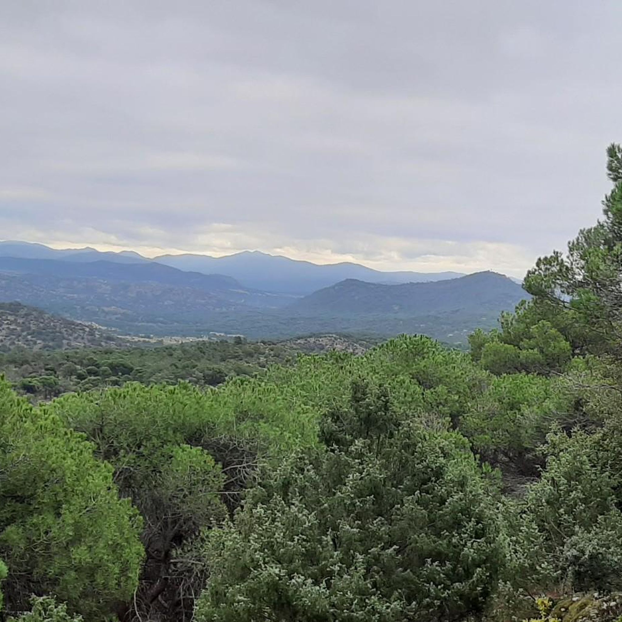
Jogging around Herradón De Pinares offers a natural environment characterized by abundant pine forests, including the Pinar de la Pedriza and Pinar de la Cañada, which provide shaded paths. The region features the Valle del Gaznata, carved by the Gaznata River, offering scenic routes and views of the Sierra de Gredos. With significant altitudinal variations and diverse flora, the area supports a variety of running experiences.
Best jogging routes around Herradón De Pinares
- The most popular jogging route is El…
Last updated: August 16, 2026
14
runners
4.44km
00:30
20m
20m
Easy run. Great for any fitness level. Mostly paved surfaces. Suitable for all skill levels.
12
runners
22.5km
02:52
600m
600m
Hard run. Very good fitness required. Mostly paved surfaces. Suitable for all skill levels.

Sign up for free
12
runners
10.9km
01:15
90m
90m
Moderate run. Good fitness required. Mostly paved surfaces. Suitable for all skill levels.
4
runners
Moderate run. Good fitness required. Mostly paved surfaces. Suitable for all skill levels.
3
runners
5.81km
00:40
80m
80m
Moderate run. Good fitness required. Mostly paved surfaces. Suitable for all skill levels.
Our route recommendations are based on thousands of hikes, rides, and runs completed by other people on komoot.
Start today with a free account
Your next adventure awaits.
Login or Signup
Tips from the Community

The park extends between the bridge over the Chico River, the extension of Nuestra Señora de Sonsoles Street, and the Burgohondo road bridge, bordering Juan Pablo II Avenue. One of the most popular routes is the circular route from the Roman Bridge over the Adaja River, ideal for easy walks and enjoying the park's natural surroundings.
1
0
The Church of San Miguel Arcángel in Tornadizos de Ávila is a church of great historical and cultural significance. Built of ashlar and masonry, it is liturgical in nature. The Brotherhood of the Holy True Cross, an institution of great importance in local religious life, was founded in this parish more than four centuries ago.
1
0

In the southwest area of the city.
0
1

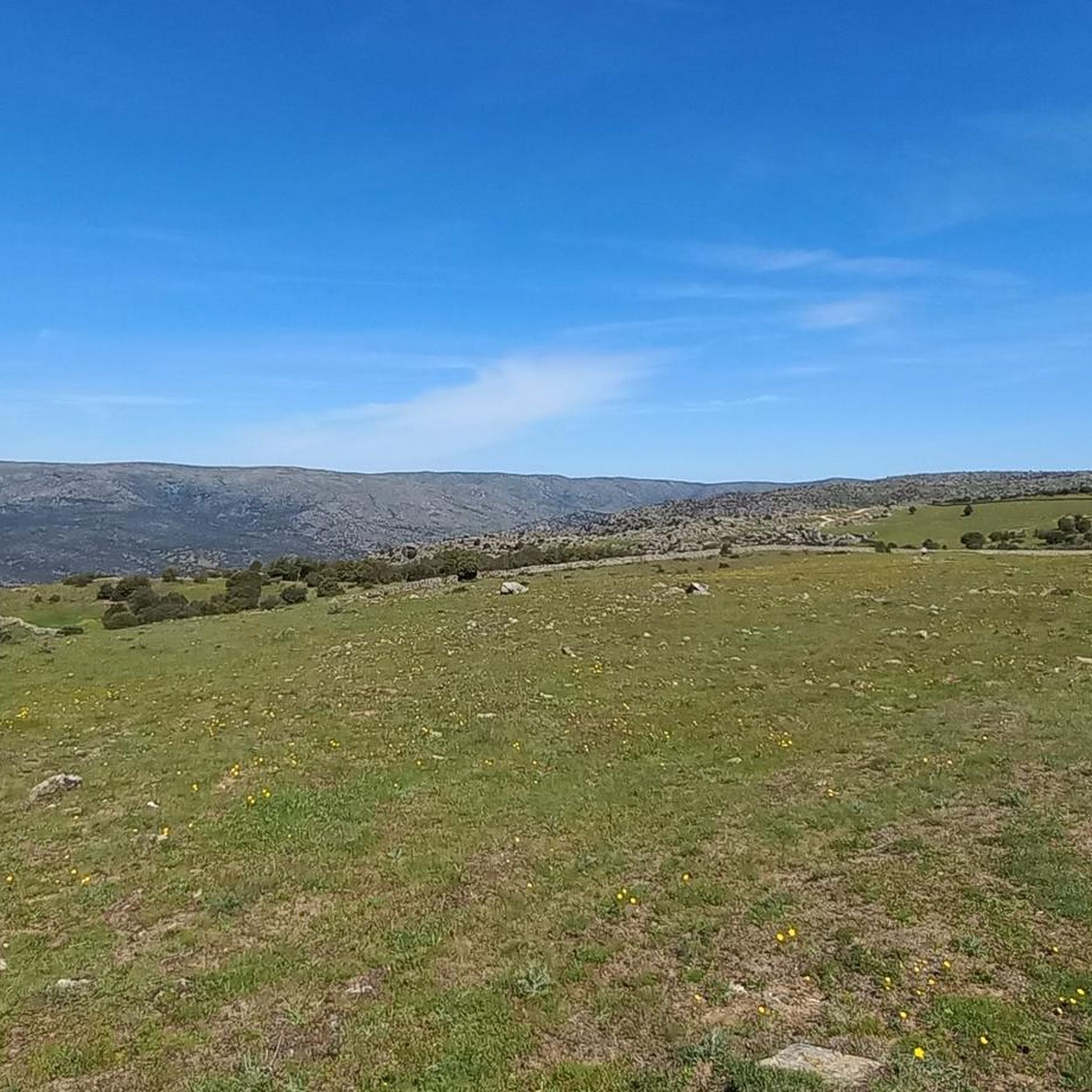
Stage 2. Ávila/Madrid 140 km. 2,500 m positive. On the way back to Madrid we followed the route of the Camino de Santiago de Levante to the Alberche River with some variations to maintain cyclability and an acceptable average. The yellow arrows on the Jacobean route point towards Santiago de Compostela and at some intersections it is not easy to see them in the opposite direction. The track is essential to follow these “author” routes. The route leaves Ávila along the plain of the Chico River to Tornadizos de Ávila and continues along the cattle trails from the sources of the Tornadizos River to some spectacular pastoral meadows in the hills of El Cabezuelo. The final stretch of the climb follows a path that has good cyclability with good grinding technique and expertise on mountain trails. The path passes a gate with yellow arrows and goes down to the port of Boquerón, between the Cuerda de los Polvisos and the Malagón mountain range, one of the entrances to the great Herradón de Pinares grave. The descent along the Camino de Santiago is an uncomfortable and complicated trial with the bags due to the pavement and the vegetation and to maintain the pace we go down the road gliding over a deceptive landscape, we pass through El Herradón and continue to San Bartolomé de Pinares. The climb through the cobblestone streets of the town is tough and the exit through the forks of the Camino de Levante ends with an infernal wall, until the slope ends on a hill adorned with a milestone of the Jacobean route that has indications of the distances to different places. in the world, from Ávila and Madrid to Beijing or New Zealand.
0
0

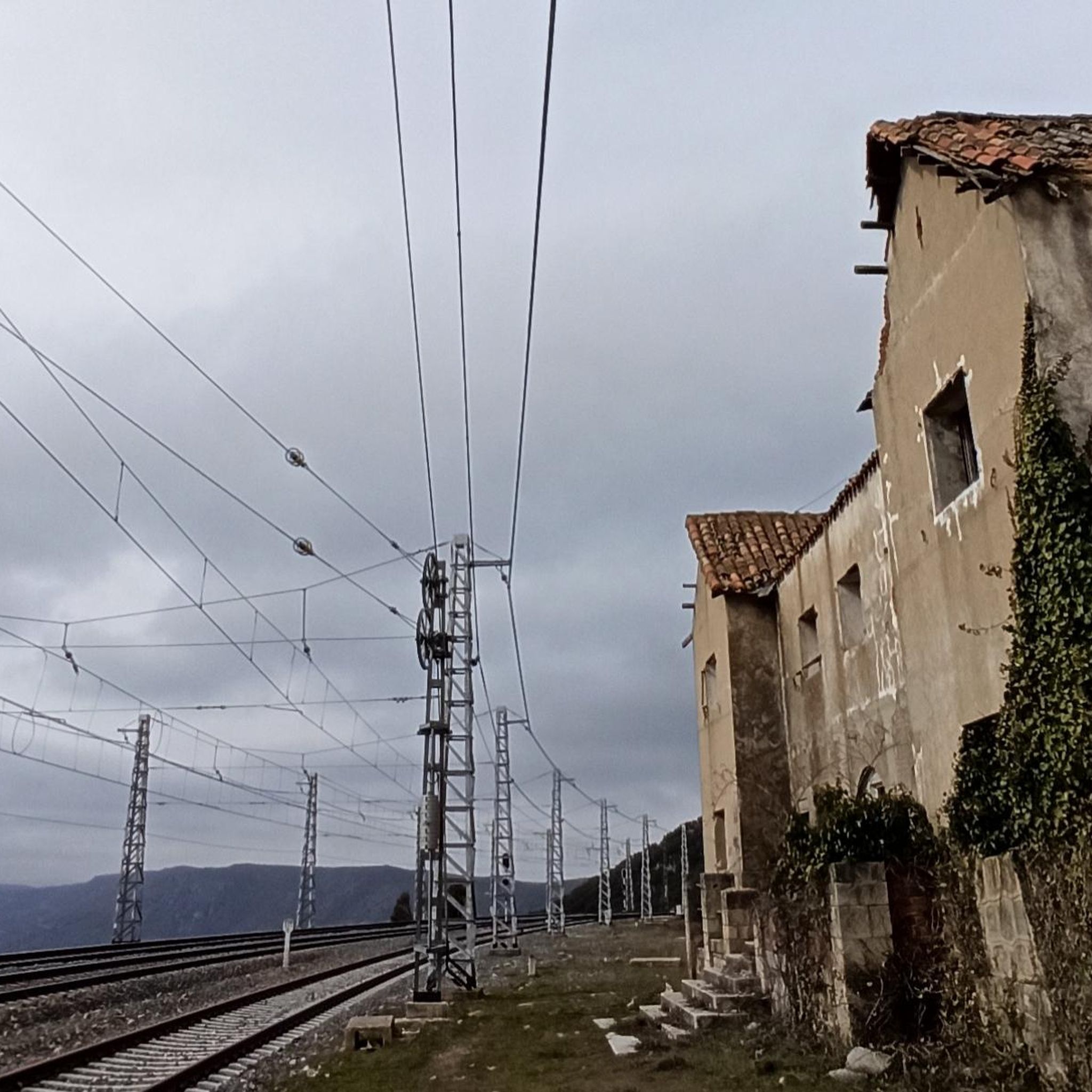
Tornadizos de Ávila is a small town on the eastern outskirts of Ávila. The town is located on the pilgrimage route from Madrid and Santiago de Compostela, carried out by many every day for centuries.
1
0
Dusty path along the dry bed of the Tornadizos stream on the pilgrim from Madrid to Santiago de Compostela, when approaching Tornadizos de Ávila.
1
0
The green lung of the city, the Chico River, a tributary of the Adaja River, provides an incredible activity space for walking, running and cycling. Enjoy the natural outdoor space away from cars and traffic.
1
0

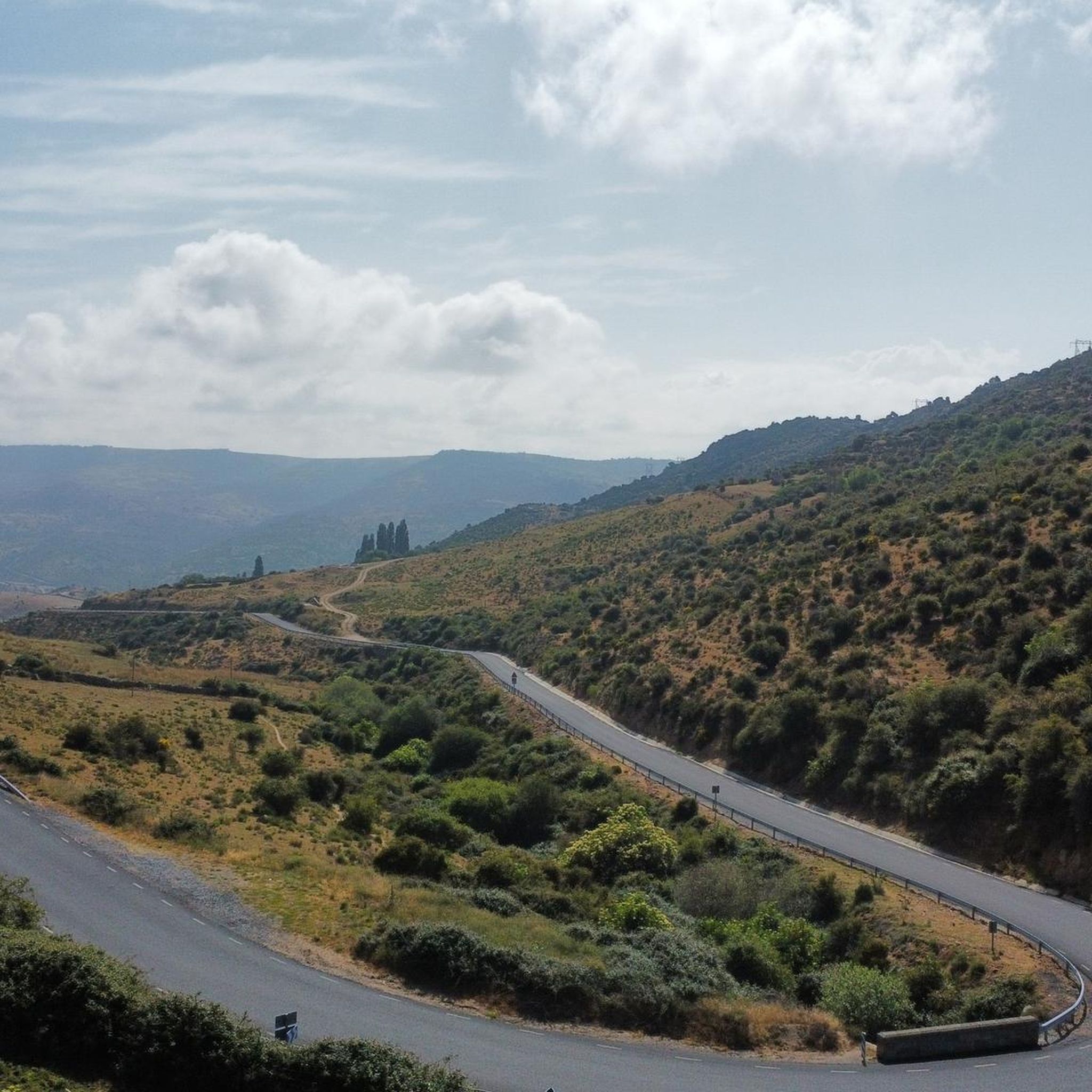
On our tour from Lisbon via Porto to Madrid in 2023, one of the things I particularly remember is this wonderful drive through the unique landscape. Incredibly beautiful for several kilometers! View of the mountains, herds of cattle, colorful flowers along the way. 1A.👌👌
1
0
Frequently Asked Questions
What kind of terrain can I expect on the running routes in Herradón De Pinares?
Herradón De Pinares offers a diverse running experience. You'll find paths winding through dense pine forests, such as the Pinar de la Pedriza and Pinar de la Cañada, which provide shaded and natural surfaces. Many routes also traverse the scenic Valle del Gaznata, offering varied terrain along the river and open fields. The region's significant altitudinal variations mean you can expect both gentle slopes and more challenging climbs, often with stunning views of the Sierra de Gredos.
Are there any easy or beginner-friendly jogging routes in the area?
While many routes offer moderate challenges, there are options suitable for beginners or those looking for a gentler run. For example, the Bar Felipe loop from Navalperal de Pinares is a moderate 3.6-mile (5.8 km) route with a relatively low elevation gain, making it a good choice for a relaxed jog. The pine forests often provide smoother paths ideal for a comfortable pace.
Can I bring my dog on the running trails in Herradón De Pinares?
Yes, many natural areas in Herradón De Pinares are dog-friendly. The region's pine forests and open trails are generally suitable for running with your canine companion. However, it's always recommended to keep your dog on a leash, especially in areas with wildlife or near agricultural land, and to follow local regulations regarding pet waste. Always ensure your dog is well-behaved and doesn't disturb other users or local fauna.
What are the best times of year to go jogging in Herradón De Pinares?
The spring and autumn months are generally ideal for jogging in Herradón De Pinares. During these seasons, the weather is typically mild, and the natural landscapes are at their most vibrant. Summer can be warm, so early morning or late afternoon runs are advisable to avoid the midday heat. Winter offers crisp air and unique scenery, though some higher elevation paths might be colder or occasionally have light snow.
Are there any circular running routes available?
Yes, Herradón De Pinares features several excellent circular running routes. A popular option is the Puerto de El Mediano loop from Herradón-La Cañada, which is a moderate 5.7-mile (9.1 km) trail leading through pine forests. Another great choice is the St. Michael the Archangel Church – Singletrack Between Fields loop from Tornadizos de Ávila, an 8.2-mile (13.2 km) moderate path that winds through open fields.
What kind of scenic views or points of interest can I expect along the running routes?
Herradón De Pinares offers breathtaking scenery. Many routes provide panoramic views of the majestic Sierra de Gredos. You'll also run through dense pine forests, along the picturesque Gaznata River, and past charming rural landscapes. Notable viewpoints include Mirador del Canchal, offering expansive vistas. The region is also a crucial migratory passage for birds, so you might spot diverse avian species during your run.
Are there any family-friendly running options in Herradón De Pinares?
For families looking to enjoy a run together, routes with gentler profiles and well-maintained paths are recommended. The pine forests, like the Pinar de la Pedriza, often have shaded and relatively flat sections suitable for a family jog. While specific 'family' routes aren't explicitly listed, shorter, moderate trails such as the Running loop from Santa Cruz de Pinares (3.2 miles / 5.1 km) can be adapted for family outings, keeping in mind the fitness levels of all participants.
Where can I find parking near the running trails?
Many of the running routes in Herradón De Pinares start from or pass through villages like Herradón-La Cañada, Navalperal de Pinares, or Santa Cruz de Pinares. These villages typically offer public parking areas where you can leave your vehicle. It's advisable to check the starting points of specific routes on komoot for more precise parking information, as some trailheads might have dedicated parking spaces.
What makes Herradón De Pinares a unique destination for running compared to nearby areas like Ávila?
Herradón De Pinares stands out for its unique natural environment. While Ávila offers historical charm, Herradón provides an immersive experience in nature, characterized by its extensive pine forests (Pinares), the scenic Valle del Gaznata, and dramatic views of the Sierra de Gredos. It's also situated in the only transversal valley of the Central System, making it ecologically significant. The focus here is on diverse natural landscapes and established trails, including those used for events like the 'Trail Valle de La Gaznata', offering a distinct trail running experience.
How many running routes are available in Herradón De Pinares?
There are at least 5 distinct running routes detailed for Herradón De Pinares and its immediate surroundings, ranging in difficulty from moderate to difficult. These routes offer a variety of distances and terrains, ensuring options for different fitness levels and preferences.
Are there any challenging long-distance running routes in Herradón De Pinares?
Yes, for experienced runners seeking a challenge, Herradón De Pinares offers demanding routes. The El Herradón loop from Herradón-La Cañada is a difficult 14.0-mile (22.5 km) trail with significant elevation gain, taking nearly 3 hours to complete. This route provides expansive views and varied, challenging terrain, perfect for a long-distance training run.
Most popular attractions around Herradón De Pinares

Get inspired with the komoot mobile app


Explore more
Browse the best Running Trails & Routes in other regions.
