The best MTB trails around Herradón De Pinares
4.8
(4)
90
riders
15
rides
Mountain bike trails around Herradón De Pinares traverse a diverse landscape, characterized by pine forests, river valleys, and views towards the Sierra de Gredos. The region is situated in the valley of the Gaznata River, offering varied terrain suitable for cycling. This area features an extensive network of paths and trails, providing opportunities for mountain biking across different skill levels.
Best mountain bike trails around Herradón De Pinares
- The most popular mountain bike trail is St. Michael the Archangel Church…
Last updated: May 20, 2026
5.0
(1)
14
riders
Easy mountain bike ride. Great for any fitness level. Suitable for all skill levels.
4.5
(2)
12
riders
Easy mountain bike ride. Great for any fitness level. Suitable for all skill levels.

Sign up for free
8
riders
Moderate mountain bike ride. Good fitness required. Advanced riding skills necessary.
8
riders
42.5km
04:00
930m
930m
Hard mountain bike ride. Very good fitness required. Advanced riding skills necessary. Some portions of the route may require you to push your bike.
6
riders
41.1km
03:35
670m
670m
Hard mountain bike ride. Good fitness required. Advanced riding skills necessary. Some portions of the route may require you to push your bike.
Get access to more routes and recommendations from other explorers.
Sign up for free
Already have an account?
Our route recommendations are based on thousands of hikes, rides, and runs completed by other people on komoot.
Start today with a free account
Your next adventure awaits.
Login or Signup

Tips from the Community

The Church of San Miguel Arcángel in Tornadizos de Ávila is a church of great historical and cultural significance. Built of ashlar and masonry, it is liturgical in nature. The Brotherhood of the Holy True Cross, an institution of great importance in local religious life, was founded in this parish more than four centuries ago.
1
0
The Casasola Route in Navalperal de Pinares is one of the longest and most popular hiking trails in the area. With a length of approximately 23 kilometers and a cumulative ascent of 346 meters, this route offers a complete experience for hiking enthusiasts. The route begins at the Hermitage of San Antonio and passes through diverse landscapes, including oak forests, reforested pine forests, and mountain meadows.
1
0

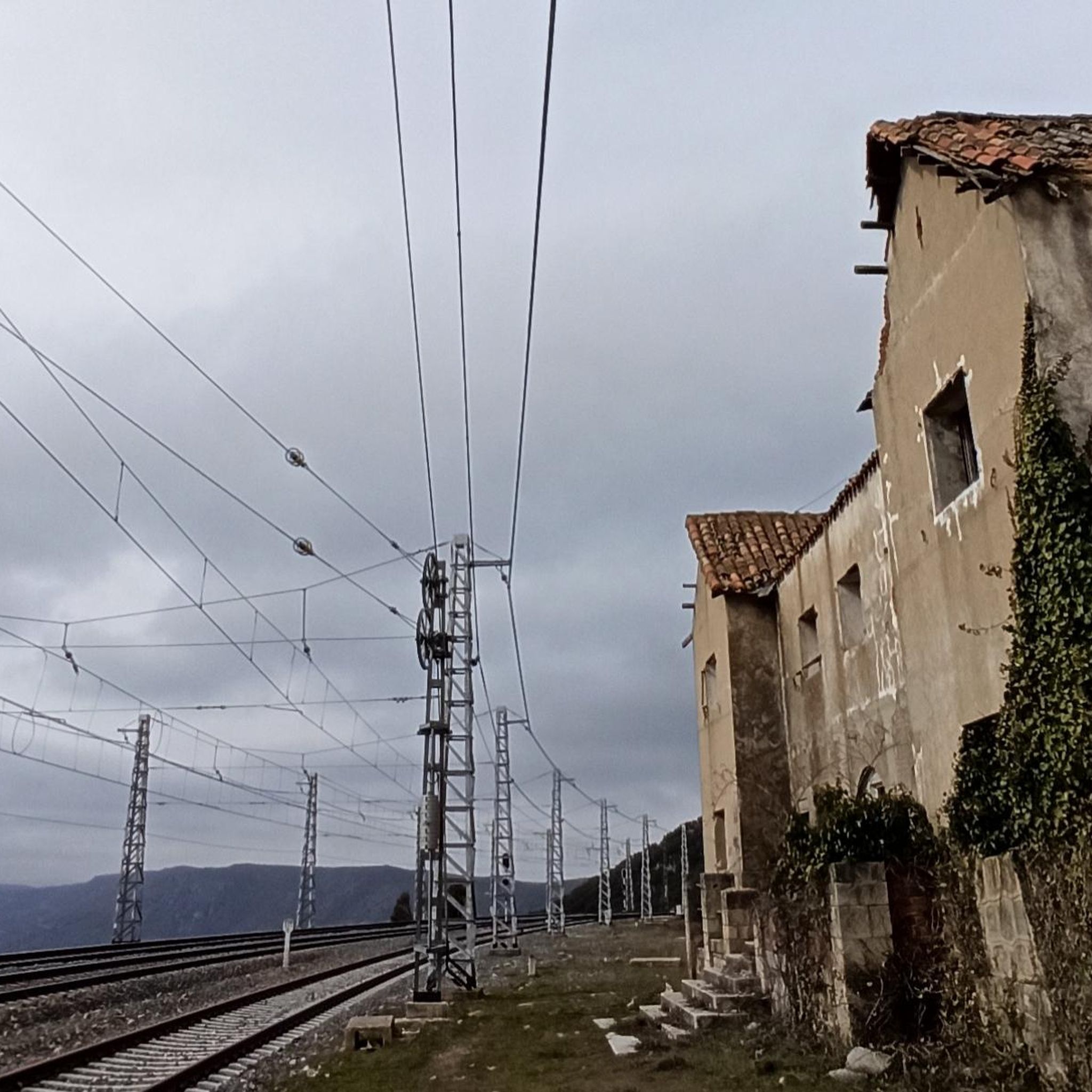
Stage 2. Ávila/Madrid 140 km. 2,500 m positive. On the way back to Madrid we followed the route of the Camino de Santiago de Levante to the Alberche River with some variations to maintain cyclability and an acceptable average. The yellow arrows on the Jacobean route point towards Santiago de Compostela and at some intersections it is not easy to see them in the opposite direction. The track is essential to follow these “author” routes. The route leaves Ávila along the plain of the Chico River to Tornadizos de Ávila and continues along the cattle trails from the sources of the Tornadizos River to some spectacular pastoral meadows in the hills of El Cabezuelo. The final stretch of the climb follows a path that has good cyclability with good grinding technique and expertise on mountain trails. The path passes a gate with yellow arrows and goes down to the port of Boquerón, between the Cuerda de los Polvisos and the Malagón mountain range, one of the entrances to the great Herradón de Pinares grave. The descent along the Camino de Santiago is an uncomfortable and complicated trial with the bags due to the pavement and the vegetation and to maintain the pace we go down the road gliding over a deceptive landscape, we pass through El Herradón and continue to San Bartolomé de Pinares. The climb through the cobblestone streets of the town is tough and the exit through the forks of the Camino de Levante ends with an infernal wall, until the slope ends on a hill adorned with a milestone of the Jacobean route that has indications of the distances to different places. in the world, from Ávila and Madrid to Beijing or New Zealand.
0
0

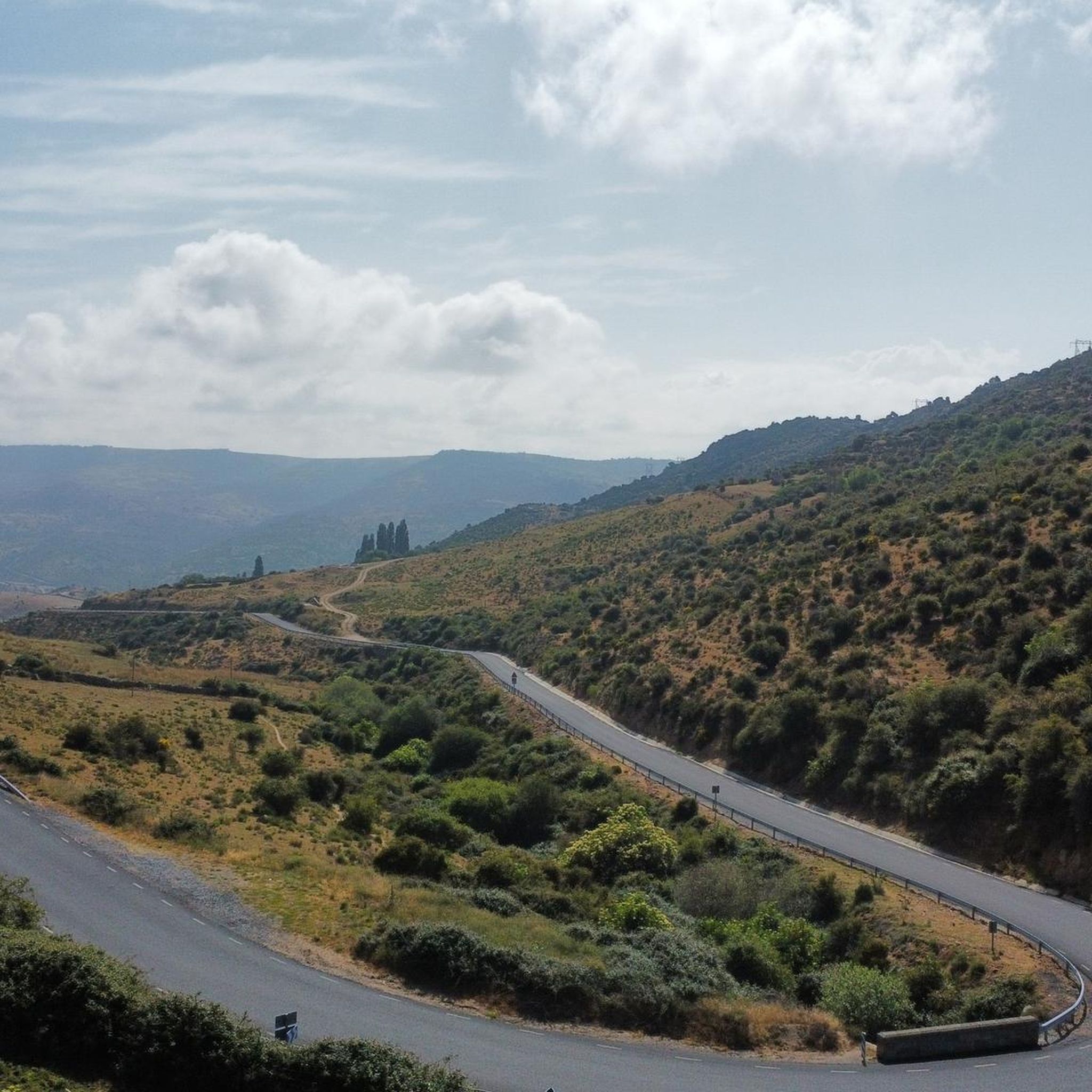
Quite dangerous descent, very steep and completely full of loose stones, from the wind turbine rope along the so-called Llanada de Juan Rodríguez until reaching a paved track.
0
0

The Hermitage of Santisimo Cristo de Gracia may date from the late 15th century. The ranchers' brotherhood was founded in this hermitage.
1
0

Tornadizos de Ávila is a small town on the eastern outskirts of Ávila. The town is located on the pilgrimage route from Madrid and Santiago de Compostela, carried out by many every day for centuries.
1
0
The pilgrimage route from Madrid to Santiago de Compostela on the outskirts of Ávila. Compact gravel road that has seen the passage of time and the passage of numerous pilgrims.
1
0
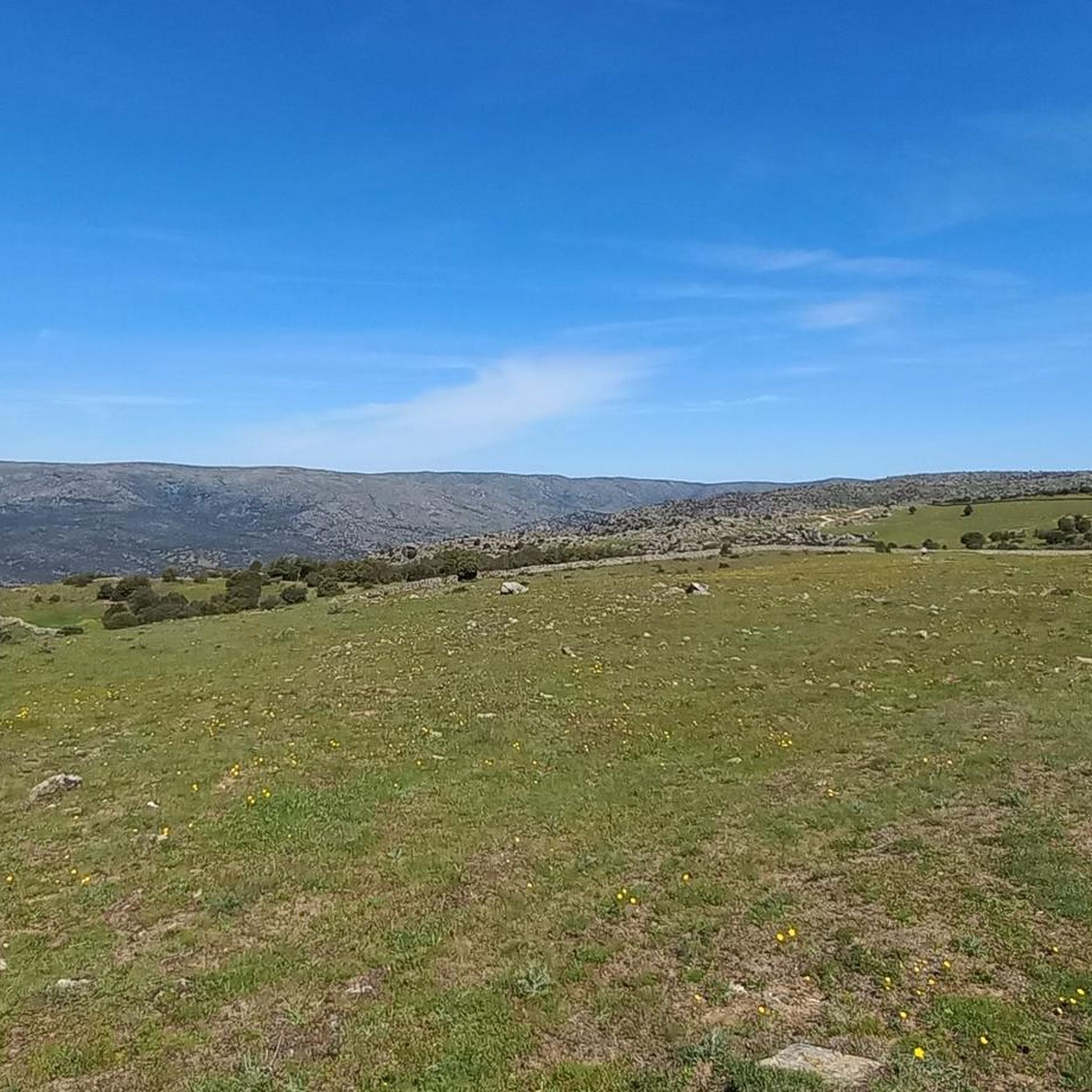
Hiking route that runs through the old grazing and livestock trading routes of this area of Ávila. The Navalperal de Pinares path transports you to the past. Slow down and enjoy nature
0
1
Frequently Asked Questions
How many mountain bike trails are there in Herradón De Pinares?
There are 15 mountain bike trails available around Herradón De Pinares. These routes traverse a diverse landscape of pine forests, river valleys, and offer views towards the Sierra de Gredos.
Are there easy mountain bike trails suitable for beginners in Herradón De Pinares?
Yes, Herradón De Pinares offers 3 easy mountain bike trails. A great option for beginners is the St. Michael the Archangel Church – View of the Valley and Fields loop from Tornadizos de Ávila, an 19.0 km route that provides scenic views without excessive difficulty.
What kind of terrain can I expect on mountain bike trails in Herradón De Pinares?
The terrain in Herradón De Pinares is quite varied, ranging from gentle paths through pine forests and river valleys to more challenging sections. You'll find a mix of open fields and trails that wind through the 'Tierra de Pinares' (Land of Pine Forests), offering diverse riding experiences.
Are there any circular mountain bike routes in Herradón De Pinares?
Yes, many of the mountain bike routes in Herradón De Pinares are circular. For example, the moderate Alto Bike Lane – View of the Valley and Fields loop from Tornadizos de Ávila is a 25.1 km loop that provides expansive views of the surrounding landscape.
What are some challenging mountain bike trails for experienced riders?
For experienced riders seeking a challenge, Herradón De Pinares has 7 difficult trails. One notable option is the 11% ramp (20 meters) – El Herradón loop from Herradón-La Cañada, a 42.5 km route that leads through diverse and demanding terrain.
What natural attractions can I see while mountain biking in Herradón De Pinares?
While mountain biking, you can encounter several natural attractions. The region is known for its pine forests and the Gaznata River valley. You might also spot the Mirador del Canchal viewpoint or the Navalperal de Pinares Reservoir, offering picturesque stops along your ride.
Are there any historical landmarks or points of interest near the mountain bike trails?
Yes, Herradón De Pinares has historical points of interest. You can find the Dolmen del Prado de Las Cruces, an ancient historical site, or explore the village of El Herradón with its traditional stone houses and the Roman bridge.
What do other mountain bikers say about the trails in Herradón De Pinares?
The mountain bike trails in Herradón De Pinares are highly rated by the komoot community, with an average score of 4.8 stars. Riders often praise the varied terrain, the beautiful pine forests, and the expansive views of the surrounding landscape.
Is Herradón De Pinares a good destination for birdwatching while cycling?
Yes, Herradón De Pinares is an excellent location for birdwatching. Its unique transversal valley within the Central System serves as an important migratory corridor for birds, making it a valuable spot to observe diverse birdlife throughout the year while you're out on the trails.
Are there any specific routes that offer particularly scenic viewpoints?
Many routes offer scenic views, especially those that traverse the river valleys and higher elevations. The St. Michael the Archangel Church – Alto Bike Lane loop from Tornadizos de Ávila is an easy route that provides lovely vistas of the valley and fields, allowing you to appreciate the natural beauty of the region.
What is the best time of year for mountain biking in Herradón De Pinares?
Herradón De Pinares offers good mountain biking conditions for much of the year. The diverse flora, including santolina and narcissus, adds to the beauty, especially in spring. While specific winter conditions can vary, the region's natural environment is generally inviting for cycling outside of extreme weather.
Most popular attractions around Herradón De Pinares

Get inspired with the komoot mobile app


Explore more
Browse the best MTB trails in other regions.
