The best gravel rides around Peralejos De Las Truchas
4.9
(10)
171
riders
5
rides
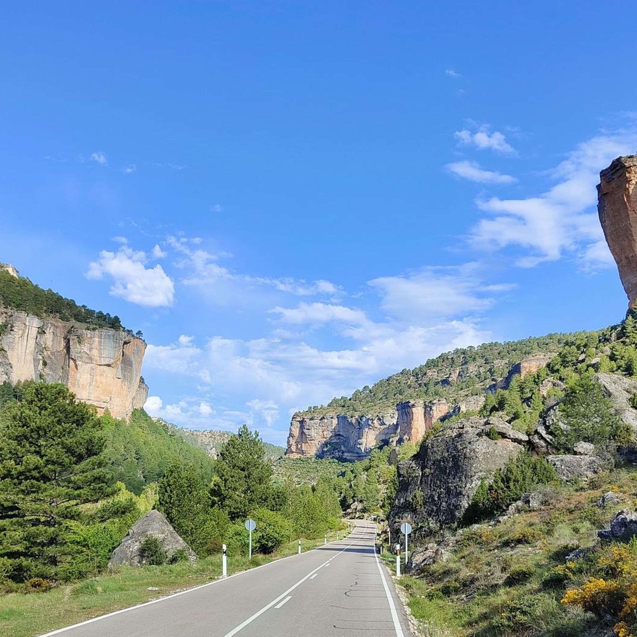
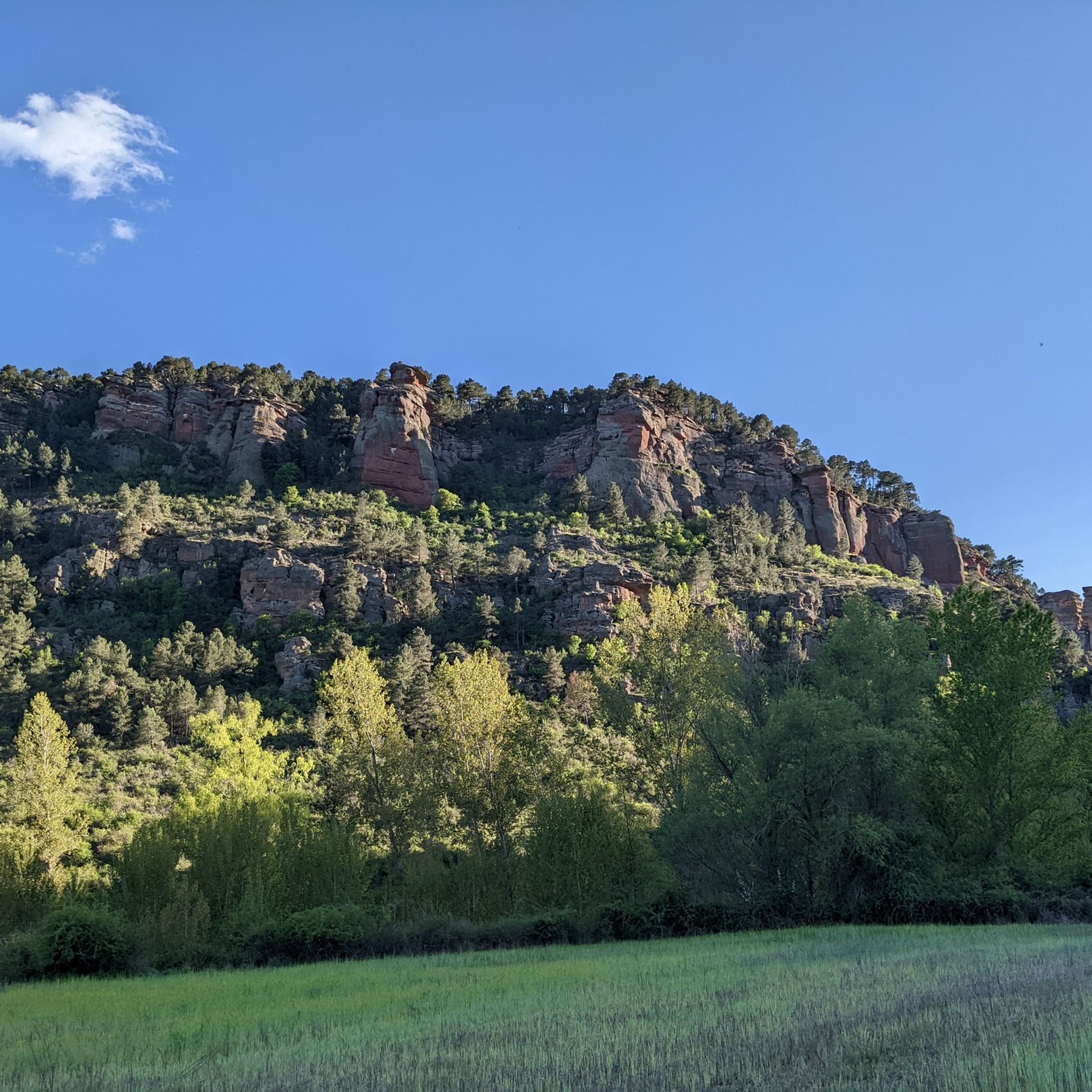
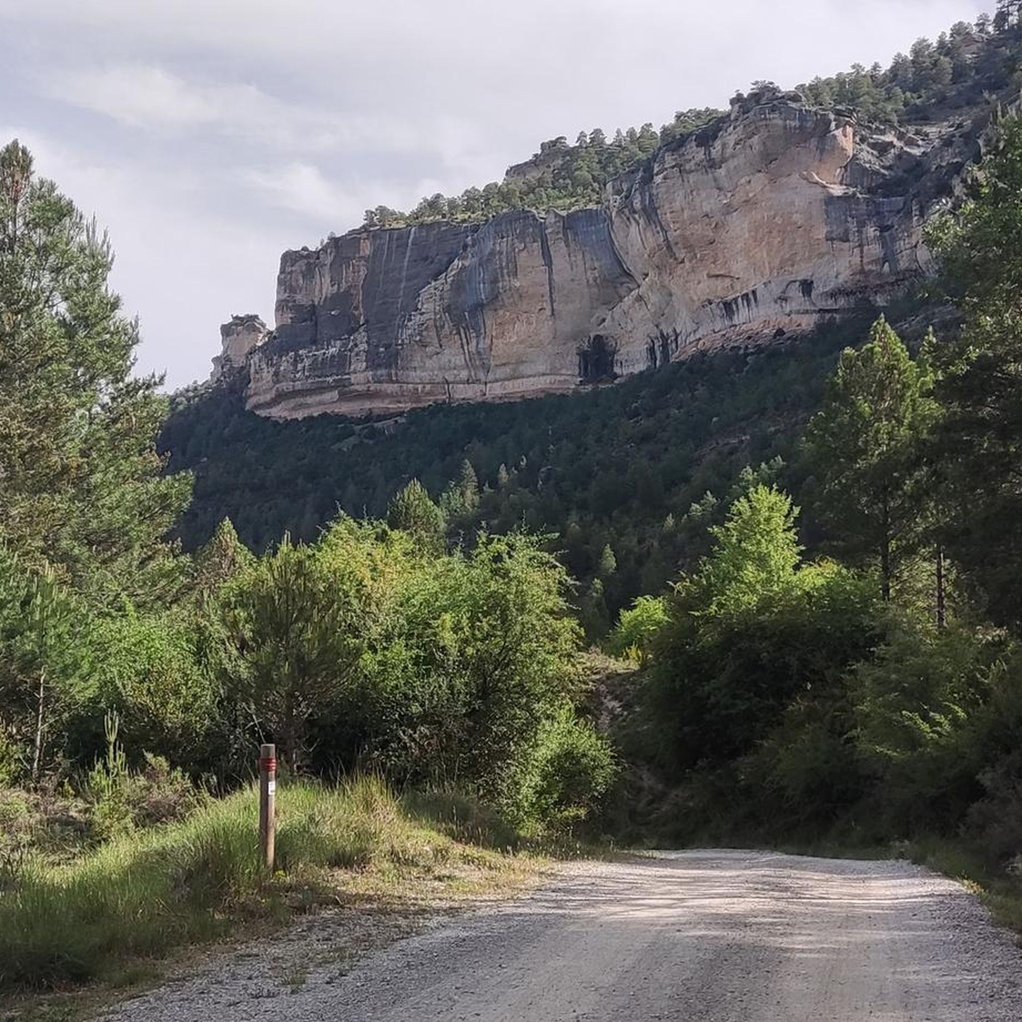
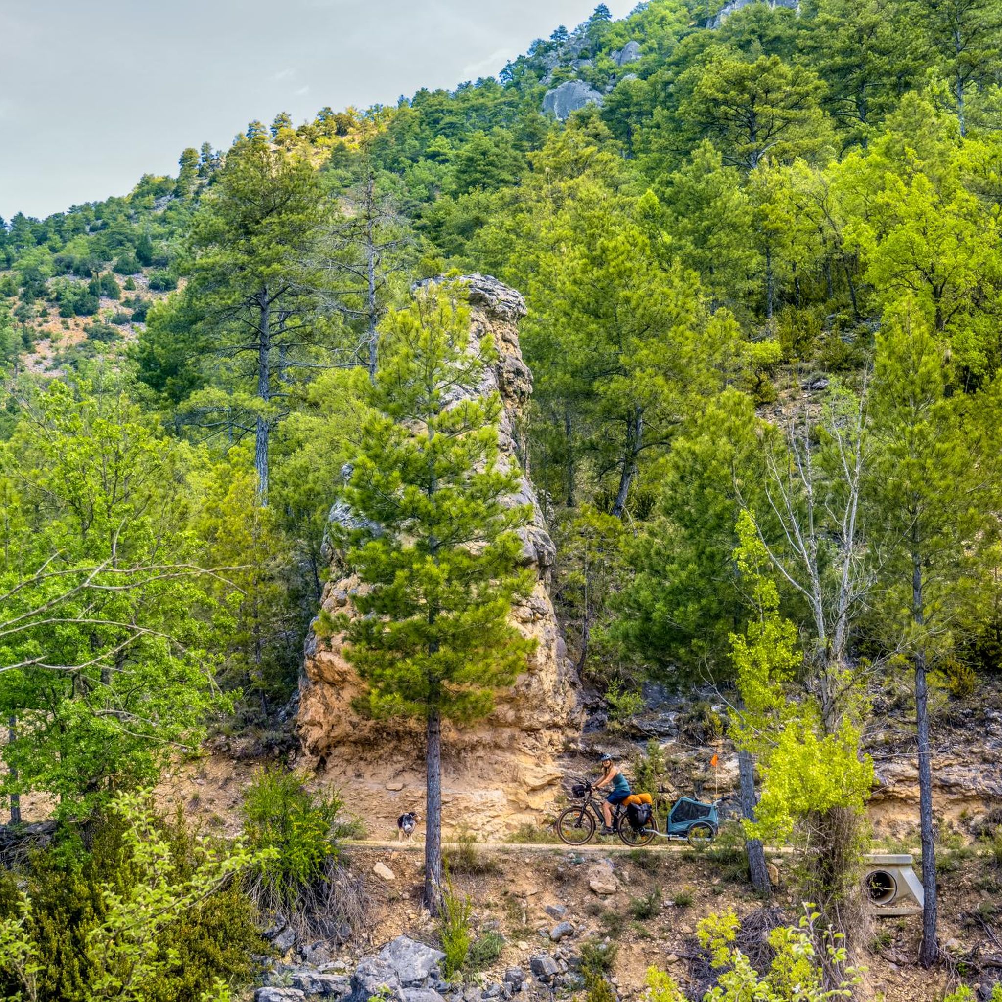
Gravel biking around Peralejos De Las Truchas is characterized by its location within the Alto Tajo Natural Park, featuring dramatic geological formations including canyons, gorges, and deep ravines carved by rivers such as the Tajo. The terrain includes extensive pine forests, striking red sandstone cliffs, and significant elevation changes ranging from approximately 1080 meters to 1701 meters above sea level. These varied landscapes provide a diverse environment for gravel biking.
Best gravel bike trails around Peralejos De Las Truchas
- The…
Last updated: July 6, 2026
4.6
(7)
114
riders
Hard gravel ride. Very good fitness required. Mostly paved surfaces. Suitable for all skill levels.
5.0
(2)
46
riders
73.2km
05:56
1,060m
1,050m
Hard gravel ride. Very good fitness required. Mostly paved surfaces. Suitable for all skill levels.

Sign up for free
3
riders
Hard gravel ride. Very good fitness required. Mostly paved surfaces. Suitable for all skill levels.
5.0
(1)
6
riders
50.9km
04:33
900m
900m
Hard gravel ride. Very good fitness required. Mostly paved surfaces. Suitable for all skill levels.
1
riders
Hard gravel ride. Very good fitness required. Mostly paved surfaces. Suitable for all skill levels.
Our route recommendations are based on thousands of hikes, rides, and runs completed by other people on komoot.
Start today with a free account
Your next adventure awaits.
Login or Signup
Popular around Peralejos De Las Truchas

Albarracín to Toledo – Eastern Tagus Nature Trail
A journey on the Iberian Peninsula – Tagus Nature Trail
Road Cycling Routes around Peralejos De Las Truchas
MTB Trails around Peralejos De Las Truchas
Hiking around Peralejos De Las Truchas
Cycling around Peralejos De Las Truchas
Running Trails around Peralejos De Las Truchas
Other adventures around Peralejos De Las Truchas


Tips from the Community

Refuge in perfect condition for spending a night, it had four bunk beds, a fireplace area, and a small stable.
0
0

It's a shaded, cool rest area where you can relax and have a bite to eat on the stone benches. In Peralejos, there's a small grocery store where you can buy food or toiletries.
9
0
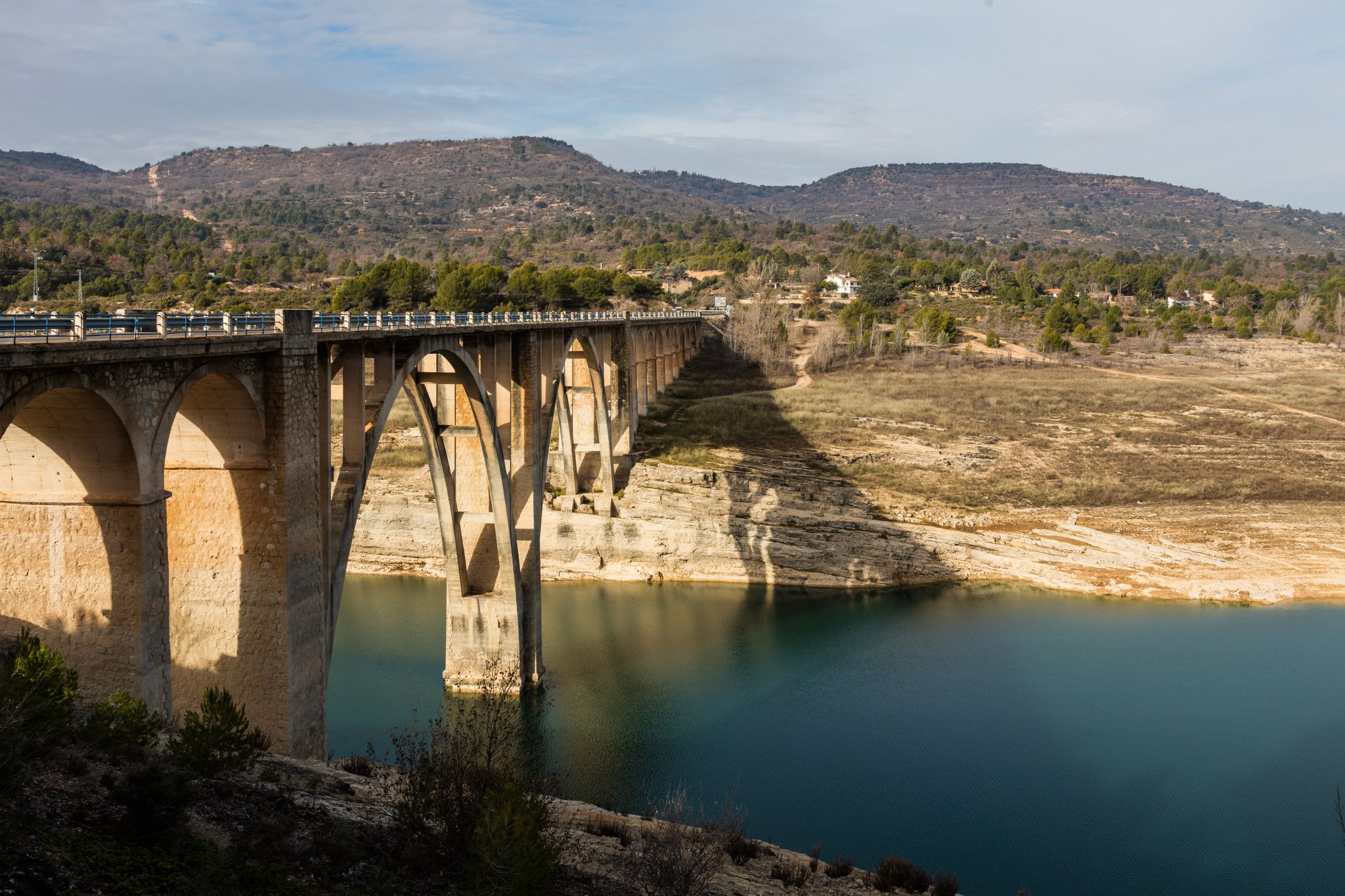
This spectacular bridge is almost hidden from view and serves as an excuse to cross the Tagus River from one bank to the other. It is very well preserved and is located next to several striking rock faces.
9
0
They are a series of rural houses called "El Salto" (The Salto) located in a privileged setting, very close to the Tajo suspension bridge, and are accessed from the road via a dirt forest track. This place also has a small restaurant where you can have lunch and spend some pleasant moments.
9
0
This viewpoint is located in a privileged place in front of a spectacular rocky cliff, which if you pass by on your bike on a hot day when the heat reflects its image on this wall... I think you'll have to stop and rest for a few seconds.
9
0
This descending valley, which runs alongside the Tagus River for many kilometres, is full of unique and unrepeatable corners, due to the capricious formations that occur every few metres.
9
0
What an exclusive paradise and privileged setting this lagoon has, whose waters come almost exclusively from underground seepage. Swimming is permitted in this lagoon, but recreational diving is prohibited.
9
0
This is undoubtedly one of the Tagus's great wonders. Crossing the beautiful river on a suspension bridge like this one, where motor vehicles are prohibited, reduces the number of crossing options. Walkers and cyclists can enjoy the oscillating motion experienced by the bridge's anchorage. Absolutely recommended!
7
0
Frequently Asked Questions
How many gravel bike trails are available in Peralejos De Las Truchas?
There are 5 gravel bike trails available around Peralejos De Las Truchas, all rated as difficult. These routes offer a challenging experience through the stunning landscapes of the Alto Tajo Natural Park.
What kind of terrain can I expect on gravel bike trails in Peralejos De Las Truchas?
The terrain is highly varied and challenging, characterized by dramatic geological formations including canyons, gorges, and deep ravines carved by rivers like the Tajo. You'll encounter extensive pine forests, striking red sandstone cliffs, and significant elevation changes, with routes often featuring considerable inclines and technical sections.
Are there any family-friendly or easier gravel biking options in Peralejos De Las Truchas?
The gravel bike routes around Peralejos De Las Truchas are generally rated as difficult, featuring considerable inclines and varied terrain. While the region offers diverse landscapes, those seeking easier or family-friendly options might find the existing routes quite challenging. It's advisable to check individual route details for suitability.
What are some notable natural attractions I can see along the gravel bike trails?
Many trails offer access to the region's natural beauty. You might encounter the impressive Estrecho del Horcajo Viewpoint, the serene Laguna de Taravilla, or the picturesque Salto de Poveda Waterfall. The Suspension bridge over the River Tajo is also a popular spot.
Are there any circular gravel bike routes available?
Yes, several routes are designed as loops. For example, the Trail along the Tajo River – Beteta loop from Estacionamiento de tierra / Escalón pronunciado para bajar! is a challenging 107 km circular route. Another option is the Puente de Peñalén – Trail along the Tajo River loop from Peñalén, covering 73 km.
What is the best season for gravel biking in Peralejos De Las Truchas?
The Alto Tajo Natural Park experiences significant elevation changes, influencing weather conditions. Generally, spring and autumn offer pleasant temperatures for gravel biking. Summers can be hot, while winters can bring cold temperatures and snow, especially at higher elevations. Always check the local forecast before heading out.
Can I bring my dog on the gravel bike trails in Alto Tajo Natural Park?
The Alto Tajo Natural Park is a protected area with specific regulations regarding pets. While dogs are generally allowed on trails, they must be kept on a leash to protect wildlife, especially raptors like golden eagles and griffon vultures, which are abundant in the area. Always respect park rules and local signage.
What do other gravel bikers enjoy most about the trails in Peralejos De Las Truchas?
The gravel biking experience in Peralejos De Las Truchas is highly rated by the komoot community, with an average score of 4.9 stars. Riders frequently praise the stunning natural landscapes, the challenging and varied terrain, and the sense of adventure offered by routes that traverse pine forests, canyons, and river valleys.
Are there any specific permits required for cycling in Alto Tajo Natural Park?
While general access for cycling on established tracks is usually permitted, it's always advisable to check the official Alto Tajo Natural Park regulations for any specific permits required for certain areas or activities, especially if you plan to venture off marked routes or engage in organized events. You can find more information on the official park website.
Where can I park my car when starting a gravel bike tour in Peralejos De Las Truchas?
Peralejos De Las Truchas, being a base for outdoor activities, typically offers parking options within or near the village. Many routes, such as the Trail along the Tajo River – Beteta loop, start from designated parking areas like 'Estacionamiento de tierra'. It's recommended to check the starting point details of your chosen route for specific parking information.
What is the longest gravel bike route available in the area?
The longest gravel bike route is the Trail along the Tajo River – Beteta loop from Estacionamiento de tierra / Escalón pronunciado para bajar!, which spans 107.2 km and typically takes over 10 hours to complete. This difficult route follows the Tajo River through varied natural landscapes.
Are there any towns or villages along the routes where I can find amenities?
Some routes pass through or near small villages. For instance, the The towers of Chequilla – Checa Village loop from Checa starts from Checa, a village that offers some amenities. It's always a good idea to plan your stops and carry sufficient supplies, as services can be sparse in this natural park.
Most popular attractions around Peralejos De Las Truchas

Get inspired with the komoot mobile app


Explore more
Browse the best Gravel rides in other regions.
