The best road cycling routes around Peralejos De Las Truchas
4.0
(1)
157
riders
11
rides
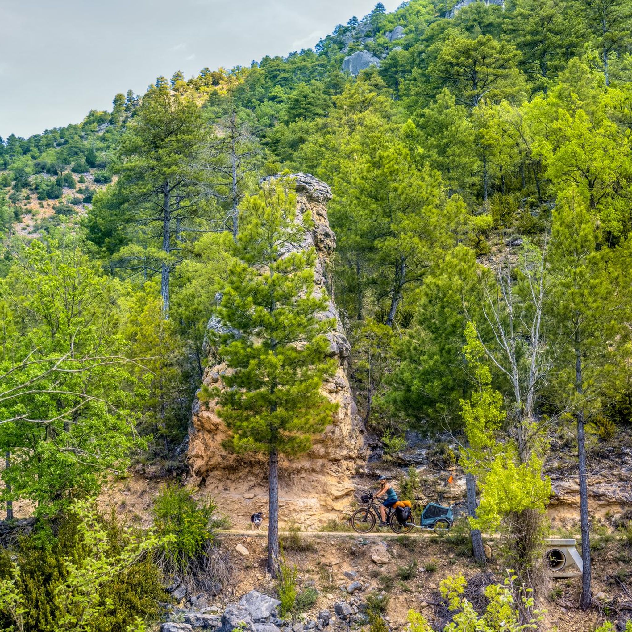
Road cycling routes around Peralejos De Las Truchas are situated within the Alto Tajo Natural Park in Guadalajara, Castilla-La Mancha, Spain. The region features a diverse landscape characterized by deep canyons carved by rivers such as the Tajo, Hoz Seca, and Cabrillas, alongside extensive pine forests and mountains. Elevations range from approximately 1080 meters to 1701 meters above sea level, providing varied terrain with significant ascents and descents. This topography offers a challenging environment for road cyclists.
Best road cycling…
Last updated: July 7, 2026
4.0
(1)
25
riders
127km
06:35
2,210m
2,210m
Hard road ride. Very good fitness required. Some segments of this route may be unpaved and difficult to ride.
13
riders
70.4km
03:51
1,490m
1,480m
Hard road ride. Very good fitness required. Some segments of this route may be unpaved and difficult to ride.

Sign up for free
12
riders
92.3km
04:56
1,610m
1,610m
Hard road ride. Very good fitness required. Mostly well-paved surfaces and easy to ride.
4
riders
142km
07:31
2,470m
2,470m
Hard road ride. Very good fitness required. Mostly well-paved surfaces and easy to ride.
27
riders
62.2km
02:57
790m
790m
Moderate road ride. Good fitness required. Mostly well-paved surfaces and easy to ride.
Get access to more routes and recommendations from other explorers.
Sign up for free
Already have an account?
Our route recommendations are based on thousands of hikes, rides, and runs completed by other people on komoot.
Start today with a free account
Your next adventure awaits.
Login or Signup
Popular around Peralejos De Las Truchas

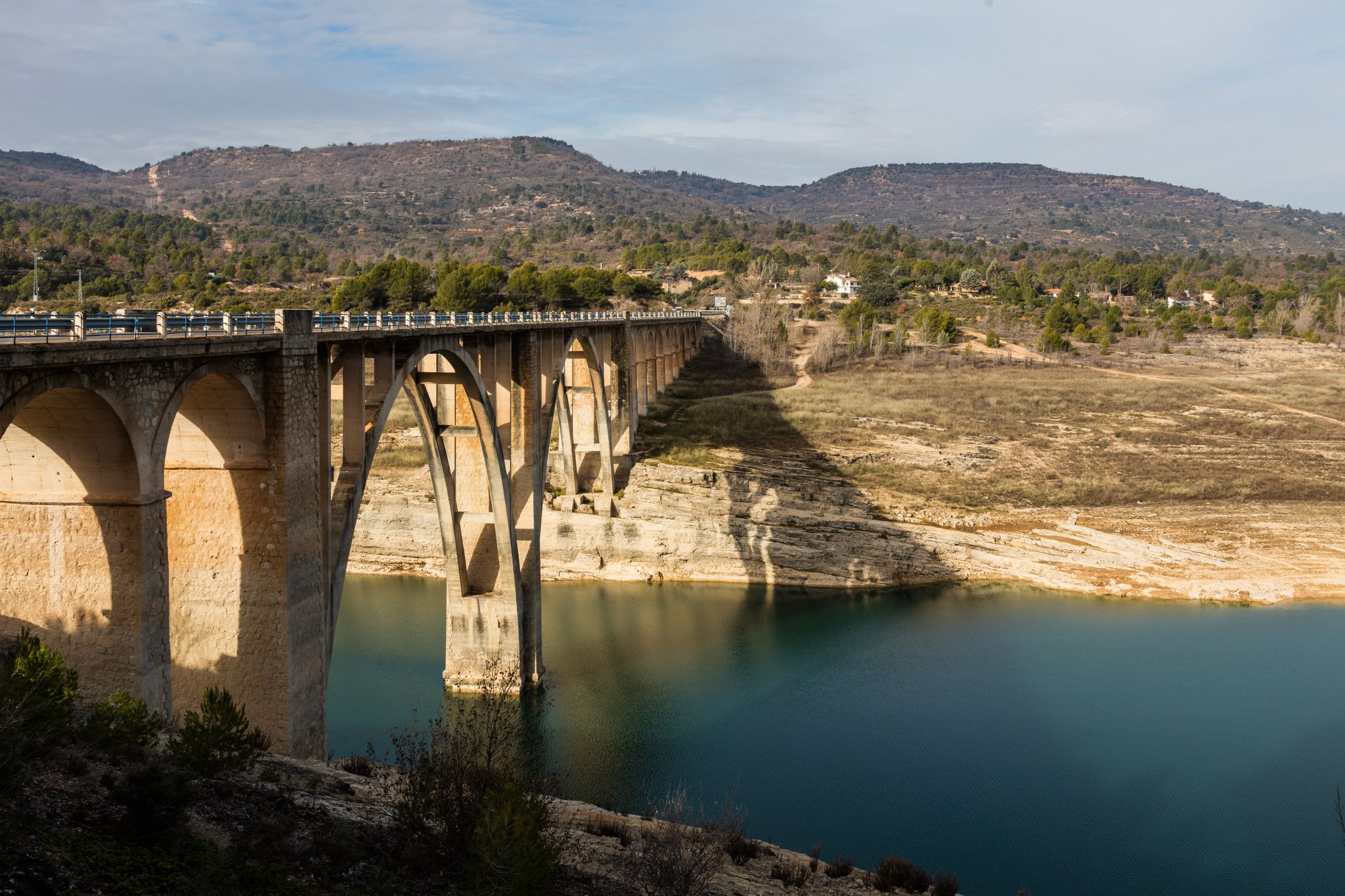
Albarracín to Toledo – Eastern Tagus Nature Trail
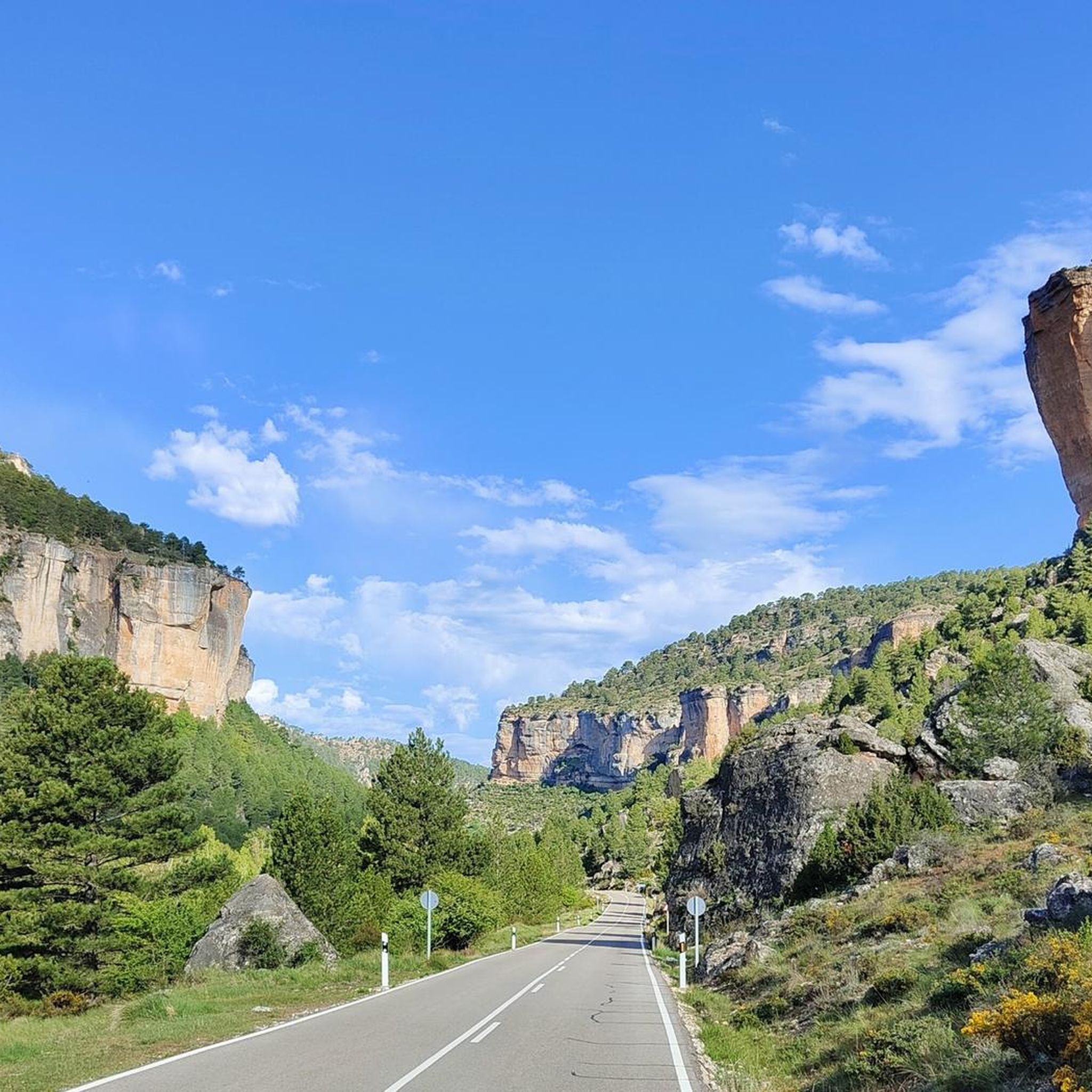
A journey on the Iberian Peninsula – Tagus Nature Trail
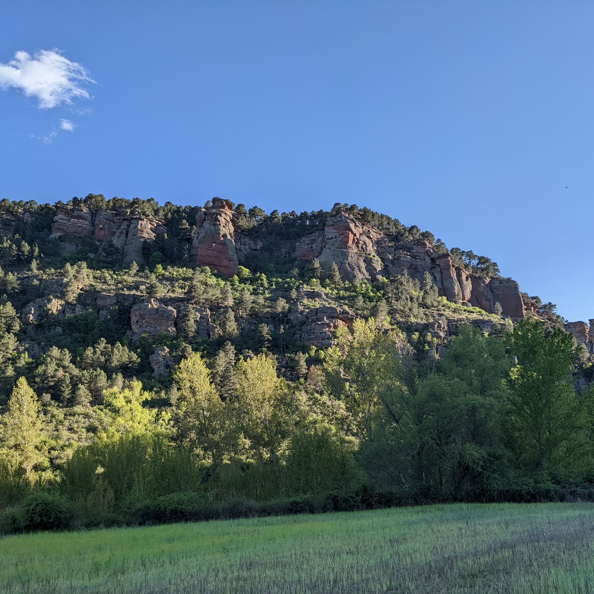
MTB Trails around Peralejos De Las Truchas
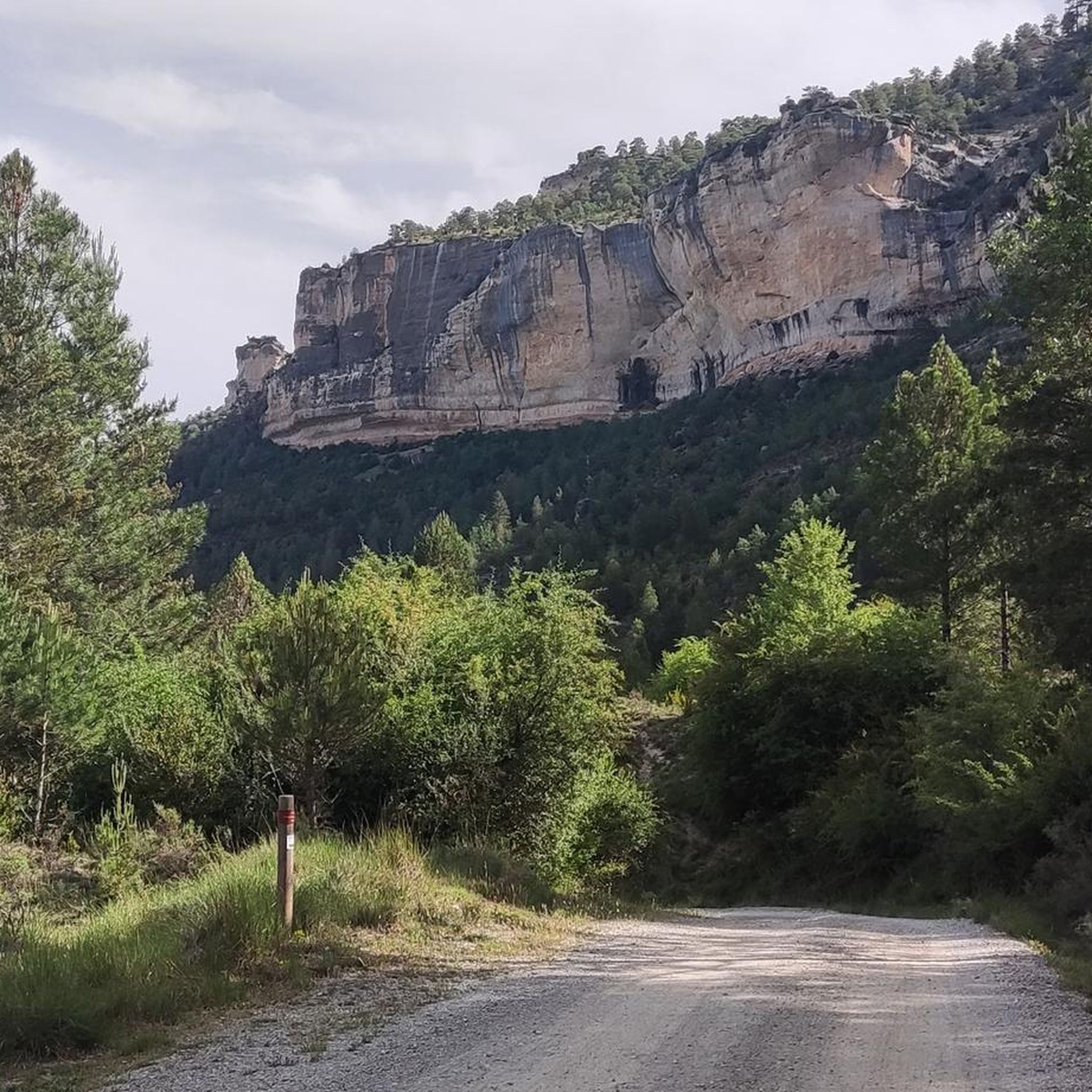
Hiking around Peralejos De Las Truchas
Cycling around Peralejos De Las Truchas

Gravel biking around Peralejos De Las Truchas
Running Trails around Peralejos De Las Truchas
Other adventures around Peralejos De Las Truchas


Tips from the Community

This small town is a haven of water everywhere, and it helps to dispel the anxiety that has accumulated due to the lack of water until I arrived here, as was my case. The municipal building and the church stand out next to the stream, where some ducks permanently reside.
8
0
This is one of the attractions of the mountains, offering a natural spectacle as we observe the significant source of the Cuervo River. The area also offers parking, rest areas, and several bars and restaurants for lunch.
8
0
A town with abundant water everywhere, which adds to the beauty of Checa. It's much more vibrant than most nearby towns. Its church, town hall, and small square give it a special essence, which, along with the small stream where some ducks live, create a beautiful setting.
9
0
Here we find some informational signs about the spring of the famous Cuervo River. In this area, there are ample parking and shaded areas where you can rest.
8
0
We are at the entrance to the source of the Cuervo River, where there are shaded areas and open spaces for parking, as well as stone tables for lunch if we wish.
9
0

Checa, 271 inhabitants (as of 2024), province of Guadalajara, Castile-La Mancha, at an altitude of 1370 m.
0
0

Orihuela del Tremedal has its roots in medieval times. It is believed that the town was founded in the 12th century, during the Reconquista, when Christians recovered territories from the Muslims.
13
0
The Cuervo River Spring is a dream place in the Serranía de Cuenca, Spain. This Natural Monument houses a main waterfall with a height of more than 20 meters, leaving those who contemplate it breathless. Here, the Cuervo River springs from a spring of travertine origin, flowing over limestone rock covered with moss, forming beautiful waterfalls called chorreras.
12
0
Frequently Asked Questions
What kind of terrain can I expect on road cycling routes around Peralejos De Las Truchas?
The region offers a diverse and challenging landscape for road cyclists. You'll encounter significant elevation changes, with altitudes ranging from approximately 1080 meters to 1701 meters above sea level. Routes often feature strenuous climbs and exhilarating descents through deep canyons carved by rivers like the Tajo, Hoz Seca, and Cabrillas, as well as dense pine forests and mountainous areas within the Alto Tajo Natural Park.
Are there road cycling routes suitable for beginners or those seeking an easier ride?
While the area is known for its challenging terrain, with most routes rated as difficult, there is one route classified as moderate. This allows for a slightly less strenuous option while still enjoying the beautiful scenery of the Alto Tajo Natural Park.
What are some notable natural features or landmarks I can see along the road cycling routes?
The routes often pass through or near impressive natural features. You can expect dramatic canyons, dense pine forests, and stunning viewpoints. Specific highlights include the Salto de Poveda Waterfall, the tranquil Laguna de Taravilla, and the impressive Peralejos de las Truchas Cliffs. Many routes also offer panoramic views from various miradores.
Are there any circular road cycling routes in the area?
Yes, several routes are designed as loops, allowing you to start and finish in the same location. For example, the Alto Tajo Park and Peralejos de las Truchas Loop is a difficult 43.7-mile (70.3 km) path offering varied terrain within the natural park. Another option is the Climb to the ports of Muela de San Juan and Puerto de Noguera — circular from Checa, a 57.4-mile (92.3 km) trail through mountainous terrain.
What is the best time of year for road cycling in Peralejos De Las Truchas?
The region's climate makes spring and autumn ideal for road cycling, offering pleasant temperatures and vibrant natural scenery. Summers can be warm, while winters may bring colder conditions and potential for snow at higher elevations, making some routes more challenging or inaccessible.
Are there any long-distance road cycling routes for experienced riders?
Absolutely. For experienced riders seeking a significant challenge, the Serranía de Cuenca and Alto Tajo Loop is a difficult 79.1-mile (127.3 km) trail that traverses the Sierra de Albarracín and the Alto Tajo region. Another demanding option is the Birth of the Tajo River - circular through the Montes Universales, spanning over 140 km.
Can I find routes that offer impressive viewpoints?
Yes, the mountainous topography and deep canyons provide numerous opportunities for breathtaking views. Miradores like El Rasón and Pie Molino are prominent viewpoints mentioned in the region research. Additionally, the Megina and Chequilla Viewpoint loop from Pinilla de Molina is specifically designed to showcase scenic vistas.
Are there options for parking near the road cycling routes?
While specific parking areas for each route are not detailed, Peralejos de las Truchas and surrounding villages typically offer public parking facilities. It's advisable to check local information for the most convenient starting points with parking availability for your chosen route.
What is the average duration for road cycling routes in this area?
The duration varies significantly based on the route's length and difficulty. For instance, the Serranía de Cuenca and Alto Tajo Loop typically takes around 6 hours and 34 minutes, while the Alto Tajo Park and Peralejos de las Truchas Loop can be completed in about 3 hours and 50 minutes. Most difficult routes range from 3 to 7 hours.
Are there any bridges or unique structures to see along the routes?
Yes, the region features interesting structures that are often integrated into cycling and hiking trails. The Suspension bridge over the River Tajo is a notable landmark, as is the Tajo River Suspension Bridge, Parque Natural del Alto Tajo. Puente de Martinete, marking the provincial boundary, is also a significant point of interest.
What makes road cycling in Peralejos De Las Truchas unique compared to other regions?
The unique appeal lies in its location within the Alto Tajo Natural Park, offering a pristine and tranquil environment. The dramatic canyons carved by three major rivers, combined with significant elevation changes and dense pine forests, create a cycling experience that is both physically demanding and visually spectacular, providing a true escape into nature.
Most popular attractions around Peralejos De Las Truchas

Get inspired with the komoot mobile app


Explore more
Browse the best Road cycling routes in other regions.
