The best running trails around Šerák-Keprník
303
runners
34
runs
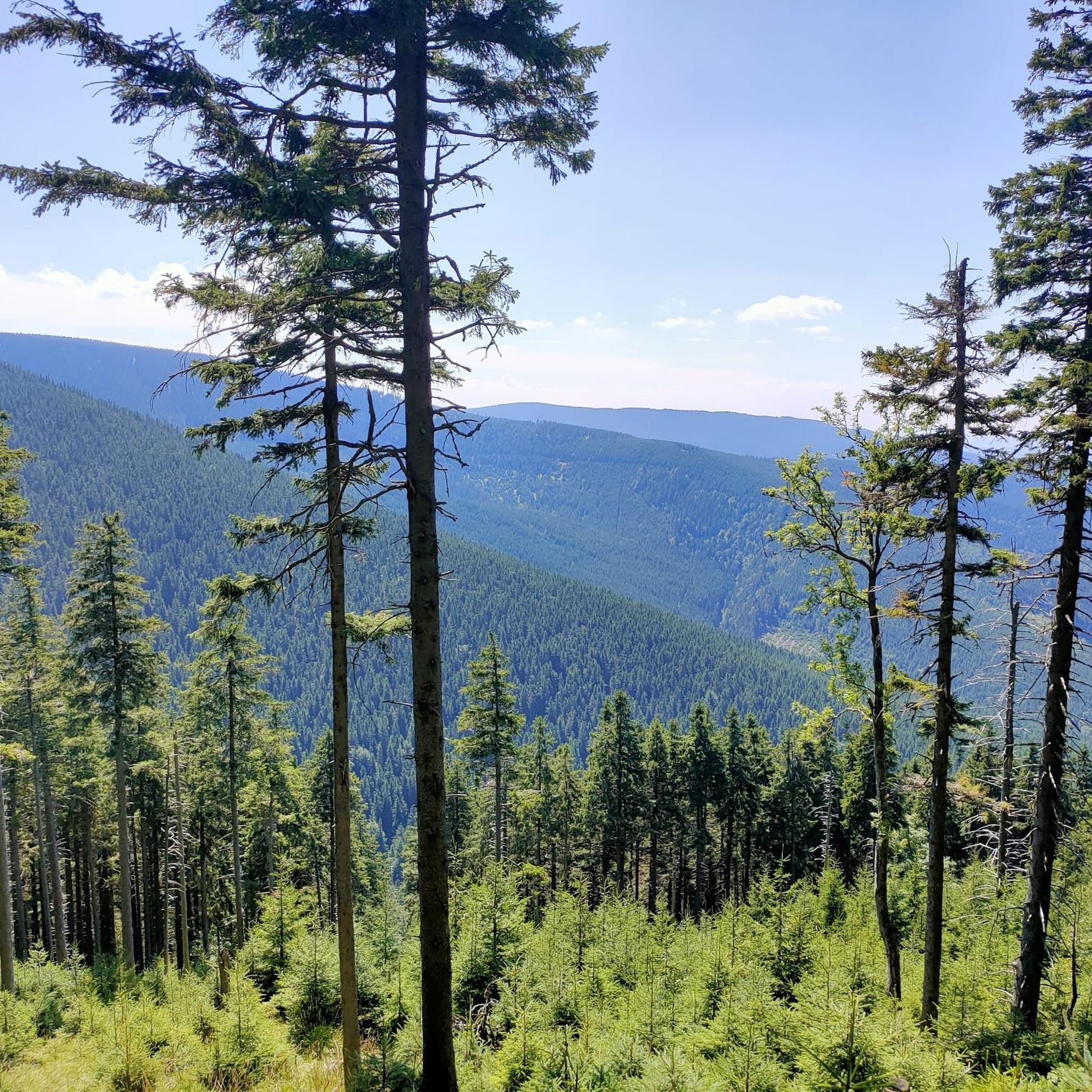
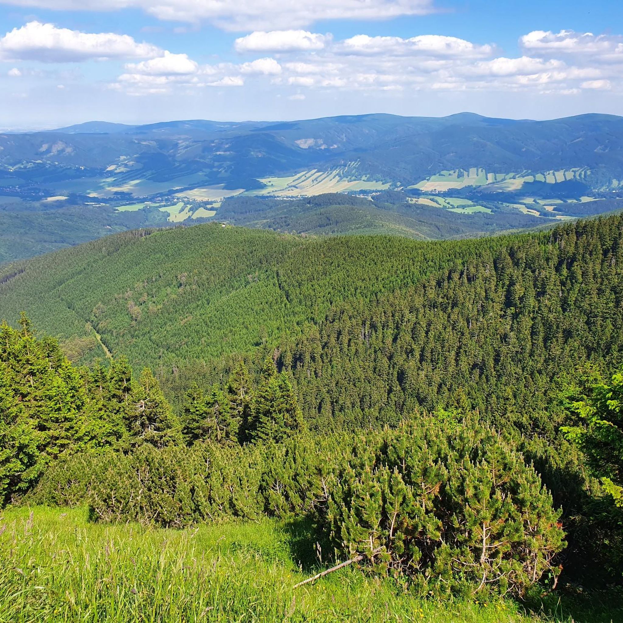
Jogging routes around Šerák-Keprník traverse a National Nature Reserve within the Hrubý Jeseník mountains, offering diverse landscapes for runners. The region features an alpine environment, particularly around Keprník (1423 meters) and Šerák (1351 meters), characterized by elongated mountain ridges and ancient fir forests. Joggers can experience varied terrains, including alpine meadows and paths through geological formations like cryoplanation terraces. The area provides panoramic views of the surrounding Jeseníky peaks and other mountain ranges.
Best jogging routes around Šerák-Keprník
- The most popular jogging route is View from Kaperník – Keprník Summit loop from Ramzová, a 10.0 miles (16.1 km) trail that takes 2 hours 29 minutes to complete. This difficult route offers panoramic views from the Keprník summit.
- Another top favourite among local runners is Iwinka (1,079 m) – Dukt nad Spławami Forest Path loop from Ramzová, a difficult 18.2 miles (29.3 km) path. This route leads through ancient fir forests and along a forest path with significant elevation changes.
- Local runners also love the Šerák Junction – Mračná hora [Ostružná] loop from Ramzová, a 7.1 miles (11.5 km) trail leading through mountain ridges and forested areas, often completed in about 1 hour 37 minutes.
- Jogging around Šerák-Keprník is defined by alpine landscapes, elongated mountain ridges, and ancient fir forests. The network offers options for different ability levels, from moderate to difficult.
- The routes in Šerák-Keprník are highly rated by the komoot community with an average score of 4.0 stars from over 1 review. More than 300 runners have used komoot to explore Šerák-Keprník's varied terrain.
Last updated: July 1, 2026
13
runners
16.1km
02:29
780m
780m
Hard run. Very good fitness required. Sure-footedness, sturdy shoes and alpine experience required.
7
runners
29.3km
03:22
620m
620m
Hard run. Very good fitness required. Mostly paved surfaces. Suitable for all skill levels.

Sign up for free
5
runners
11.5km
01:38
570m
570m
Hard run. Very good fitness required. Sure-footedness, sturdy shoes and alpine experience required.
35
runners
20.2km
02:26
550m
550m
Hard run. Very good fitness required. Mostly paved surfaces. Suitable for all skill levels.
18
runners
38.5km
04:54
1,500m
1,500m
Hard run. Very good fitness required. Mostly paved surfaces. Suitable for all skill levels.
Get access to more routes and recommendations from other explorers.
Sign up for free
Already have an account?
Our route recommendations are based on thousands of hikes, rides, and runs completed by other people on komoot.
Start today with a free account
Your next adventure awaits.
Login or Signup
Tips from the Community

Nothing here is left to cyclists; people hike here, or maybe even the old man rides up here on his bike. 🤣🇨🇿👌😎🗼🌪
7
0
Here you can get your hair done, beautiful cliff with a panoramic guarantee.🌪
7
0

Not suitable for racing bikes
0
0

a mandatory point to walk or cycle through
1
0


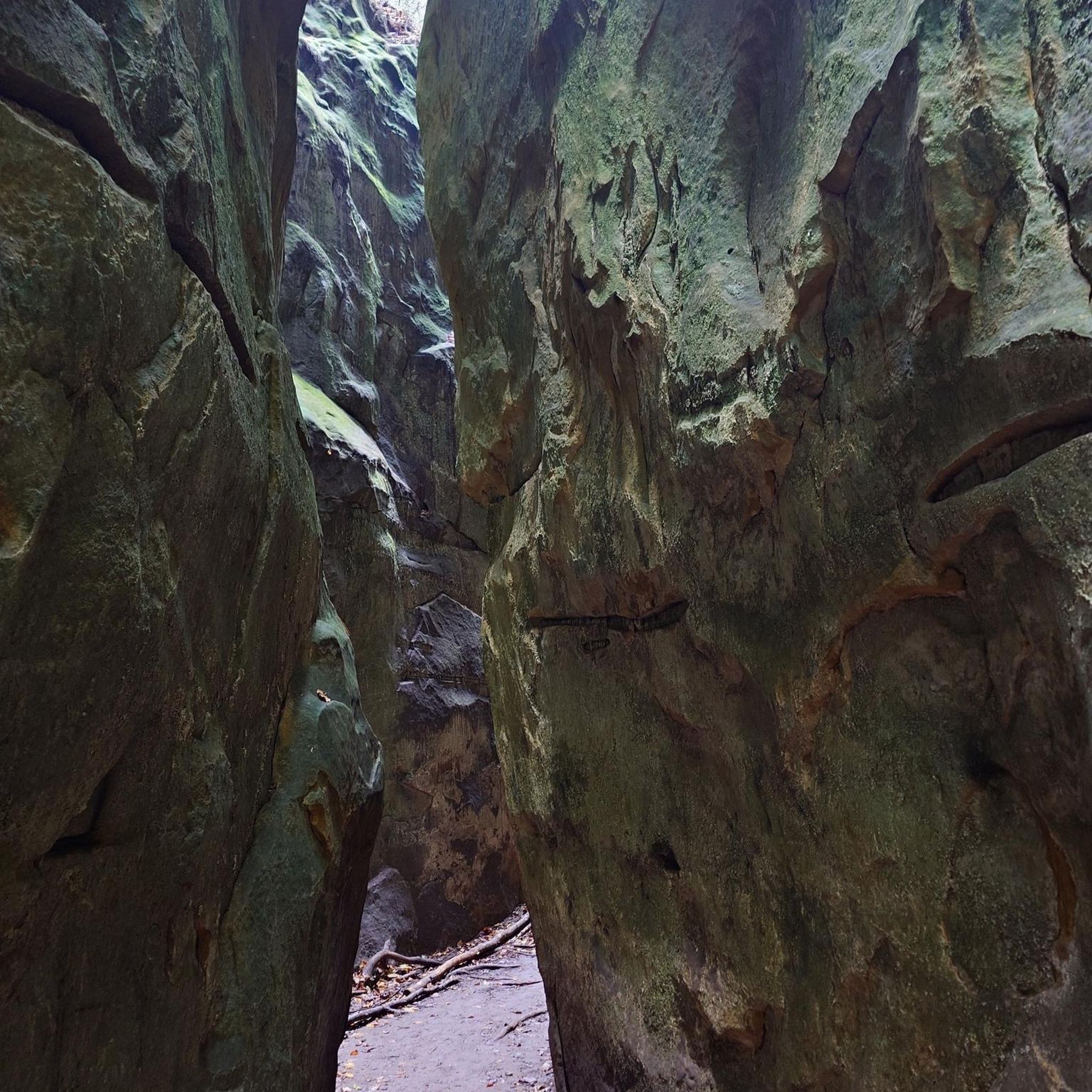
Three massive rocks rising on a bare hill near Praděd in Hrubé Jeseník have always attracted people's attention. In the past, they were most often looked upon with fear, and to find yourself near them meant almost certain accusations of witchcraft. In the 17th century, the cruel inquisitor Jindřich František Boblig from Edelstadt, known from the book Kladivo na charodějnice, designated it as the place of sabbath for all accused unfortunate women during inquisition trials.
5
0
Those who want to experience the Jeseníky Mountains in a different way have to get up early. Being on the ridges at four in the morning is almost too late for photography in the summer. But this applies to all mountains in the world
3
0
Frequently Asked Questions
How many running routes are available in Šerák-Keprník?
There are over 35 dedicated jogging routes in the Šerák-Keprník area, offering a wide range of options for runners. These include 15 moderate and 21 difficult trails, catering to various fitness levels.
What kind of terrain can I expect on the running trails in Šerák-Keprník?
The terrain in Šerák-Keprník is diverse, featuring an alpine landscape with elongated mountain ridges, diverse alpine meadows, and ancient fir forests. You'll encounter paths through fascinating geological formations like cryoplanation terraces and frost hollows. Some sections, particularly on higher elevations, may present challenging rocky terrain with significant elevation gain.
Are there any easy or beginner-friendly running routes in the area?
While Šerák-Keprník is known for its challenging mountain terrain, with 15 moderate and 21 difficult routes, there are no routes specifically classified as 'easy' in the provided data. Runners should be prepared for elevation changes and varying surfaces. It's recommended to check the difficulty and elevation profiles of individual routes before heading out.
What are some challenging running routes for experienced runners?
For experienced runners seeking a challenge, the region offers several demanding routes. The View from Kaperník – Keprník Summit loop from Ramzová is a difficult 16.1 km trail with significant elevation gain, offering panoramic views. Another demanding option is the Iwinka (1,079 m) – Dukt nad Spławami Forest Path loop from Ramzová, an 29.3 km path through ancient fir forests.
Are there any circular running routes in Šerák-Keprník?
Yes, many of the running routes in Šerák-Keprník are designed as loops, allowing you to start and finish at the same point. Examples include the Šerák Junction – Mračná hora [Ostružná] loop from Ramzová, a 11.5 km trail, and the Praděd statue loop from Červenohorské sedlo, which is 20.2 km long.
Are there any notable landmarks or viewpoints along the running paths?
Absolutely! The region is rich in natural beauty and landmarks. You can enjoy panoramic views from the summits of Keprník and Šerák (1351 m). Another significant sight is the Obří Skály Rock Formation and Viewpoint. The area also features unique geological formations and ancient fir forests.
What are the options for parking near the running trails?
While specific parking locations are not detailed in the route data, popular starting points for trails in the Šerák-Keprník area, such as Ramzová and Červenohorské sedlo, typically offer parking facilities for visitors accessing the mountain trails. It's advisable to check local information for current parking availability and fees before your visit.
How can I reach the trails using public transport?
Key access points like Ramzová and Červenohorské sedlo are generally well-connected by public transport, including bus services, which can bring you close to the trailheads. Šerák also serves as an upper lift station, suggesting cable car access from lower points, which could be an option for reaching higher trails. For detailed schedules, it's best to consult local transport providers.
What is the best time of year to go running in Šerák-Keprník?
The Šerák-Keprník region is suitable for outdoor activities across seasons. However, for running, late spring through early autumn (May to October) generally offers the most favorable conditions with milder weather and clear trails. Winter running is possible but requires appropriate gear due to snow and ice, and some trails may be less accessible. The region's alpine character means weather can change rapidly, so always check forecasts.
Are there places to rest or refuel along the running routes?
Yes, for convenience, Šerák hosts one of the oldest mountain chalets, Jiřího chata (also known as Jiřího Chalet on Šerák), which offers a place to rest and refuel. This is a great spot to take a break and enjoy the mountain atmosphere during your run.
What do other runners say about the trails in Šerák-Keprník?
The running routes in Šerák-Keprník are highly rated by the komoot community, with an average score of 4.0 stars. Over 300 runners have used komoot to explore the varied terrain, often praising the stunning views, authentic mountain atmosphere, and the opportunity to explore well-marked paths through a protected natural area.
Are there any specific natural features I should look out for while running?
Beyond the panoramic views from the peaks, keep an eye out for the fascinating geological formations that are remnants of the Ice Age, such as cryoplanation terraces, frost hollows, and thufurs. The reserve also features peat bogs and natural springs, like Dobra Voda, adding to the natural allure and biodiversity of the area.
Are permits required for running in the Šerák-Keprník National Nature Reserve?
Šerák-Keprník is a National Nature Reserve, established in 1903. While general access for hiking and running on marked trails is usually permitted, specific regulations may apply to protect its unique biodiversity and glacial landforms. It's always a good practice to check the official website of the nature reserve or local information centers for any specific permit requirements or seasonal restrictions before your visit. You can find more information about the reserve on ok-tourism.cz.
Most popular routes around Šerák-Keprník
Most popular attractions around Šerák-Keprník

Get inspired with the komoot mobile app


Explore more
Browse the best Running Trails & Routes in other regions.
