The best mountain hikes around Šerák-Keprník
4.7
(9)
48
hikers
5
hikes
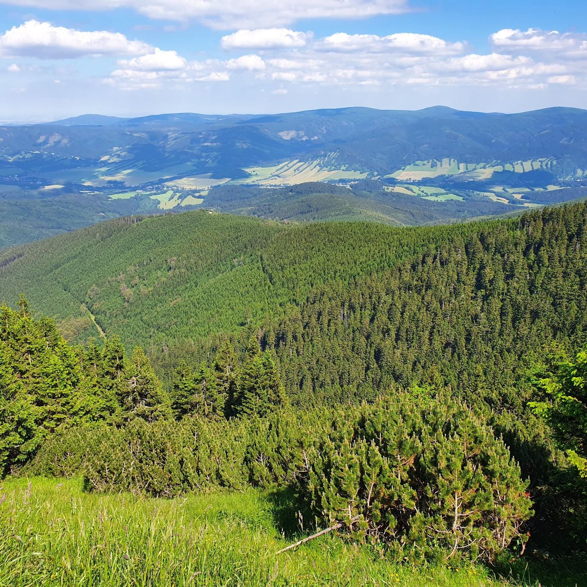
Mountaineering routes around Šerák-Keprník, located in the Jeseníky Mountains, traverse diverse landscapes characterized by alpine terrain and extensive ridgeline trails. The region features deep forests transitioning into rocky alpine zones, with peaks like Keprník (1423 meters) and Šerák (1351 meters) offering expansive views. Unique geological formations such as cryoplanation terraces, frost hollows, and the picturesque Obří skály (Giant Rocks) are notable features along these routes. This area, recognized as the oldest National Nature Reserve in Moravia, provides a robust network…
Last updated: May 23, 2026
4.7
(6)
26
hikers
13.0km
04:54
640m
640m
Moderate mountaineering route. Good fitness required. Mostly accessible paths. Sure-footedness required.
4.5
(2)
9
hikers
18.6km
05:37
600m
600m
Hard mountaineering route. Very good fitness required. Easily-accessible paths. Suitable for all skill levels.

Sign up for free
5.0
(1)
8
hikers
14.5km
04:34
580m
580m
Moderate mountaineering route. Good fitness required. Easily-accessible paths. Suitable for all skill levels.
3
hikers
20.4km
07:23
890m
890m
Hard mountaineering route. Very good fitness required. Sure-footedness, sturdy shoes and alpine experience required.
2
hikers
5.08km
01:37
200m
210m
Easy mountaineering route. Great for any fitness level. Easily-accessible paths. Suitable for all skill levels.
Our route recommendations are based on thousands of hikes, rides, and runs completed by other people on komoot.
Start today with a free account
Your next adventure awaits.
Login or Signup
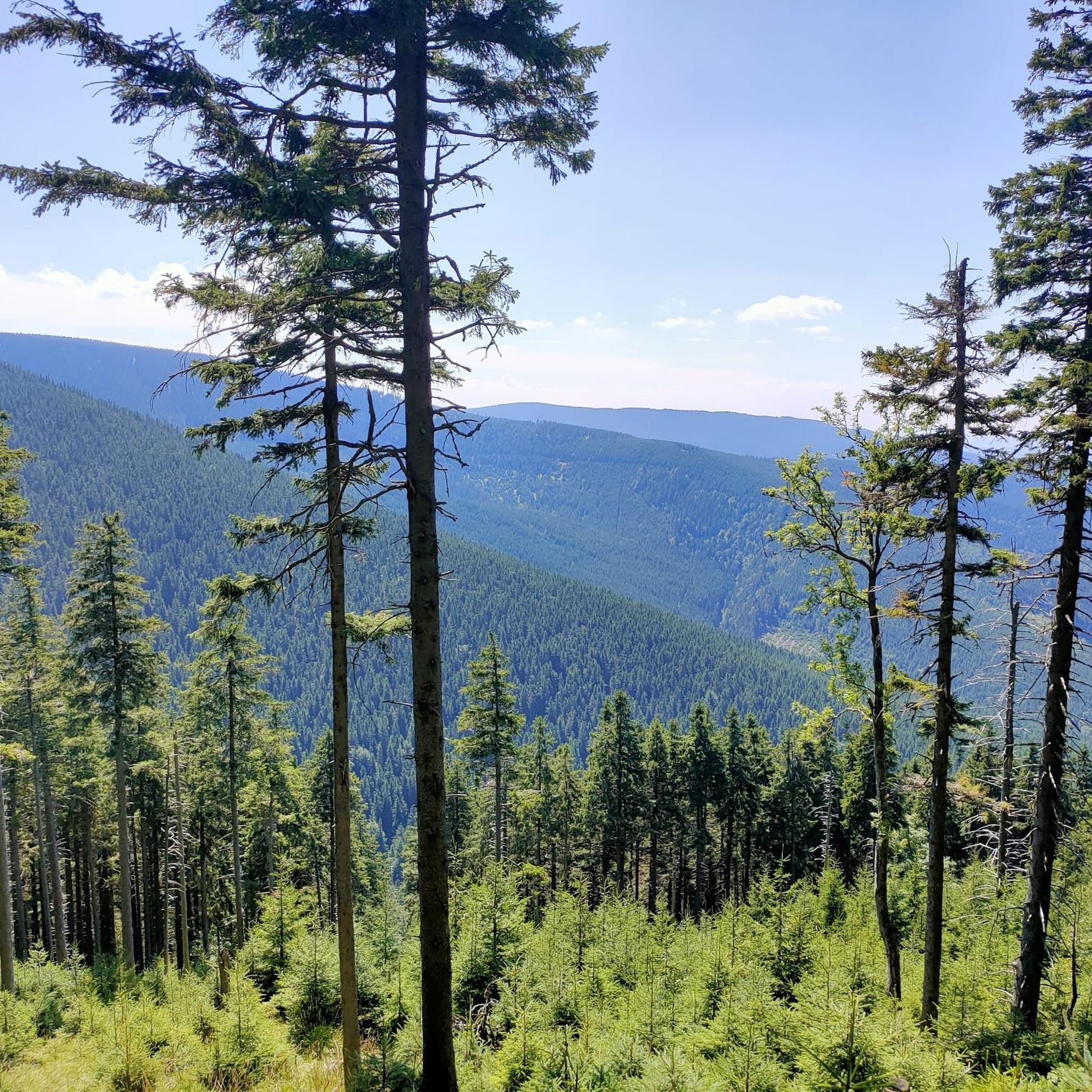
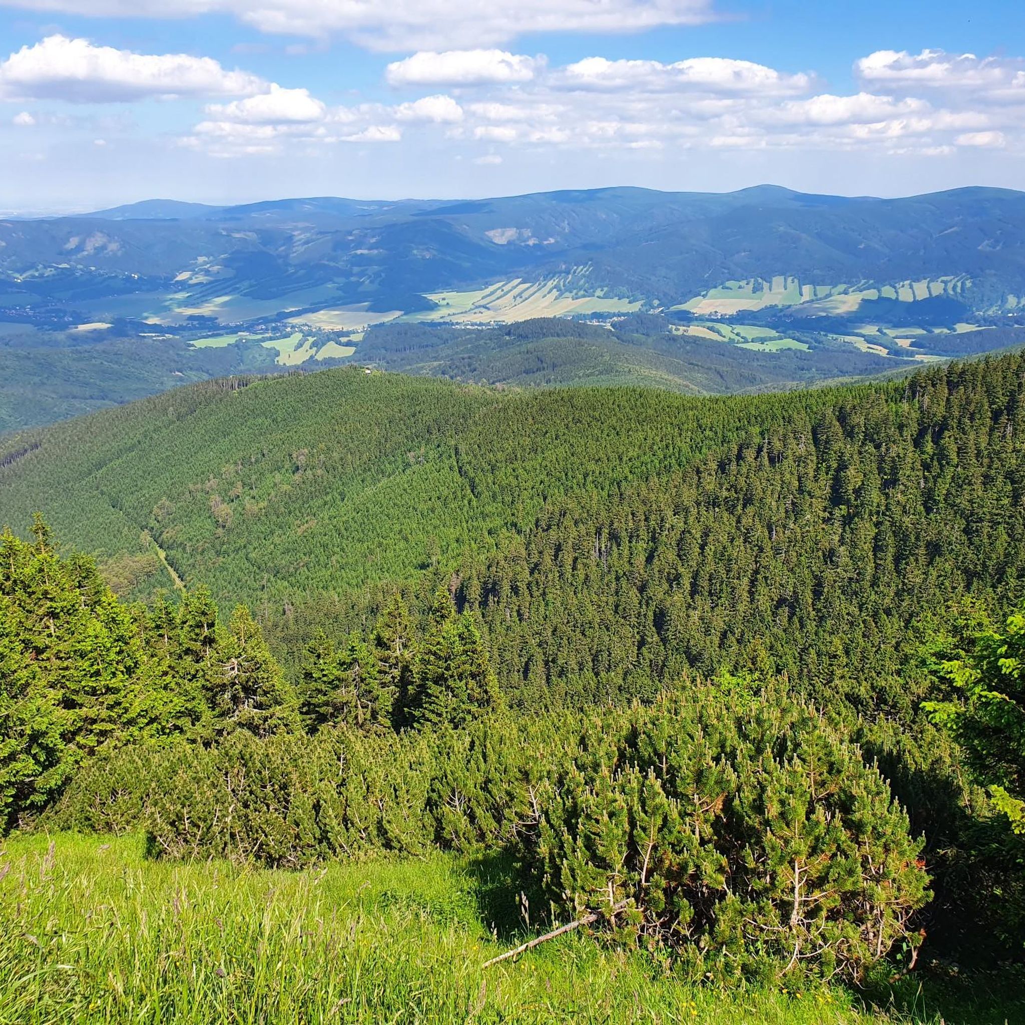
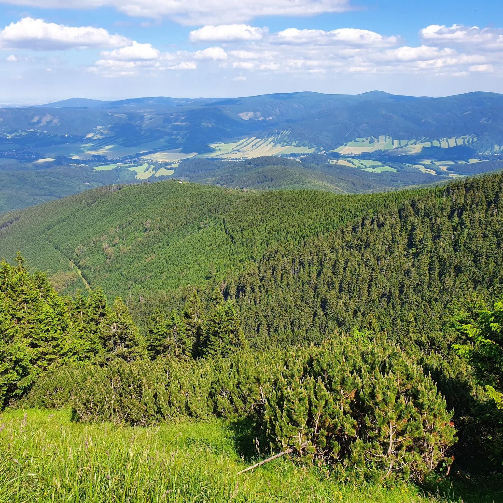
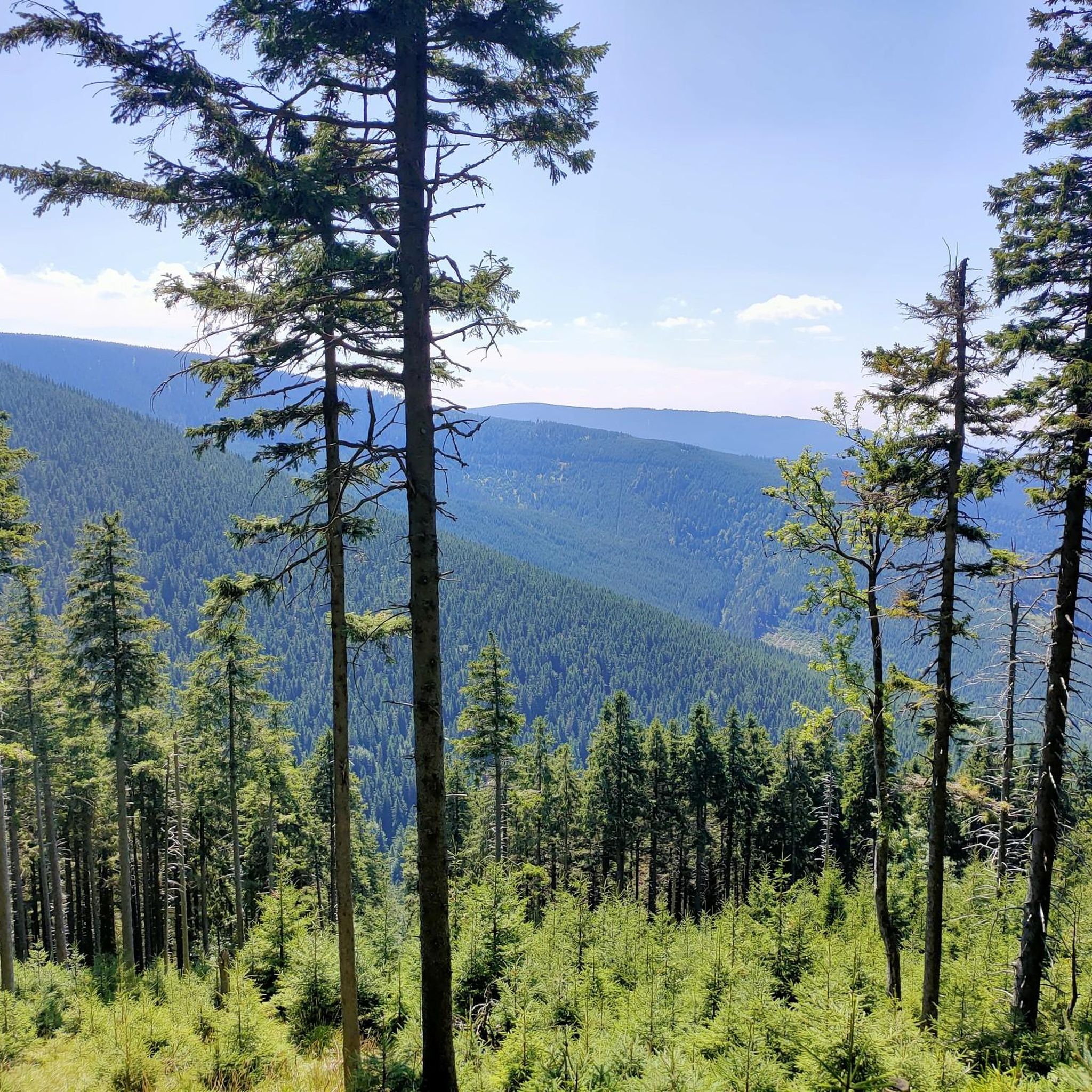
Tips from the Community

Nothing here is left to cyclists; people hike here, or maybe even the old man rides up here on his bike. 🤣🇨🇿👌😎🗼🌪
7
0
Here you can get your hair done, beautiful cliff with a panoramic guarantee.🌪
7
0
There's a hut stamp here, too; the view is indescribable. Be careful, the cup deposit is too high. 🤭
8
0
There's always a lot going on here. The beer is delicious, as always, and the panorama is fantastic.
6
0

The Paprsek Mountain Hut is a popular destination in the Czech Republic's Bialskie Mountains, right on the border with Poland. Situated at an altitude of 1,007 meters above sea level, on a vast mountain meadow, it offers beautiful views and excellent conditions for hiking and cycling. The building's history dates back to 1932, and it retains its characteristic Alpine style with its wooden structure. The hut features a restaurant, a terrace, and 42 beds, as well as bicycle storage and a drying room. Marked hiking and cycling trails lead to Paprsek, and in winter, a ski lift operates here, making it a good base for year-round excursions.
1
0

You can't buy happiness, but you can buy kofola, blueberry dumplings and beer at the shelter - and that's almost the same thing😎
0
0

Not suitable for racing bikes
0
0

TIP: The following book describes the hikes in the Adršpach-Teplice Rock City, Braunau Country, Eagle Mountains & Jeseníky Mountains and the entire region in detail: Adršpach-Teplice Rock City - Eagle Mountains & Jeseníky Mountains A travel guide for Bohemia & Moravia with travel & hiking sections for: Adršpach-Teplice Rock City & Braunau Walls, Stoře Mountains National Park - with the Wild Holes (Błędne Skały), Eagle Mountains, Jeseníky Mountains with the Kłodzko Sněžník Mountain and with 43 hikes from Trutnov on the edge of the Giant Mountains to Ostrava in Moravian Silesia and from Olomouc to Hradec Králové & Pardubice ISBN: 978-3-9816577-3-9 Information about the book & possibility to Order: www.reise-karhu.de/reisebuecher/adersbacher-felsen-adlergebirge.html
1
0
Frequently Asked Questions
What kind of terrain can I expect on mountaineering routes around Šerák-Keprník?
The terrain around Šerák-Keprník is quite diverse, featuring deep forests that transition into rocky alpine zones. You'll encounter extensive ridgeline trails offering open mountain vistas, as well as unique geological formations like cryoplanation terraces and the picturesque Obří skály (Giant Rocks). Peaks such as Keprník (1423 meters) and Šerák (1351 meters) provide significant ascents and panoramic views.
Are there any easy or family-friendly mountaineering routes in the Šerák-Keprník area?
Yes, there is at least one easy mountaineering route suitable for families or those seeking a less strenuous experience. For instance, the Paprsek Mountain Hut loop from Postawna is an easy 3.1-mile (5.0 km) trail with a moderate elevation gain, offering a pleasant walk. The region generally offers options for various ability levels.
What notable landmarks or viewpoints can I discover along the routes?
The area is rich with natural landmarks and stunning viewpoints. You can visit the Keprník Summit and Šerák (1351 m) for breathtaking panoramic views of the Jeseníky Mountains. The picturesque Obří Skály Rock Formation and Viewpoint is another significant geological feature to explore.
Are dogs allowed on the mountaineering trails in Šerák-Keprník?
While the Jeseníky Mountains are generally dog-friendly, Šerák-Keprník is recognized as the oldest National Nature Reserve in Moravia. It's always best to check local signage and specific regulations for nature reserves regarding dogs, especially concerning leash requirements and restricted areas, to ensure the protection of the diverse flora and fauna.
How many mountaineering routes are available in this guide?
This guide features 5 distinct mountaineering routes around Šerák-Keprník, ranging from easy to difficult. These routes provide varied experiences across the region's diverse landscapes.
What do other mountaineers enjoy most about the Šerák-Keprník area?
The area is highly rated by the komoot community, with an average score of 4.7 stars from over 9 reviews. Mountaineers often praise the expansive views from peaks like Šerák and Keprník, the well-developed trail system, and the unique transition from deep forests to rocky alpine zones. The clean air and preserved natural beauty are also frequently highlighted.
Are there any circular mountaineering routes available?
Yes, several routes are designed as loops. For example, the Šerák (1351 m) – Jiřího Chalet on Šerák loop from Ramzová is a popular circular route. Another option is the Stone Eye Rock Formation – Keprník Summit loop from Červenohorské sedlo, which takes you through unique geological formations and to the summit.
What are the public transport options to reach the trailheads?
Ramzová, a common starting point for many hikes, is accessible by bus from Jeseník or by regional train. From Ramzová, you can even take a chairlift to shorten the initial climb to Šerák, enhancing accessibility to the higher elevations.
Where can I find food or refreshments along the trails?
A popular spot for hikers to rest and refuel is the Jiřího Chalet on Šerák. This mountain restaurant is conveniently located near the Šerák peak and offers warm food and refreshments with views of the valley.
What is the best time of year for mountaineering in Šerák-Keprník?
The Jeseníky Mountains offer ideal conditions for active relaxation in all seasons. While summer and autumn provide pleasant weather for hiking and clear panoramic views, the region is also suitable for winter activities like snowshoeing. Always check current weather conditions, especially for higher elevations, as they can change rapidly.
Are there any challenging routes for experienced mountaineers?
Absolutely. For those seeking a more demanding experience, the Praděd statue – Praděd Peak loop from Červenohorské sedlo is a difficult 12.0-mile (19.4 km) path traversing challenging terrain towards Praděd Peak. Another difficult option is the Praděd Peak – Švýcárna Bell Tower loop from Kouty nad Desnou, which features significant elevation gain.
Most popular routes around Šerák-Keprník
Most popular attractions around Šerák-Keprník

Get inspired with the komoot mobile app


