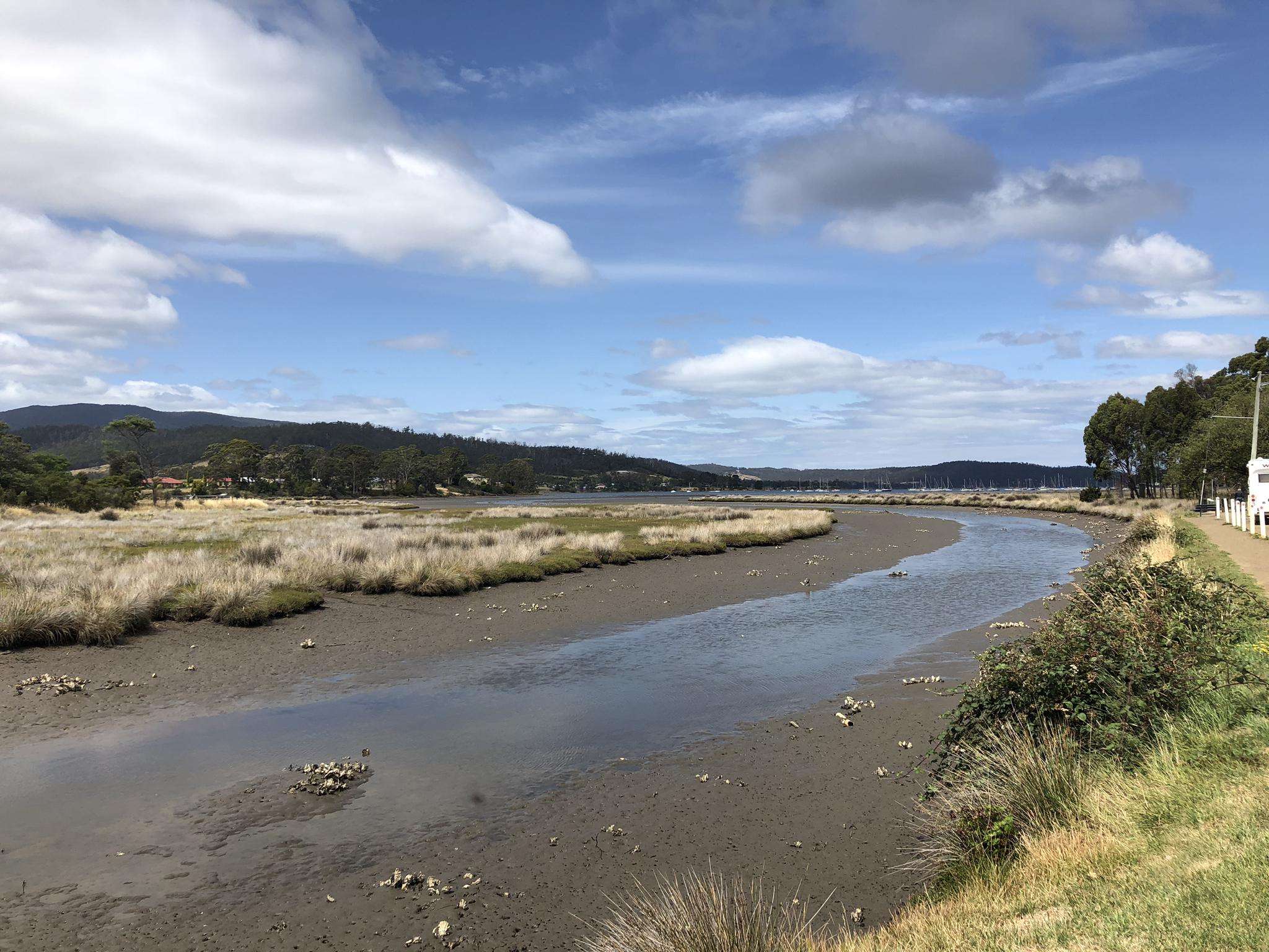
The best running trails in Snug Tiers Nature Recreation Area
12
runners
3
runs
Jogging routes in Snug Tiers Nature Recreation Area traverse diverse landscapes, including eucalyptus forests and sections of rainforest. The terrain offers a mix of bush tracks and gravel roads, with some routes featuring moderate elevation changes. This region provides varied running experiences, from relatively flat paths to trails with noticeable climbs.
Best jogging routes in Snug Tiers Nature Recreation Area
- The most popular jogging route is Running loop from Margate, a 2.3 miles (3.7 km) trail that takes 22…
Last updated: June 29, 2026
6
runners
3.66km
00:23
10m
10m
Easy run. Great for any fitness level. Mostly paved surfaces. Suitable for all skill levels.
2
runners
7.42km
00:49
90m
90m
Moderate run. Good fitness required. Mostly paved surfaces. Suitable for all skill levels.

Sign up for free
4
runners
4.99km
00:34
90m
90m
Easy run. Great for any fitness level. Mostly paved surfaces. Suitable for all skill levels.
Our route recommendations are based on thousands of hikes, rides, and runs completed by other people on komoot.
Start today with a free account
Your next adventure awaits.
Login or Signup
Popular around Snug Tiers Nature Recreation Area
Frequently Asked Questions
How many running routes are available in Snug Tiers Nature Recreation Area?
There are currently 3 dedicated running routes available in the Snug Tiers Nature Recreation Area, ranging from easy loops to moderate trails with some elevation.
What kind of terrain can I expect on the jogging trails in Snug Tiers?
The jogging trails in Snug Tiers Nature Recreation Area feature diverse terrain, including bush tracks, gravel roads, and forest paths. You'll encounter eucalyptus forests, sections of rainforest, and some routes include gentle hills and moderate elevation changes, offering varied running experiences.
Are there any easy running routes suitable for beginners or a relaxed jog?
Yes, there are easy running routes perfect for beginners or a relaxed jog. For instance, the Running loop from Margate is an easy 3.7 km trail with minimal elevation gain. Another great option is the Peter Murrell State Reserve loop from Howden, which is 5.0 km through natural bushland.
Are there any waterfalls I can see near or along the running routes?
While not directly on the listed running routes, the Snug Tiers area is renowned for its impressive waterfalls. Pelverata Falls, one of Tasmania's tallest, and Snug Falls, accessible via a 2.1 km track through lush bush, are notable natural features nearby that you might explore separately.
What is the most challenging running route in the area?
Among the currently listed routes, the Heron Pond loop from Howden is considered moderate. This 7.4 km path includes some elevation, offering a more challenging run through varied scenery compared to the easier loops.
Are the running trails in Snug Tiers Nature Recreation Area suitable for families?
Many of the trails, especially the easier ones like the Running loop from Margate, are suitable for families looking for a gentle jog or walk. The varied terrain and natural surroundings make for an enjoyable outdoor experience for all ages.
Can I bring my dog on the running trails in Snug Tiers?
The Snug Tiers Nature Recreation Area generally welcomes dogs, but it's always best to check specific trail regulations with the Tasmania Parks and Wildlife Service, as rules can vary. Always keep your dog on a leash and clean up after them to protect the local wildlife and environment.
What kind of wildlife might I encounter while running in Snug Tiers?
The diverse natural environment of Snug Tiers offers opportunities to spot local wildlife. Encounters with animals such as platypus, echidnas, and freshwater eels have been reported, particularly along tracks like the one leading to Snug Falls.
Are there any circular running routes available?
Yes, all the listed running routes in this guide are circular. You can enjoy loops such as the Running loop from Margate, the Heron Pond loop from Howden, and the Peter Murrell State Reserve loop from Howden, allowing you to start and finish at the same point.
What do other runners say about jogging in Snug Tiers Nature Recreation Area?
The Snug Tiers Nature Recreation Area is appreciated by the komoot community, with over 10 runners having explored its varied terrain. Users often highlight the diverse bush tracks, forest paths, and the opportunity to experience nature, making it a great destination for outdoor activities.
Are there any scenic viewpoints or landmarks along the running trails?
While specific viewpoints are not detailed for every running route, the region is known for features like Grey Mountain, which offers scenic views from its summit. Some tracks lead to elevated areas providing vistas over the Woodbridge region, adding a scenic element to your run.
What is the best time of year to go running in Snug Tiers?
Snug Tiers Nature Recreation Area offers running opportunities year-round. However, after rain, some tracks, particularly those leading to waterfalls like Pelverata Falls and Snug Falls, can become muddy and slippery. Always check local conditions before heading out, especially during wetter seasons.
Most popular routes in Snug Tiers Nature Recreation Area

Get inspired with the komoot mobile app


Explore more
Browse the best Running Trails & Routes in other regions.
