The best cycling routes in Snug Tiers Nature Recreation Area
5.0
(6)
193
riders
9
rides
Touring cycling in Snug Tiers Nature Recreation Area offers routes through diverse landscapes, including bush tracks and gravel roads. The area features significant elevation changes, with trails winding through eucalypt forests and dense rainforest. Notable natural features include the 114-meter Pelverata Falls and Grey Mountain, providing scenic viewpoints. The terrain can be challenging, with some sections being rough, rocky, and potentially muddy.
Best touring cycling routes in Snug Tiers Nature Recreation Area
- The most popular touring cycling route is Cygnet…
Last updated: July 5, 2026
10
riders
76.4km
05:07
1,060m
1,060m
Hard bike ride. Very good fitness required. Mostly paved surfaces. Suitable for all skill levels.
26
riders
42.1km
02:52
360m
360m
Moderate bike ride. Good fitness required. Mostly paved surfaces. Suitable for all skill levels.

Sign up for free
5.0
(1)
63
riders
54.0km
03:29
720m
720m
Hard bike ride. Very good fitness required. Mostly paved surfaces. Suitable for all skill levels.
5.0
(1)
17
riders
34.5km
02:22
600m
600m
Hard bike ride. Very good fitness required. Mostly paved surfaces. Suitable for all skill levels.
5.0
(1)
13
riders
78.1km
04:41
690m
690m
Hard bike ride. Very good fitness required. Mostly paved surfaces. Suitable for all skill levels.
Get access to more routes and recommendations from other explorers.
Sign up for free
Already have an account?
Our route recommendations are based on thousands of hikes, rides, and runs completed by other people on komoot.
Start today with a free account
Your next adventure awaits.
Login or Signup
Popular around Snug Tiers Nature Recreation Area
Tips from the Community

The Shot Tower Historic Site is one of the tallest buildings in Tasmania, a circular sandstone tower standing 58 metres high that was once used for producing lead shot. Today, anyone can ascend the 259 steps to the top for amazing views over the River Derwent and Hobart. There is also a café, tearoom, parking and toilets on site. It's free to climb the tower from 10:00 am to 5:00 pm.
0
0

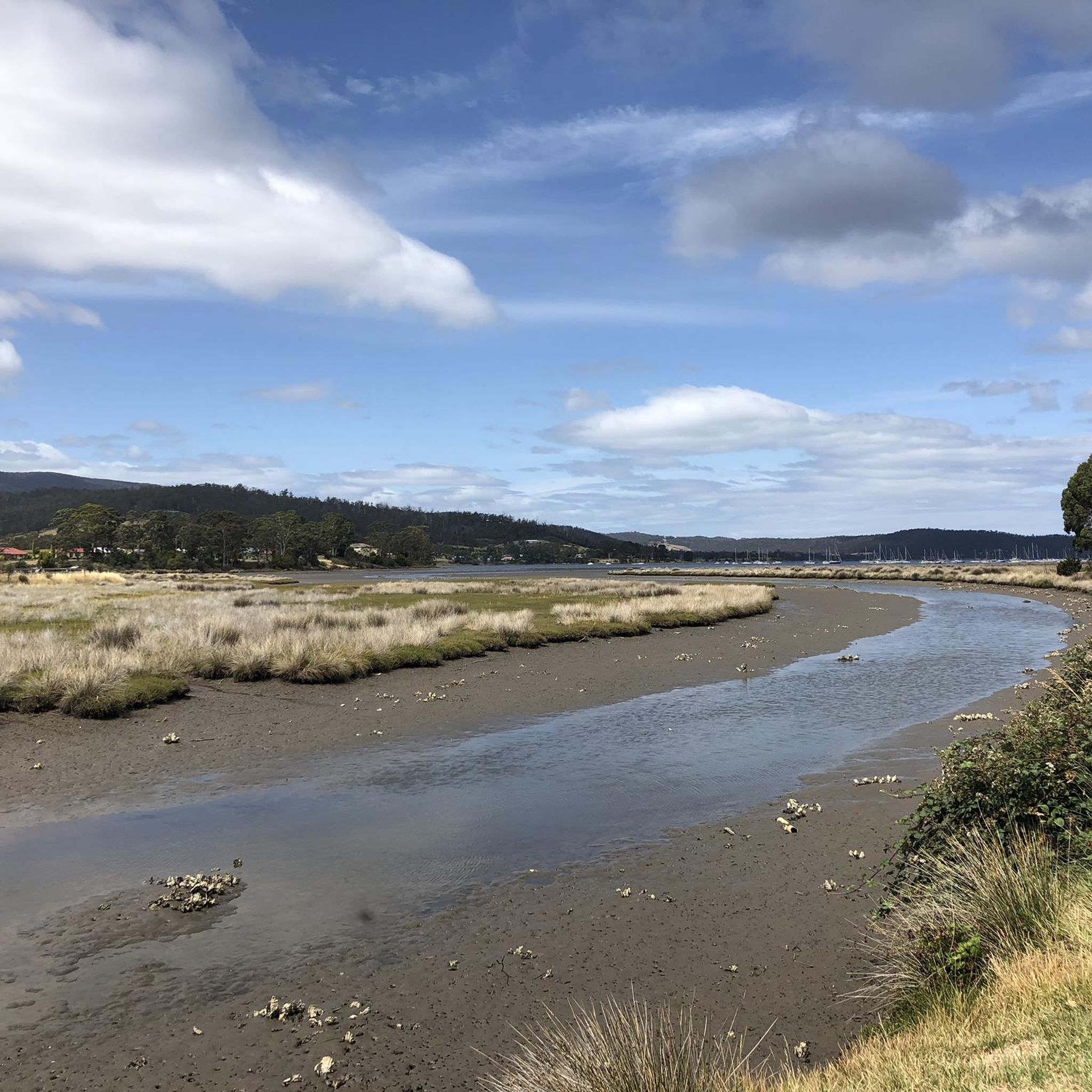
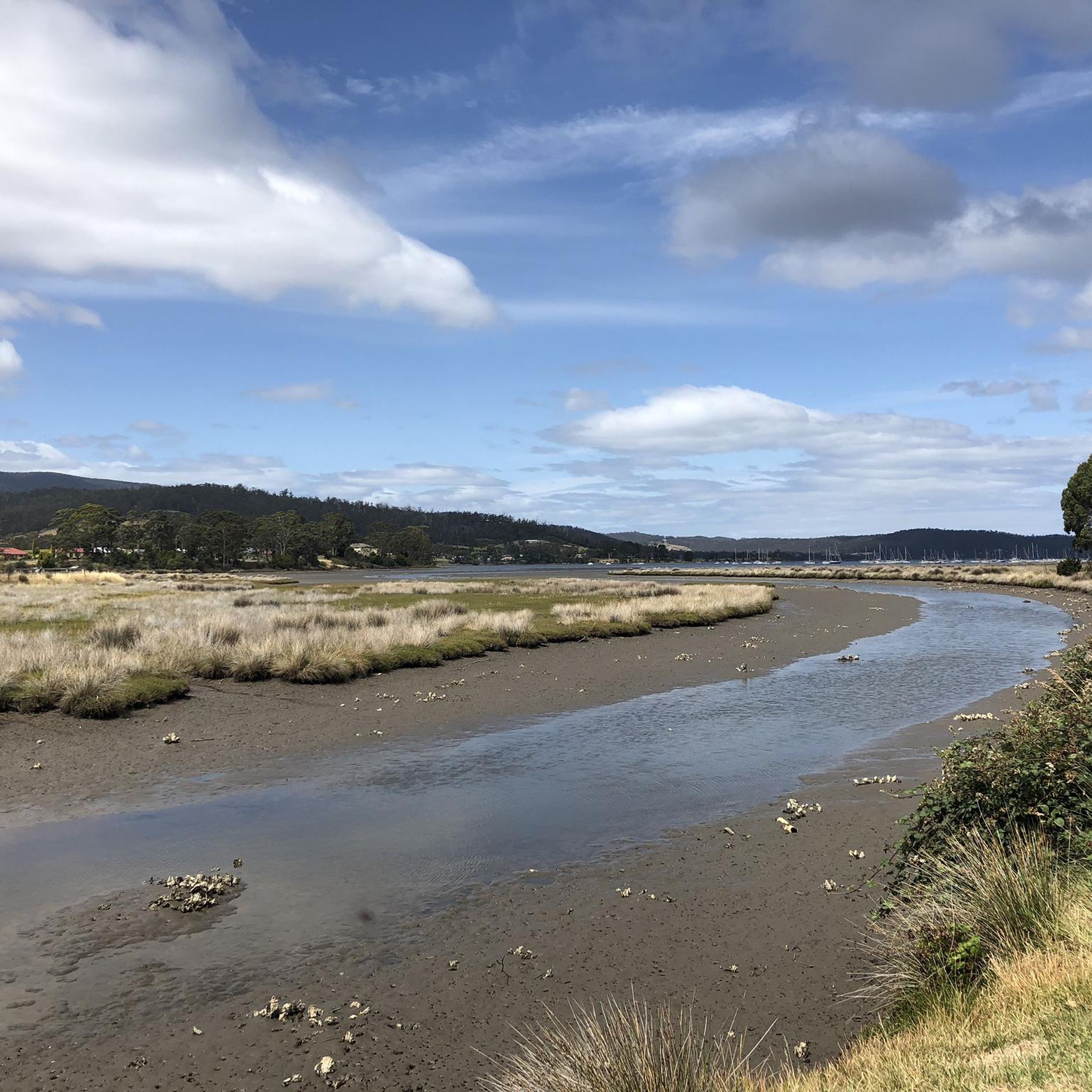
Derwent River is a large estuary flowing from inland Tasmania into Storm Bay, forming the main waterway through Hobart. The river is tidal in its lower sections, with a mix of freshwater and seawater shaping its flow and conditions. It’s used for shipping, recreation, and transport, with wide stretches of open water and long sightlines across to the surrounding shoreline.
0
0
Running along the Derwent River in Hobart, the Intercity Cycleway is a shared path linking the city with northern suburbs. The route follows a mostly flat, sealed surface with long stretches beside the river and sections set slightly inland. It’s used by cyclists, walkers, and runners, with open views across the water in parts and more enclosed sections through urban corridors.
0
0

This beach forms part of the Errol Flynn Reserve, named after the "Golden Age of Holloywood" actor who was born and raised in Battery Point. It is said that the actor first pursued sailing and other nautical adventures here, skills that would go on to inspire his daring lifestyle both on and off screen.
0
0

Ryan was super helpful. Easy to book online. The gravel bike was an awesome bike. located a short walk from the dock. https://www.hobartbikehire.com.au/
0
0

the actor Errol Flynn was born in Sandy Bay
0
0

Hotel where famed arctic explorer Roald Amundsen stayed when he returned to Hobart. Also frequented by Errol Flynn.
0
0
In 2003, the city council of Hobart, Tasmania, named a small park in the city’s affluent Sandy Bay suburb Errol Flynn Reserve, laying claim to the nautical landscape that likely influenced Flynn’s seafaring endeavors and iconic roles. The Battery Point Sculpture Trail cuts through the reserve; the bold, white-painted steel numerals 1909 adorn the green space, a tribute to both Flynn’s birth year and the famous Hollywood sign.
0
0
Frequently Asked Questions
How many touring cycling routes are available in Snug Tiers Nature Recreation Area?
There are 9 touring cycling routes documented on komoot for Snug Tiers Nature Recreation Area. These routes offer a range of experiences, from easy to difficult, catering to various skill levels.
What kind of terrain can I expect on touring cycling routes in Snug Tiers Nature Recreation Area?
The touring cycling routes in Snug Tiers Nature Recreation Area feature diverse terrain, including bush tracks and gravel roads. Cyclists should be prepared for sections that can be rough, rocky, and potentially muddy, particularly at higher altitudes. You will also encounter significant elevation changes, with routes winding through eucalypt forests and dense rainforest.
Are there any challenging touring cycling routes in the area?
Yes, Snug Tiers Nature Recreation Area is known for its challenging routes. For instance, the Cygnet Town Centre – Commercial Hotel Cygnet loop from Kettering is a difficult 76.5 km trail with over 1000 meters of elevation gain. Another difficult option is the Cygnet Loop Lakeside View – Cygnet Town Centre loop from Cradoc, covering 43.8 km with significant climbs.
What natural features or landmarks can I see while cycling in Snug Tiers Nature Recreation Area?
The area boasts several notable natural features. You can explore trails that lead to the impressive Pelverata Falls, which plunges 114 meters, or ascend Grey Mountain for scenic viewpoints. Routes often meander through thick eucalypt forests and dense rainforest, providing an immersive natural experience. From elevated positions, views of the Woodbridge area are also possible.
Are there any moderate touring cycling routes suitable for a less intense ride?
Yes, there are moderate options available. The Cygnet Town Centre – Slab Road Climb loop from Cygnet is a popular moderate route, spanning 42.1 km with manageable climbs and descents, offering pleasant views of the surrounding natural environment.
What do other touring cyclists say about their experience in Snug Tiers Nature Recreation Area?
The touring cycling routes in Snug Tiers Nature Recreation Area are highly rated by the komoot community, with an average score of 5.0 stars from over 4 reviews. Cyclists often praise the challenging climbs, diverse landscapes, and the immersive experience of riding through eucalypt forests and rainforests.
Are there any loop routes for touring cyclists in Snug Tiers Nature Recreation Area?
Yes, many of the touring cycling routes in the area are designed as loops, allowing you to start and finish at the same point. Examples include the Bury Me Standing (Closed) – Hobart Bike Hire loop from Barretta and the Coal Point Conservation Area loop from Kettering, both offering extensive circular rides through varied landscapes.
Is Snug Tiers Nature Recreation Area suitable for family touring cycling?
While the area is known for its challenging terrain and significant elevation changes, which might be demanding for younger children or less experienced family members, there is one easy route available. It's advisable to check the difficulty grade and elevation profiles of specific routes to ensure they match your family's cycling abilities.
Can I bring my dog on the touring cycling trails in Snug Tiers Nature Recreation Area?
Pelverata Falls, a significant attraction in the recreation area, is accessible via a 6km return walk that is dog-friendly. For specific touring cycling trails, it's always best to check local regulations and signage, as rules can vary. Generally, dogs should be kept on a leash to protect wildlife and ensure the safety of other trail users.
What is the best time of year to go touring cycling in Snug Tiers Nature Recreation Area?
The diverse terrain, including higher altitudes, means weather conditions can vary. While specific best times aren't noted, be prepared for potentially biting winds and the need for wet weather gear, especially at higher elevations. It's always wise to check the forecast before heading out, as some sections can become muddy after heavy rain.
Is phone reception reliable throughout the Snug Tiers Nature Recreation Area?
It's important to be aware that phone reception may be unreliable in some areas within Snug Tiers Nature Recreation Area, particularly in more remote or densely forested sections. It's advisable to download offline maps and inform someone of your route and expected return time before you set off.
Are there any cafes or places to eat near the touring cycling routes?
The provided data does not specify cafes or pubs directly within the Snug Tiers Nature Recreation Area. However, given the proximity of routes to towns like Cygnet and Kettering, you are likely to find amenities and places to eat in these nearby communities.
Most popular routes in Snug Tiers Nature Recreation Area

Get inspired with the komoot mobile app


Explore more
Browse the best Cycling routes in other regions.
