The best road cycling routes in Nairn Falls Provincial Park
76
riders
3
rides
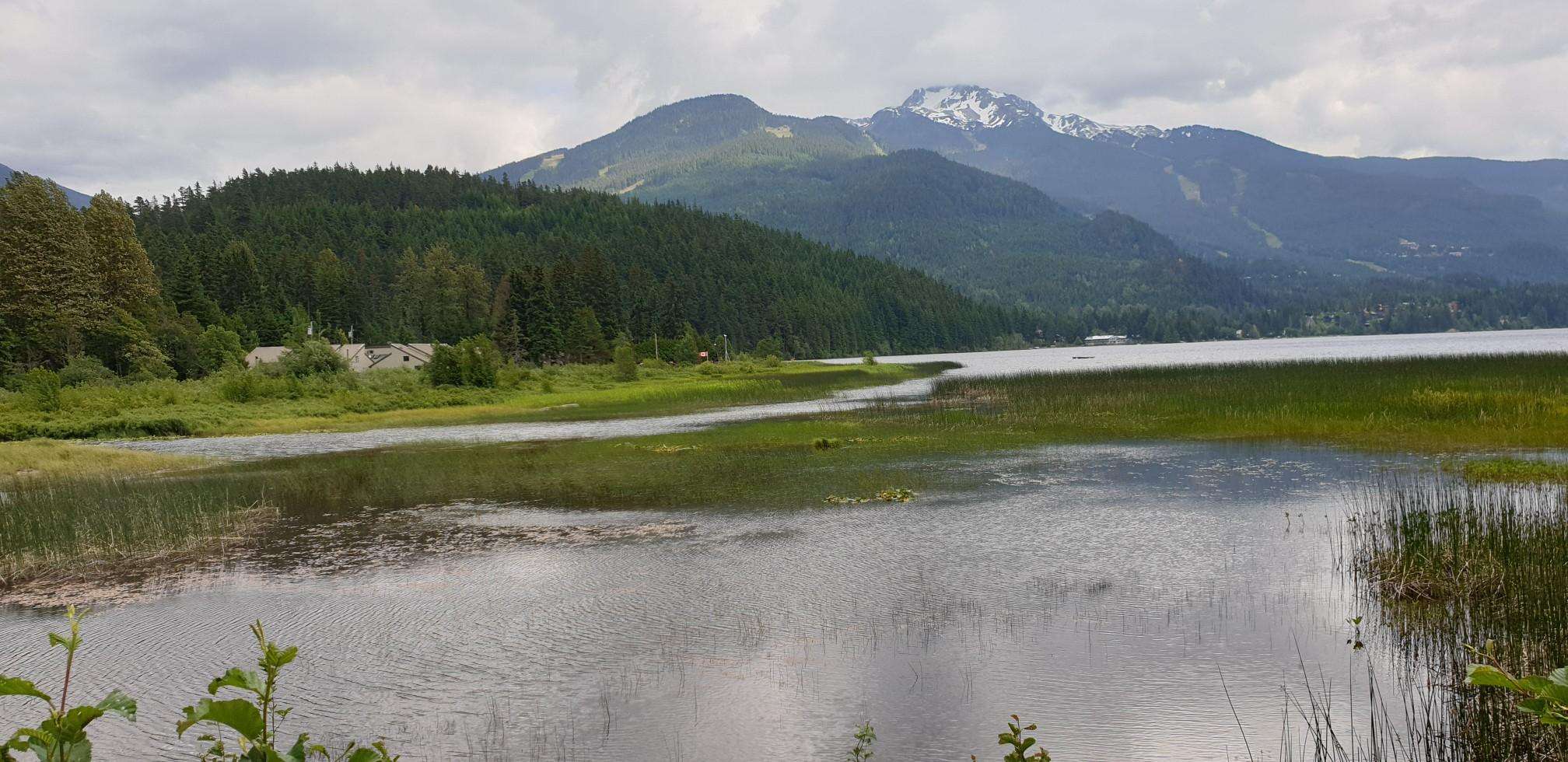
Road cycling routes in Nairn Falls Provincial Park are situated in a region characterized by the powerful Green River, lush mixed forests, and views of the surrounding mountains, including Mount Currie. The area features a network of roads and trails, offering diverse terrain from relatively flat sections along river valleys to routes with significant elevation changes. The landscape transitions from dense woodlands to open agricultural areas in the Pemberton Valley, providing varied cycling experiences.
Best road cycling routes in Nairn…
Last updated: July 1, 2026
11
riders
18.2km
00:43
50m
50m
Easy road ride. Great for any fitness level. Mostly well-paved surfaces and easy to ride.
Get access to more routes and recommendations from other explorers.
Sign up for free
Already have an account?
Our route recommendations are based on thousands of hikes, rides, and runs completed by other people on komoot.
Start today with a free account
Your next adventure awaits.
Login or Signup

Other adventures in Nairn Falls Provincial Park

Frequently Asked Questions
What kind of terrain can I expect on road cycling routes in Nairn Falls Provincial Park?
The region offers diverse terrain, from relatively flat sections along the Green River valley to routes with significant elevation changes. You'll encounter lush mixed forests, open agricultural areas in the Pemberton Valley, and views of Mount Currie. Some routes are mostly paved, while others may incorporate segments of the Sea to Sky Trail which can have mixed surfaces.
Are there any easy road cycling routes suitable for beginners or families near Nairn Falls Provincial Park?
Yes, there are options for easier rides. The Ryan River loop from Pemberton Station is an easy, mostly paved 18.2 km route suitable for all skill levels. Additionally, the gravel roads within Nairn Falls Provincial Park around the campground are relatively flat and suitable for casual rides, including for children. The Pemberton Meadows Loop, starting from Pemberton, is also an easy 50 km loop with minimal vehicle traffic, ideal for various fitness levels.
What are some scenic viewpoints or natural features I can see while road cycling in the area?
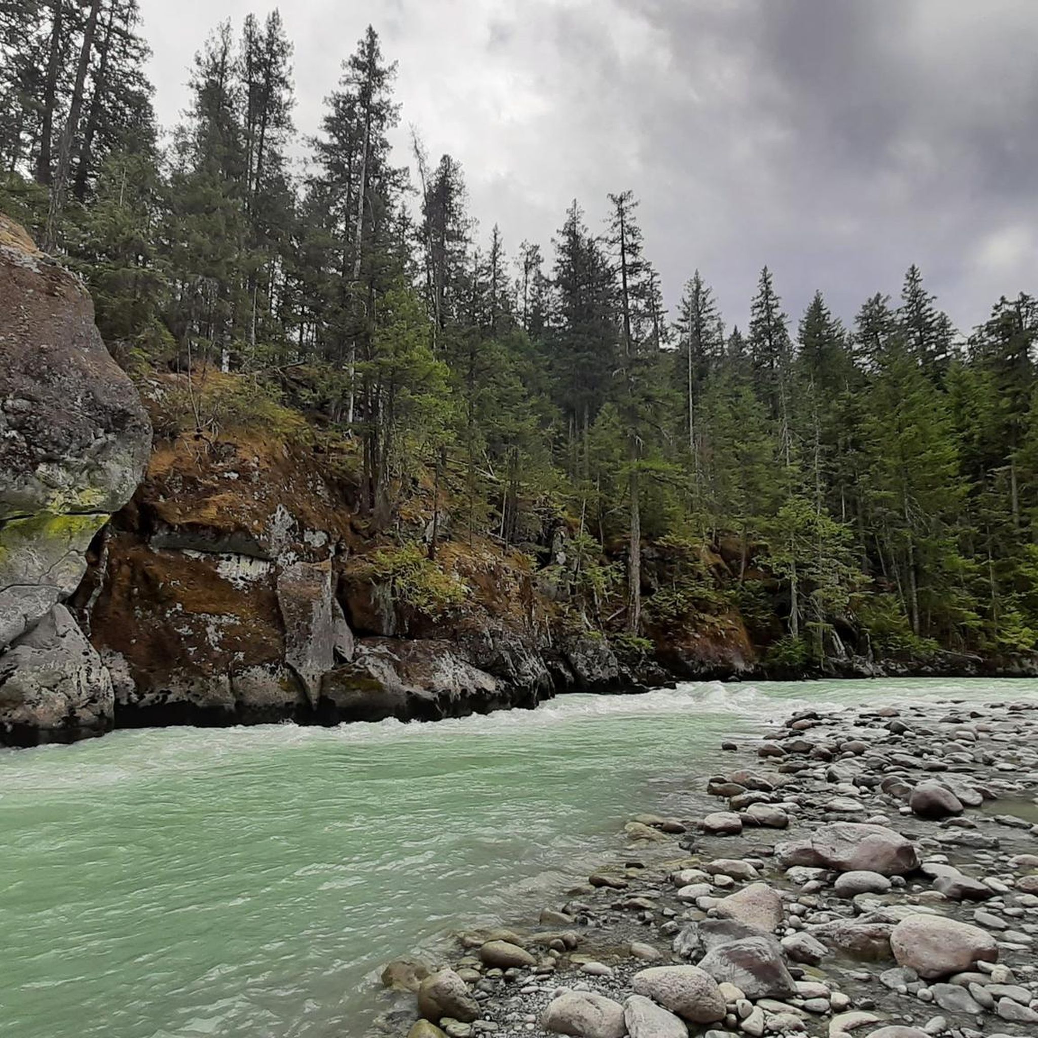
While cycling, you'll enjoy picturesque views of local farms and Mount Currie, especially on routes like the Soo River – Green Lake loop from Pemberton. The powerful Green River carves through the landscape, and the surrounding area features lush mixed forests of western hemlock, western redcedar, and coastal Douglas fir. Although the direct trail to Nairn Falls is for hikers, the park's roadways offer access to the natural beauty of the area. You can also explore highlights like the Nairn Falls and the Green River itself.
Where can I park my car when going for a road bike ride in Nairn Falls Provincial Park?
Parking is available at various points. Within Nairn Falls Provincial Park, you can find parking at the Nairn Falls Trailhead Parking. If starting a regional route from Pemberton, there are usually public parking options in the town itself.
What is the best time of year for road cycling in Nairn Falls Provincial Park?
The region is generally best for cycling during the warmer months, typically from spring through fall, when the weather is mild and roads are clear of snow. This allows for comfortable riding conditions and full access to the park's natural beauty.
Are there any challenging road cycling routes with significant elevation gain?
Yes, for more experienced cyclists seeking a challenge, routes like the Green Lake docks loop from Pemberton offer significant elevation gain, often taking around 4 hours and 38 minutes to complete its 95.7 km. The Nimby loop from Pemberton is another harder ride with substantial elevation gain, potentially requiring cyclists to push their bikes on some segments.
Can I find loop routes for road cycling in the Nairn Falls area?
Many of the popular road cycling routes in the area are loops. Examples include the Ryan River loop from Pemberton Station, the Soo River – Green Lake loop from Pemberton, and the Green Lake docks loop from Pemberton. The Pemberton Meadows Loop is also a well-known circular route.
Are there opportunities to see wildlife while road cycling?
The park and surrounding areas are home to diverse wildlife. The lush forests and the Green River provide habitat for various species. The rubber boa, Canada's only boa constrictor, is known to inhabit the park. While cycling, you might encounter various birds and smaller mammals, especially in quieter sections of the routes.
Are there any cafes or restaurants near the road cycling routes in Nairn Falls Provincial Park?
While Nairn Falls Provincial Park itself is a natural area, the nearby town of Pemberton serves as an excellent base for cyclists and offers various amenities. You'll find cafes, restaurants, and pubs in Pemberton where you can refuel before or after your ride.
How does road cycling in Nairn Falls Provincial Park compare to routes around Whistler?
Nairn Falls Provincial Park and the Pemberton Valley offer a distinct road cycling experience compared to Whistler. While Whistler has its own network, the Pemberton area is known for its picturesque views of local farms and Mount Currie, often with less traffic on routes like the Pemberton Meadows Loop. The ride on Highway 99 between Whistler and Pemberton is a popular connection, offering a mostly downhill journey towards Pemberton, with a significant climb on the return.
What is the typical length of road bike routes in the Nairn Falls Provincial Park area?
Route lengths vary significantly to accommodate different preferences and fitness levels. You can find shorter loops like the Ryan River loop from Pemberton Station at 18.2 km, moderate rides such as the Soo River – Green Lake loop from Pemberton at 55.9 km, and longer, more challenging routes like the Green Lake docks loop from Pemberton which spans 95.7 km.
Is public transport available to access road cycling routes in the Nairn Falls area?
While direct public transport to the park's cycling routes might be limited, the region is accessible. Pemberton, a common starting point for many routes, has some regional transport connections. Cyclists often drive to a starting point or utilize shuttle services that cater to outdoor enthusiasts in the Whistler-Pemberton corridor.
Most popular routes in Nairn Falls Provincial Park
Most popular attractions in Nairn Falls Provincial Park

Get inspired with the komoot mobile app


Explore more
Browse the best Road cycling routes in other regions.
