The best running trails in Nairn Falls Provincial Park
5.0
(2)
115
runners
10
runs
Jogging in Nairn Falls Provincial Park offers routes through a lush, forested environment characterized by cedar, hemlock, and Douglas fir trees. The park is situated along the powerful Green River, which culminates in the notable Nairn Falls. Trails often feature relatively gentle terrain, ranging from flat dirt paths to winding routes through the forest, providing a serene setting for outdoor activity.
Best jogging routes in Nairn Falls Provincial Park
- The most popular jogging route is One Mile Lake loop from…
Last updated: September 30, 2026
5.0
(2)
30
runners
8.63km
01:02
210m
210m
Moderate run. Good fitness required. Mostly paved surfaces. Suitable for all skill levels.
23
runners
13.0km
01:34
240m
240m
Moderate run. Good fitness required. Mostly paved surfaces. Suitable for all skill levels.

8
runners
9.41km
01:01
20m
20m
Moderate run. Good fitness required. Mostly paved surfaces. Suitable for all skill levels.
10
runners
6.25km
00:40
30m
30m
Moderate run. Good fitness required. Mostly paved surfaces. Suitable for all skill levels.
14
runners
30.3km
03:55
660m
660m
Hard run. Very good fitness required. Mostly paved surfaces. Suitable for all skill levels.
Get access to more routes and recommendations from other explorers.
Already have an account?
Our route recommendations are based on thousands of hikes, rides, and runs completed by other people on komoot.
Start today with a free account
Your next adventure awaits.

Other adventures in Nairn Falls Provincial Park

Tips from the Community

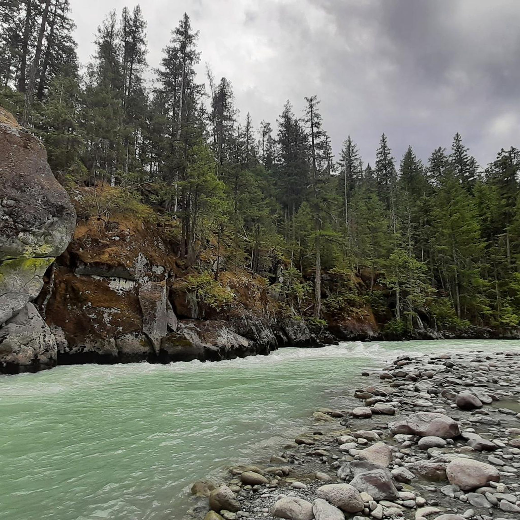
On the trail to Nairn Falls from the parking lot on Highway 99, there are many opportunities to catch a glimpse of the rushing Green River. Occasionally, speedboats carrying tourists pass by on their way to the waterfall.
2
0

The hiking trail to the waterfalls is a small highlight We recommend
1
0

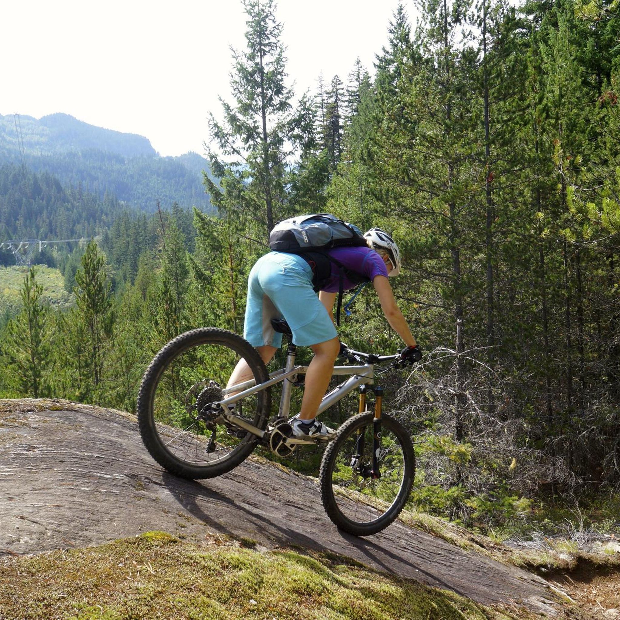
Even if you don't like climbing a lot, you will most likely love this trail called „Happy”. It is – in my opinion – one of the best uphill-trails in the world. You will need good cornering skills in order to enjoy it because there a tons of switchbacks.
4
0
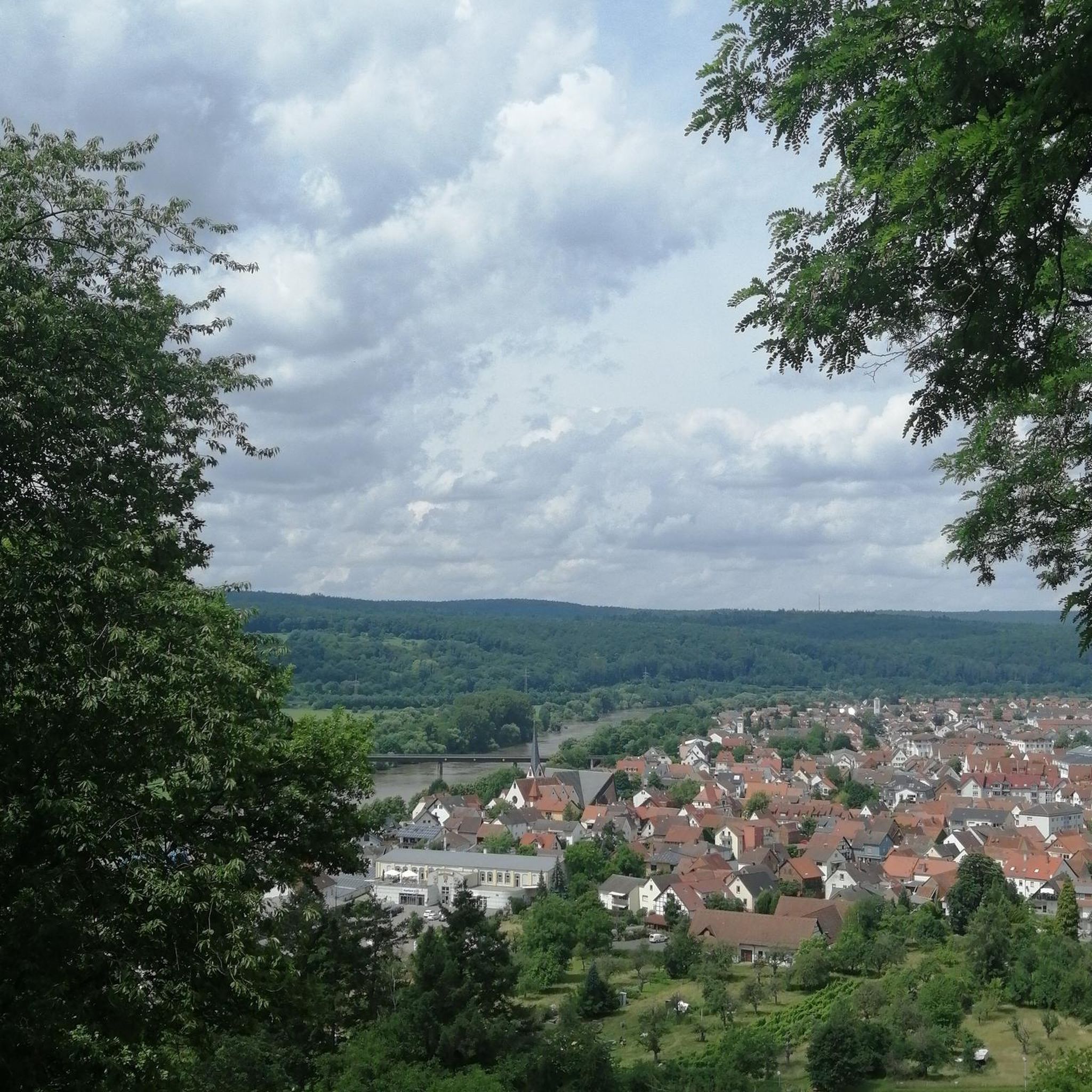
This is a perfect place for a rest. Take a seat at the bench and enjoy the amazing views of the Pemberton Valley.
1
0

The Green River has its origins in 633 m high Green Lake north of Whistler in the Pacific Ranges, a part of the Coast Mountains. It leaves the lake at its northern end and flows initially in predominantly northern, later in an easterly direction through the mountains. From the left, the Green River flows into the rivers Soo River and Rutherford Creek. Then the Green River at Nairn Falls Provincial Park overcomes the Nairn Falls. The Green River finally reaches the Pemberton Valley and flows 6 km east-southeast of Pemberton in the Lillooet River. The British Columbia Highway 99 (Whistler-Pemberton) follows the course of the river from Green Lake to Pemberton.
2
0
Frequently Asked Questions
How many running routes are available in Nairn Falls Provincial Park?
There are 10 dedicated running routes in Nairn Falls Provincial Park. These routes offer a variety of experiences, with 9 classified as moderate and 1 as difficult, catering to different fitness levels.
What kind of terrain can I expect on the jogging trails?
The jogging trails in Nairn Falls Provincial Park primarily feature a lush, forested environment with paths composed of dirt. While many sections are relatively flat, you can expect some gentle ups and downs, particularly on routes like the 1.5 km Nairn Falls Trail. Some areas might have short rocky sections, especially closer to the falls.
Are there any family-friendly running options in the park?
Yes, the main Nairn Falls Trail is an excellent family-friendly option. It's an easy, largely flat 1.5 km (one way) dirt path leading to the waterfalls, suitable for all skill levels. While it's primarily for hiking, its gentle nature makes it great for a family jog. For a longer, moderate option, consider the One Mile Lake loop from Nairn Falls Provincial Park.
Can I bring my dog on the running trails?
Nairn Falls Provincial Park is generally dog-friendly, but dogs must be kept on a leash at all times to protect wildlife and ensure the safety of other park users. Always remember to pack out any waste.
What natural features or attractions can I see while running?
The park is rich in natural beauty. You'll primarily encounter dense forests of cedar, hemlock, and Douglas fir. The highlight is the powerful Nairn Falls, a spectacular double waterfall on the Green River. Viewing platforms offer different perspectives of the falls. Some routes also connect to One Mile Lake, which offers additional scenic views.
Are there any loop running routes available?
Yes, several loop running routes are available. A popular choice is the One Mile Lake loop from Nairn Falls Provincial Park, which is 8.6 km long. Another option is the One Mile Lake loop from Pemberton, a longer 12.9 km route that also offers varied forest scenery.
Where can I park when visiting for a run?
The primary parking area for accessing the trails is the day-use parking lot at the Nairn Falls Provincial Park entrance. This lot provides direct access to the main Nairn Falls Trail. There is also a dedicated highlight for Nairn Falls Trailhead Parking.
What is the best time of year to go running in Nairn Falls Provincial Park?
The park is generally accessible for running from spring through fall, when the weather is mild and trails are clear. Summer offers lush greenery and full waterfalls. While winter running is possible, be prepared for snow and ice, which can make some trails challenging or inaccessible. Always check local conditions before heading out.
What do other runners enjoy most about jogging in Nairn Falls Provincial Park?
The area is highly rated by the komoot community, with an average score of 4.0 stars. Reviewers often praise the serene natural setting, the impressive Nairn Falls, and the variety of routes that cater to different abilities, from moderate forest paths to more challenging trails.
Are there any longer, more challenging running routes for experienced runners?
For experienced runners seeking a challenge, the Happy Trail – Nimby loop from Pemberton is a difficult 31.6 km route with significant elevation gain. This trail offers a more demanding experience through the region's diverse landscapes.
Are there any places to eat or drink near the park after a run?
While there are no cafes or pubs directly within Nairn Falls Provincial Park, the nearby town of Pemberton offers several options for refreshments and meals. It's a short drive away and provides a good spot to refuel after your run.
Can I reach Nairn Falls Provincial Park using public transport?
Public transport options directly to Nairn Falls Provincial Park are limited. It is generally recommended to access the park by car, especially for runners carrying gear. The park's convenient location near Pemberton and Whistler makes it an accessible stop for those traveling by vehicle.
Most popular routes in Nairn Falls Provincial Park
Most popular attractions in Nairn Falls Provincial Park

Get inspired with the komoot mobile app


Explore more
Browse the best Running Trails & Routes in other regions.
