The best road cycling routes in Pradera
4.9
(6)
161
riders
9
rides
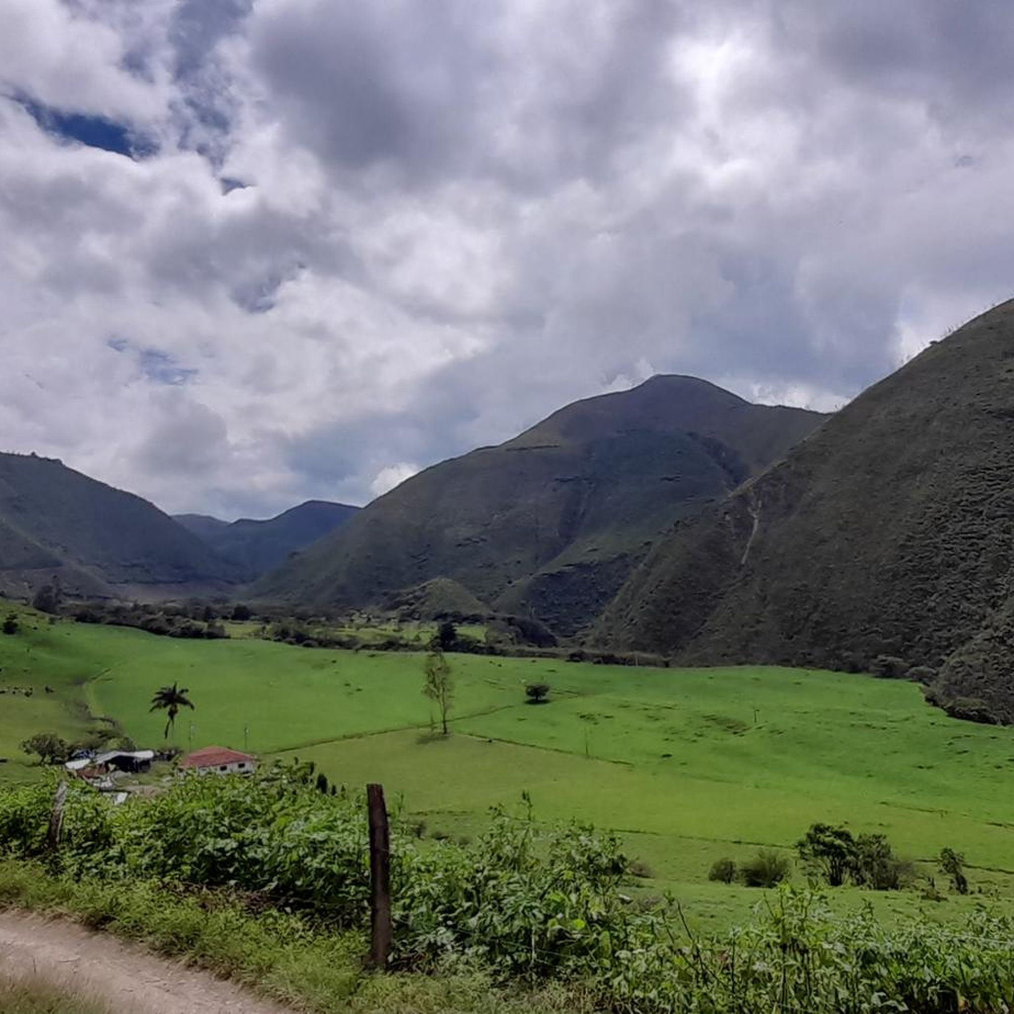
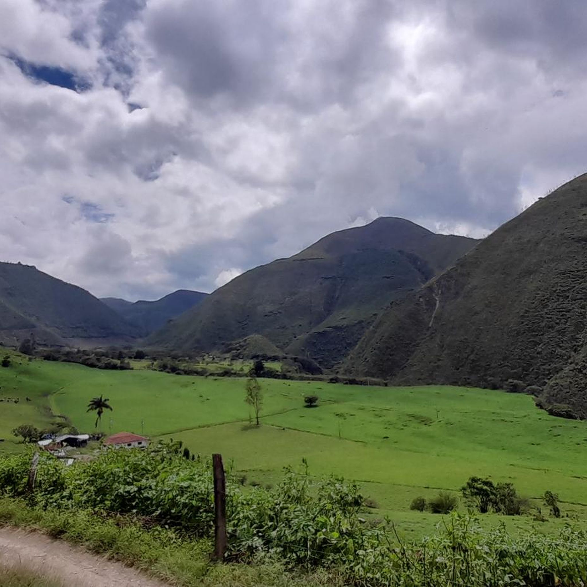
Road cycling routes in Pradera traverse diverse landscapes, characterized by Andean mountain ranges, expansive meadows, and rolling hills. The region, encompassing areas like Pradera in Valle del Cauca and La Pradera in Cundinamarca, features varied terrain suitable for road cyclists. Routes often include significant elevation changes, green landscapes, and a network of rivers and streams. The higher altitudes in some areas contribute to a cooler climate and offer panoramic views of the surrounding valleys.
Best road cycling routes in Pradera
…Last updated: June 26, 2026
4.8
(4)
36
riders
50.4km
02:15
390m
390m
Moderate road ride. Good fitness required. Some segments of this route may be unpaved and difficult to ride.
5.0
(1)
20
riders
45.4km
01:56
350m
350m
Moderate road ride. Good fitness required. Mostly well-paved surfaces and easy to ride.

Sign up for free
16
riders
31.2km
01:22
260m
260m
Easy road ride. Great for any fitness level. Mostly well-paved surfaces and easy to ride.
10
riders
63.5km
02:28
170m
170m
Moderate road ride. Good fitness required. Mostly well-paved surfaces and easy to ride.
14
riders
78.5km
03:11
390m
390m
Moderate road ride. Good fitness required. Mostly well-paved surfaces and easy to ride.
Get access to more routes and recommendations from other explorers.
Sign up for free
Already have an account?
Our route recommendations are based on thousands of hikes, rides, and runs completed by other people on komoot.
Start today with a free account
Your next adventure awaits.
Login or Signup
Popular around Pradera
Tips from the Community

It is an excellent meeting place to go out and do our training.
0
0

Short, steep and demanding climb at the end
0
0
Frequently Asked Questions
How many road cycling routes are available in Pradera?
There are 9 road cycling routes in Pradera listed on komoot, offering a variety of experiences for cyclists. These routes traverse diverse landscapes, including Andean mountain ranges, expansive meadows, and rolling hills.
What kind of terrain can I expect on road cycling routes in Pradera?
Road cycling in Pradera features varied terrain. You can expect routes with significant elevation changes through Andean mountain ranges, as well as more gentle rides through expansive meadows and rolling hills. The region includes areas like Pradera in Valle del Cauca, known for sugarcane fields and rivers, and La Pradera in Cundinamarca, characterized by higher altitudes and green landscapes.
Are there easy road cycling routes suitable for beginners in Pradera?
Yes, Pradera offers routes suitable for beginners. There are 2 easy routes available, such as the Maracaibo – Fuente de Agua loop from Palmira, which is 19.4 miles (31.2 km) long and features gentle gradients through green landscapes.
What are some scenic landmarks or viewpoints along the road cycling routes?
While specific landmarks directly on the routes are not detailed, the region itself offers stunning natural features. In Pradera, Valle del Cauca, you can find the Bolo, Parraga, and Vílela rivers, and the sacred site of Piedra del Canadá. El Portón del Cielo offers panoramic views of the Cauca Valley. In La Pradera, Cundinamarca, routes often provide views of rolling hills and green landscapes, with the Páramo de Canadá offering wild, high-elevation scenery for dedicated adventurers.
What do other road cyclists enjoy most about cycling in Pradera?
The road cycling routes in Pradera are highly rated by the komoot community, with an average score of 4.9 stars from 6 reviews. Cyclists often praise the varied terrain, from challenging climbs in the Andean foothills to scenic rides through agricultural landscapes and green meadows.
Are there any loop trails for road cycling in Pradera?
Yes, many of the popular road cycling routes in Pradera are loops. Examples include the Santa Elena Sign – Hacienda El Paraíso loop from Palmira, the Hacienda El Paraíso – Santa Elena Sign loop from Palmira, and the Maracaibo – Fuente de Agua loop from Palmira.
What is the best time of year to go road cycling in Pradera?
Given the region's diverse geography, including high-altitude areas in Cundinamarca, the best time to cycle can vary. Generally, cooler climates are found at higher altitudes. It's advisable to check local weather conditions, especially regarding rainfall and temperature, as the Andean region can experience seasonal variations. Routes in Valle del Cauca might be warmer than those in Cundinamarca.
Are there any family-friendly road cycling options in Pradera?
For families, the easier routes with gentle gradients would be most suitable. The Maracaibo – Fuente de Agua loop from Palmira is an easy route that might be a good option, offering a pleasant ride through green landscapes without significant elevation challenges.
Where can I find parking for road cycling routes in Pradera?
Specific parking information for individual trailheads is not detailed in the route descriptions. However, many routes start from towns like Palmira or Villa Gorgona. It is recommended to check local parking availability in these starting points or near known attractions before your ride.
Are there any cafes or places to stop for refreshments along the routes?
While specific cafes are not listed for each route, the routes often pass through or near towns and agricultural areas. It is common to find local establishments in these areas where you can stop for refreshments. Planning your route with potential stops in mind, especially in towns like Palmira or Subachoque, is recommended.
What is the typical elevation gain on road cycling routes in Pradera?
The elevation gain varies significantly across routes in Pradera due to the diverse terrain. For example, the Santa Elena Sign – Hacienda El Paraíso loop from Palmira has an elevation gain of approximately 395 meters, while the Maracaibo – Fuente de Agua loop from Palmira has about 259 meters of elevation gain. Routes in the Cundinamarca region, known for high-altitude Andean terrain, can feature more extensive climbs.
Can I reach the road cycling routes using public transport?
Information on specific public transport access to trailheads is not provided. However, major towns like Palmira (Valle del Cauca) and Subachoque (Cundinamarca), which serve as starting points for many routes, are generally accessible by regional public transport. It is advisable to research local bus services to these towns and their proximity to your chosen route's starting point.
Most popular routes in Pradera

Get inspired with the komoot mobile app


Explore more
Browse the best Road cycling routes in other regions.
