The best MTB trails around South Monrovia Island
15
riders
6
rides
Mountain biking around South Monrovia Island offers access to the diverse terrain of the nearby San Gabriel Mountains. This region is characterized by significant elevation gains, chaparral-covered hillsides, and wooded canyons. Mountain bikers can expect challenging routes with technical sections and a network of fire roads and truck trails.
Best mountain bike trails around South Monrovia Island
- The most popular mountain bike trail is Mt. Wilson Enduro Loop, a difficult 34.9 miles (56.2 km) trail that takes 7 hours…
Last updated: October 5, 2026
56.2km
07:11
2,170m
2,170m
Hard mountain bike ride. Very good fitness required. Advanced riding skills necessary. Some portions of the route may require you to push your bike.
8.76km
01:07
420m
430m
Moderate mountain bike ride. Good fitness required. Suitable for all skill levels.

1
riders
10.2km
01:11
340m
340m
Moderate mountain bike ride. Good fitness required. Suitable for all skill levels.
5
riders
12.4km
01:07
300m
300m
Easy mountain bike ride. Great for any fitness level. Suitable for all skill levels.
5
riders
Hard mountain bike ride. Very good fitness required. Suitable for all skill levels.
Our route recommendations are based on thousands of hikes, rides, and runs completed by other people on komoot.
Start today with a free account
Your next adventure awaits.

Tips from the Community

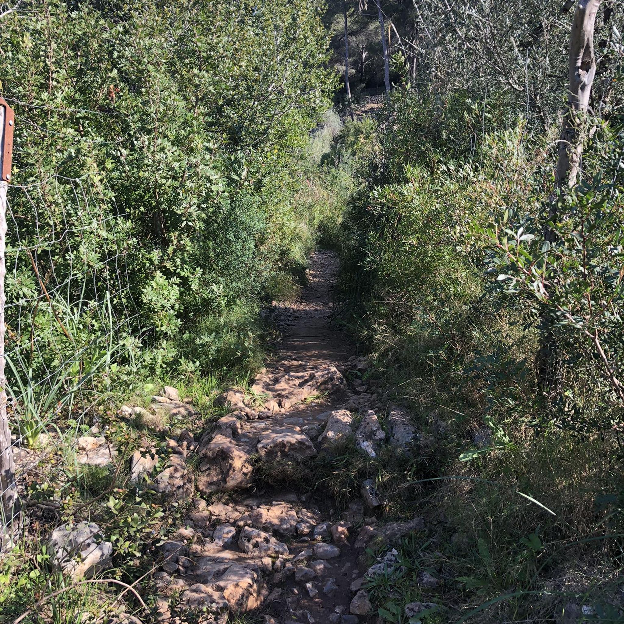
Mostly smooth fire road through Monrovia Hillside Wilderness, but with some steep and technical sections that might challenge beginners. Ride counterclockwise from Canyon Park and follow the signs—many side trails cross private land. The descent includes tight switchbacks and a short singletrack section. You can stick to the main road or take the “advanced” trail, Cactus Road, for more climbs, exposure, and a fun technical finish.
0
0

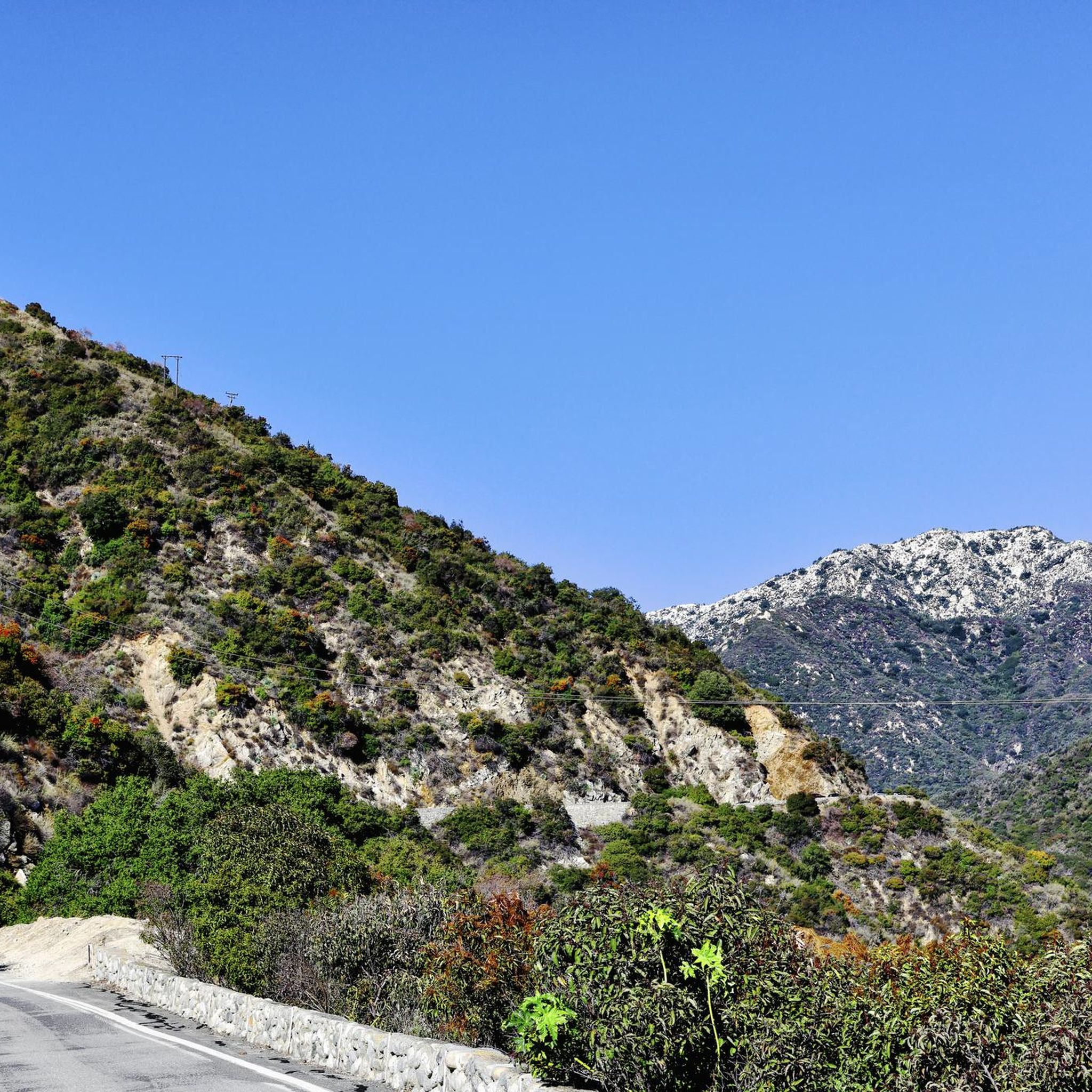
Great view from the cycle path of the San Gabriel Mountains in the distance.
0
0

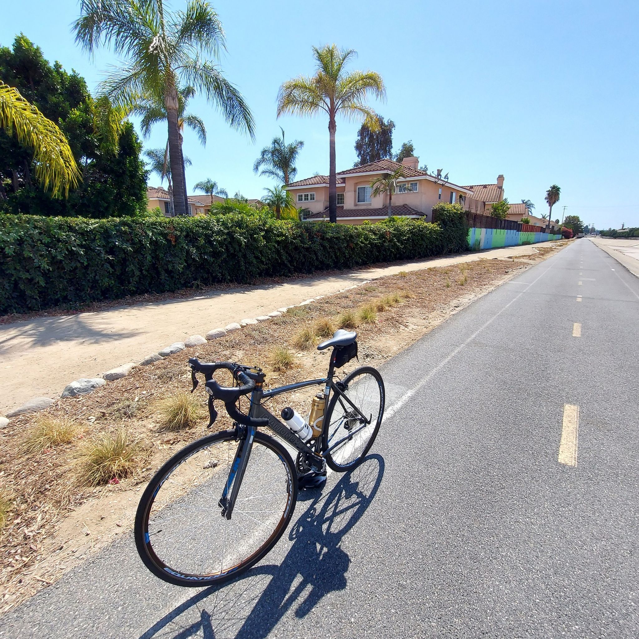
Limited cars use the roads so it is nice to get away from traffic
0
0

Chantrey Flats is the natural end for those riding the Sturtevant Trail. If you shuttled to Mt. Wilson with a friend then this is likely the end of the line for you. Others might need to ride back down to Altadena if they took the shuttle offered by SCOAoutdoors.net. And still others might be climbing their way back up to the top via the myriad of roads and trails that depart from this picnic area.
0
0

One of the largest urban parks in the valley, with lakes, meadows, sports fields, picnic areas, etc.
0
0

A great singletrack climb! Continue with Lower Winter Creek Trail to get back to the Parking Lot at Chantry. This is a fun loop with some tricky rock sections.
1
0
The Mt. Wilson Trail is an epic downhill trail that will put a smile on your face, I promise!
1
0
Very large public park along the river with a network of car-free bike trails and quiet park roads connecting several lakes, shady groves, and picnic facilities with restrooms and water.
0
0
Frequently Asked Questions
How many mountain bike trails are there around South Monrovia Island?
There are 5 mountain bike trails documented around South Monrovia Island in this guide. These routes offer a range of experiences, primarily moderate to difficult, within the diverse terrain of the San Gabriel Mountains.
Are there mountain bike trails suitable for beginners or families?
While there are no trails specifically rated as 'easy' in this guide, several moderate options are available. Trails like the Upper and Lower Winter Creek Trail Loop (8.8 km) or the Lower Clamshell Truck Trail (10.2 km) offer less technical challenges than the difficult routes, making them more approachable for those with some mountain biking experience or older families looking for a moderate adventure. Monrovia Canyon Park also features fire roads that can be suitable for a less strenuous ride.
What kind of terrain can I expect on mountain bike trails near South Monrovia Island?
The terrain around South Monrovia Island is dominated by the San Gabriel Mountains, offering a mix of chaparral-covered hillsides, wooded canyons, and significant elevation gains. You'll encounter challenging routes with technical sections, as well as fire roads and truck trails. Expect varied surfaces, from packed dirt to rocky sections, providing a diverse mountain biking experience.
Are there any advanced mountain bike routes in the area?
Yes, for experienced riders seeking a challenge, the Mt. Wilson Enduro Loop is a difficult 56.2 km trail with over 2100 meters of elevation gain. This route features technical sections and rewards riders with panoramic views of the Los Angeles area, making it a demanding and highly rewarding option for advanced mountain bikers.
Are there any loop mountain bike trails around South Monrovia Island?
Yes, several loop trails are available. The Upper and Lower Winter Creek Trail Loop is a moderate 8.8 km option winding through wooded canyons. For a longer ride, the Mountainbike loop from Monrovia covers 12.3 km, and the Monrovia Recreation Park loop from Monrovia is a 15.0 km moderate ride.
What are the best times of year to go mountain biking in this region?
The best times for mountain biking around South Monrovia Island are typically during the cooler, drier months of late fall, winter, and spring. Summers can be very hot, especially on exposed trails, so early morning rides are recommended if biking during this season. Always check local weather conditions before heading out.
What can I see along the mountain bike trails or nearby?
While the mountain bike trails themselves offer stunning mountain vistas, chaparral landscapes, and canyon views, the broader area also has points of interest. You might encounter features like the Sawpit Dam in Monrovia Canyon Park. For other cycling-related points, you can find highlights such as the Duarte Bike Trail or the San Gabriel River Greenway nearby, which are more suited for casual cycling.
Are there any waterfalls accessible by mountain bike?
While direct mountain bike access to waterfalls can be limited, the San Gabriel Mountains are known for natural features like Sturtevant Falls. Some canyon trails follow creeks that lead to waterfalls, but these are often hiking-only paths. You may be able to bike to trailheads and then hike to reach such natural attractions.
Is there public transport access to the mountain bike trails?
South Monrovia Island is a landlocked community in Los Angeles County. While public transport options exist within the broader Los Angeles area, direct public transport access to the specific mountain trailheads in the San Gabriel Mountains can be limited. It's generally recommended to use a car to reach the starting points of most mountain biking routes.
What do other mountain bikers enjoy most about mountain biking around South Monrovia Island?
Mountain bikers often praise the diverse mountain terrain, the challenging nature of the routes, and the rewarding panoramic views of the Los Angeles area. The network of trails, including both technical singletracks and fire roads, provides varied experiences for different skill levels, making it a popular destination for those seeking an authentic mountain biking adventure.
Are there any cafes or places to eat near the mountain bike trails?
South Monrovia Island is adjacent to the community of Monrovia, which offers various amenities. After your ride, you can find cafes, restaurants, and other services in Monrovia to refuel and relax. These are typically a short drive from the mountain foothills where many trails begin.
What are the typical durations for mountain bike trails in this area?
The durations vary significantly based on the trail's length and difficulty. Moderate trails like the Upper and Lower Winter Creek Trail Loop can take around 1 hour 6 minutes, while the Lower Clamshell Truck Trail is about 1 hour 11 minutes. For a more extensive challenge, the difficult Mt. Wilson Enduro Loop can take approximately 7 hours 10 minutes to complete.
Most popular attractions around South Monrovia Island

Get inspired with the komoot mobile app


Explore more
Browse the best MTB trails in other regions.
