The best walks and hikes around South Monrovia Island
4.8
(31)
500
hikers
50
hikes
Hiking around South Monrovia Island explores trails situated at the foothills of the San Gabriel Mountains in Los Angeles County, California. The region's geography is characterized by chaparral-covered hillsides, wooded canyons, and access to the higher elevations of the Angeles National Forest. This provides a mix of shaded canyon paths and exposed routes offering expansive views. The area offers diverse landscapes for outdoor activities.
Best hiking trails around South Monrovia Island
- The most popular hiking route is Sturtevant Falls via…
Last updated: May 20, 2026
5.0
(1)
16
hikers
4.15km
01:06
30m
40m
Easy hike. Great for any fitness level. Easily-accessible paths. Suitable for all skill levels.
2
hikers
2.17km
00:41
120m
10m
Easy hike. Great for any fitness level. Easily-accessible paths. Suitable for all skill levels.

Sign up for free
2
hikers
2.99km
00:46
20m
10m
Easy hike. Great for any fitness level. Easily-accessible paths. Suitable for all skill levels.
7.78km
01:59
30m
20m
Easy hike. Great for any fitness level. Easily-accessible paths. Suitable for all skill levels.
701m
00:11
0m
0m
Easy hike. Great for any fitness level. Easily-accessible paths. Suitable for all skill levels.
Get access to more routes and recommendations from other explorers.
Sign up for free
Already have an account?
Our route recommendations are based on thousands of hikes, rides, and runs completed by other people on komoot.
Start today with a free account
Your next adventure awaits.
Login or Signup


Tips from the Community

Mostly smooth fire road through Monrovia Hillside Wilderness, but with some steep and technical sections that might challenge beginners. Ride counterclockwise from Canyon Park and follow the signs—many side trails cross private land. The descent includes tight switchbacks and a short singletrack section. You can stick to the main road or take the “advanced” trail, Cactus Road, for more climbs, exposure, and a fun technical finish.
0
0

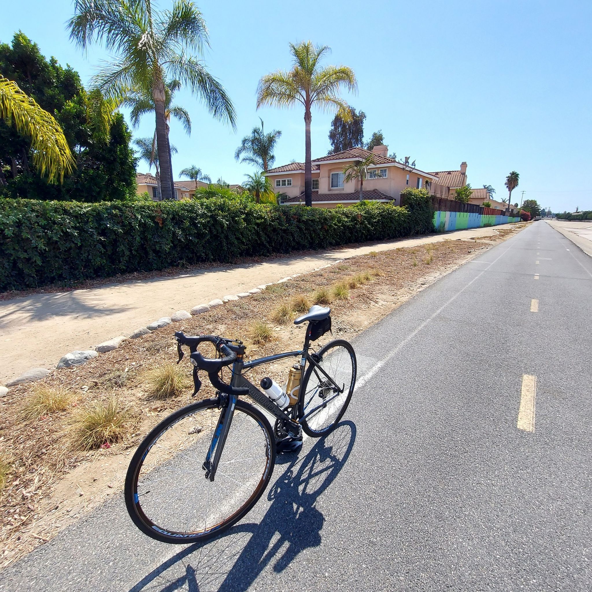
Leafy park with lawns and shaded seating, restrooms, drinking water fountains, and a bike repair station. Great for a break or as trailhead to ride west along the dedicated Duarte Bike Trail, a multi-purpose trail that was founded in 1977. It stretches 1.6 miles from Royal Oaks Park at Vineyard Avenue to Buena Vista Avenue. Next to the paved cycling path runs a dirt jogging and equestrian trail shaded by oak trees. The gently sloped trail follows the historic Pacific Electric Railway route, passing an arched bridge that once carried Red Trolley Cars to Los Angeles.
1
0
Frequently Asked Questions
What exactly is 'South Monrovia Island'?
"South Monrovia Island" is a name sometimes used to refer to the hiking areas in and around Monrovia, California. The region is not an actual island but is nestled at the foothills of the San Gabriel Mountains, offering a variety of trails through canyons and chaparral-covered hillsides.
Are there any easy hikes suitable for beginners or families?
Yes, the area offers several easier options. A great choice for a family outing is the Sturtevant Falls via Sturtevant Trail. It's a relatively short 3.1-mile (5.0 km) hike that follows a creek to a scenic waterfall, making it engaging for all ages.
Can I bring my dog on the trails?
Many trails in the Monrovia area and the surrounding Angeles National Forest are dog-friendly, provided your dog is kept on a leash. However, park-specific rules can vary. For instance, Monrovia Canyon Park has its own regulations, so it's always best to check the specific rules for the park or preserve you plan to visit before you go.
Are there any waterfalls to see on the hikes?
Absolutely. The region is known for its beautiful waterfalls, especially after rainy periods. The Monrovia Canyon Waterfall is a highlight within the popular Monrovia Canyon Park. Another well-loved destination is Sturtevant Falls, located in the Angeles National Forest, which is accessible via a beautiful canyon trail.
What are the parking options for the main trailheads?
Parking is available at major trail access points like Monrovia Canyon Park, which is a primary gateway to many trails. This park can get very busy, especially on weekends, so arriving early is recommended. Some trailheads, like those for the Monrovia Hillside Preserve, start in residential areas with street parking, so be sure to observe all posted signs.
Are there any challenging, long-distance hikes available?
Yes, for those seeking a strenuous challenge, the San Gabriel Mountains offer numerous options. The Mount Wilson via Sturtevant Trail loop is a demanding 12-mile (19.3 km) trek with significant elevation gain, rewarding hikers with incredible views from the summit.
What kind of wildlife might I see?
The trails wind through diverse habitats, offering chances to see a variety of wildlife. Keep an eye out for mule deer, coyotes, and numerous bird species. In more remote canyon areas, it's also possible to spot bobcats or even black bears, so it's important to be aware of your surroundings and store food properly.
Are there any good spots to watch the sunset?
For a rewarding view at the end of the day, locals often head to Sunset Bench. It's a peaceful spot that offers a place to reflect and enjoy panoramic views as the sun goes down over the San Gabriel Valley.
What do other hikers think of the trails in this area?
The trails around Monrovia are highly regarded by the komoot community, with an average rating of 4.7 stars. Hikers frequently praise the mix of shaded canyon paths and exposed ridgelines with expansive views, as well as the accessibility to stunning natural features like waterfalls.
How many hiking trails are there around South Monrovia Island?
You can explore over 15 designated hiking routes in the region. These range from easy, family-friendly walks in local parks to difficult, full-day ascents into the San Gabriel Mountains, providing options for every skill level.
Are there any circular or loop trails?
Yes, there are several loop trails that allow you to enjoy a varied hike without backtracking. For a difficult but rewarding option, consider the Mt. Wilson Trail via Bailey Canyon Trail loop, which combines different paths for a comprehensive mountain experience.
What should I pack for a day hike in this area?
It's essential to bring plenty of water, as many trails can be exposed and hot, especially in summer. Sun protection like a hat and sunscreen is crucial. Also, wear sturdy hiking shoes for the rocky and uneven terrain. Given the variable mountain weather, packing layers is always a wise choice.
Most popular attractions around South Monrovia Island

Get inspired with the komoot mobile app


Explore more
Browse the best Hikes in other regions.
