
The best running trails around Presa Manuel vila Camacho
5.0
(47)
448
runners
18
runs
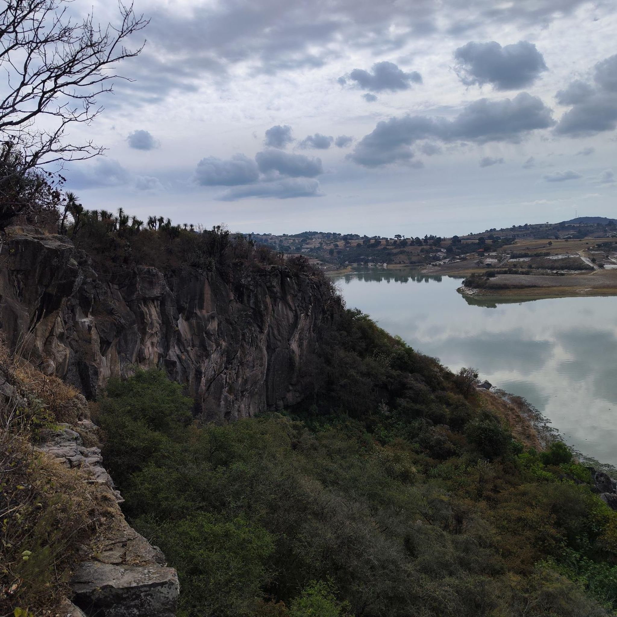
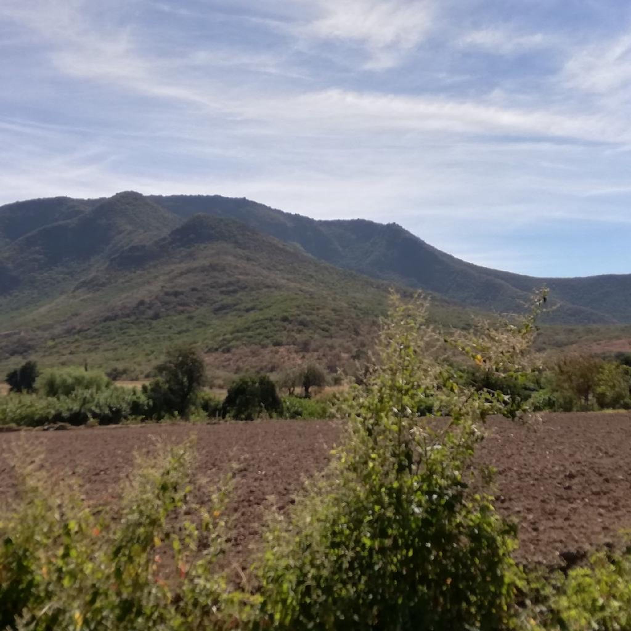
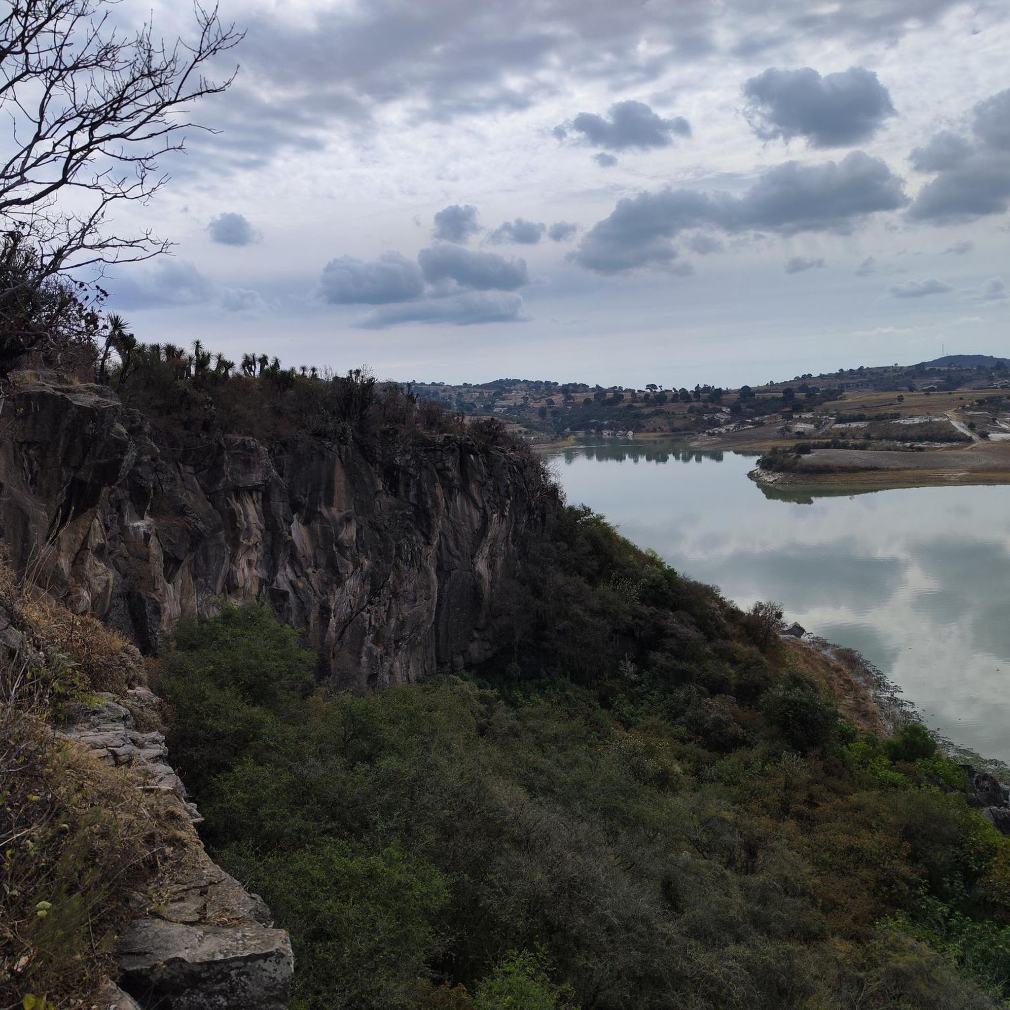
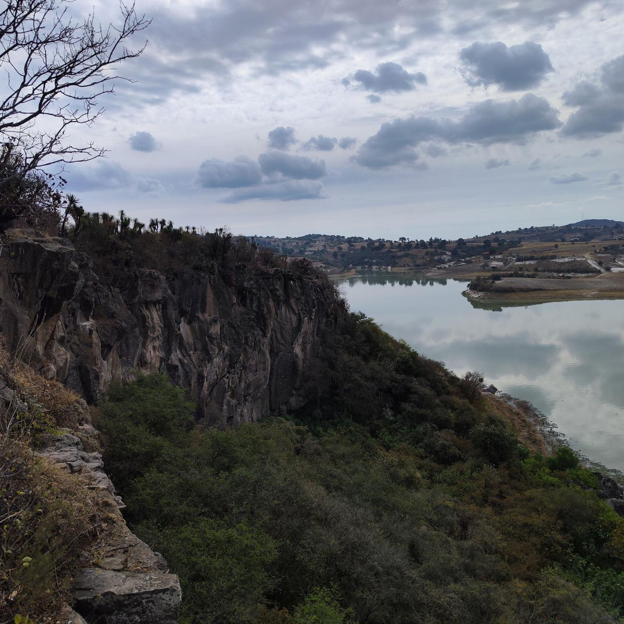
Jogging routes Presa Manuel Ávila Camacho offer diverse terrain around the expansive Valsequillo dam, the largest body of water in Puebla. The region features surrounding terrestrial areas with varied biodiversity, including protected zones like Parque Bicentenario and Parque Estatal Humedal de Valsequillo. Runners can experience views of distant volcanoes and explore local hills, such as Cerro Toluquillo, alongside areas with oak and sabino forests. The landscape provides a mix of open views and natural settings suitable for outdoor exercise.
Best jogging routes around Presa Manuel Ávila Camacho
- The most popular jogging route is Running loop from Lomas de Angelópolis, a 3.2 miles (5.2 km) trail that takes about 30 minutes to complete, offering accessible paths within the local area.
- Another top favourite among local runners is Laguna de los Patos Salvajes loop from Terminal Paseo Destino, a moderate 7.9 miles (12.7 km) path. This route provides scenic views around the lake, passing through areas rich in avian life.
- Local runners also love the Laguna del Parque del Arte loop from Río Atoyac, a 5.9 miles (9.5 km) trail leading through natural parkland, often completed in about 1 hour.
- Jogging around Presa Manuel Ávila Camacho is defined by expansive lake views, surrounding hills, and protected natural areas. The network offers options for different ability levels, from easy loops to more challenging paths.
- The routes in Presa Manuel Ávila Camacho are highly rated by the komoot community with an average score of 4.9 stars from over 40 reviews. More than 400 runners have used komoot to explore Presa Manuel Ávila Camacho's varied terrain.
Last updated: July 1, 2026
7
runners
5.18km
00:33
50m
50m
Moderate run. Good fitness required. Mostly paved surfaces. Suitable for all skill levels.
68
runners
12.7km
01:20
90m
90m
Moderate run. Good fitness required. Mostly paved surfaces. Suitable for all skill levels.

Sign up for free
61
runners
9.45km
01:00
70m
70m
Moderate run. Good fitness required. Mostly paved surfaces. Suitable for all skill levels.
22
runners
12.6km
01:19
90m
90m
Moderate run. Good fitness required. Mostly paved surfaces. Suitable for all skill levels.
10
runners
4.75km
00:30
20m
20m
Easy run. Great for any fitness level. Mostly paved surfaces. Suitable for all skill levels.
Get access to more routes and recommendations from other explorers.
Sign up for free
Already have an account?
Our route recommendations are based on thousands of hikes, rides, and runs completed by other people on komoot.
Start today with a free account
Your next adventure awaits.
Login or Signup
Frequently Asked Questions
How many running routes are available around Presa Manuel Ávila Camacho?
There are 18 dedicated running routes around Presa Manuel Ávila Camacho, offering a variety of distances and difficulty levels for joggers of all experience levels.
What kind of terrain can I expect on the running trails around Presa Manuel Ávila Camacho?
The terrain varies, offering expansive views of the Valsequillo dam, surrounding hills like Cerro Toluquillo, and natural settings within protected areas such as Parque Bicentenario and Parque Estatal Humedal de Valsequillo. You'll find paths through oak and sabino forests, providing a mix of open and shaded sections.
Are there easy running routes suitable for beginners?
Yes, there are 4 easy running routes around Presa Manuel Ávila Camacho. An excellent option for beginners is Running loop from Municipio de Puebla, which is approximately 3 miles (4.7 km) long and features minimal elevation gain.
Are there any challenging running trails for experienced runners?
For more experienced runners seeking a challenge, there are 2 difficult routes available. These trails typically feature greater distances and more significant elevation changes, providing a more strenuous workout while still offering scenic views of the region.
What do other runners say about the routes in Presa Manuel Ávila Camacho?
The running routes in Presa Manuel Ávila Camacho are highly regarded by the komoot community, with an impressive average rating of 4.9 stars from over 40 reviews. Runners often praise the diverse landscapes, from lake views to natural parklands, and the variety of options for different fitness levels.
Are there any circular running routes around the dam?
Yes, many of the routes are circular, allowing you to start and finish at the same point. For example, the Laguna de los Patos Salvajes loop from Terminal Paseo Destino is a popular moderate circular route, offering scenic views around the lake.
Can I find running routes that pass by interesting natural features or landmarks?
While direct 'nearby_attractions' data is not available for specific routes, the region itself is rich in natural features. You can expect routes with expansive lake views, opportunities to spot diverse bird species, and paths through protected natural areas like Parque Bicentenario, which are crucial habitats for local flora and fauna. Some trails also offer views of distant volcanoes.
Are there any family-friendly running paths?
Many of the easier and moderate routes are suitable for families, especially those looking for a pleasant walk or a light jog. The protected natural areas, with their diverse birdlife and gentle paths, can be particularly enjoyable for families. Always check the route's difficulty and length to ensure it matches your family's capabilities.
Is it possible to run with dogs on the trails?
While specific regulations for dogs on every trail are not detailed, generally, many outdoor areas in Mexico are dog-friendly, especially on leash. It's advisable to keep your dog on a leash and ensure you clean up after them to maintain the natural environment for all users. Always respect local signage regarding pet access.
What is the best time of year to go jogging around Presa Manuel Ávila Camacho?
The region generally offers pleasant conditions for jogging for much of the year. However, it's always best to check local weather forecasts. Mornings and late afternoons are typically ideal to avoid the midday heat, especially during warmer months. The natural beauty, including migratory birds, can be particularly vibrant during certain seasons.
Are there any long-distance running options available?
Yes, for those looking for longer runs, routes like the Laguna de los Patos Salvajes loop from Terminal Paseo Destino cover approximately 7.9 miles (12.7 km). There are also other moderate routes that offer substantial distances for endurance training.
Where can I find parking for the running trails?
While specific parking locations for each trail are not listed, popular access points to the dam and protected areas often have designated parking. It's recommended to check the starting point of your chosen route on komoot for more precise parking information or look for public parking facilities near the main entrances to areas like Parque Bicentenario.
Most popular routes around Presa Manuel vila Camacho

Get inspired with the komoot mobile app


Explore more
Browse the best Running Trails & Routes in other regions.
