The best road cycling routes around Presa Manuel vila Camacho
5.0
(3)
70
riders
5
rides
Road cycling routes around Presa Manuel Ávila Camacho traverse a landscape characterized by varied topography, including barrancas (ravines), lomas (hills), and cerros (peaks under 200m). The region offers a mix of ascents and descents, with routes often looping through different geographical features. This area provides road cyclists with diverse terrain for endurance and scenic rides.
Best road cycling routes around Presa Manuel Ávila Camacho
- The most popular road cycling route is Descent at Police Academy – Santa Cruz Alpuyeca loop…
Last updated: July 2, 2026
5.0
(1)
20
riders
Moderate road ride. Good fitness required. Some segments of this route may be unpaved and difficult to ride.
12
riders
116km
06:19
2,200m
2,200m
Hard road ride. Very good fitness required. Mostly well-paved surfaces and easy to ride.

Sign up for free
5.0
(2)
6
riders
72.8km
03:30
900m
900m
Moderate road ride. Good fitness required. Some segments of this route may be unpaved and difficult to ride.
9
riders
52.9km
02:31
350m
350m
Moderate road ride. Good fitness required. Mostly well-paved surfaces and easy to ride.
8
riders
Moderate road ride. Good fitness required. Some segments of this route may be unpaved and difficult to ride.
Our route recommendations are based on thousands of hikes, rides, and runs completed by other people on komoot.
Start today with a free account
Your next adventure awaits.
Login or Signup

Tips from the Community

If you are a beginner, take your precautions on the descents, the terrain is good but it has one or two potholes, (be careful with that)
0
0
To all those who are looking for a good route to squeeze their legs, you have to know this route 👍, bring a good sandwich 🫡and good luck warrior
0
0

Excellent
0
0

Super nice facility close to the historic city center!
2
0
Frequently Asked Questions
How many road cycling routes are available around Presa Manuel Ávila Camacho?
There are 5 distinct road cycling routes available around Presa Manuel Ávila Camacho, offering a variety of experiences for different skill levels.
What is the general difficulty level for road cycling in Presa Manuel Ávila Camacho?
The road cycling routes in Presa Manuel Ávila Camacho primarily range from moderate to difficult. You'll find 4 moderate routes and 1 difficult route, characterized by significant elevation changes, including ascents through barrancas (ravines), lomas (hills), and cerros (peaks).
Are there any beginner-friendly road cycling routes in the Presa Manuel Ávila Camacho area?
While the region is known for its varied topography and challenging ascents, the routes around Presa Manuel Ávila Camacho are generally rated as moderate to difficult. There are no routes specifically classified as easy, so beginners should be prepared for some elevation gain and varied terrain.
Are there any advanced or challenging road cycling routes for experienced riders?
Yes, experienced riders looking for a challenge will find the region suitable. The Barranca el Alcanford – Loma San Bernardo loop from Boulevard Los Reyes is a difficult 71.8-mile (115.6 km) route with substantial climbing, offering a demanding experience through ravines and hills.
What kind of terrain can I expect on road cycling routes around Presa Manuel Ávila Camacho?
The terrain around Presa Manuel Ávila Camacho is characterized by a mix of barrancas (ravines), lomas (hills), and cerros (peaks under 200m). This means you can expect a dynamic ride with frequent ascents and descents, providing both endurance challenges and scenic views.
Are there any loop road cycling routes in the area?
Yes, all the road cycling routes in this guide are loops, allowing you to start and finish at the same point. Examples include the Descent at Police Academy – Santa Cruz Alpuyeca loop from San Francisco Totimehuacán and the Barranca Coahuilapa – Cerro Cuanalapa loop from Municipio de Puebla.
What is the best time of year for road biking around Presa Manuel Ávila Camacho?
Given the varied topography, road cycling around Presa Manuel Ávila Camacho is generally enjoyable for much of the year. However, it's always best to check local weather forecasts, especially during rainy seasons, as barrancas and hills can be affected by conditions. Spring and autumn often offer pleasant temperatures for cycling.
What do other road cyclists enjoy most about the routes in Presa Manuel Ávila Camacho?
The routes in Presa Manuel Ávila Camacho are highly rated by the komoot community, with an average score of 5.0 stars from 5 reviews. Cyclists often praise the diverse terrain, which includes challenging climbs through barrancas and scenic descents, offering a rewarding experience for those seeking endurance rides.
Are there any family-friendly road cycling options near Presa Manuel Ávila Camacho?
The routes listed are generally moderate to difficult due to significant elevation changes. For family-friendly cycling, it's advisable to assess the fitness level of all participants. While there are no easy routes, some moderate loops like the Roadbike loop from Carmen Serdán might be suitable for families with older, more experienced children.
Are there any viewpoints or scenic spots along the road cycling routes?
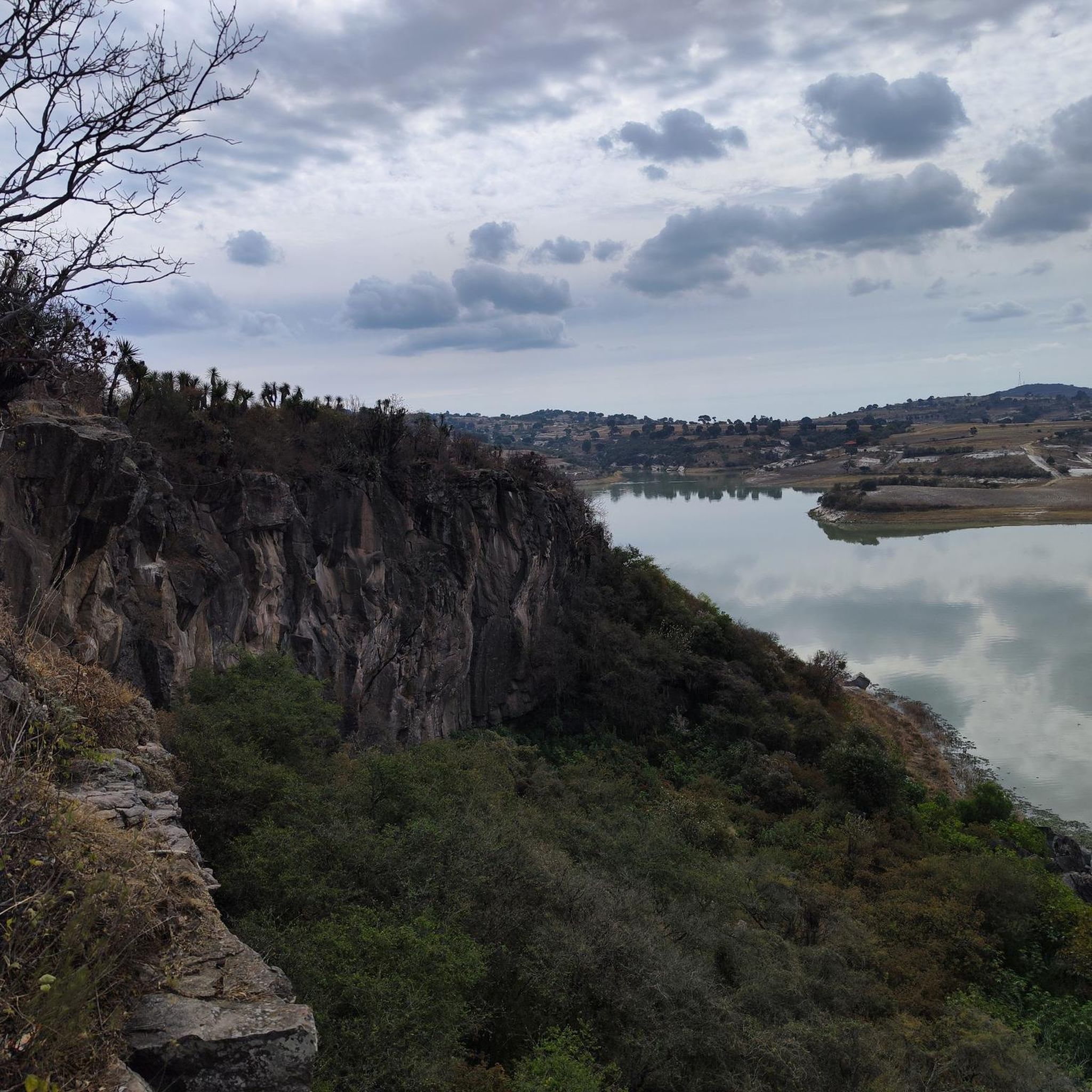
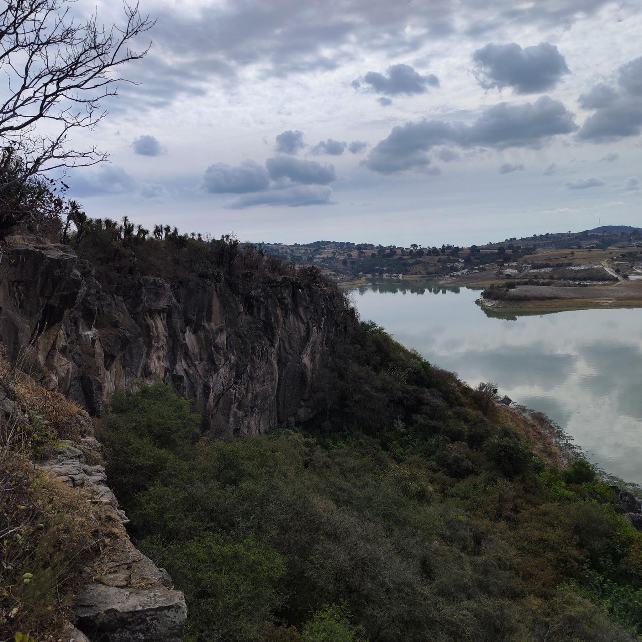
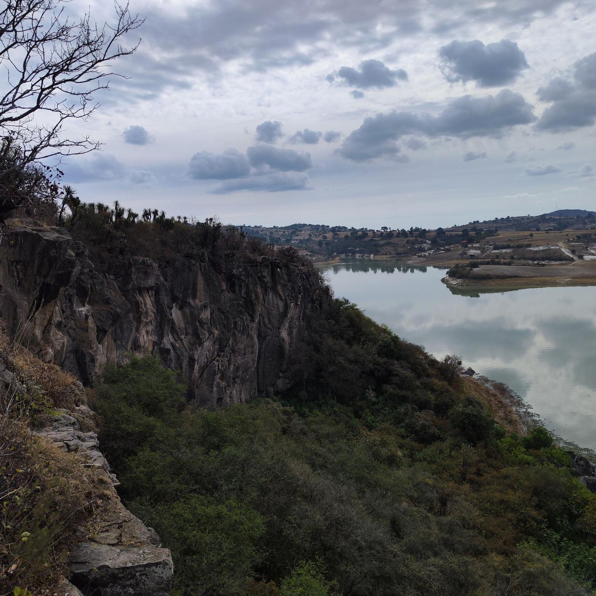
The region's landscape, characterized by barrancas, lomas, and cerros, naturally offers numerous scenic spots. As you traverse the routes, you'll encounter elevated sections that provide panoramic views of the surrounding area, including the Presa Manuel Ávila Camacho itself and the varied topography.
Where can I find parking for road biking trails in Presa Manuel Ávila Camacho?
Parking availability will vary depending on your chosen starting point. Many routes begin near towns or residential areas, such as San Francisco Totimehuacán or Boulevard Los Reyes, where street parking or designated public parking might be available. It's recommended to check the specific route details on komoot for more precise parking information near your chosen trailhead.
Are there cafes or places to refuel near the road cycling routes?
Many of the routes start or pass through areas close to populated centers like Municipio de Puebla or San Francisco Totimehuacán. These towns typically offer various amenities, including cafes, restaurants, and shops where you can refuel and rest during or after your ride. Planning your stops in advance is always a good idea.
Most popular routes around Presa Manuel vila Camacho

Get inspired with the komoot mobile app


Explore more
Browse the best Road cycling routes in other regions.
