The best gravel rides in Gold Creek Reservoir
4.0
(5)
56
riders
3
rides
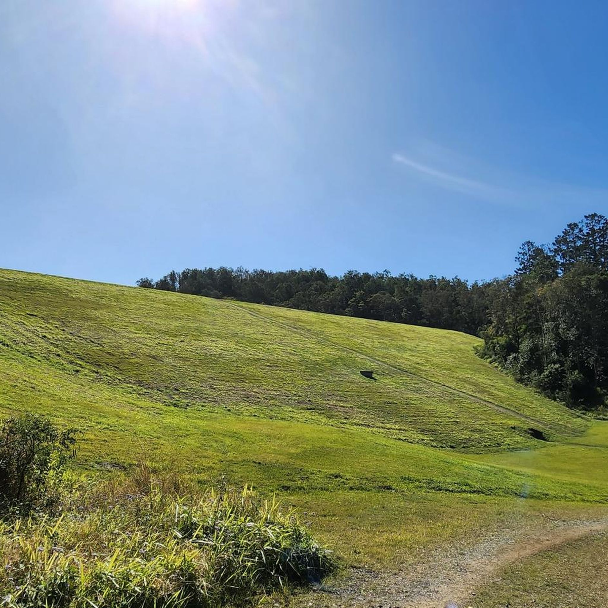
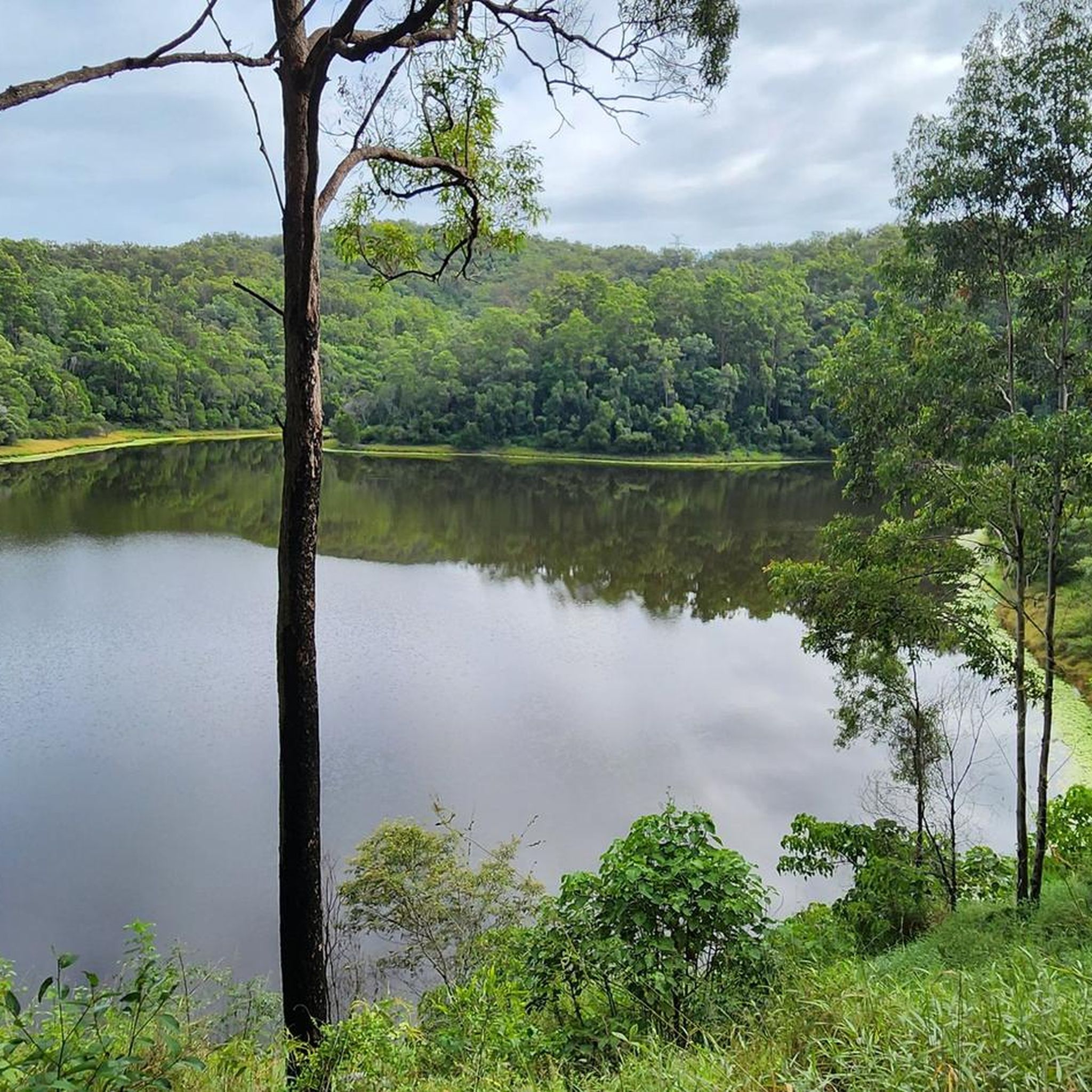
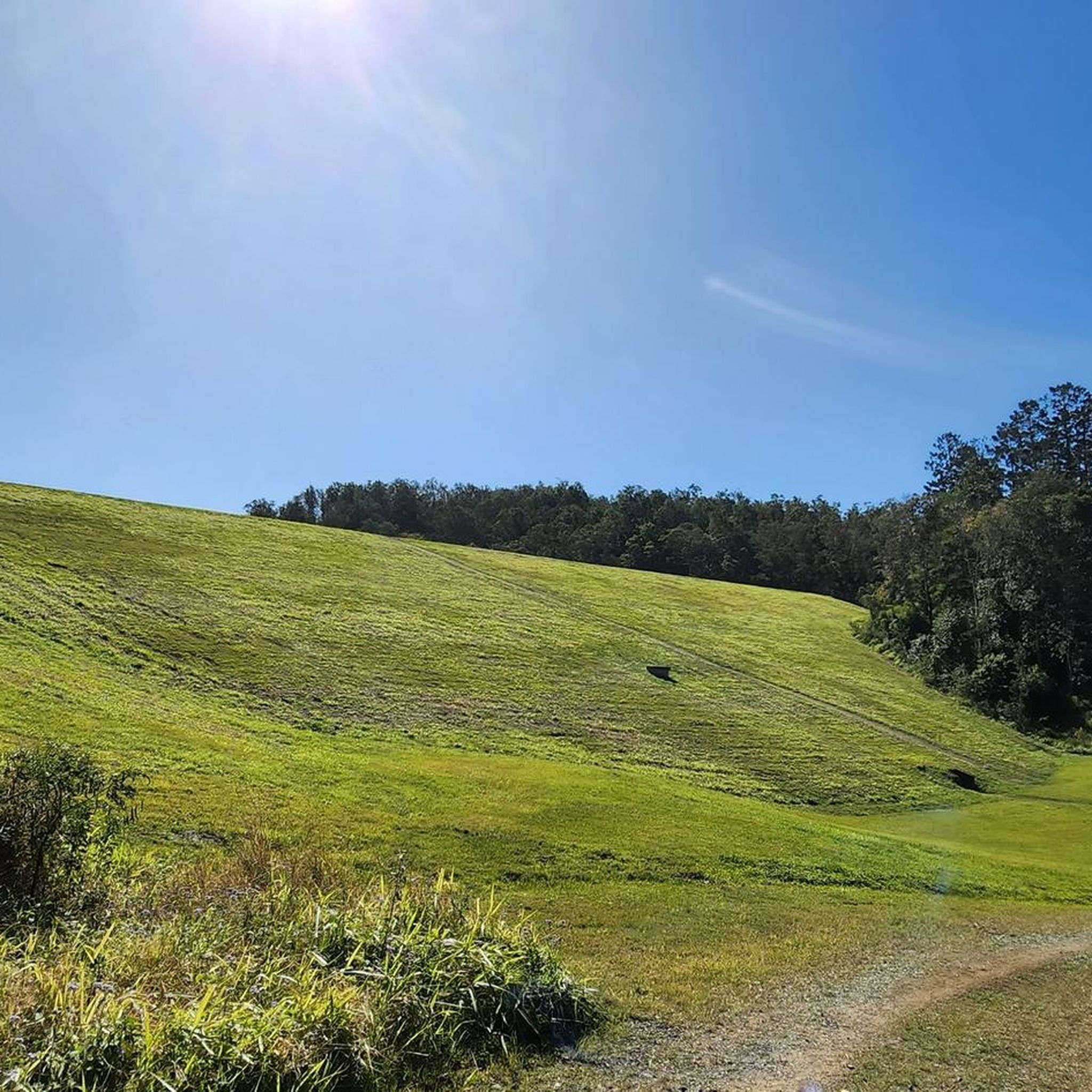
Gravel biking in Gold Creek Reservoir offers a network of trails within lush bushland and varied forest types, including tall eucalypts and dry rainforest. The terrain features fire trails, circuit tracks around the reservoir, and sections with challenging hills and steep climbs. Riders can experience waterfront views of the Gold Creek Dam, which is notable for its historical concrete stepped spillway. The area provides diverse landscapes for gravel cyclists, from rolling ridgelines to more demanding ascents.
Best gravel bike trails…
Last updated: November 13, 2026
50.5km
03:52
1,000m
1,000m
Hard gravel ride. Very good fitness required. Mostly paved surfaces.
17
riders
51.8km
03:29
1,010m
1,010m
Hard gravel ride. Very good fitness required. Mostly paved surfaces.

3.0
(1)
8
riders
Moderate gravel ride. Good fitness required. Mostly paved surfaces.
3.0
(1)
1
riders
11.2km
01:04
320m
320m
Moderate gravel ride. Good fitness required. Mostly paved surfaces.
Our route recommendations are based on thousands of hikes, rides, and runs completed by other people on komoot.
Start today with a free account
Your next adventure awaits.

Tips from the Community

The Lanita Rail Trail (also known as the Samford Cycle Link or part of the broader Ferny Grove to Samford Rail Trail) is a historic rail path that is shared by runners, walkers and bikers. It's paved and follows the old Dayboro branch railway line. The Lanita Rail Trail is just a 30-minute drive from the Brisbane Central Business District and feels like a nice escape into nature. Look out for railway cuttings and large earth embankments along the route as the path passes under eucalyptus trees that wild wallabies call home.
0
0
Kedron Creek passes under the Lanita Rail Trail and is a lively creek with ducks, herons, egrets, and kingfishers hanging out by the water's edge. It's scenic, surrounded by greenery and the bridge passing over it is very modern, looking like a wooden work of art.
0
0
Lanita Court transitions into the most western end of the Lanita Rail Trail at this point. A metal gate restricts vehicles from entering, and there is signage about the conservation area. This trackhead is just the end of a road and not an official parking area. It's best to park at the eastern end of the Lanita Rail Trail at the car park for Wahminda Park.
0
0

Cabbage Tree Creek flows through Brisbane’s northwestern suburbs, with a shaded corridor that provides habitat for native birds and other wildlife, and is a beautiful natural backdrop for the walking and cycling paths that follow much of the creek. Keep an eye out for rainbow lorikeets, honeyeaters, friarbirds, and you might even spot a heron quietly hunting along its banks.
0
0
Cabbage Tree Creek Bikeway is a lovely, sealed shared pathway that follows Cabbage Tree Creek through a mix of bushland reserves, parkland, and open green space. It’s a mostly flat route that crosses a series of bridges and boardwalks as it runs along local parks, playgrounds, and neighbouring suburbs, making it popular for walking, running, and cycling. This creekside path is a great way to enjoy a peaceful stroll and is a nice escape from the urban hustle.
0
0
Devils Break is a wide, multi-use doubletrack, climbing through thick eucalyptus forests. After heavy rain the track can become a bit washed out with some loose stones, but it's easy to follow even with a lack of signage. If tackling the track from south to north, there is a steep climb in the beginning, but take the track the opposite way, and there will be a steep descent.
0
0

Ring Road is the main access route through Bunyaville Conservation Park, linking picnic areas, trailheads, and shared forest tracks beneath a canopy of tall eucalypts. The unsealed road winds through dry woodland and shaded gullies, with regular access to walking trails, mountain bike routes, and picnic facilities along the way. Around The Gully picnic area, you’ll find toilets, drinking water, picnic tables, and easy access to several short bush tracks through the forest.
0
0
Samford Conservation Park includes a network of shared and specialised trails, with the main walking route being the Crebra Circuit—a short 900-metre Grade 3 loop that winds through ironbark forest from the Ironbark Gully picnic area. Beyond this, a more expansive system of multi-use trails (shared by walkers, horse riders, and cyclists) connects fire roads and forest tracks across the park, ideal for an extended walk with plenty of varied route options. There are also multiple designated mountain-bike-only trails, including Kombi, Bandicoot, and Sunset, offering purpose-built downhill and intermediate-to-difficult riding experiences within the park’s wider trail network.
0
0
Frequently Asked Questions
What kind of terrain can I expect on gravel bike trails in Gold Creek Reservoir?
The Gold Creek Reservoir area offers a diverse range of terrain suitable for gravel biking. You'll find a network of fire trails and circuit tracks around the reservoir, with sections featuring rolling ridgeline paths, challenging hills, and steep climbs and descents. The fire trails are generally well-marked and provide a good experience for gravel riders, passing through lush bushland and varied forest types.
Are there any family-friendly gravel biking options in Gold Creek Reservoir?
While many routes in Gold Creek Reservoir feature challenging hills and significant elevation changes, there are options that might be more suitable for families or those looking for a less strenuous ride. For example, the Hawkesbury Road Nature Refuge loop from Anstead is a moderate 7.0-mile (11.2 km) trail that leads through natural bushland, often completed in about 1 hour 15 minutes. It's always recommended to check the route details for elevation and distance to ensure it matches your family's ability.
What are some notable natural features or landmarks to look out for while cycling?
Gold Creek Reservoir is rich in natural beauty and historical significance. You can enjoy waterfront views of the reservoir, especially along the circuit tracks. The area is home to diverse ecosystems, including tall eucalypts and dry rainforests, and is a biodiversity hub with over 200 bird species, native fish, and even platypus. Historically, the Gold Creek Dam itself is a significant landmark, built in 1885, featuring the world's first concrete stepped spillway. You can find more historical details about the dam here.
How many gravel bike routes are available in Gold Creek Reservoir?
There are over 5 gravel bike routes available in Gold Creek Reservoir, ranging from moderate to difficult. These routes offer varied experiences through the region's bushland, with options for different ability levels.
Where can I park my car when visiting Gold Creek Reservoir for gravel biking?
Gold Creek Reservoir is easily accessible, located about 30 minutes west of Brisbane. There are bitumen roads leading directly to designated car parks within the day-use area, providing convenient access for cyclists.
Are there any cafes or places to get food and coffee near the trails?
Yes, the Brookfield General Store is mentioned as a worthwhile stop on the way to Gold Creek Reservoir, offering food and coffee. It's a good option for refreshments before or after your ride.
What do other gravel bikers enjoy most about cycling in Gold Creek Reservoir?
The area is highly rated by the komoot community, with an average score of 3.0 stars from over 2 reviews. Many riders appreciate the lush bushland, challenging hills, and scenic reservoir views. The diverse network of trails provides options for various skill levels, making it a popular choice for exploring the natural environment.
Can I connect to other trail networks from Gold Creek Reservoir?
Yes, the trail network at Gold Creek Reservoir connects to a significant system of trails that can extend to nearby areas like Lake Manchester and Enoggera Reservoir, offering even more varied terrain and longer riding opportunities for gravel cyclists.
What is the difficulty level of the gravel bike trails in Gold Creek Reservoir?
The gravel bike trails in Gold Creek Reservoir range from moderate to difficult. For instance, routes like Enoggera Reservoir loop from The Gap and AS0310 loop from Brookfield are classified as difficult, featuring significant elevation changes and extensive riding. There are also moderate options like the Hawkesbury Road Nature Refuge loop from Anstead.
What is the best time of year to go gravel biking in Gold Creek Reservoir?
The region research suggests that the Gold Creek Reservoir offers picturesque scenes, particularly in the late afternoon. While specific seasonal recommendations aren't detailed, the diverse natural environment can be enjoyed year-round. It's always advisable to check local weather conditions before heading out, especially after heavy rain, as the dam's spillway can be a sight to behold but trails might be affected.
Are there any long-distance gravel biking routes available?
Yes, Gold Creek Reservoir offers several longer routes for experienced gravel bikers. For example, the Wahminda Park Parking Area – View of the Countryside loop from Ferny Grove is a challenging 33.0-mile (53.2 km) route, and the Enoggera Reservoir loop from The Gap covers 30.4 miles (48.8 km), providing extensive riding through the region's varied bushland.
Most popular routes in Gold Creek Reservoir

Get inspired with the komoot mobile app


Explore more
Browse the best Gravel rides in other regions.
