The best walks and hikes around Northern Rockies
4.4
(5)
35
hikers
6
hikes
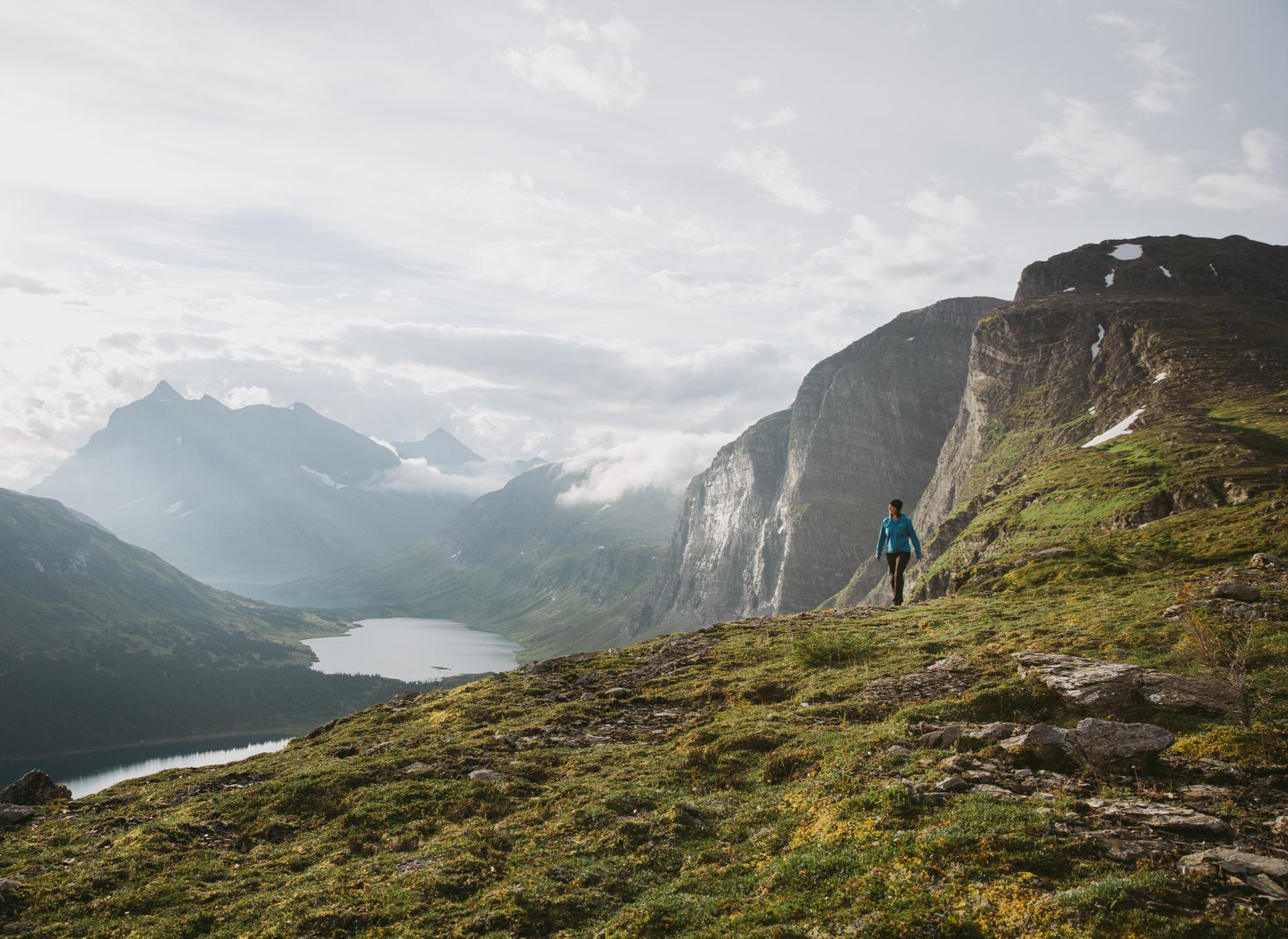
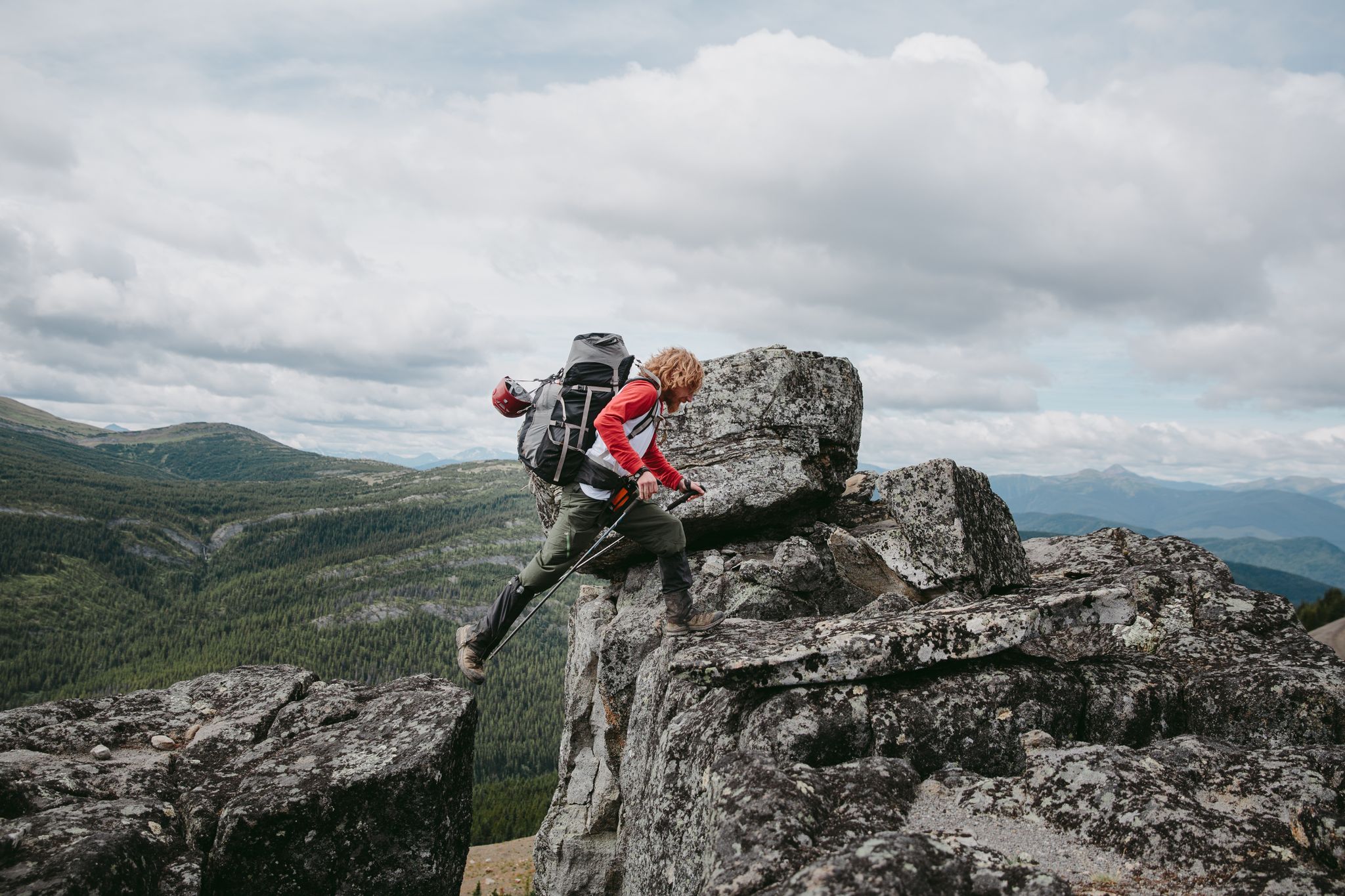
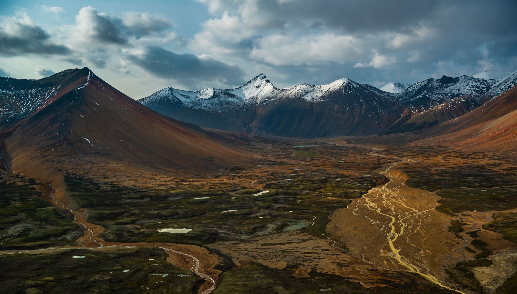
Hiking around Northern Rockies offers access to an expansive and rugged mountain range characterized by dramatic peaks, pristine wilderness, and diverse ecosystems. The region features towering mountain ranges, glacier-fed lakes, and extensive coniferous forests. Hikers can explore subalpine meadows and ancient rock formations, with elevations ranging from valley floors to alpine tundra. This vast area encompasses parts of British Columbia and Alberta, providing varied terrain for outdoor activities.
Best hiking trails around Northern Rockies
- The most popular hiking route is…
Last updated: June 27, 2026
4.0
(1)
9
hikers
4.44km
01:26
200m
200m
Easy hike. Great for any fitness level. Easily-accessible paths. Suitable for all skill levels.
11.9km
04:29
760m
760m
Moderate hike. Good fitness required. Easily-accessible paths. Suitable for all skill levels.

Sign up for free
4
hikers
1.06km
00:19
40m
30m
Easy hike. Great for any fitness level. Easily-accessible paths. Suitable for all skill levels.
3
hikers
1.40km
00:22
10m
10m
Easy hike. Great for any fitness level. Easily-accessible paths. Suitable for all skill levels.
4.8
(4)
20
hikers
12.0km
03:48
250m
250m
Moderate hike. Good fitness required. Mostly accessible paths. Sure-footedness required.
Our route recommendations are based on thousands of hikes, rides, and runs completed by other people on komoot.
Start today with a free account
Your next adventure awaits.
Login or Signup

Other adventures around Northern Rockies


Tips from the Community

The Liard River Hot Springs are large, turquoise natural pools fed by one of Canada’s hottest springs, with water temperatures up to 40–50°C at the source before cooling as the water flows out of it. It feels wild, but there are springs developed with beautiful wooden seating, shade structures, restrooms, and trash cans. The Alpha Pool is the most popular, and during some times of the year you can soak under the northern lights. Entry to the pools is very affordable as well.
0
0
The Hanging Gardens sit at the most northern end of the Liard Hot Springs Trail. It is a rare ecological phenomenon of thermal wetland where warm, mineral-rich water cascades over mossy, plant-covered formations that seem to “hang” from the earth. It is viewed from the lookout platform behind rails, as it's a fragile environment of plants thriving in the constant warmth and moisture.
0
0
The Liard Hot Springs Trail is a short, boardwalk path that passes through warm marshland and pockets of forest. The closer to the hot springs it gets, the thicker with grasses, moss, and rising steam it becomes. There are interpretive signs along the way, and possible wildlife sightings, like moose and bison.
0
0

Muncho Lake is considered one of the highlights along the Alaska Highway. The aquamarine blue, twelve-kilometer-long mountain lake shines like a jewel in the middle of the landscape. Its name comes from the language of the Kaska First Nation and means "big lake."
0
0
The Stone's Sheep Trail climbs gradually until the end of the marked trail. After that it becomes steeper, narrower and more difficult to traverse. You have a chance of seeing stone sheep near the cliffs.
0
0
Fantastic view at almost 2000 meters altitude.
0
0
Everything is still green: the tree line is clearly visible and begins just below 1500 meters.
0
0
After the hike, you can explore Summit Lake from a different perspective: from the water in a Canadian canoe or kayak. The starting point is the Summit Lake campground.
0
0
Frequently Asked Questions
What kind of hiking trails can I expect in the Northern Rockies?
The Northern Rockies offer a diverse range of hiking trails, from easy walks to more challenging multi-day treks. You'll find paths through thick coniferous forests, subalpine meadows, and trails leading to soaring summits and sparkling alpine lakes. The region is characterized by dramatic peaks, pristine wilderness, and varied ecosystems.
Are there any easy hiking trails suitable for beginners or families?
Yes, the Northern Rockies have several easy trails perfect for beginners or families. For instance, the Stone's Sheep Trail – Muncho Lake Provincial Park is an easy 4.4 km route offering views of Muncho Lake's distinctive jade-colored waters. Another short and easy option is the Mineral Lick Trail – Muncho Lake Provincial Park, a 1.1 km path through forested areas.
What are some moderate hiking options for more experienced hikers?
For those seeking a moderate challenge, the Summit Lake Trail and Summit Peak Trail – Stone Mountain Provincial Park is a popular choice. This 11.9 km path ascends to provide panoramic views of the surrounding mountain landscape. Another moderate option is the longer Summit Lake loop from Summit Lake, which covers nearly 12 km.
What are the best seasons for hiking in the Northern Rockies?
The best season for hiking in the Northern Rockies is generally from late spring through early autumn (June to September). During these months, trails are typically free of snow, and subalpine meadows burst with wildflowers. However, conditions can vary, and higher elevations may retain snow longer. Winter hiking is possible but requires specialized gear and experience.
Are there any trails with notable viewpoints or scenic attractions?
Many trails in the Northern Rockies offer spectacular views. The Stone's Sheep Trail provides excellent views of Muncho Lake's unique jade-colored waters. For panoramic mountain vistas, the Summit Lake Trail and Summit Peak Trail offers expansive scenery from its higher elevations.
What kind of wildlife might I encounter while hiking?
The Northern Rockies are home to abundant wildlife. Hikers might spot elk, moose, mountain goats, and bighorn sheep. Bears are also present, so it's essential to be bear-aware and carry bear spray. Always maintain a safe distance and never feed wildlife.
Are there any circular hiking routes available?
Yes, there are circular routes to explore. For example, the Summit Lake loop from Summit Lake offers a moderate 12 km circular hike, allowing you to experience diverse scenery without retracing your steps. There's also a shorter, easy Summit Lake loop of about 4.6 km.
What do other hikers say about the trails in the Northern Rockies?
The trails in the Northern Rockies are highly rated by the komoot community, with an average score of 4.4 stars from over 5 reviews. Hikers often praise the stunning natural beauty, the sense of wilderness, and the variety of trails available for different skill levels.
Are permits required for hiking in the Northern Rockies?
While many trails in provincial parks like Muncho Lake and Stone Mountain Provincial Parks do not require specific hiking permits for day use, some areas within the broader Northern Rockies region, especially within National Parks (like Banff or Jasper, which are part of the larger Rocky Mountains system), may require park passes or backcountry permits for overnight stays. It's always best to check the specific park or protected area regulations before you go. For general information on the region's parks, you can visit Tourism Northern Rockies.
What should I wear and bring for a hike in the Northern Rockies?
Given the varied terrain and potential for changing weather, it's advisable to dress in layers, wear sturdy hiking boots, and bring rain gear. Essential items include plenty of water, snacks, a map and compass or GPS device, a first-aid kit, sun protection, and bear spray. Always inform someone of your hiking plans.
Are there opportunities for multi-day backpacking trips?
Yes, the Northern Rockies are renowned for extensive wilderness areas like the Northern Rocky Mountains Provincial Park and Protected Area, which is British Columbia's third-largest provincial park. These areas offer significant opportunities for multi-day backpacking and remote adventures, though they often require advanced planning, self-sufficiency, and experience.
Can I access hiking trails using public transport?
Public transport options to trailheads in the more remote parts of the Northern Rockies are generally limited. Most visitors rely on personal vehicles to reach trailheads, especially for trails within provincial parks like Muncho Lake or Stone Mountain. Some larger national parks in the broader Rocky Mountains might offer shuttle services to popular trailheads during peak season, but this is less common in the immediate Northern Rockies region.
Most popular routes around Northern Rockies
Most popular attractions around Northern Rockies

Get inspired with the komoot mobile app


Explore more
Browse the best Hikes in other regions.
