The best road cycling routes around Lacs de Crupillouse
5.0
(1)
26
riders
2
rides
Road cycling around Lacs de Crupillouse features routes through mountainous terrain with significant elevation changes. The region is characterized by high-altitude climbs and descents, often passing through areas like the Écrins National Park. Cyclists can expect varied landscapes, including alpine valleys and challenging ascents to mountain resorts.
Best road cycling routes around Lacs de Crupillouse
- The most popular road cycling route is Serre Eyraud – Climb to Orcières-Merlette loop from Les Borels, a 25.0 miles (40.3 km) trail that…
Last updated: May 12, 2026
6
riders
13.3km
01:00
480m
480m
Moderate road ride. Good fitness required. Mostly well-paved surfaces and easy to ride.
5.0
(1)
11
riders
79.6km
04:25
1,710m
1,710m
Hard road ride. Very good fitness required. Mostly well-paved surfaces and easy to ride.

Sign up for free
3
riders
39.6km
02:10
690m
690m
Moderate road ride. Good fitness required. Mostly well-paved surfaces and easy to ride.
6
riders
96.9km
05:11
1,930m
1,930m
Hard road ride. Very good fitness required. Mostly well-paved surfaces and easy to ride.
Our route recommendations are based on thousands of hikes, rides, and runs completed by other people on komoot.
Start today with a free account
Your next adventure awaits.
Login or Signup
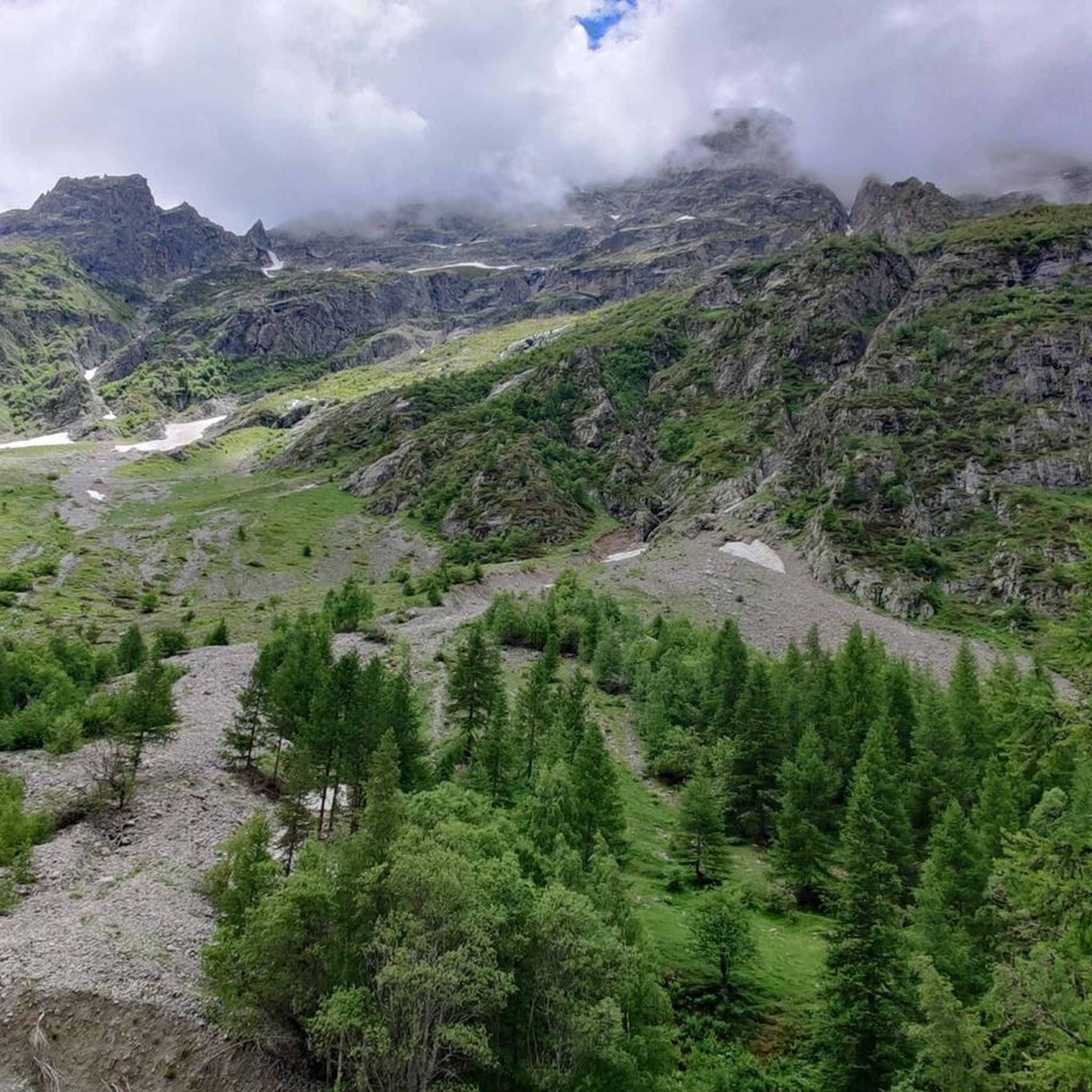
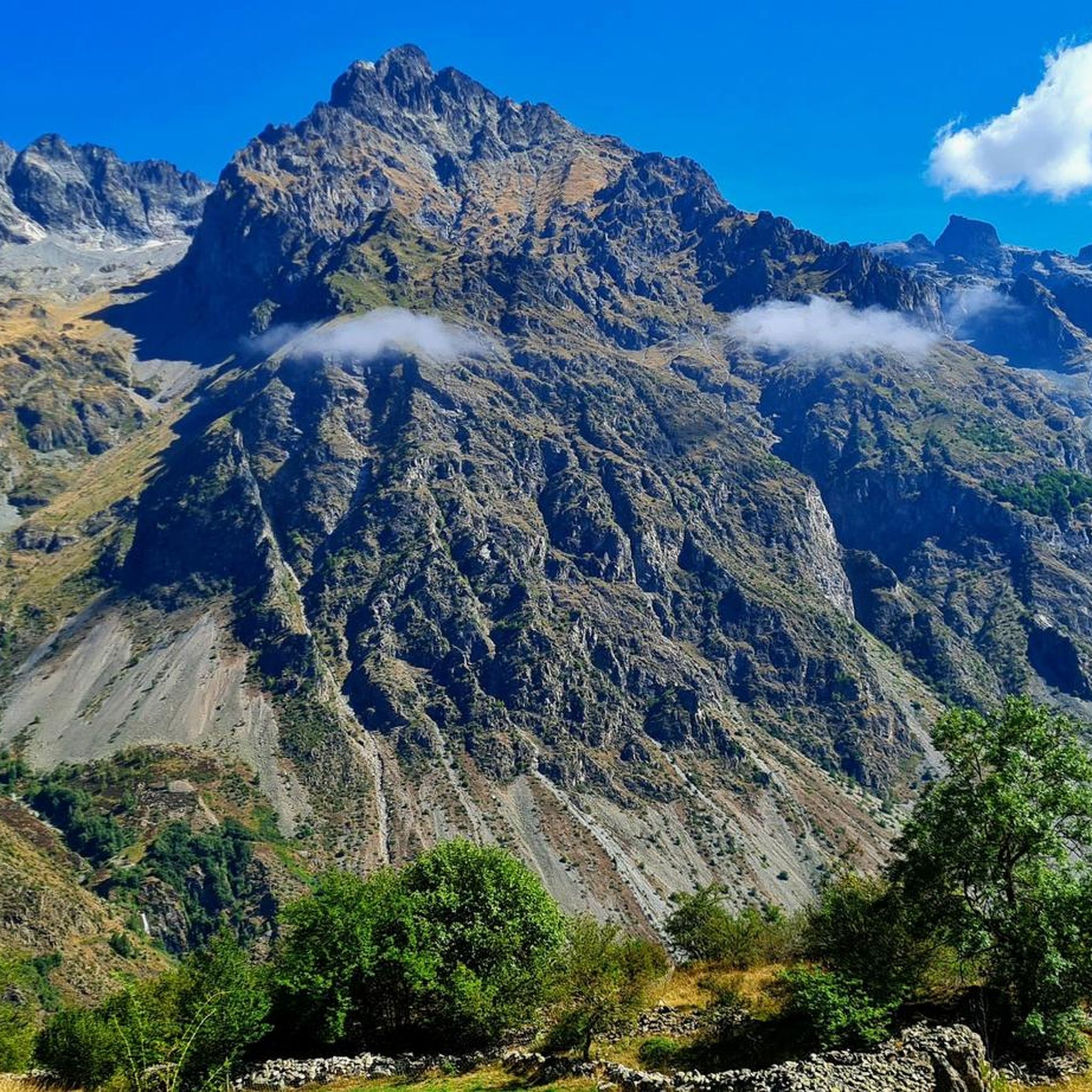
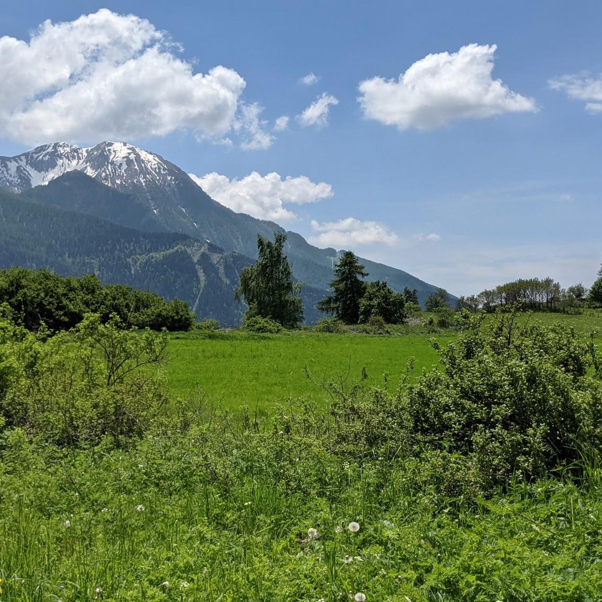
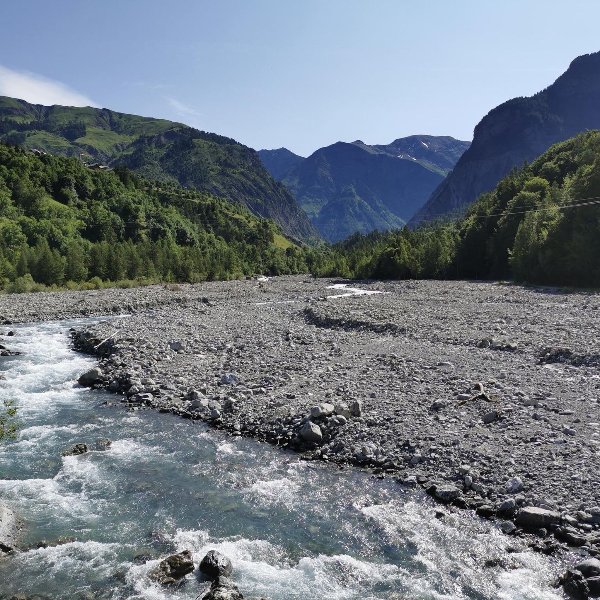

Tips from the Community

It's an ideal starting point for the hike. There is a shelter to have a snack, and it's a few minutes from the Sainte-Luce farm. In spring it's a known spot for flowers and particularly daffodils.
0
0

coffee, tea, pastries, cakes, ice cream, toilets, water and a warm welcome
0
0


By bike it's a beautiful climb without too many people (worth seeing in summer anyway) with superb open landscapes
0
0


A climb with gentle slopes.
16
0
Village Isere, on the Route Napoleon, Corps takes place in the heart of the Dauphiné, eighty kilometers from Grenoble. This ancient medieval town is located on the border of the Hautes-Alpes, in the southern Alps, about 40 km from Gap and close to Saint-Firmin, Aspres-lès-Corps and Ambel.
28
0
Frequently Asked Questions
What kind of road cycling routes can I expect around Lacs de Crupillouse?
The Lacs de Crupillouse region offers road cycling routes primarily through mountainous terrain, characterized by significant elevation changes. You'll find high-altitude climbs and descents, often passing through areas like the Écrins National Park, with varied landscapes including alpine valleys and challenging ascents to mountain resorts.
Are there any moderate road cycling routes suitable for intermediate riders?
Yes, there are moderate options available. For instance, the Bridal Veil Waterfall loop from Le Bourg is an 8.1-mile (13.1 km) path with notable elevation gain, offering a scenic ride. Another moderate route is At the heart of the Écrins National Park - Drac Blanc, Drac Noir, which covers about 39.6 km with 688 meters of elevation gain.
Where can I find challenging road bike climbs in the Lacs de Crupillouse area?
The region is known for its challenging climbs. The Serre Eyraud – Climb to Orcières-Merlette loop from Les Borels is a difficult 25.0-mile (40.3 km) route with over 1100 meters of ascent towards the Orcières-Merlette resort. For an even longer and more demanding ride, consider the Parquetout Pass – Parquetout Pass loop from Villar-Loubière, which features nearly 2000 meters of climbing over 96.9 km.
What is the best time of year for road biking around Lacs de Crupillouse?
Given the mountainous terrain and high-altitude climbs, the best time for road biking around Lacs de Crupillouse is typically during the warmer months, from late spring through early autumn (June to September). This period generally offers more stable weather conditions and clear mountain passes, though it's always wise to check local forecasts before heading out.
Are there any circular road bike routes available?
Yes, many of the routes in the region are designed as loops. For example, the popular Serre Eyraud – Climb to Orcières-Merlette loop from Les Borels is a circular route. Another option is the La Chaup – Corps loop from La Chapelle-en-Valgaudémar, which takes you through alpine valleys.
What are the distances and elevations for road bike routes in Lacs de Crupillouse?
Routes vary significantly in length and elevation. You can find shorter, moderate rides like the Bridal Veil Waterfall loop from Le Bourg at 13.1 km with 474 meters of ascent. Longer, more challenging options include the La Chaup – Corps loop from La Chapelle-en-Valgaudémar, which is 79.6 km with over 1700 meters of climbing, or the Parquetout Pass – Parquetout Pass loop from Villar-Loubière, spanning nearly 97 km with over 1900 meters of elevation gain.
What do other road cyclists say about the routes in Lacs de Crupillouse?
The road cycling routes in Lacs de Crupillouse are highly rated by the komoot community, with an average score of 4.8 stars from 3 reviews. Cyclists often praise the challenging mountain passes, the scenic beauty of the alpine valleys, and the rewarding high-altitude climbs.
Are there any specific scenic viewpoints along the road cycling routes?
Many routes in the Lacs de Crupillouse region offer stunning vistas due to their mountainous nature. Routes passing through Écrins National Park, such as At the heart of the Écrins National Park - Drac Blanc, Drac Noir, provide panoramic views of alpine landscapes. The climb towards Orcières-Merlette on the Serre Eyraud – Climb to Orcières-Merlette loop from Les Borels also offers expansive mountain scenery.
What should I wear for road cycling in Lacs de Crupillouse, considering the weather?
Due to the significant elevation changes and mountainous environment, weather can be unpredictable. It's advisable to dress in layers, even in summer, to adapt to varying temperatures. Always carry a waterproof and windproof jacket, as conditions can change rapidly, especially at higher altitudes. Sun protection is also crucial.
Are there options for road cycling in the summer months?
Summer is an excellent time for road cycling in Lacs de Crupillouse. The higher mountain passes are typically clear of snow, and the weather is generally more favorable for tackling the region's challenging climbs and enjoying the alpine scenery. However, be prepared for potential afternoon thunderstorms, which are common in mountainous areas.
Are there any routes that pass by waterfalls or other natural features?
Yes, the Bridal Veil Waterfall loop from Le Bourg is a moderate route specifically designed to pass by a scenic waterfall, offering a beautiful natural highlight during your ride.
How many road cycling routes are available in the Lacs de Crupillouse region?
There are several road cycling routes available in the Lacs de Crupillouse region, with komoot featuring 5 distinct tours. These routes cater to various difficulty levels, from moderate to difficult, ensuring options for different cycling preferences.
Most popular routes around Lacs de Crupillouse

Get inspired with the komoot mobile app


Explore more
Browse the best Road cycling routes in other regions.
