The best MTB trails around Lacs de Crupillouse
4.6
(11)
89
riders
6
rides
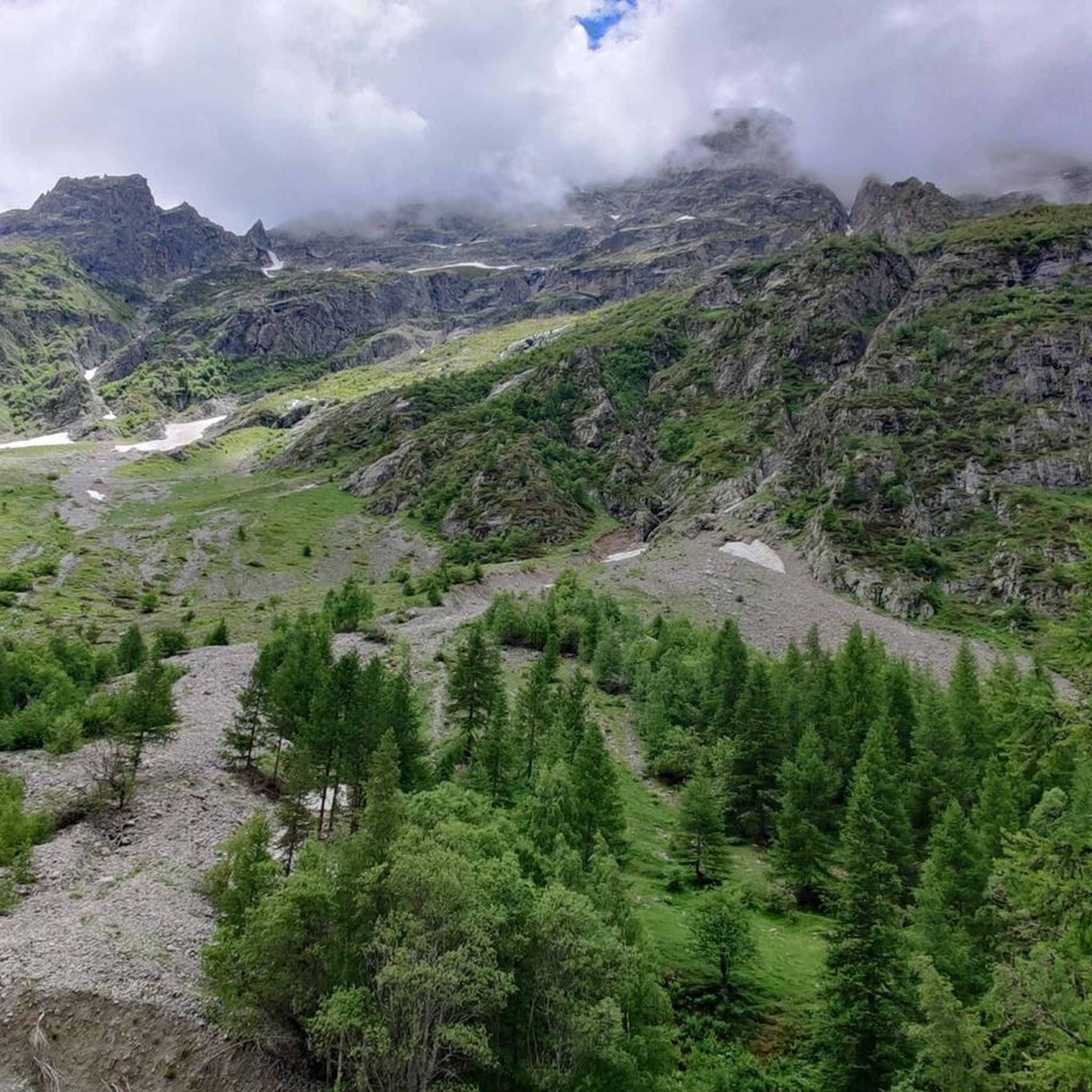
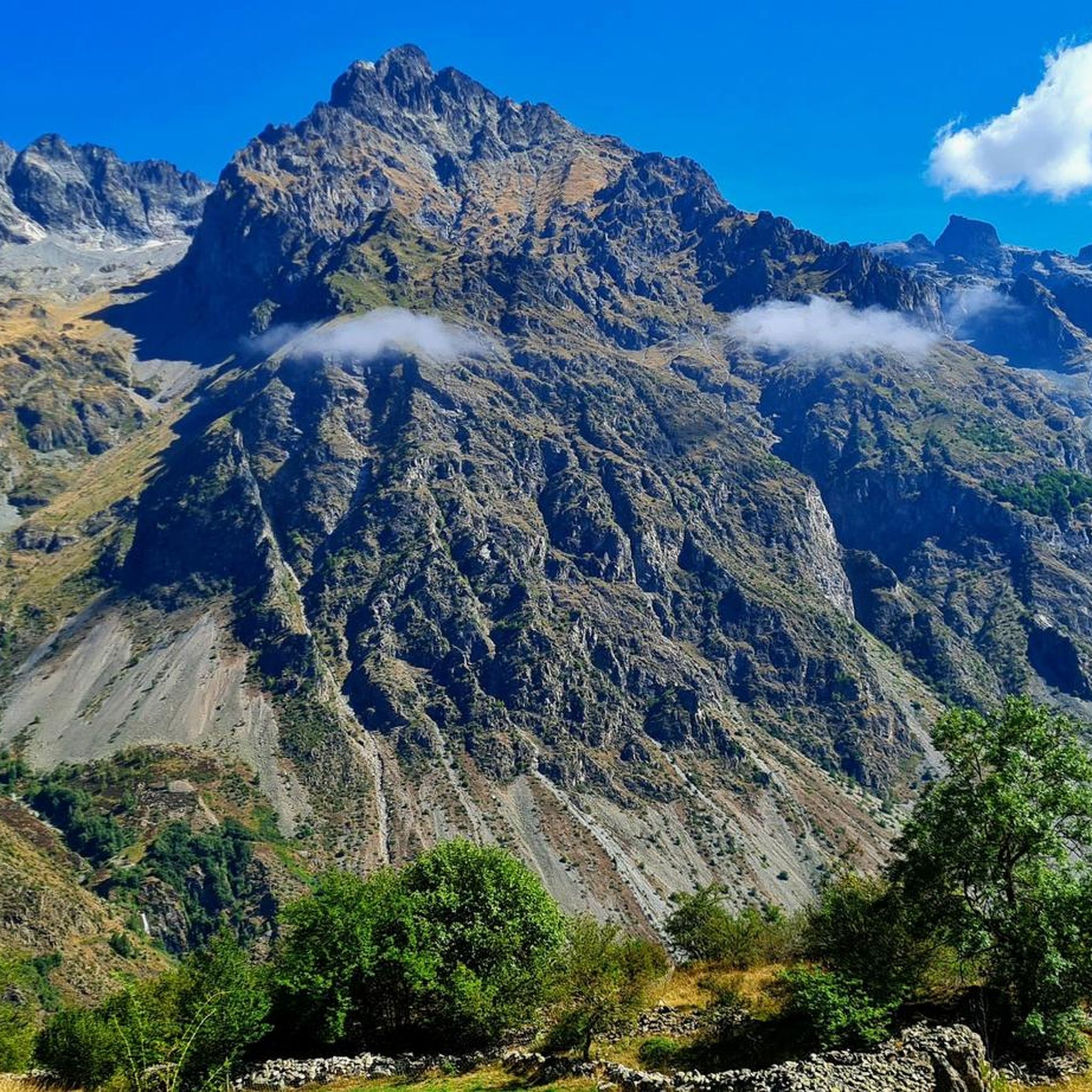
Mountain bike trails around Lacs de Crupillouse are situated within a high-altitude alpine environment, characterized by ancient glacial cirques and distinctive white-pink gneiss rocks. While the immediate area of Lacs de Crupillouse is known for challenging hiking, the broader Hautes-Alpes region, including the nearby Champsaur and Valgaudemar valleys, offers extensive mountain biking opportunities. The terrain features significant elevation changes, with routes traversing valleys, forests, and mineral settings.
Best mountain bike trails around Lacs de Crupillouse
- The most popular mountain bike…
Last updated: May 13, 2026
5.0
(2)
17
riders
34.6km
03:07
970m
970m
Hard mountain bike ride. Very good fitness required. Suitable for all skill levels.
4.2
(5)
31
riders
Hard mountain bike ride. Good fitness required. Advanced riding skills necessary. Some portions of the route may require you to push your bike.

Sign up for free
17
riders
Hard mountain bike ride. Good fitness required. Advanced riding skills necessary. Some portions of the route may require you to push your bike.
5.0
(1)
9
riders
Hard mountain bike ride. Good fitness required. Advanced riding skills necessary. Some portions of the route may require you to push your bike.
6
riders
Hard mountain bike ride. Great for any fitness level. Advanced riding skills necessary. Some portions of the route may require you to push your bike.
Our route recommendations are based on thousands of hikes, rides, and runs completed by other people on komoot.
Start today with a free account
Your next adventure awaits.
Login or Signup


Tips from the Community


Nestled at an altitude of 1,650 meters, the Gioberney refuge is located at the end of the Valgaudemar valley. Its parking lot is often popular with hikers during peak season. The views from the terrace are superb and overlook a beautiful waterfall.
1
0
Villar-Loubière is a small picturesque village located above the Séveraisse. The village is overlooked by the Chastelas cliff. It is the entry point to the high peaks of Valgaudemar.
0
0
Built in 1811, the Herbeys canal allows the cultivation of the Aubessagne plateau, which was formerly arid and not very fertile. The canal is 28 kilometers long and uses water from the Séveraisse. The setting is bucolic.
0
0
This wooden bridge spans the Drac. This small tributary of the Isère originates in the Champoléon valley.
0
0

It is nice to see such an old watermill. You can even go inside where they have displayed some old machinery which were used to make flour and oil from nuts and seeds
1
0
Frequently Asked Questions
How many mountain bike trails are available around Lacs de Crupillouse?
There are 6 mountain bike trails documented on komoot for the Lacs de Crupillouse area. All of these routes are classified as difficult, offering a challenge for experienced riders.
Are there any easy or family-friendly mountain bike trails near Lacs de Crupillouse?
The trails directly around Lacs de Crupillouse are all rated as difficult, featuring significant elevation changes and rugged terrain, making them less suitable for beginners or families with young children. However, the broader Hautes-Alpes region offers a wider range of trails, some of which are more accessible in surrounding valleys.
What kind of terrain can I expect on mountain bike trails in this region?
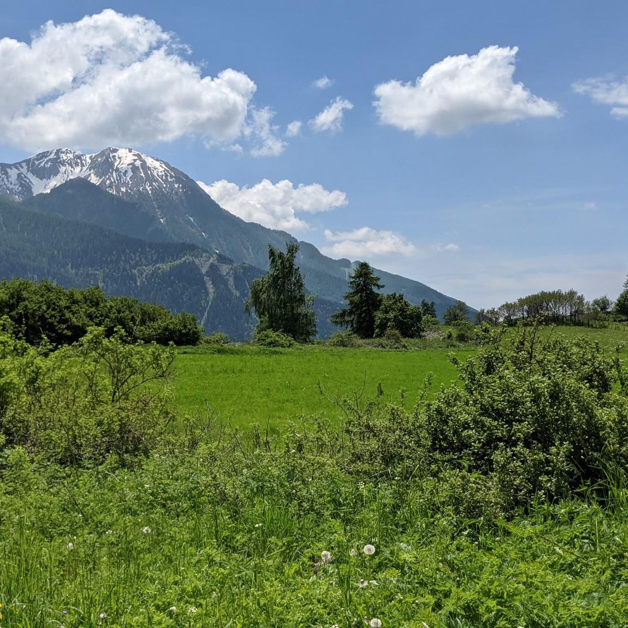
The terrain around Lacs de Crupillouse is characterized by a high-altitude alpine environment, ancient glacial cirques, and distinctive white-pink gneiss rocks. You'll encounter significant elevation changes, with routes traversing valleys, forests, and dramatic mineral settings. The broader Hautes-Alpes region offers diverse landscapes, including larch forests and mountain pastures.
Are there any circular mountain bike routes available?
Yes, several routes in the area are loops. For example, you can explore the Champoléon valley on the Wooden bridge over the Drac – Merlette loop from Champoléon, or ride through the Valgaudemar valley on the Along the Séveraisse – Sentier des Herbeys loop from La Chapelle-en-Valgaudémar. Another option is The Chapel of Valgaudemar – Refuge du Gioberney loop from La Chapelle-en-Valgaudémar.
What are the typical distances and durations for mountain bike trails here?
The mountain bike trails in this area vary in length and duration. For instance, the Wooden bridge over the Drac – Merlette loop from Champoléon is about 34.6 km (21.5 miles) and takes around 3 hours 7 minutes. A longer option, the Along the Séveraisse – Sentier des Herbeys loop from La Chapelle-en-Valgaudémar, covers 39.6 km (24.6 miles) with a duration of approximately 3 hours 36 minutes.
What do other mountain bikers say about the trails around Lacs de Crupillouse?
The mountain bike routes in this area are highly rated by the komoot community, with an average score of 4.6 stars from over 11 reviews. Mountain bikers often praise the challenging nature of the trails and the stunning alpine scenery.
Are there any specific rules or restrictions for mountain biking in the Écrins National Park?
Lacs de Crupillouse is located within the Écrins National Park. While specific mountain biking rules for the immediate area are not detailed, national parks often have regulations regarding trail access, environmental protection, and wildlife disturbance. It's always advisable to check the official Écrins National Park guidelines before your ride to ensure compliance and respect for the natural environment.
What kind of wildlife might I encounter while mountain biking?
The pristine environment supports diverse wildlife. You might spot chamois resting in grasslands, and ibex can be found higher up in the Aiguilles de Crupillouse during summer. The Rock Ptarmigan, known for its camouflage, also breeds in the sector of the lakes. Always maintain a respectful distance from any wildlife you encounter.
Are there any trails that offer panoramic views?
The high-altitude environment around Lacs de Crupillouse offers panoramic views, especially across Champoléon. Many of the difficult trails, by their nature of gaining significant elevation, will reward riders with expansive vistas of the alpine landscape and surrounding valleys. The The Chapel of Valgaudemar – Panoramic view of the valley loop from La Chapelle-en-Valgaudémar specifically highlights a panoramic view.
What is the best time of year to mountain bike near Lacs de Crupillouse?
Given the high-altitude alpine environment, the best time for mountain biking is typically during the warmer months, from late spring to early autumn, when trails are free of snow and ice. Early in the season, some higher sections might still have snow. Always check local trail conditions before heading out.
Are there any mountain bike routes that follow a river or feature waterfalls?
Yes, the region's glacial history means water features are prominent. The Along the Séveraisse – Sentier des Herbeys loop from La Chapelle-en-Valgaudemar follows the Séveraisse river through the Valgaudemar valley. The ascent to the lakes themselves, while primarily a hiking route, involves following waterfalls through a dramatic mineral setting, indicating the presence of such features in the broader area.
Where can I find parking for mountain bike trails in the area?
Specific parking details vary by trailhead. For routes starting from Champoléon or La Chapelle-en-Valgaudémar, you can typically find parking in or near these villages. It's recommended to check the individual route details on komoot for precise starting points and parking information.
Most popular routes around Lacs de Crupillouse

Get inspired with the komoot mobile app


Explore more
Browse the best MTB trails in other regions.
