
The best running trails around Saint-Oradoux-Près-Crocq
11
runners
4
runs
Jogging routes Saint-Oradoux-Près-Crocq traverse a landscape characterized by hilly terrain and diverse natural features in the Creuse department. The region offers varied and engaging running routes, often following river systems like the Tardes, an affluent of the Cher. Joggers can explore areas such as the Drouille Forest, which features the Rochers de Saint-Julien, and pass by communal grazing areas enclosed by dry stone walls. These trails provide a mix of natural beauty and historical points of interest for runners.
Best…
Last updated: July 3, 2026
3
runners
9.56km
01:00
100m
100m
Moderate run. Good fitness required. Mostly paved surfaces. Suitable for all skill levels.
2
runners
14.0km
01:36
170m
170m
Moderate run. Good fitness required. Mostly paved surfaces. Suitable for all skill levels.

Sign up for free
2
runners
6.41km
00:42
70m
70m
Moderate run. Good fitness required. Mostly paved surfaces. Suitable for all skill levels.
1
runners
6.20km
00:40
100m
100m
Moderate run. Good fitness required. Mostly paved surfaces. Suitable for all skill levels.
2
runners
9.07km
01:03
120m
120m
Moderate run. Good fitness required. Mostly accessible paths. Some sure footedness required.
Our route recommendations are based on thousands of hikes, rides, and runs completed by other people on komoot.
Start today with a free account
Your next adventure awaits.
Login or Signup
Popular around Saint-Oradoux-Près-Crocq
Frequently Asked Questions
How many running routes are available in Saint-Oradoux-Près-Crocq?
There are 5 dedicated running routes around Saint-Oradoux-Près-Crocq listed on komoot, all offering a moderate challenge through the region's diverse landscapes.
What is the typical difficulty level of running trails in this area?
All the running routes currently listed for Saint-Oradoux-Près-Crocq are rated as moderate. They offer varied terrain suitable for runners with some experience, featuring hilly sections and natural paths.
What kind of landscape can I expect on jogging routes around Saint-Oradoux-Près-Crocq?
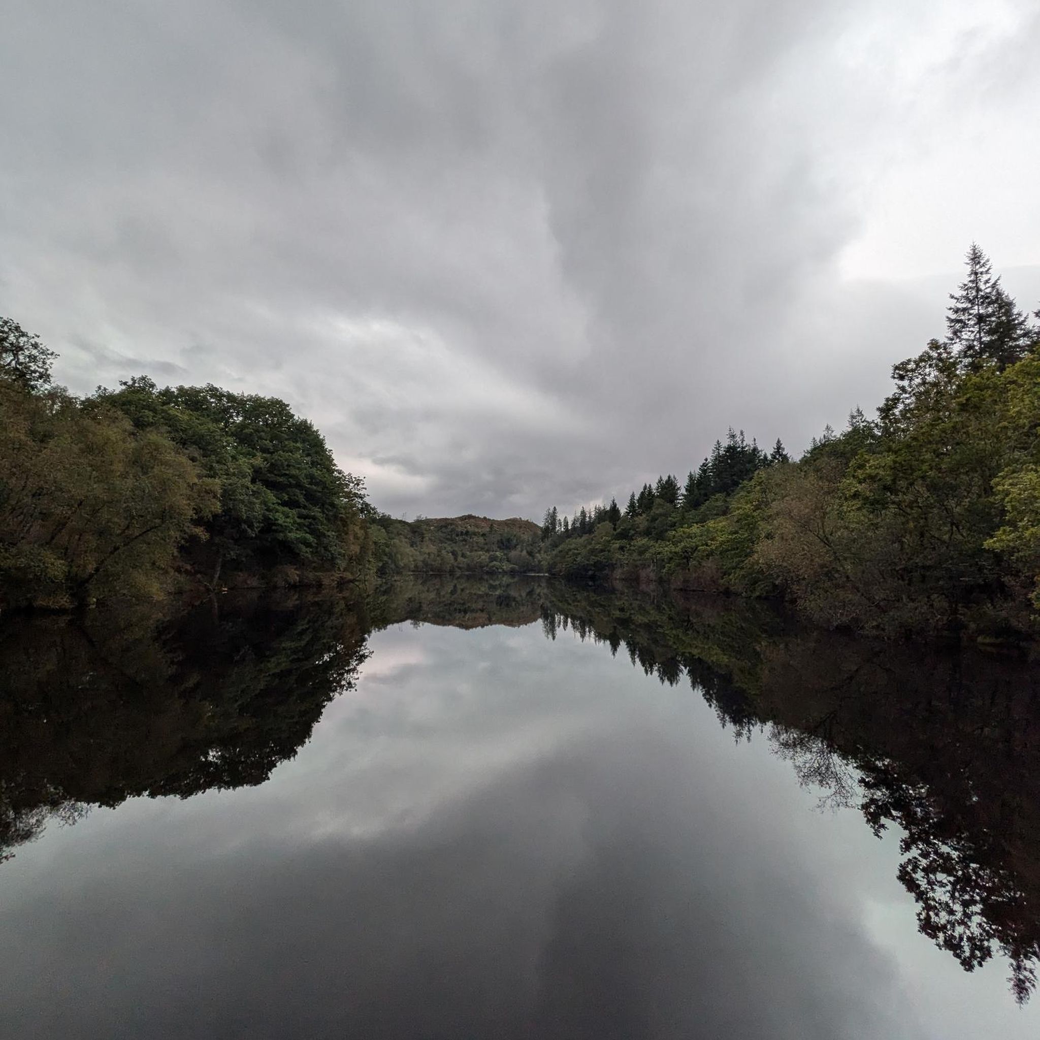
The region is characterized by its hilly terrain and picturesque natural surroundings. You can expect to run through dense woodlands like the Drouille Forest, along river systems such as the Tardes, and past communal grazing areas enclosed by traditional dry stone walls.
Are there any scenic viewpoints or natural landmarks to discover while running?
Yes, several routes offer scenic views and pass by natural landmarks. For instance, the Drouille Forest is home to the Rochers de Saint-Julien. You might also encounter highlights like the Saint-Georges Nigremont Promontory or the Gorges de la Rozeille, which provide beautiful natural backdrops for your run.
Are there any running routes that follow rivers or water features?
Yes, the region's river systems are a prominent feature. Many routes, such as the historic "le chemin du chanvre," trace the Tardes river, an affluent of the Cher. This allows runners to enjoy views of the river and sometimes even old mills that once processed hemp fabrics.
What are some historical or cultural points of interest I might see on a run?
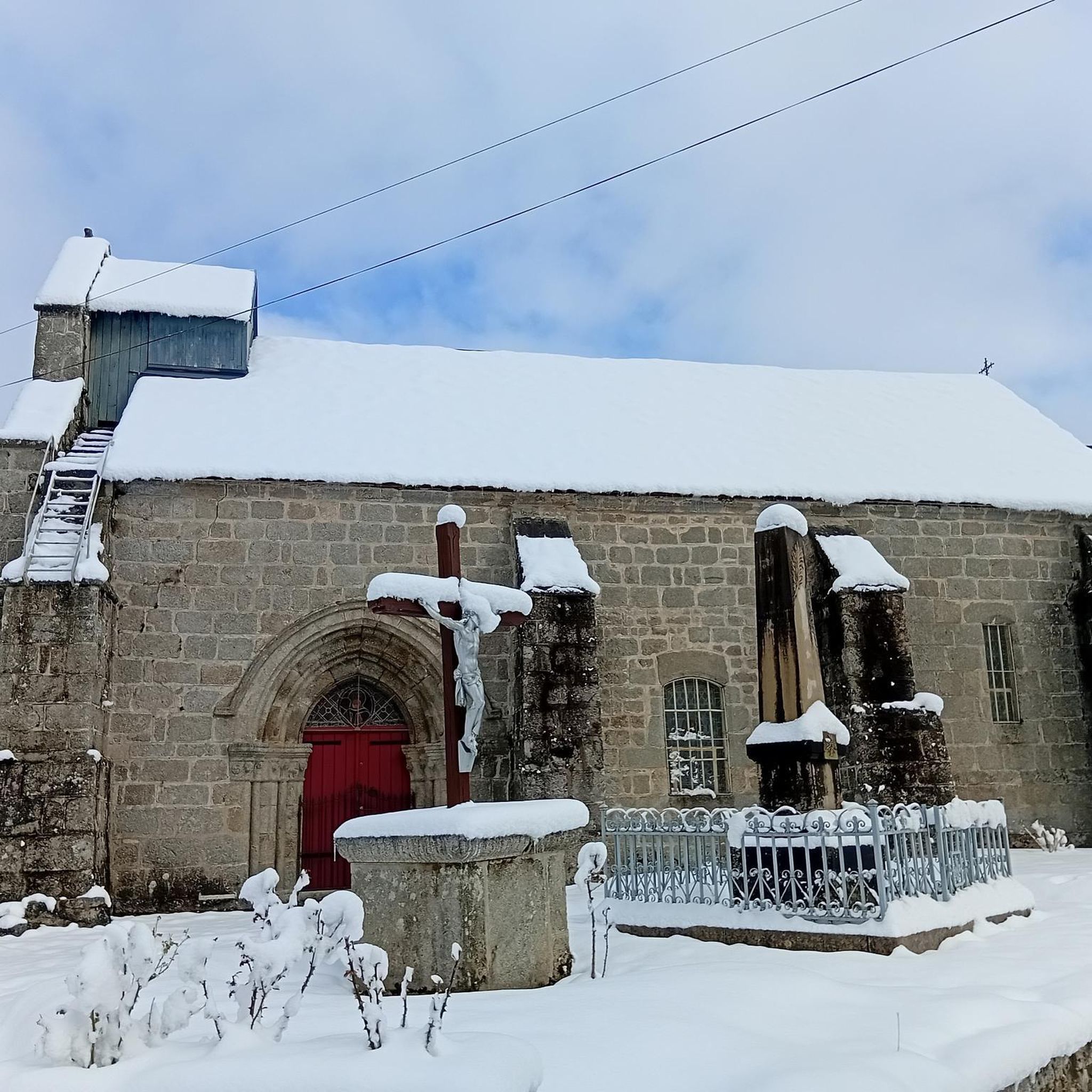
While running, you might pass by the historic clocher-mûr (bell tower wall) of a 12th-century church in Saint-Oradoux-Près-Crocq itself. Additionally, the nearby town of Crocq features vestiges of a 12th-century chateau, offering panoramic views of the Limousin and Auvergne regions.
Are there any circular running routes available?
Yes, all the running routes listed in this guide are circular. Examples include the Running loop from Le Chassain and the Running loop from Sainte-Feyre-la-Montagne, allowing you to start and finish at the same point.
What do other runners say about the trails in Saint-Oradoux-Près-Crocq?
The running routes in Saint-Oradoux-Près-Crocq are highly rated by the komoot community, with an average score of 3.0 stars. Over 14 runners have used komoot to explore the varied terrain, appreciating the engaging and picturesque natural surroundings.
Is there parking available near the running trails?
While specific parking details for each route are best checked on the individual komoot tour pages, many trailheads in rural areas like Saint-Oradoux-Près-Crocq typically offer roadside parking or small designated areas. For routes like "le chemin du chanvre," local information suggests parking availability in the village.
What is the best season for running in Saint-Oradoux-Près-Crocq?
The diverse landscapes of Saint-Oradoux-Près-Crocq make it suitable for running across multiple seasons. Spring and autumn offer pleasant temperatures and vibrant scenery. Summer provides shaded routes through forests, while winter runs can be beautiful, though some trails might be muddy depending on recent rainfall.
Are there any longer running routes for more experienced runners?
Yes, for those seeking a longer challenge, the Running loop from Giat is an excellent option. It covers 8.6 miles (13.8 km) and typically takes about 1 hour 35 minutes to complete, leading through varied terrain.
Are there any shorter, easier running options for beginners or a quick jog?
While all routes are currently rated moderate, shorter options are available. The Étang de la Guise loop from Mérinchal is 6.4 km (4 miles) and the Château de Villefort loop from Sainte-Feyre-la-Montagne is 6.2 km (3.9 miles), both offering a less demanding distance while still providing a good workout.
Most popular attractions around Saint-Oradoux-Près-Crocq

Get inspired with the komoot mobile app


Explore more
Browse the best Running Trails & Routes in other regions.
