The best running trails around Saint-Étienne-Des-Champs
5.0
(4)
43
runners
13
runs
Jogging routes Saint-Étienne-Des-Champs traverse a landscape characterized by rolling hills and river valleys, offering varied terrain for runners. The region features a mix of open countryside and wooded areas, with routes often following natural watercourses like the Sioulet. Elevation changes are moderate, providing a good workout without extreme climbs.
Best jogging routes around Saint-Étienne-Des-Champs
- The most popular jogging route is Along the Sioulet - trail loop starting from Pontaumur, a 9.0 miles (14.5 km) trail that takes 1 hour…
Last updated: July 3, 2026
5.0
(1)
9
runners
14.5km
01:47
290m
280m
Moderate run. Good fitness required. Mostly paved surfaces. Suitable for all skill levels.
4
runners
12.2km
01:19
160m
160m
Moderate run. Good fitness required. Mostly paved surfaces. Suitable for all skill levels.

Sign up for free
2
runners
8.83km
01:04
140m
140m
Moderate run. Good fitness required. Mostly paved surfaces. Suitable for all skill levels.
3
runners
10.6km
01:15
240m
240m
Moderate run. Good fitness required. Mostly paved surfaces. Suitable for all skill levels.
2
runners
14.0km
01:36
170m
170m
Moderate run. Good fitness required. Mostly paved surfaces. Suitable for all skill levels.
Get access to more routes and recommendations from other explorers.
Sign up for free
Already have an account?
Our route recommendations are based on thousands of hikes, rides, and runs completed by other people on komoot.
Start today with a free account
Your next adventure awaits.
Login or Signup
Tips from the Community

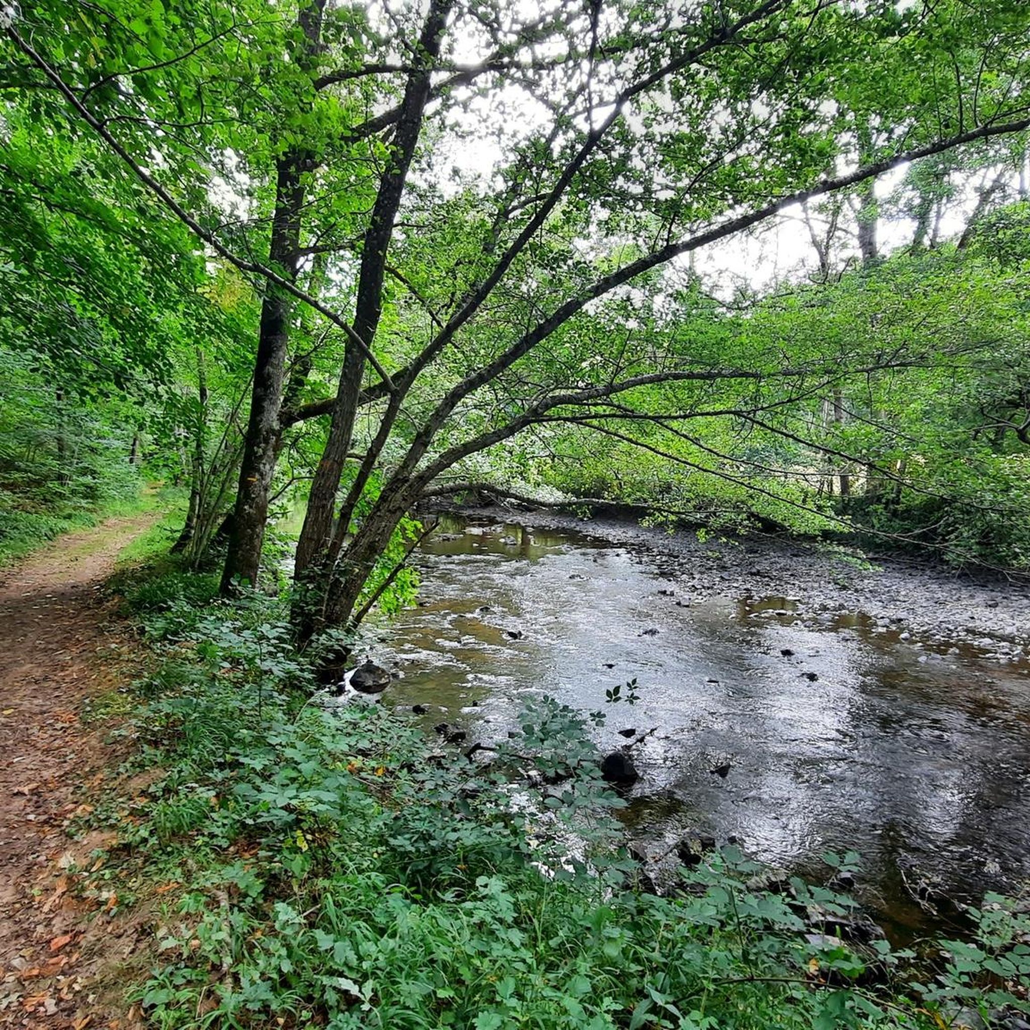
Nice pedestrian bridge over the Sioulet (tributary of the Sioule)
0
0
Very close to Pontaumur, the Sioulet gorges are an ideal wild place for nature lovers.
0
0
The ford on this stream can be bypassed via the bridge located just next to it.
1
0
Frequently Asked Questions
How many running routes are available in Saint-Étienne-Des-Champs?
There are over 10 dedicated running routes around Saint-Étienne-Des-Champs, offering a variety of experiences for different fitness levels. The komoot community has explored these trails more than 40 times.
Are there any beginner-friendly jogging routes in the area?
While most routes are classified as moderate, many are suitable for beginners looking for a good workout without extreme climbs. The region's rolling hills offer a gentle challenge. For a moderate introduction, consider the Running loop from Pontaumur, which is just under 8 km.
Can I find circular running routes in Saint-Étienne-Des-Champs?
Yes, many of the running paths in Saint-Étienne-Des-Champs are circular, allowing you to start and finish at the same point. Examples include the popular Along the Sioulet - trail loop starting from Pontaumur and the Running loop from Rozet.
Are the jogging trails in Saint-Étienne-Des-Champs dog-friendly?
Generally, the rural trails and open countryside around Saint-Étienne-Des-Champs are suitable for running with dogs, provided they are kept under control, especially near livestock or in protected natural areas. Always check local regulations and ensure your dog is well-behaved around other trail users.
What kind of terrain can I expect on the running routes?
The terrain is characterized by a mix of rolling hills, river valleys, open countryside, and wooded areas. Routes often follow natural watercourses like the Sioulet river, providing varied surfaces from dirt paths to gravel tracks. Elevation changes are moderate, offering a good workout.
Are there any running routes with good viewpoints?
Given the region's rolling hills and open countryside, many routes offer scenic viewpoints. The Running loop from Puy-Saint-Gulmier, for instance, provides elevated sections that are likely to offer expansive views of the surrounding landscape.
What do other runners say about the trails in Saint-Étienne-Des-Champs?
The running routes in Saint-Étienne-Des-Champs are highly rated by the komoot community, with an average score of 5.0 stars from 4 reviews. Runners often praise the varied terrain, the peaceful natural surroundings, and the well-maintained paths along rivers and through woodlands.
Are there family-friendly running options in Saint-Étienne-Des-Champs?
For families looking to run together, routes with moderate difficulty and shorter distances are ideal. The Running loop from Cisternes-la-Forêt, at 8.8 km through forested areas, could be a good option for active families, offering a pleasant and manageable distance.
Is public transport available to access the running trails?
Saint-Étienne-Des-Champs is a rural area, and public transport options directly to trailheads might be limited. It's generally recommended to access the routes by car, especially for those starting from smaller villages like Rozet or Cisternes-la-Forêt. Some routes, like those starting from Pontaumur, might have more accessible transport links to larger towns.
Are there parking facilities near the running routes?
Yes, most running routes that start from villages or towns like Pontaumur, Rozet, or Cisternes-la-Forêt will have public parking available. It's advisable to check the specific starting point of your chosen route for the most convenient parking options.
What is the best time of year for running in Saint-Étienne-Des-Champs?
Spring and autumn generally offer the most pleasant conditions for running, with mild temperatures and beautiful scenery as the landscape changes. Summer can also be enjoyable, especially in the mornings or evenings, though some trails might be more exposed to the sun. Winter running is possible, but trails may be muddy or icy, requiring appropriate gear.
Are there any cafes or places to refuel near the running trails?
Many running routes start or pass through small villages such as Pontaumur, Rozet, or Cisternes-la-Forêt. These villages often have local cafes, bakeries, or small shops where you can grab a drink or a snack before or after your run. It's a good idea to check opening times, especially in smaller communities.
Most popular routes around Saint-Étienne-Des-Champs

Get inspired with the komoot mobile app


Explore more
Browse the best Running Trails & Routes in other regions.
