The best walks and hikes around Saint-Étienne-Des-Champs
4.6
(35)
164
hikers
31
hikes
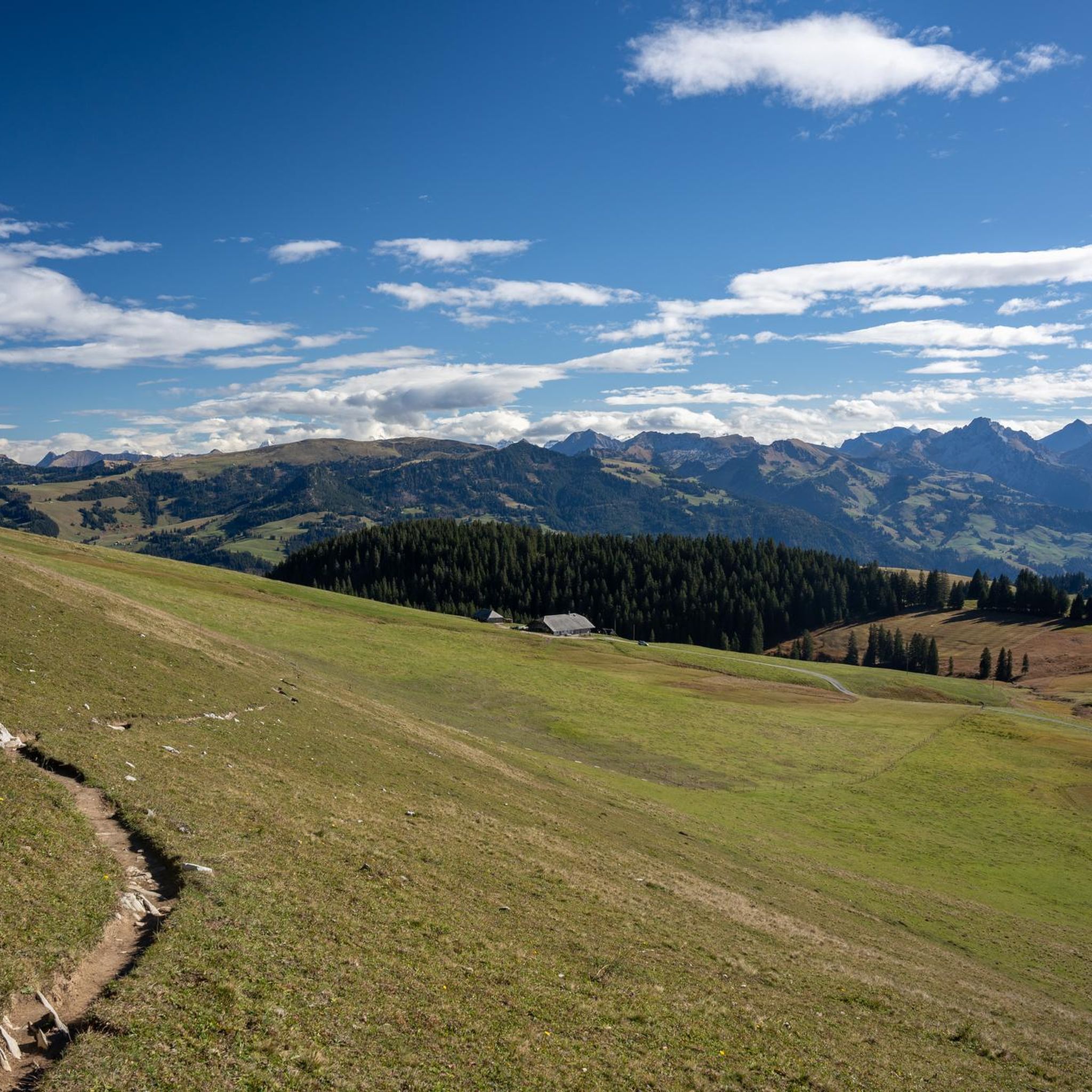
Hiking around Saint-Étienne-Des-Champs offers access to the diverse natural landscapes of the Combrailles region, characterized by extensive rural paths, meadows, and woodlands. The area features river valleys, such as the Sioulet and Saunade, and provides panoramic views of the Sancy Massif and the Chaîne des Puys from elevated points. Terrain includes varied paths through preserved nature and some volcanic features.
Best hiking trails around Saint-Étienne-Des-Champs
- The most popular hiking route is La Rodde loop from La Rodde, a 7.3…
Last updated: July 3, 2026
4.0
(3)
12
hikers
11.8km
03:17
230m
230m
Moderate hike. Good fitness required. Easily-accessible paths. Suitable for all skill levels.
5.0
(1)
10
hikers
15.7km
04:13
180m
180m
Moderate hike. Good fitness required. Easily-accessible paths. Suitable for all skill levels.

Sign up for free
5.0
(1)
12
hikers
7.53km
02:05
130m
130m
Moderate hike. Good fitness required. Easily-accessible paths. Suitable for all skill levels.
5.0
(1)
4
hikers
12.3km
03:21
180m
180m
Moderate hike. Good fitness required. Easily-accessible paths. Suitable for all skill levels.
4.5
(2)
6
hikers
6.02km
01:37
70m
70m
Easy hike. Great for any fitness level. Easily-accessible paths. Suitable for all skill levels.
Get access to more routes and recommendations from other explorers.
Sign up for free
Already have an account?
Our route recommendations are based on thousands of hikes, rides, and runs completed by other people on komoot.
Start today with a free account
Your next adventure awaits.
Login or Signup

Tips from the Community

Due to the rainy work, a photo was missed. Apologies for that.
0
0
Frequently Asked Questions
How many hiking trails are available around Saint-Étienne-Des-Champs?
There are over 30 hiking routes around Saint-Étienne-Des-Champs, offering a diverse range of experiences through the Combrailles region. These include options for various difficulty levels, from easy strolls to more challenging moderate hikes.
What kind of landscapes can I expect to see on hikes in Saint-Étienne-Des-Champs?
Hikes around Saint-Étienne-Des-Champs showcase the varied natural landscapes of the Combrailles region. You'll encounter extensive rural paths, lush meadows, dense woodlands, and picturesque river valleys like the Sioulet and Saunade. Many trails also offer panoramic views of the Sancy Massif and the Chaîne des Puys, with some featuring volcanic scenery.
Are there easy hiking options suitable for beginners or families in Saint-Étienne-Des-Champs?
Yes, Saint-Étienne-Des-Champs offers several easy hiking options. There are 7 easy routes available. For example, the Hiking loop from Condat-en-Combraille is a pleasant 4.4-mile (7.1 km) trail through meadows and woodlands, typically completed in under two hours, making it ideal for a relaxed outing.
Are there any circular hiking routes in the area?
Many of the trails around Saint-Étienne-Des-Champs are circular, allowing you to start and end at the same point. A popular example is the La Rodde loop from La Rodde, which is 7.3 miles (11.8 km) and offers varied terrain through the Combrailles countryside.
What are some notable viewpoints or natural features to look out for on the trails?
The region is rich in natural beauty and viewpoints. You can find stunning 360° panoramas of the Combrailles and the Chaîne des Puys along trails like "La Saunade" starting from Landogne. The area also features beautiful viewpoints of the Sioulet river and the Puy de Dôme, and trails exploring the Sioulet valley with varied routes through meadows and woods.
What do other hikers enjoy most about hiking in Saint-Étienne-Des-Champs?
The hiking experiences in Saint-Étienne-Des-Champs are highly rated by the komoot community, with an average score of 4.5 stars from over 30 reviews. Hikers often praise the preserved nature, the extensive network of rural paths, and the diverse terrain that includes river valleys, meadows, and woodlands.
Are there any longer or more challenging hikes available?
While most trails are moderate, there are options for longer hikes. The Saint-Barthélémy Church – Motte Castrale de Giat loop from Giat is a moderate 9.9-mile (15.9 km) path that explores the wider region through rural landscapes, offering a more extended adventure.
Is Saint-Étienne-Des-Champs a good destination for wildlife spotting?
The preserved nature of the Combrailles region, with its mix of woodlands, meadows, and river valleys, provides a habitat for various wildlife. While specific sightings depend on luck and time of day, the quiet rural paths offer opportunities for observing local flora and fauna in their natural environment.
Are there any trails that pass by ponds or water features?
Yes, the region features several ponds and river systems. The Tyx Pond loop from Saint-Avit-d'Auvergne is a moderate 7.6-mile (12.3 km) hike that takes you around a scenic pond, offering pleasant views and a refreshing atmosphere.
What is the best time of year to go hiking in Saint-Étienne-Des-Champs?
The Combrailles region is beautiful throughout much of the year. Spring and autumn offer pleasant temperatures and vibrant colors, making them ideal for hiking. Summer is also popular, though some trails might be more exposed to the sun. Winter hiking is possible, but conditions can vary, so checking local weather is always recommended.
Are there any trails that are particularly good for experiencing the volcanic scenery of the region?
While Saint-Étienne-Des-Champs itself is not directly on volcanic peaks, the wider Combrailles region offers trails with volcanic influences. For instance, the "La Butte du Puy Saint-Gulmier" trail, starting from Puy-Saint-Gulmier, provides panoramic views from a basalt plateau, showcasing the volcanic scenery of the Sancy Massif and the Chaîne des Puys.
Most popular routes around Saint-Étienne-Des-Champs

Get inspired with the komoot mobile app


Explore more
Browse the best Hikes in other regions.
