The best gravel rides around Brangues
4.7
(15)
94
riders
6
rides
Gravel biking around Brangues offers diverse landscapes within the Southern Bugey region, characterized by rolling hills, picturesque valleys, and a mix of forests. The area is defined by its proximity to the Rhône River, providing scenic routes along its banks. The Méandre du Saugey, a National Natural Reserve, adds unique river ecosystems to the terrain. This varied topography, including gentle paths and ascents, makes it suitable for gravel biking.
Best gravel bike trails around Brangues
- The most popular gravel bike…
Last updated: November 2, 2026
4.5
(2)
29
riders
39.2km
01:59
200m
200m
Moderate gravel ride. Good fitness required. Mostly paved surfaces.
5.0
(7)
39
riders
Moderate gravel ride. Good fitness required. Mostly paved surfaces.

4.0
(2)
8
riders
33.0km
02:04
200m
190m
Moderate gravel ride. Good fitness required. Mostly paved surfaces.
5.0
(1)
6
riders
Easy gravel ride. Mostly paved surfaces.
5.0
(1)
8
riders
61.6km
03:37
490m
490m
Hard gravel ride. Very good fitness required. Mostly paved surfaces.
Our route recommendations are based on thousands of hikes, rides, and runs completed by other people on komoot.
Start today with a free account
Your next adventure awaits.
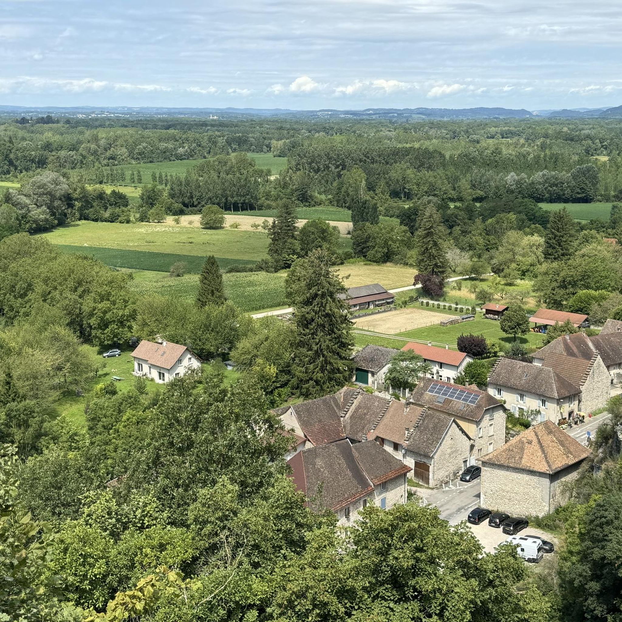
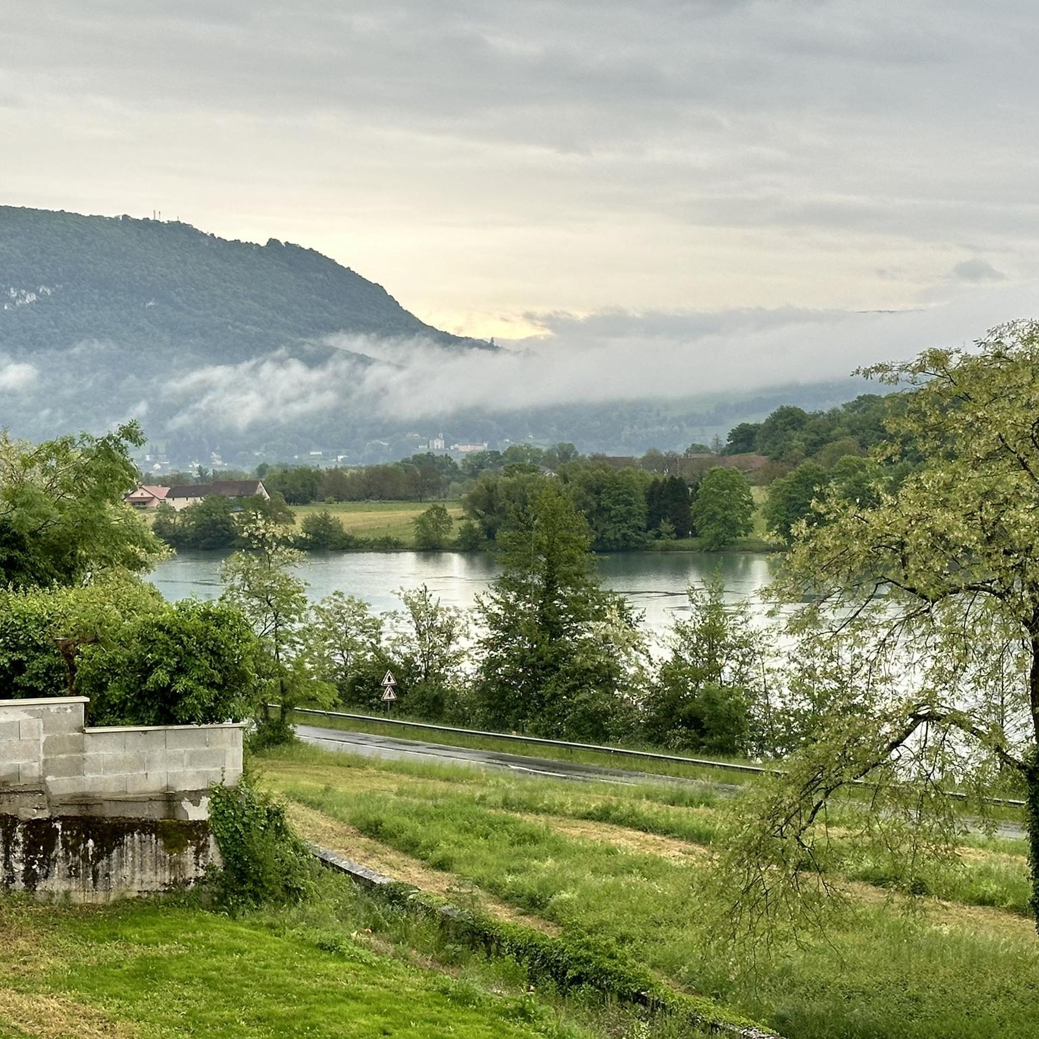
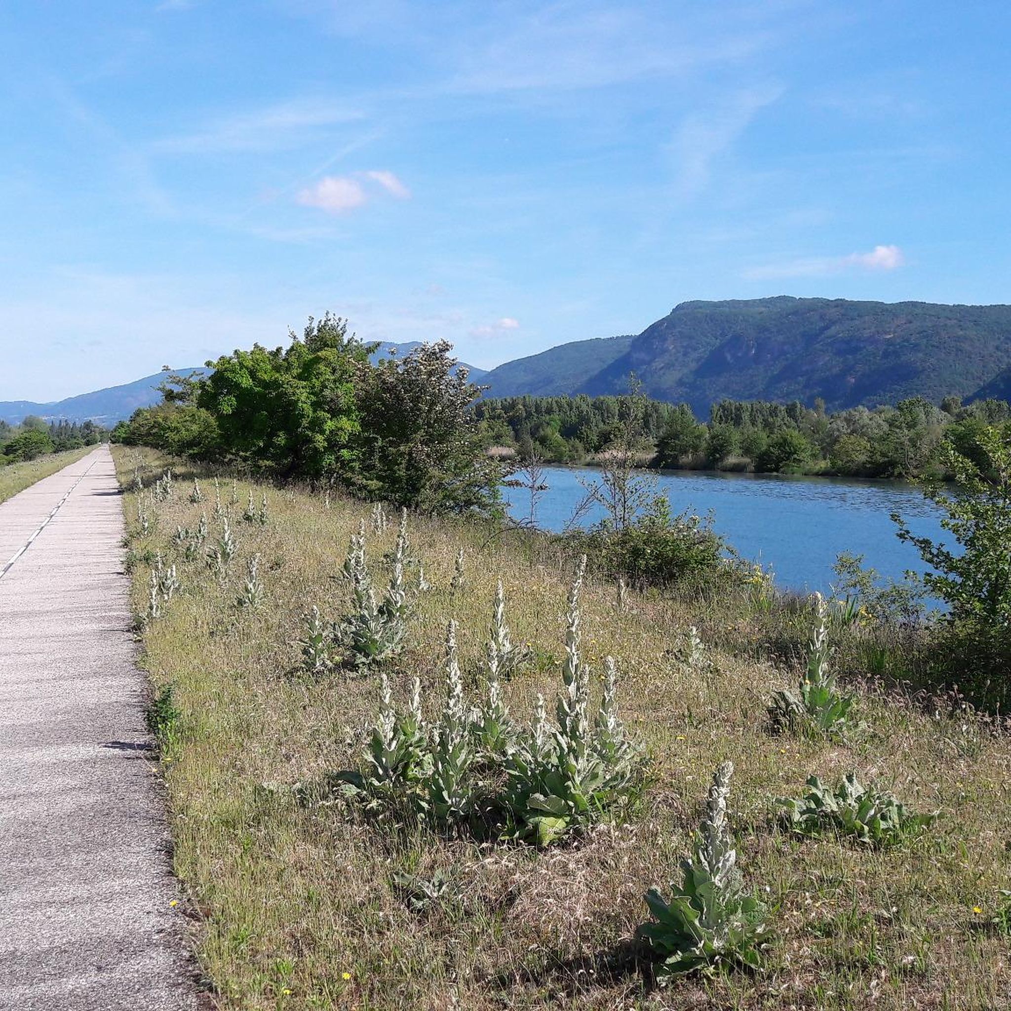


Tips from the Community

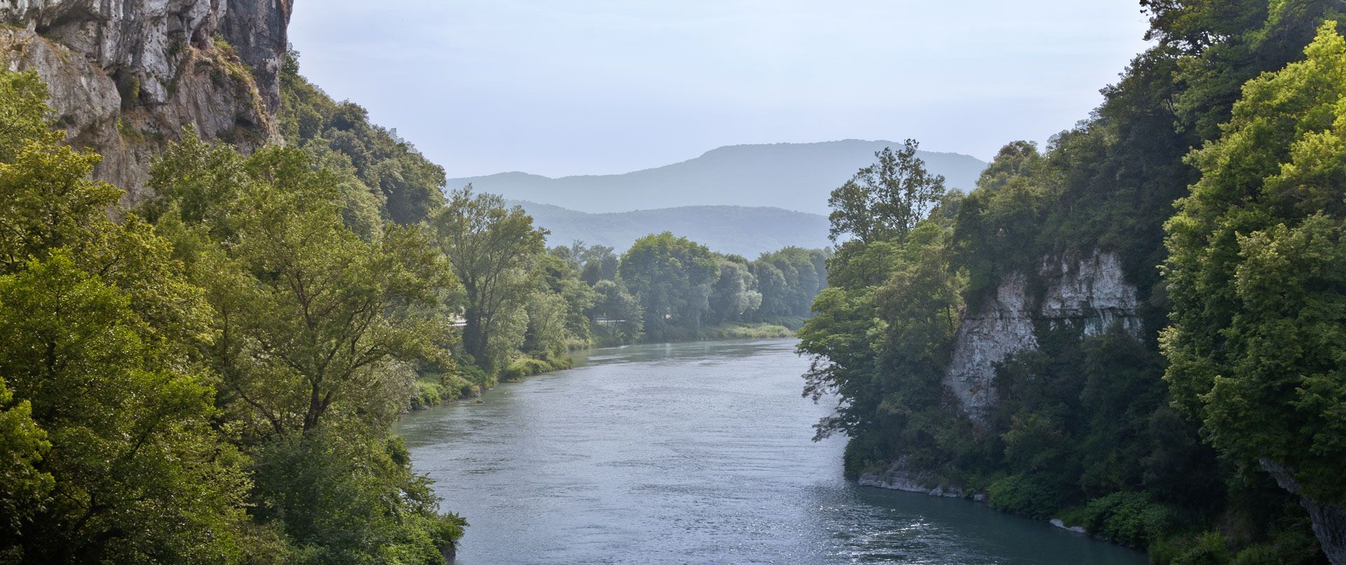
The trail runs along the Guiers river to its confluence with the Rhône, on the edge of Savoie.
0
0
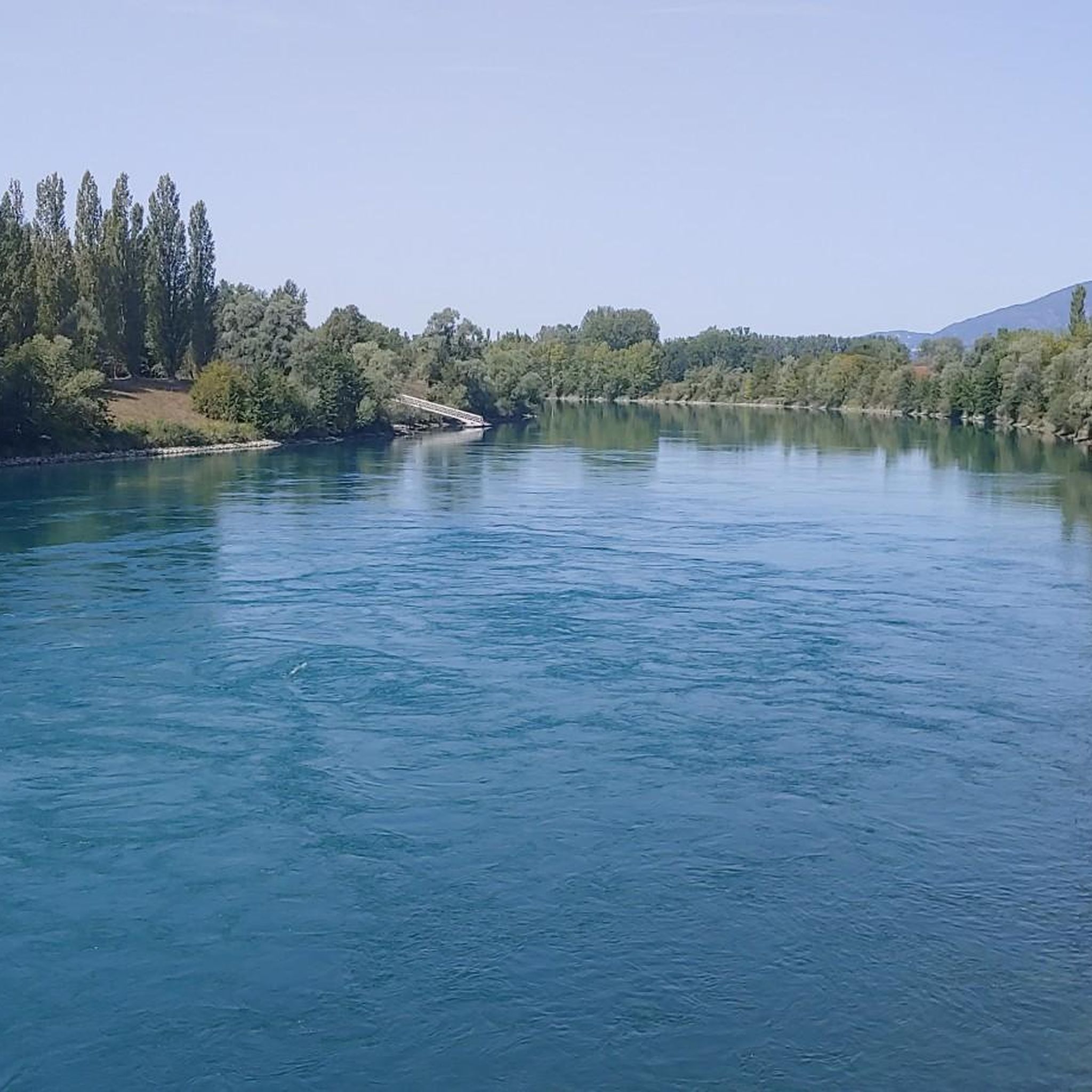
The trail runs along the Guiers river to its confluence with the Rhône, on the edge of Savoie.
0
0
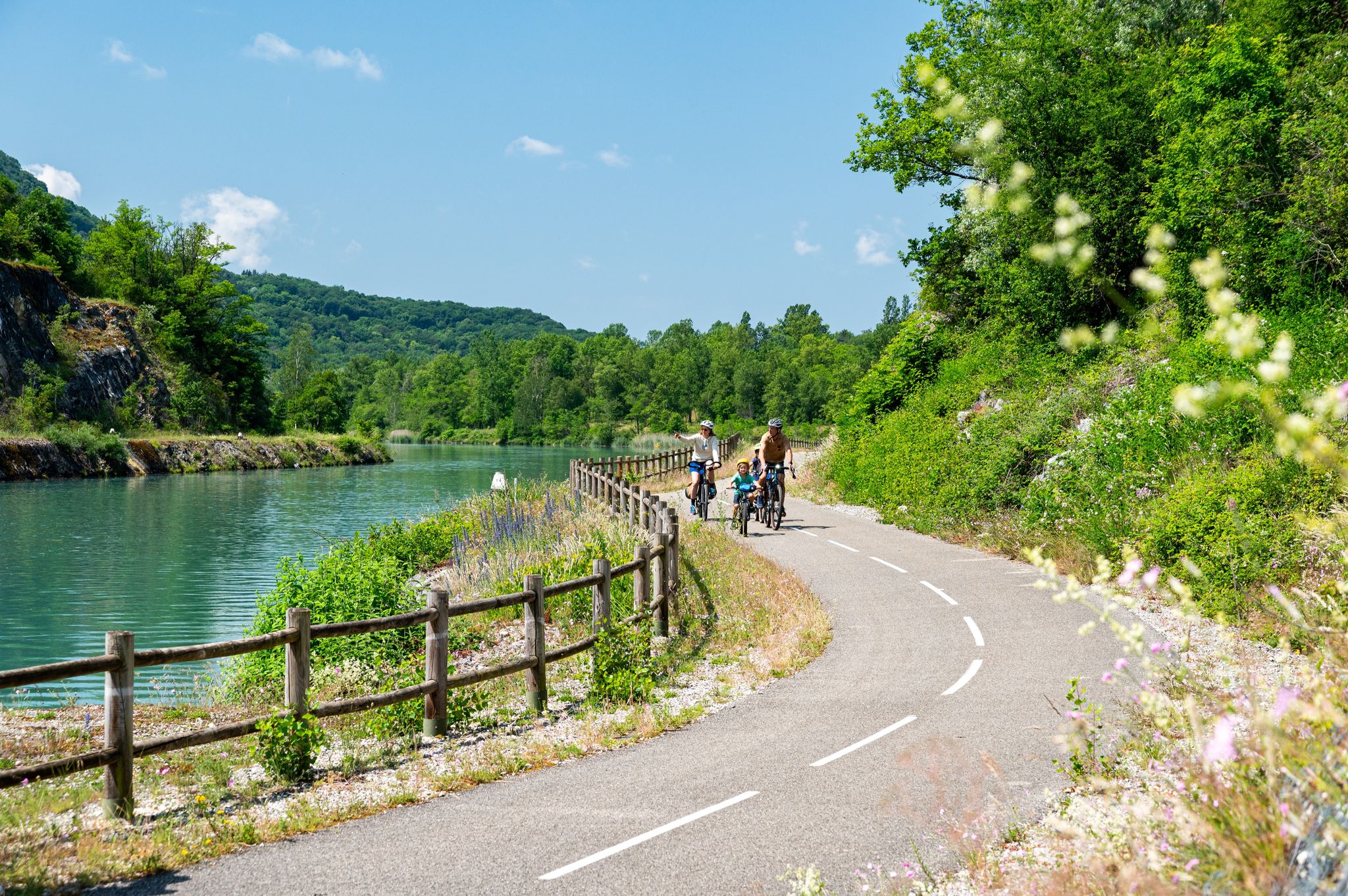
The Voie verte des Balcons du Dauphiné is a 18-kilometer-long secure cycle and pedestrian path, built on the route of the former Est Lyonnais railway line. It connects the medieval town of Crémieu to the municipality of Arandon-Passins, where it connects directly to the ViaRhôna.
0
0
For a long time, this bridge marked the political border between the Kingdom of France (Dauphiné side) and the States of Savoy. In 1822, a border stone (stone no. 5) had been set in its center to demarcate the two territories. This historic stone has since been moved to the Place des Tilleuls in the village, where it serves as a fountain.
0
0
The Sault-Brénaz dam (also called Villebois dam or Sault-Brénaz facility) is an important hydroelectric infrastructure located on the Rhône River. It is situated on the border between the departments of Ain and Isère, mainly near the communes of Sault-Brénaz and Villebois. Commissioned in 1986, this structure was the last major facility built by the Compagnie Nationale du Rhône (CNR) on the upper Rhône.
0
0

The Via Rhona in the direction of Belley. Magnificent cycle path
1
0

here I replenished my drink supply again
0
0
a very nice section for us cyclists
0
0
Frequently Asked Questions
What kind of terrain can I expect on gravel bike trails around Brangues?
The Brangues region, part of Southern Bugey, offers a diverse landscape ideal for gravel biking. You'll encounter rolling hills, picturesque valleys, and a mix of forests. Many routes also feature scenic sections along the Rhône River, providing a blend of gentle paths and more challenging ascents. The varied surfaces are perfect for gravel bikes, combining road cycling with adventurous off-road exploration.
Are there any easy or beginner-friendly gravel routes in Brangues?
Yes, Brangues offers several routes suitable for beginners or those looking for an easier ride. For example, the region is part of the ViaRhôna cycling route, which provides accessible paths along the Rhône banks. While specific easy gravel routes are not detailed in the guide, the overall network includes options for different ability levels, with some routes having moderate difficulty ratings that can be approached by less experienced riders.
Where can I find challenging gravel bike routes near Brangues?
For a more challenging experience, consider routes that feature significant elevation changes and longer distances. The region's varied topography, with its hills and valleys, provides ample opportunity for demanding rides. An example of a more difficult route is the Savière Canal – Savière Canal loop from Groslée-Saint-Benoit, which covers nearly 97 km with over 400 meters of elevation gain.
What natural attractions can I see along the gravel bike trails in Brangues?
The Brangues area is rich in natural beauty. You can explore the unique river ecosystem of the Méandre du Saugey, a National Natural Reserve. Other highlights include the stunning Glandieu Waterfall and the serene Lac d'Ambléon. Many routes also offer views of the Isère mountains in the distance.
Are there any historical landmarks or points of interest accessible by gravel bike?
Yes, the region around Brangues has several points of interest. You might encounter the Groslée Bridge, an important crossing over the Rhône. For those interested in cultural history, the Tomb of Paul Claudel is also nearby. The Crémieu–Morestel Greenway loop, for instance, leads towards historic towns.
Is Brangues a good destination for family-friendly gravel biking?
Brangues can be suitable for family-friendly cycling, especially along sections of the ViaRhôna, which is designed for all ages and skill levels. While dedicated family gravel routes aren't specifically highlighted, the presence of varied terrain means there are likely gentler paths that families can enjoy together, particularly those near the riverbanks.
What is the best season for gravel biking in Brangues?
The diverse landscapes of Brangues make it enjoyable across multiple seasons. Spring and autumn generally offer pleasant temperatures and beautiful scenery, with changing foliage or blooming wildflowers. Summer can also be good, especially for routes along the Rhône where breezes might be present. Always check local weather conditions before heading out, as some paths, particularly in the Méandre du Saugey reserve, can be wet.
Are there any circular gravel bike routes around Brangues?
Yes, many of the gravel biking options in Brangues are designed as loops, allowing you to start and end at the same point. Examples include the Virignin footbridge – Virignin la Balme footbridge loop from Brangues and the Groslée Bridge – Virignin footbridge loop from Groslée-Saint-Benoit, offering convenient exploration of the area.
What do other gravel bikers say about the trails in Brangues?
The gravel biking routes around Brangues are highly regarded by the komoot community, with an average rating of 4.6 stars from over 19 reviews. Riders often praise the varied terrain, the scenic views along the Rhône River, and the mix of forests and valleys that make for an engaging and diverse cycling experience.
Are there options for parking near the gravel bike trails in Brangues?
While specific parking locations for each trail are not detailed, Brangues and surrounding villages like Groslée-Saint-Benoit often provide public parking facilities. When planning your ride, it's advisable to check the starting points of your chosen routes for available parking options, especially in or near town centers or popular access points to the ViaRhôna.
Can I access the gravel bike trails using public transport?
Brangues is situated along the ViaRhôna, a major cycling route, which often has good connections to public transport in larger towns along its path. While direct public transport links to every trail start might vary, accessing the general region by train or bus to nearby towns and then cycling to the trailheads is often a viable option. Always check local transport schedules for the most up-to-date information.
Are there any amenities like cafes or accommodation along the gravel routes?
The region around Brangues, including the villages and towns along the Rhône and within Southern Bugey, offers various amenities. While specific cafes or accommodations directly on every gravel route are not guaranteed, you can typically find options in Brangues itself or in nearby towns like Morestel or Groslée-Saint-Benoit. It's a good idea to plan your stops in advance, especially on longer rides.
Most popular attractions around Brangues

Get inspired with the komoot mobile app


Explore more
Browse the best Gravel rides in other regions.
