The best road cycling routes around Brangues
4.4
(200)
2,785
riders
141
rides
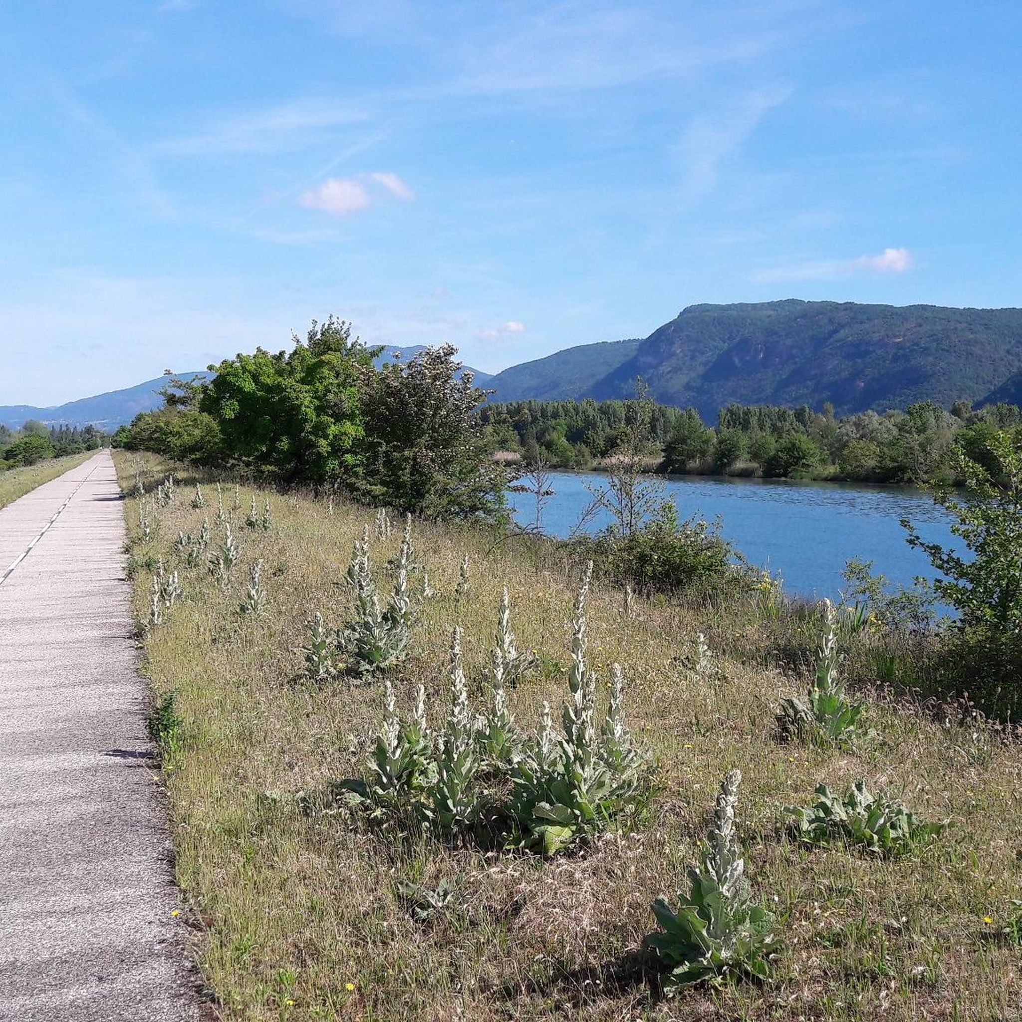
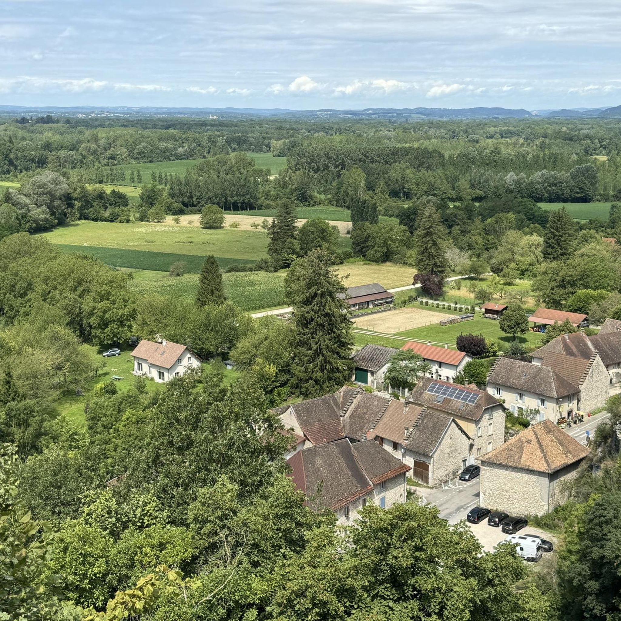
Road cycling routes around Brangues offer diverse terrain within the Isère region of France. The area is characterized by its proximity to the Rhône River, providing scenic routes along its banks, and the varied landscapes of the Southern Bugey region. Cyclists can expect a mix of gentle paths and more challenging ascents through forests and valleys. The elevation changes range from moderate climbs to significant gains, catering to different fitness levels.
Best road cycling routes around Brangues
- The most popular…
Last updated: July 4, 2026
4.4
(9)
82
riders
60.9km
03:03
880m
880m
Moderate road ride. Good fitness required. Mostly well-paved surfaces and easy to ride.
4.7
(6)
83
riders
41.7km
01:59
190m
190m
Moderate road ride. Great for any fitness level. Some segments of this route may be unpaved and difficult to ride.

Sign up for free
5.0
(2)
37
riders
42.8km
02:17
830m
830m
Moderate road ride. Good fitness required. Mostly well-paved surfaces and easy to ride.
4.0
(1)
23
riders
55.4km
02:45
820m
820m
Moderate road ride. Good fitness required. Mostly well-paved surfaces and easy to ride.
5.0
(4)
16
riders
Moderate road ride. Good fitness required. Mostly well-paved surfaces and easy to ride.
Get access to more routes and recommendations from other explorers.
Sign up for free
Already have an account?
Our route recommendations are based on thousands of hikes, rides, and runs completed by other people on komoot.
Start today with a free account
Your next adventure awaits.
Login or Signup
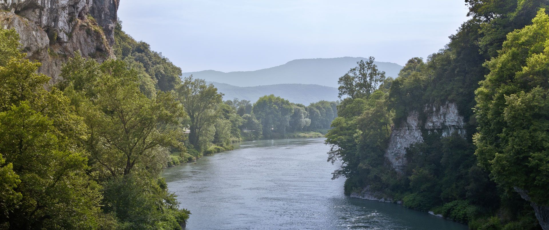
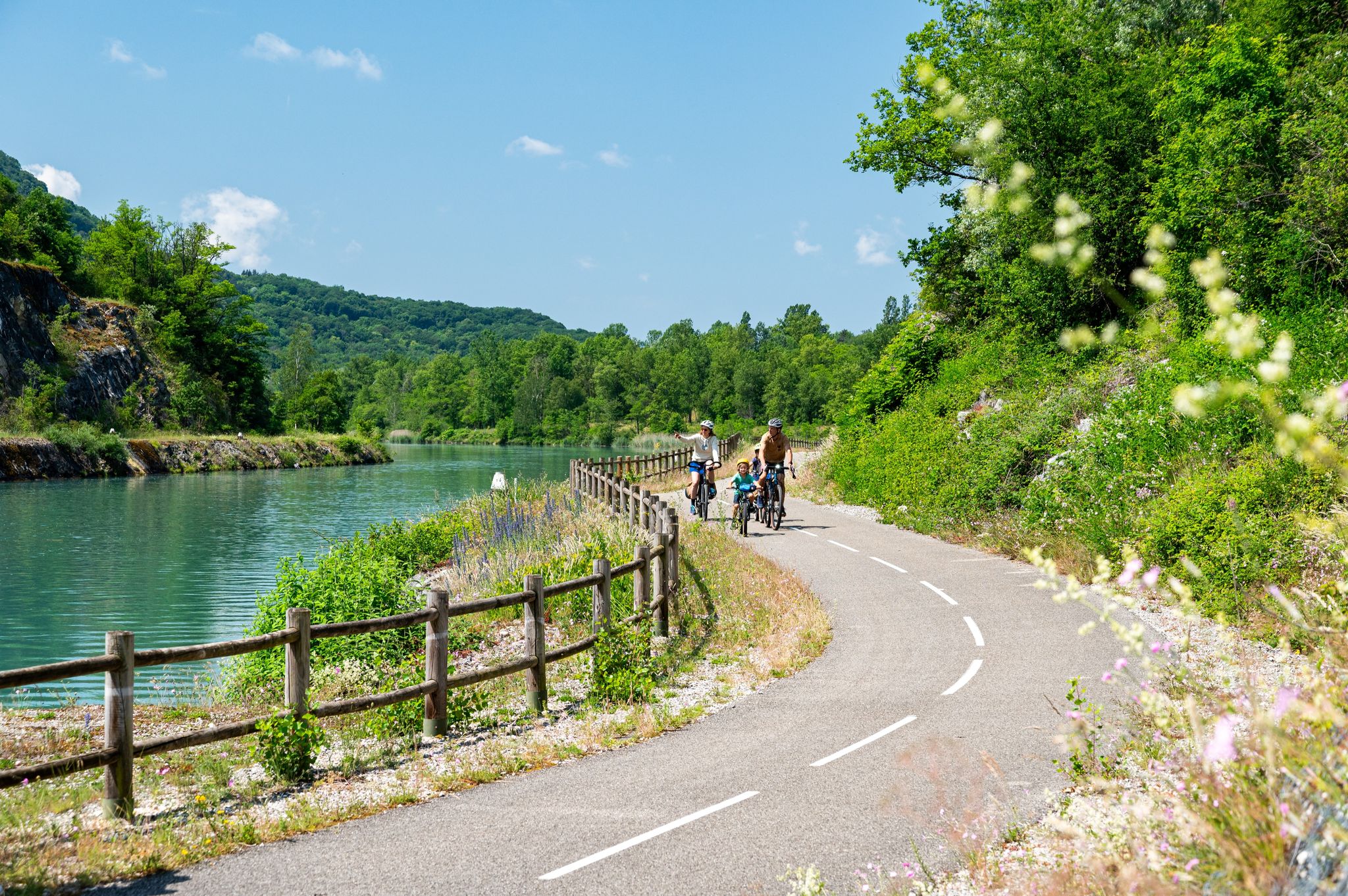
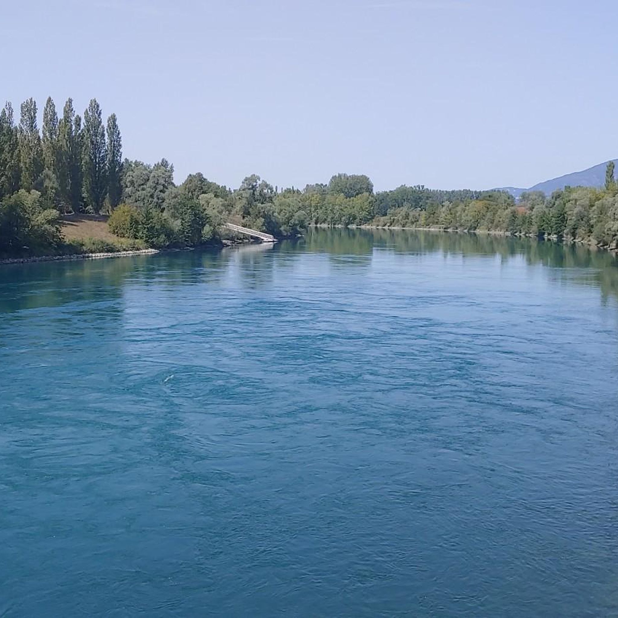
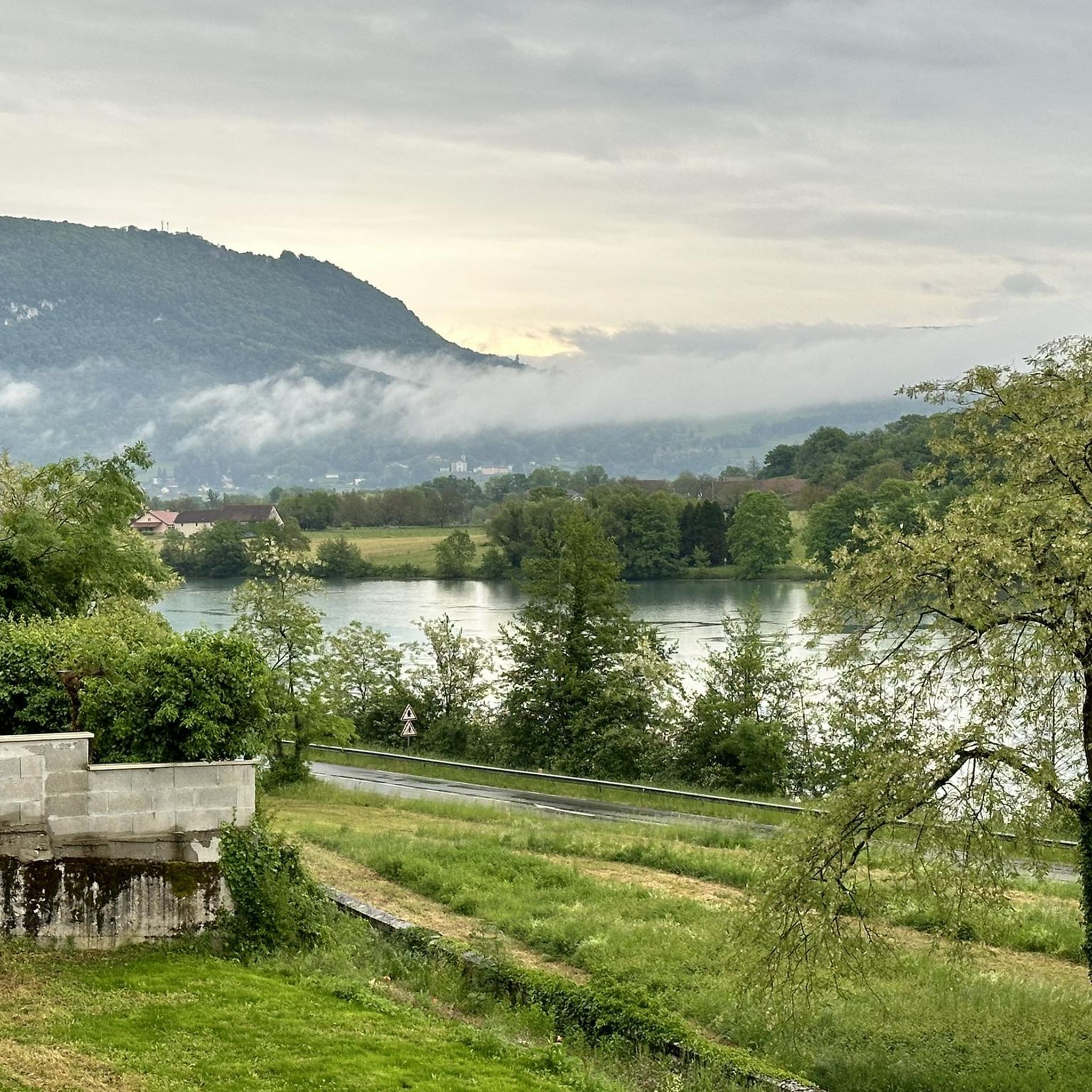



Tips from the Community


The property is private, but Paul Claudel's tomb is accessible
0
0
Neither the castle nor the park are open to the public
0
0

Here is the route for the ascent of the Col des Fosses from Lhuis
1
0

Beautiful and very wild without cars
0
0
Peaceful passage in the countryside.
1
0
A pretty peat bog that you can't miss when going up to Innimond and the Col du Petit Perthuis
1
0
All the information you need about the upcoming climb: length, average gradient, etc. A great initiative from the Ain Department.
1
0
Frequently Asked Questions
How many road cycling routes are available around Brangues?
There are over 140 road cycling routes around Brangues, offering a wide range of options for different skill levels and preferences. These routes are highly rated by the komoot community, with an average score of 4.4 stars.
What kind of terrain can I expect on road cycling routes near Brangues?
The Brangues area, situated in the Isère region, offers diverse terrain. You'll find routes along the scenic Rhône River, as well as varied landscapes within the Southern Bugey region. Expect a mix of gentle paths and more challenging ascents through forests and valleys, with elevation changes ranging from moderate climbs to significant gains.
Are there any easy or beginner-friendly road cycling routes in the Brangues area?
Yes, the region offers several easier options. The Caron loop from Saint-Victor-de-Morestel is a moderate 41.2 km path with some rolling hills, providing a balanced ride. Additionally, the ViaRhôna cycle path, accessible from Brangues, offers extensive, mostly flat sections suitable for all ages and fitness levels.
Where can I find challenging road cycling routes with significant climbs around Brangues?
For more challenging rides, consider routes that venture into the varied terrain of the Bugey region. The Cerin Peat Bog – Paul Claudel's castles loop from Saint-Victor-de-Morestel is a difficult 63.2 km trail with over 1100 meters of elevation gain. Another demanding option is the Fosses Pass – Lac d'Ambléon loop from Saint-Victor-de-Morestel, which covers 60.6 km with significant elevation gain.
What scenic landmarks or natural features can I see while cycling around Brangues?
Road cycling routes around Brangues offer views of the majestic Rhône River and the diverse landscapes of the Bugey region. You can encounter picturesque natural features such as Lac d'Ambléon and the stunning Glandieu Waterfall. Some routes also pass by historical sites like the Tomb of Paul Claudel.
Is the ViaRhôna cycle path accessible from Brangues?
Yes, the ViaRhôna cycle path is a major highlight for cyclists in the region. It passes along the banks of the River Rhône for 50 kilometers in Southern Bugey, making it easily accessible from Brangues. This extensive route offers a beautiful greenway from Vallée Bleue to Lagnieu, traversing the Bugey region.
Are there any circular road cycling routes available in Brangues?
Many of the road cycling routes around Brangues are designed as loops, allowing you to start and end at the same point. Examples include the Rond point du petit train – Vallée Bleue Lake loop from Saint-Victor-de-Morestel and the Paul Claudel's castles – Cerin Peat Bog loop from Saint-Victor-de-Morestel, providing convenient options for exploring the area.
What is the best time of year to go road cycling in Brangues?
The region around Brangues is generally pleasant for road cycling during spring, summer, and early autumn. These seasons offer favorable weather conditions for enjoying the diverse landscapes, from river paths to mountain ascents. Always check local weather forecasts before heading out.
Where can I find parking for road cycling routes in Brangues?
Many routes around Brangues, particularly those starting from villages like Saint-Victor-de-Morestel, offer convenient parking options. It's advisable to check the specific route details on komoot for recommended starting points and parking availability, especially in smaller hamlets.
What do other cyclists say about road cycling in Brangues?
The road cycling routes in Brangues are highly rated by the komoot community, with an impressive average score of 4.4 stars from over 100 reviews. More than 2,500 road cyclists have used komoot to explore the varied terrain, often praising the scenic views, diverse landscapes, and the mix of challenging and easier options available.
Can I find places to stop for refreshments along the cycling routes?
Yes, the region is dotted with many charming villages and hamlets typical of the Bugey area. These often provide opportunities for cultural interest and convenient stops for refreshments. Villages like Morestel and Saint-Sorlin-en-Bugey, which are part of the cycling landscape, are good places to look for cafes or small shops.
Are there any routes that specifically explore the Bugey region?
Absolutely. The Bugey region is central to road cycling around Brangues. Many routes, such as those traversing between the Rhône and the Grand Colombier massif, delve deep into Bugey's natural beauty, including its mountains, forests, superb ponds, lakes, and marshes. The ViaRhôna itself extends into the lands of North Isère and the Bugey region.
Most popular attractions around Brangues

Get inspired with the komoot mobile app


Explore more
Browse the best Road cycling routes in other regions.
