The best walks and hikes around Salvitelle
4.7
(24)
70
hikers
2
hikes
Hiking around Salvitelle offers diverse landscapes within Italy's Campania region. The area features mountainous terrain, lush valleys, and panoramic vistas, bordering the Alburni Mountains and the Cilento Vallo di Diano and Alburni National Park. Key features include the Serra San Giacomo ridge, Monte San Giacomo, and the Fiume Bianco valley, providing varied elevations and natural beauty. The region is also characterized by scenic roads overlooking the Tanagro Valley and the presence of the Bianco torrent and Savoia waterfalls.
Best hiking…
Last updated: June 27, 2026
4.6
(5)
12
hikers
7.16km
02:10
230m
230m
Moderate hike. Good fitness required. Easily-accessible paths. Suitable for all skill levels.
4.2
(16)
50
hikers
3.38km
01:05
140m
140m
Easy hike. Great for any fitness level. Easily-accessible paths. Suitable for all skill levels.

Sign up for free
5.0
(2)
4
hikers
16.1km
05:36
730m
730m
Hard hike. Very good fitness required. Mostly accessible paths. Sure-footedness required.
5.0
(1)
5
hikers
8.11km
03:41
610m
610m
Moderate hike. Good fitness required. Mostly accessible paths. Sure-footedness required.
Our route recommendations are based on thousands of hikes, rides, and runs completed by other people on komoot.
Start today with a free account
Your next adventure awaits.
Login or Signup
Popular around Salvitelle
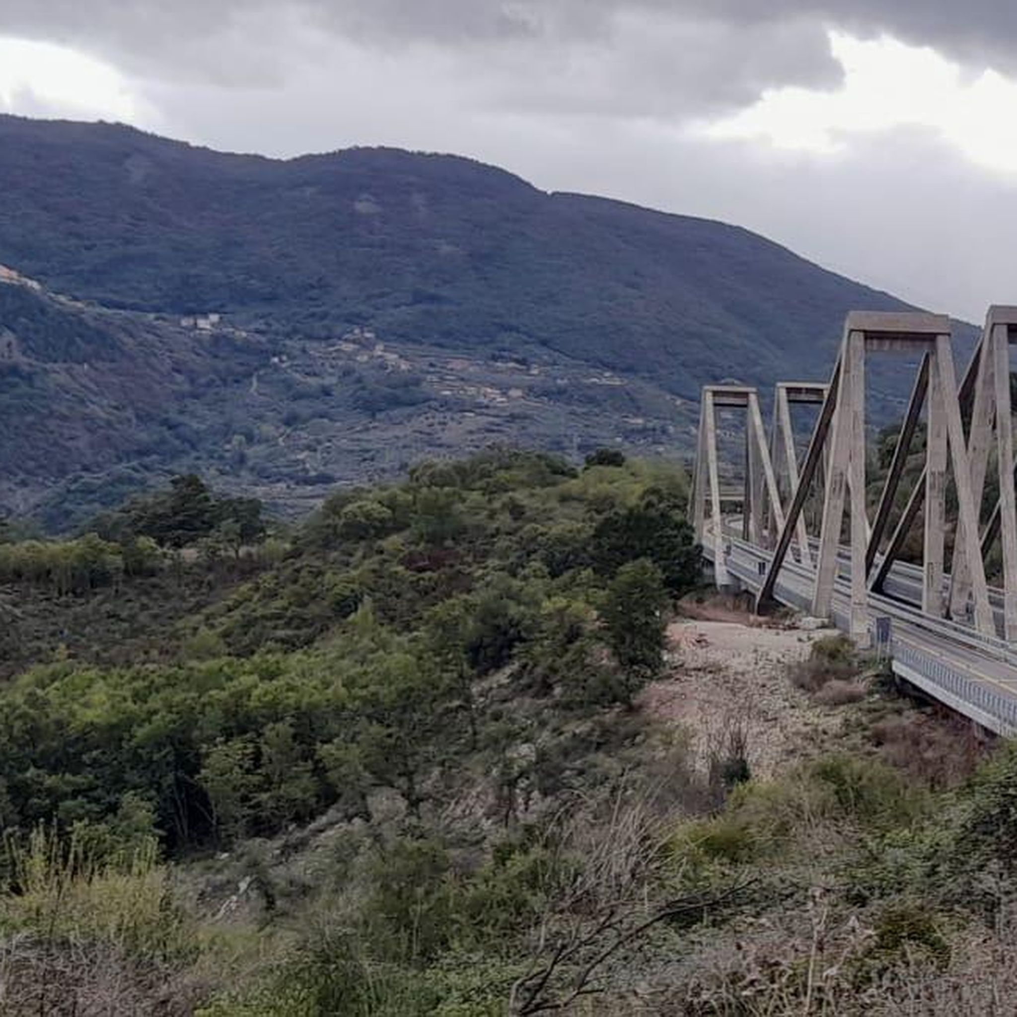
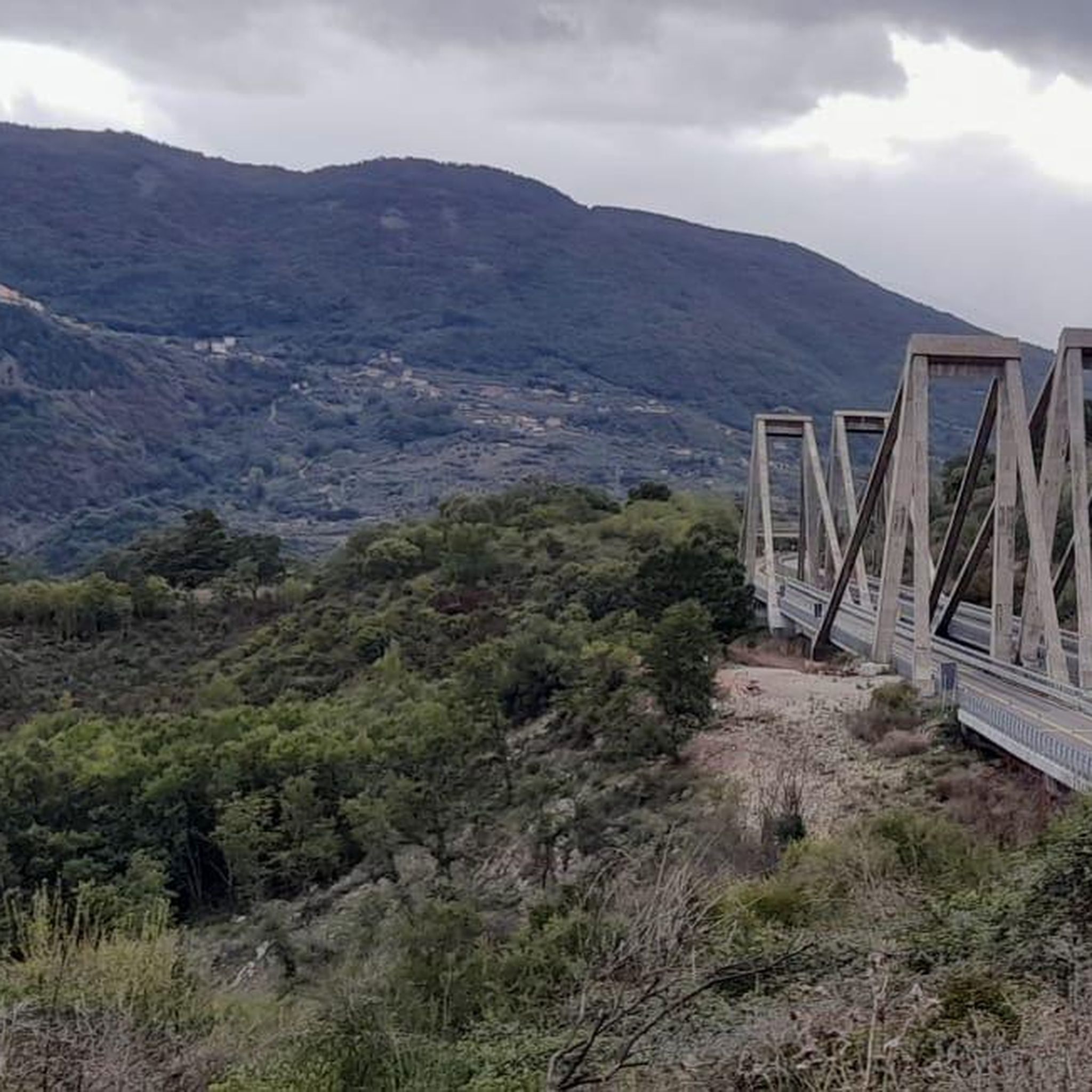

Tips from the Community

I hope you get a chance to meet Ettore, the volunteer who runs the observatory and currently the only person in the world who knows how to use the telescope inside. Spending a night here on an observing day must be fantastic.
0
0

Near the large rocky spur of Figliolo it is necessary to climb to reach the summit, where the statue of the Madonna marks the highest point. From here you can enjoy a spectacular 360 degree view. WARNINGS for those who want to reach the summit of Figliolo (see photo!) For the more adventurous you can climb to the top of Figliolo, to do so go around the wall towards SE climbing on a gravelly trail up to a crack between the rocks. You will find a huge boulder stuck between the walls, you have to go beyond it and you have to climb in this crack between the rocks (you need a bit of agility and caution especially when going down). You climb up reaching the summit ridge, paying attention to a slightly exposed section and avoiding the side where more friable rock is visible (yellow color). From the Madonna on the summit you can read Monte Figliolo 1337 m. The view is phenomenal and worth the little "climb" but, it is NOT for everyone, you need good mountaineering experience and you must not suffer from vertigo.
2
0

At the top of the Valico degli Alburni there is the astronomical observatory of Casone Aresta. Here the wood opens up to make room for a large plateau.
1
0
Cima Il Figliolo is a rocky outcrop in the municipality of Petina. At more than 1300 meters above sea level, it offers a splendid view of Monte Panormo, the highest peak of the Alburni Mountains, and of the Tanagro valley.
0
0
At the top of the Valico degli Alburni there is the astronomical observatory of Casone Aresta. Here the wood opens up to make room for a large plateau.
1
0

The large waterfall is one of the Savoia waterfalls, it is located in the Tuorno valley, a place of extreme beauty.
1
0
Beautiful waterfall surrounded by greenery, the eye tile that gives is wonderful.
0
0
At the top of the Valico degli Alburni there is the astronomical observatory of Casone Aresta. Here the wood opens up to make room for a large plateau.
1
0
Frequently Asked Questions
What types of hiking trails can I find around Salvitelle?
Salvitelle offers a diverse range of hiking trails, from easy walks to more challenging summit ascents. The region is characterized by mountainous terrain, lush valleys, and captivating waterfalls, providing varied landscapes for exploration. You'll find routes suitable for different ability levels, with options leading through scenic areas like the Tuorno valley and towards panoramic viewpoints.
Are there any easy hiking trails suitable for families or beginners?
Yes, there are several easy trails around Salvitelle. For instance, the Cascata Grande di Savoia loop from Savoia di Lucania is an easy 2.1-mile (3.4 km) path that offers beautiful views. Another accessible option is the Cascate del Tuorno – Cascata Piccola loop from Savoia di Lucania, which is 2.7 miles (4.4 km) long and also rated as easy.
Can I find trails that feature waterfalls in the Salvitelle area?
Absolutely. The region is known for its beautiful waterfalls. The Valle del Tuorno Waterfalls Trail is a moderate 4.5-mile (7.2 km) route that leads directly through the scenic Tuorno valley, highlighting its notable waterfalls. You can also visit the Cascata Grande di Savoia, a significant natural feature in the area.
Are there any challenging hikes or summits to conquer near Salvitelle?
For those seeking a challenge, the Il Figliolo Summit – Casone Aresta loop from Petina is a demanding 10.0-mile (16.1 km) trail. Reaching the Il Figliolo Summit requires mountaineering experience and caution due to gravelly trails and exposed sections, but it rewards hikers with spectacular 360-degree panoramic views.
What are the best trails for panoramic views around Salvitelle?
Many trails in the Salvitelle area offer expansive views due to its mountainous terrain. The climb to Il Figliolo Summit provides a spectacular 360-degree panorama encompassing Monte Panormo and the Tanagro valley. Additionally, the region features scenic roads overlooking the Tanagro Valley, which can be incorporated into hiking routes for breathtaking vistas.
Are there any circular hiking routes available?
Yes, several routes are designed as loops, allowing you to start and end at the same point. Examples include the Cascata Grande di Savoia – Cascata Piccola loop from Savoia di Lucania, an easy 2.1-mile (3.4 km) path, and the more challenging Il Figliolo Summit – Casone Aresta loop from Petina.
What interesting landmarks or attractions can I explore while hiking in Salvitelle?
Beyond natural beauty, the area offers cultural and historical points of interest. You can visit the partially restored Castle of Buccino, a typical baronial castle that forms part of an urban park. The Village of Petina, enveloped by ancient chestnut groves, also offers a charming stop.
What do other hikers say about the trails in Salvitelle?
The hiking routes in Salvitelle are highly rated by the komoot community, with an average score of 4.7 stars from more than 20 reviews. Hikers often praise the diverse landscapes, from mountainous terrain to lush valleys and captivating waterfalls, as well as the panoramic views available from various points.
Is Salvitelle located within a national park, and are there any special regulations?
Salvitelle borders the Alburni Mountains, which are part of the Cilento Vallo di Diano and Alburni National Park. While the guide does not specify permit requirements for general hiking, it's always advisable to check with the park authority for any specific regulations, especially if venturing into protected or sensitive areas within the national park boundaries.
What is the best time of year to go hiking in Salvitelle?
The region's diverse natural environment, including mountains and valleys, makes it suitable for hiking across different seasons. Spring and autumn generally offer pleasant temperatures and vibrant scenery, with lush greenery or colorful foliage. Summer can be warm, especially at lower elevations, while higher mountain trails might offer cooler conditions. Winter hiking conditions would depend on snow levels in the mountainous areas.
Are there any trails that are particularly good for spotting wildlife?
The Alburni Mountains, bordering Salvitelle, are part of a national park known for its biodiversity. While specific wildlife spotting trails are not detailed, hiking through the beech woods and lush valleys, especially in quieter, less frequented areas, increases your chances of encountering local fauna. The varied ecosystems support a range of wildlife typical of the Campania region.
Most popular attractions around Salvitelle

Get inspired with the komoot mobile app


Explore more
Browse the best Hikes in other regions.
