The best MTB trails around Montebello Sul Sangro
5.0
(1)
28
riders
5
rides
Mountain biking around Montebello Sul Sangro offers diverse terrain within the Abruzzo region, overlooking the Sangro Valley and situated near the Majella National Park. The area features a mix of plateaus, hills, and riverine environments, with mountainous terrain providing varied challenges. Riders can explore routes near Lake Bomba and through dense forests, with significant portions of the surrounding park exceeding 2,000 meters in altitude. This landscape provides an ideal environment for mountain biking, from challenging climbs to scenic paths.
Best…
Last updated: July 10, 2026
7
riders
48.7km
03:37
990m
990m
Hard mountain bike ride. Very good fitness required. Suitable for all skill levels.
6
riders
38.7km
04:10
1,380m
1,380m
Hard mountain bike ride. Very good fitness required. Advanced riding skills necessary.

Sign up for free
5.0
(1)
4
riders
33.4km
02:30
770m
770m
Moderate mountain bike ride. Good fitness required. Suitable for all skill levels.
3
riders
Moderate mountain bike ride. Good fitness required. Advanced riding skills necessary.
8
riders
48.0km
03:33
1,020m
1,020m
Hard mountain bike ride. Very good fitness required. Advanced riding skills necessary.
Our route recommendations are based on thousands of hikes, rides, and runs completed by other people on komoot.
Start today with a free account
Your next adventure awaits.
Login or Signup


Tips from the Community


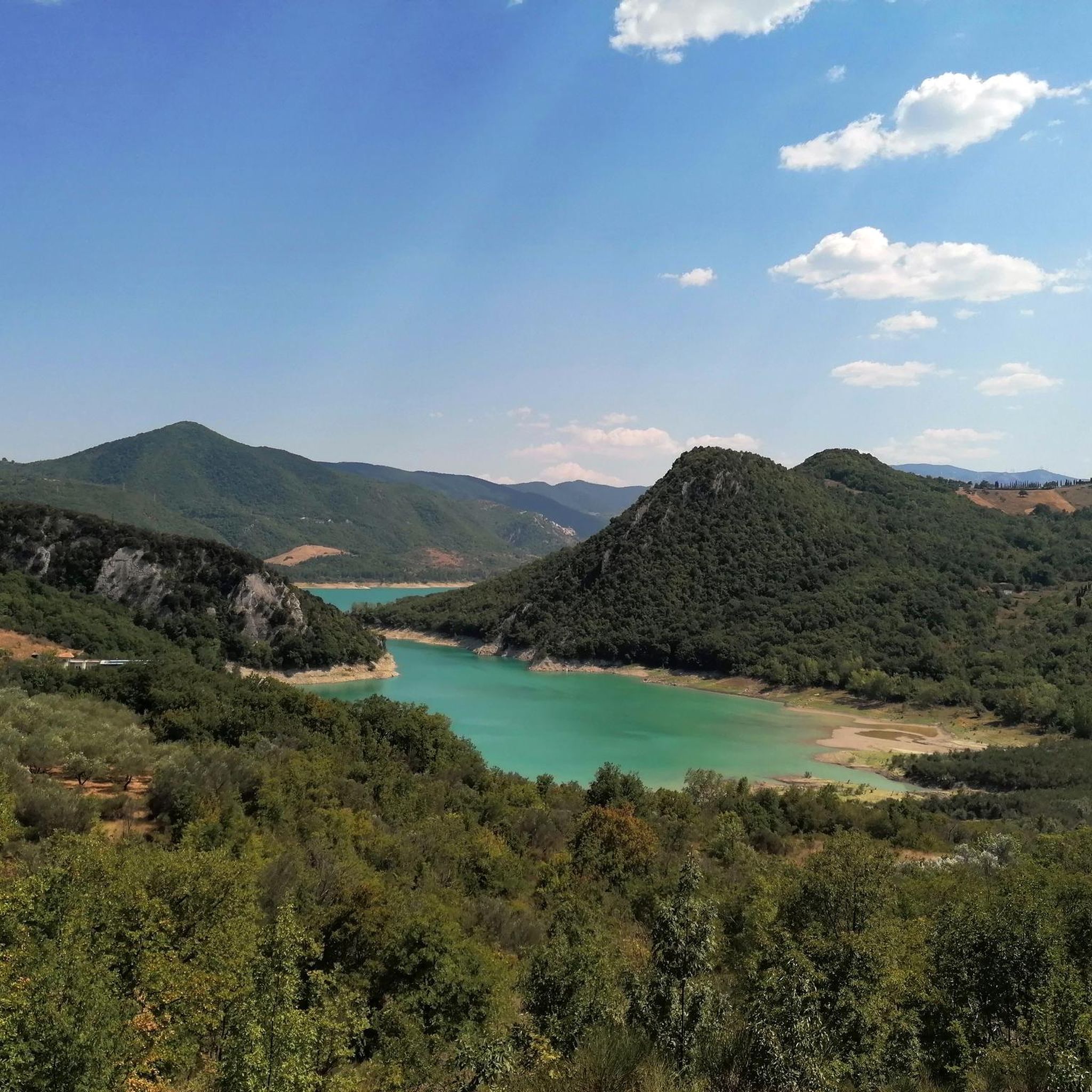
The Gamberale Viewpoint is a breathtaking natural terrace located at the highest point of the village, offering an extraordinary view spanning the Sangro Valley and the rugged peaks of the Majella and neighboring Molise. This panoramic vantage point, suspended between sky and rock, allows you to take in a vast horizon of dense forests and small hilltop villages, offering a sense of absolute peace and a privileged perspective on the wild heart of the Apennines.
0
0

The Guado Liscia refuge is nestled in the woods of Alto Molise, on the pass connecting Agnone and Capracotta, practically on the border with Abruzzo. It's a popular stopping point for hikers, motorcyclists, and cyclists, offering traditional cuisine, a simple yet welcoming atmosphere, and good reviews for the quality of the food. It's open year-round, and in winter, it becomes a strategic shelter along the area's often snow-covered roads, offering refreshment amidst unspoiled nature and mountain views.
0
0

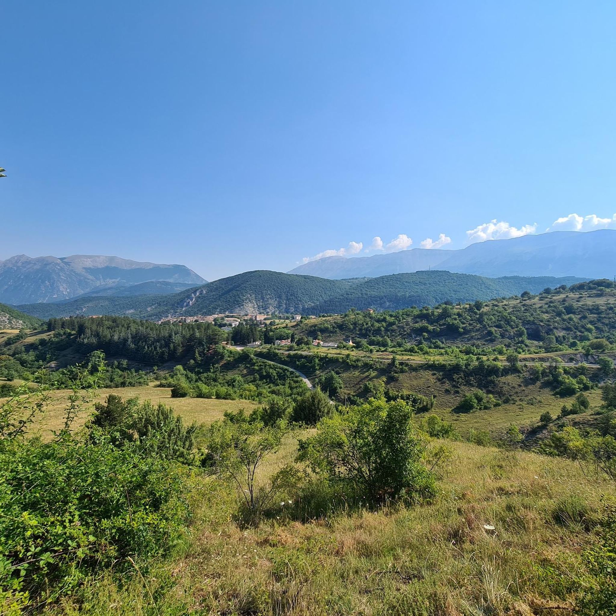
Pescopennataro is a village in upper Molise perched on a beautiful rocky ridge. The town offers enchanting views of the surrounding valleys. You can also enjoy a nature walk in the Pinocchio Park.
0
0
Hermitage set in the rock, tradition has it that it was a place of passage for the evangelist Luke on his journey between Rome and Palestine.
0
0

and an adjoining church which cannot also be visited.
0
0
"hermitage dedicated to the Patron Saint of Pescopennataro. The site opens once a year, during the festival dedicated to him
0
0
Cool place ideal for picnics.
0
0
Frequently Asked Questions
How many mountain bike trails are available around Montebello Sul Sangro?
Komoot features a selection of mountain bike trails around Montebello Sul Sangro, with over 20 routes recorded by the community. These routes offer diverse experiences, from moderate paths to challenging rides, and have been explored by more than 20 mountain bikers.
What kind of terrain can I expect on mountain bike trails near Montebello Sul Sangro?
The terrain around Montebello Sul Sangro is highly varied, offering a mix of plateaus, hills, and riverine environments within the Sangro Valley. You'll encounter mountainous landscapes, dense forests, and routes near Lake Bomba. The nearby Majella National Park also features high mountains, with significant portions exceeding 2,000 meters in altitude, providing both challenging climbs and scenic paths.
Are there mountain bike trails suitable for beginners or families in the Montebello Sul Sangro area?
While many routes in the broader Abruzzo region offer challenging experiences, there are also more accessible paths. For example, the Pizzoferrato Rock Formation – Belvedere of Gamberale loop from Pizzoferrato is a moderate 11.1-mile trail that can be completed in about 1 hour 35 minutes, making it a good option for those seeking a less strenuous ride. The region also offers guided e-MTB excursions on panoramic paths through woods and pastures, which can be tailored for various skill levels.
Are there challenging mountain bike routes for experienced riders near Montebello Sul Sangro?
Yes, the region offers several challenging routes for experienced mountain bikers. The Monument to Silvio Spaventa – Megalithic Walls loop from Bomba is a difficult 31.0-mile trail with nearly 1,000 meters of elevation gain. Another demanding option is the Prato Gentile Arch Bridge – Corso Capracotta loop from Roio del Sangro, a difficult 28.3-mile path winding through varied landscapes with over 1,000 meters of ascent. These routes provide significant altitude differences and technical sections.
What are some notable landmarks or attractions I can see while mountain biking near Montebello Sul Sangro?
The area around Montebello Sul Sangro is rich in natural beauty and historical sites. You might encounter the stunning Waterfall in Gola di Pennadomo or the impressive Castello di Roccascalegna. The village itself offers a charming historical center with ancient stone houses and churches like the Church of San Giovanni Battista. Many routes also provide panoramic views of the Sangro Valley and Lake Bomba.
Are there any mountain bike trails that offer great views?
Absolutely. Montebello Sul Sangro overlooks the splendid Sangro Valley, providing panoramic views of the intense blue Lake Bomba and the jagged profiles of the surrounding mountains. Many trails, such as the Monument to Silvio Spaventa – Megalithic Walls loop from Bomba, offer expansive vistas of the valley and the Majella National Park. The mountainous terrain of the Abruzzo Apennines ensures numerous viewpoints along the routes.
Can I find circular mountain bike routes in the Montebello Sul Sangro area?
Yes, several circular mountain bike routes are available. For instance, the Bosco di Monte Fischietto loop from Montazzoli is a challenging 36.9-kilometer circular trail. Other routes like the Pizzoferrato Rock Formation – Belvedere of Gamberale loop from Pizzoferrato also offer a loop format, allowing you to start and end at the same point.
What is the best time of year for mountain biking in Montebello Sul Sangro?
The Abruzzo region, including Montebello Sul Sangro, is generally best for mountain biking during the spring, summer, and early autumn months. During these periods, the weather is typically mild and stable, making for pleasant riding conditions. The higher altitudes in the Majella National Park might be cooler and have snow later into spring or earlier in autumn, so checking local weather conditions is always advisable.
Is parking available for mountain bikers in Montebello Sul Sangro?
While specific dedicated mountain bike parking facilities are not detailed, Montebello Sul Sangro is a small village, and general parking for visitors is usually available within or on the outskirts of the town. For routes starting from nearby towns or trailheads, parking options will vary, so it's recommended to check the specific tour details on komoot for starting points and potential parking information.
Are dogs allowed on mountain bike trails in the Montebello Sul Sangro region?
Generally, dogs are permitted on many trails in the Abruzzo region, especially on public paths and in natural areas. However, specific regulations can apply within protected areas like the Majella National Park. It's always best to keep dogs on a leash, especially in areas with wildlife or livestock, and to ensure they are well-behaved and do not disturb other trail users or the environment. Always check local signage for any restrictions.
Are there any cafes or places to eat near the mountain bike trails in Montebello Sul Sangro?
Montebello Sul Sangro, being a charming medieval village, offers local amenities including cafes and restaurants where you can refuel after your ride. The surrounding towns and villages in the Sangro Valley also provide various options for food and drink. It's a good idea to plan your route to pass through or near these villages if you intend to stop for refreshments.
Can I rent mountain bikes or e-bikes in the Montebello Sul Sangro area?
While specific rental services directly within Montebello Sul Sangro are not prominently listed, the broader Abruzzo region offers bike rental services, including mountain bikes and e-bikes. Organizations like A.S.D. Enjoyus organize e-MTB excursions and often have rental options available. It's advisable to inquire with local tourism offices or search for rental shops in larger nearby towns if you need to rent equipment.
Most popular routes around Montebello Sul Sangro
Most popular attractions around Montebello Sul Sangro

Get inspired with the komoot mobile app


Explore more
Browse the best MTB trails in other regions.
