The best gravel rides in San Pablo Bay National Wildlife Refuge
5.0
(3)
30
riders
5
rides
Gravel biking in San Pablo Bay National Wildlife Refuge offers routes through extensive wetlands and flat, unpaved surfaces. The terrain is characterized by coastal paths and open bay views, with some sections traversing graded fire roads. This region provides opportunities for cycling within a significant wetland ecosystem, primarily in designated areas like the Tolay Creek Unit.
Best gravel bike trails in San Pablo Bay National Wildlife Refuge
- The most popular gravel bike trail is Gravel loop from Novato Creek, an 11.2 miles (18.0 km) trail that takes 1 hour 29 minutes to complete, featuring moderate climbs.
- Another top favourite among local gravel bikers is SMART Multiuse Pathway – Pinheiro Fire Road Trailhead loop from Novato San Marin, an easy 11.6 miles (18.7 km) path that offers views of the surrounding bay and wetlands.
- Local gravel bikers also love the Pinheiro Fire Road Trailhead – Bahia Trail loop from Novato Downtown, a 15.1 miles (24.3 km) trail leading through coastal wetlands, often completed in about 1 hour 42 minutes.
- Gravel biking in San Pablo Bay National Wildlife Refuge is defined by coastal paths, extensive wetlands, and flat, unpaved surfaces. The network offers options for both easy and moderate ability levels.
- The routes in San Pablo Bay National Wildlife Refuge are highly rated by the komoot community with an average score of 5.0 stars from 3 reviews. More than 30 gravel bikers have used komoot to explore San Pablo Bay National Wildlife Refuge's varied terrain.
Last updated: July 6, 2026
2
riders
18.0km
01:29
390m
390m
Moderate gravel ride. Good fitness required. Mostly paved surfaces. Suitable for all skill levels.
9
riders
Easy gravel ride. Great for any fitness level. Mostly paved surfaces. Suitable for all skill levels.

Sign up for free
5.0
(2)
11
riders
24.3km
01:42
130m
130m
Easy gravel ride. Great for any fitness level. Mostly paved surfaces. Suitable for all skill levels.
5.0
(1)
6
riders
Easy gravel ride. Great for any fitness level. Mostly paved surfaces. Suitable for all skill levels.
2
riders
17.2km
01:24
350m
350m
Moderate gravel ride. Good fitness required. Mostly paved surfaces. Suitable for all skill levels.
Our route recommendations are based on thousands of hikes, rides, and runs completed by other people on komoot.
Start today with a free account
Your next adventure awaits.
Login or Signup
Popular around San Pablo Bay National Wildlife Refuge
Tips from the Community

Pierre Joske Grove offers hikers, mountain bikers, and equestrians a peaceful oak-shaded retreat amid sweeping grasslands. Sitting at roughly 800 feet elevation just off Deer Camp Fire Road, the grove’s mature oaks invite rest, birdwatching, and wildflower spotting in spring. It also serves as a community focal point for habitat restoration, most recently hosting milkweed planting events to support monarch butterflies.
1
0
This is a small park with a 10-acre pond and some trails along the shore. There are usually quite a few birds around, you might even spot a large pelican from time to time.
0
0

At the junction of Chicken Shack Fire Road and Ponti Ridge Trail. There are benches, a great view, and trail markers.
1
0
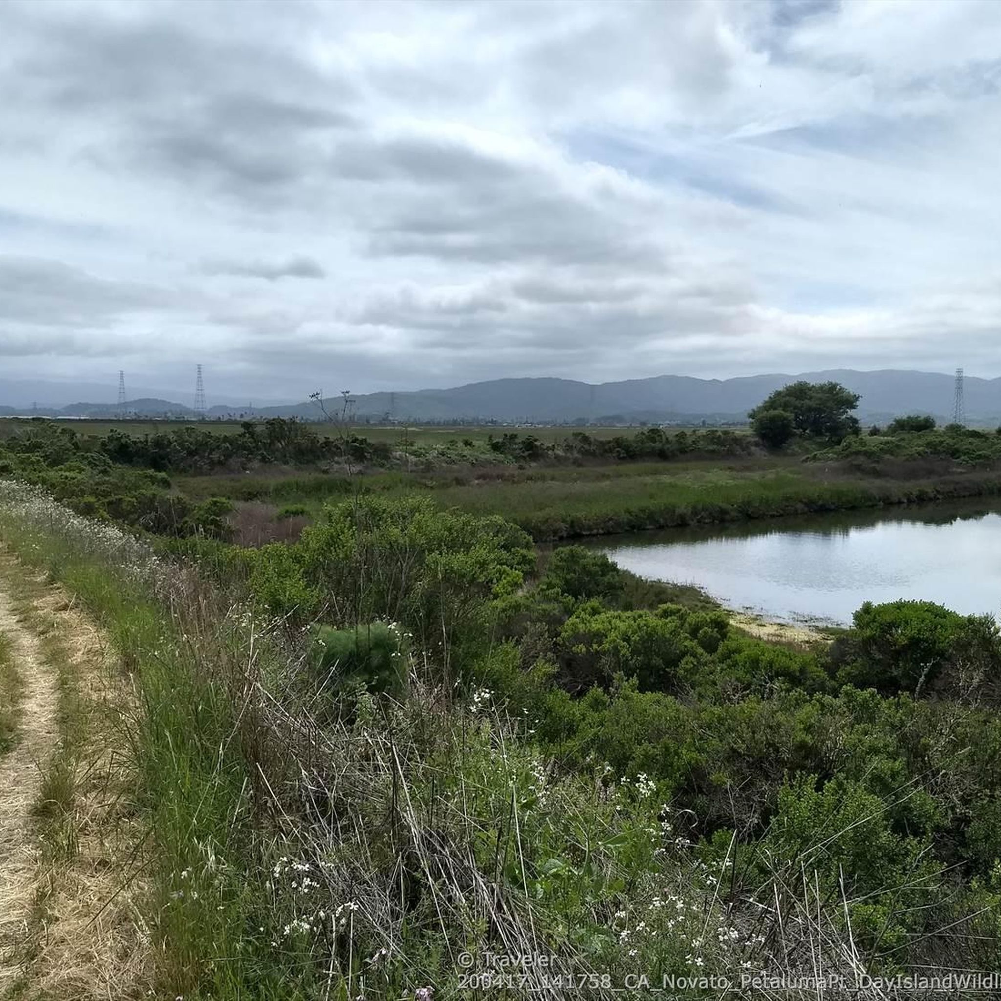
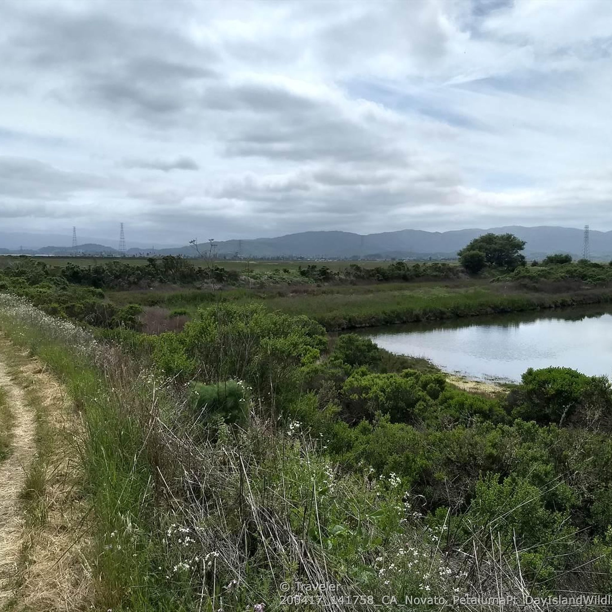
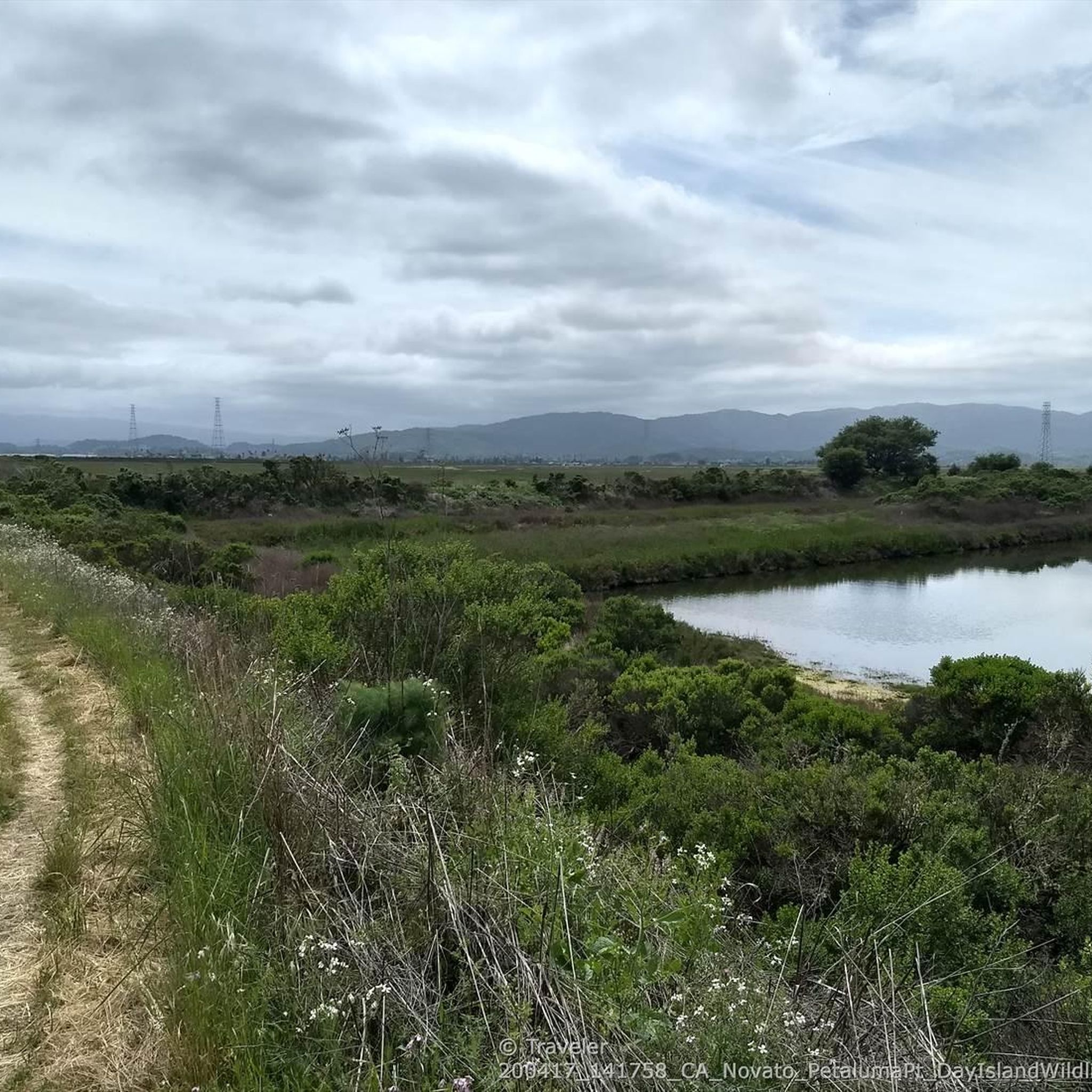
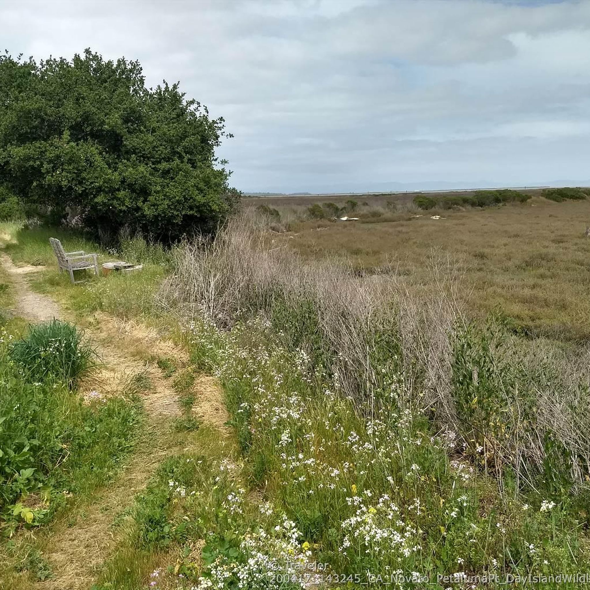
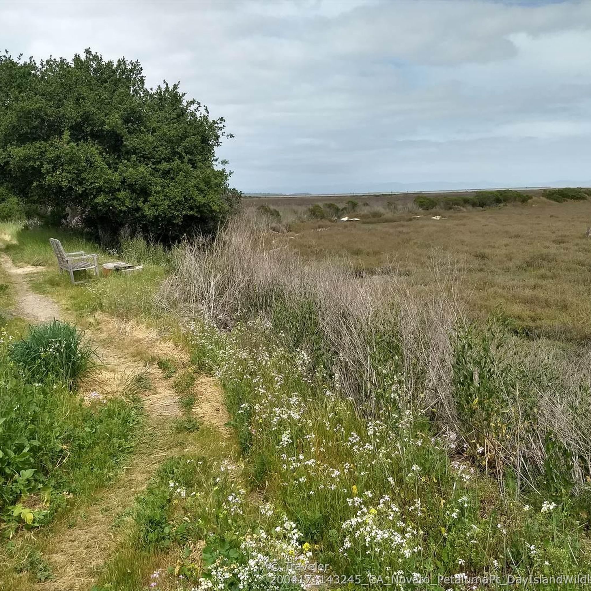
This trail runs along the edge of the Petaluma River wetlands and is a popular multi-use trail, so keep an eye out for others on the trail. The wetlands are an important area for wildlife, and are currently undergoing habitat restoration to improve conditions for native plants & animals.
0
0
This trail runs along the edge of the Petaluma River wetlands and is a popular multi-use trail, so keep an eye out for others on the trail. The wetlands are an important area for wildlife, and are currently undergoing habitat restoration to improve conditions for native plants & animals.
0
0

The downtown area of Novato stretches along Grant Avenue, with the Old town from the Train Station west to Redwood Boulevard, and more recent development a couple blocks further west.
0
0
The position of this vintage 1960s station wagon at the remote and roadless northern side of the Bahia is a fascinating mystery that can motivate creative story telling. The most plausible explanation might be that it was driven to the top of Bahia ridge when the preserve was still a mostly grass-covered ranchland, and somehow rolled down the hill and crashed. The trees that grew around it after grazing ended seem to be lifting the wreck up as they grow and grab the metal in various places with their bark.
1
0

My coffee stop on this ride is - Dr. Insomniac's Fine Coffee
0
0
Frequently Asked Questions
How many gravel bike trails are available in San Pablo Bay National Wildlife Refuge?
There are 5 gravel bike routes available in the San Pablo Bay National Wildlife Refuge area. These routes offer a mix of easy and moderate terrain, primarily featuring flat, graded trails through wetlands and along the bay.
Are there any easy gravel bike routes suitable for beginners or families?
Yes, there are 3 easy gravel bike routes perfect for beginners or families. These include the SMART Multiuse Pathway – Pinheiro Fire Road Trailhead loop from Novato San Marin, the Pinheiro Fire Road Trailhead – Bahia Trail loop from Novato Downtown, and the Scottsdale Pond Park – Pinheiro Fire Road Trailhead loop from Novato High School. These routes are generally flat and graded, making for a comfortable ride.
What kind of wildlife can I expect to see while gravel biking in the refuge?
The refuge is a critical habitat along the Pacific Flyway, so you can expect abundant birdlife, especially from fall through spring. Look for migratory waterfowl, shorebirds, wading birds, and raptors. It's also home to endangered species like the salt marsh harvest mouse and the California Ridgway's rail, though these are less commonly seen. The extensive wetlands provide a rich environment for diverse wildlife.
What is the best time of year to go gravel biking in San Pablo Bay National Wildlife Refuge?
The best time to visit is generally from fall through spring, when migratory birds are most abundant and the weather is cooler. However, be aware that trails can become muddy after rain, which might make some sections challenging for biking. Summer can be warm and less active for birdwatching.
Are there any circular gravel bike routes in the area?
Yes, all 5 of the gravel bike routes in this guide are designed as loops, allowing you to start and end at the same point. For example, the Gravel loop from Novato Creek offers a moderate 17.9 km circular ride.
What are the typical trail conditions like for gravel biking in the refuge?
The trails are characterized by flat, graded surfaces, often unpaved, traversing coastal paths and extensive wetlands. While generally easy to ride, they can become quite muddy and challenging after rainfall. It's advisable to check local weather conditions before heading out.
Where can I park when visiting the San Pablo Bay National Wildlife Refuge for gravel biking?
Parking is typically available at designated trailheads or access points to the refuge units. For routes originating near Novato, you'll find parking options in areas like Novato Downtown or near Novato High School, depending on your chosen starting point.
Can I bring my dog on the gravel bike trails?
While the refuge generally has restrictions on general bicycle access, the Tolay Creek Unit specifically permits bicycles. However, for specific regulations regarding dogs on trails within the San Pablo Bay National Wildlife Refuge, it's best to confirm directly with the refuge management as policies can vary by unit and may be subject to change.
Are there any scenic viewpoints along the gravel bike trails?
Yes, the trails offer expansive views of San Pablo Bay and the surrounding mountains of Marin County, the East Bay, and Sonoma. On clear days, you might even catch glimpses of the San Francisco bridges. The vast wetlands and tidal marshes also provide stunning scenic backdrops.
What do other gravel bikers enjoy most about gravel biking in San Pablo Bay National Wildlife Refuge?
The area is highly rated by the komoot community, with an average score of 5.0 stars. Reviewers often praise the unique experience of riding through diverse wetlands, the abundant wildlife viewing opportunities, and the peaceful, flat terrain that makes for an enjoyable ride.
Are there any places to eat or drink near the gravel bike trails?
While the refuge itself is a natural area, you can find cafes, pubs, and other accommodations in nearby towns such as Novato, which serves as a common starting point for many of the routes in this guide. It's a good idea to plan your refreshments before or after your ride.
What is the longest gravel bike route available in this guide?
The longest route featured is the Pinheiro Fire Road Trailhead – Bahia Trail loop from Novato Downtown, which covers approximately 24.3 kilometers (15.1 miles) with an easy difficulty rating.
Most popular routes in San Pablo Bay National Wildlife Refuge

Get inspired with the komoot mobile app


