The best gravel rides around Lake Tahoe
14
riders
7
rides
Gravel biking around Lake Tahoe offers diverse terrain characterized by its high-altitude setting, dense pine forests, and stunning lake views. The region features a mix of challenging mountain climbs and more gentle paths along the shoreline. Riders can expect varied surfaces, from compacted dirt roads to rocky trails, with significant elevation changes throughout the area. This landscape provides a robust environment for gravel biking, catering to different skill levels.
Best gravel bike trails around Lake Tahoe
- The most popular gravel bike trail is Antone Meadows Loop, an 8.4 miles (13.5 km) trail that takes 1 hour 23 minutes to complete. This difficult route navigates through scenic meadows and forested sections.
- Another top favourite among local gravel bikers is Sunnyside Restaurant & Lodge – West Shore Trail loop from Sunnyside-Tahoe City, a moderate 11.2 miles (18.0 km) path. This route offers views of Lake Tahoe's west shore and passes by local landmarks.
- Local gravel bikers also love the Marlette Flume and Tahoe Rim Trail Loop, a 22.4 miles (36.1 km) trail leading through high-alpine forests and along historic flumes, often completed in about 4 hours 16 minutes.
- Gravel biking around Lake Tahoe is defined by high-altitude pine forests, expansive lake vistas, and challenging mountain passes. The network offers options for both beginner and advanced gravel bikers.
- The guide includes highly-rated routes that showcase the best of the region's landscape. More than 10 gravel bikers have used komoot to explore Lake Tahoe's varied terrain.
Last updated: July 6, 2026
2
riders
13.5km
01:23
150m
150m
Hard gravel ride. Good fitness required. You may need to push your bike for some segments of this route.
1
riders
Moderate gravel ride. Good fitness required. Mostly paved surfaces. Suitable for all skill levels.

Sign up for free
2
riders
36.1km
04:17
930m
930m
Hard gravel ride. Very good fitness required. Mostly paved surfaces. Suitable for all skill levels.
7
riders
33.9km
03:25
730m
730m
Hard gravel ride. Very good fitness required. Mostly paved surfaces. Suitable for all skill levels.
2
riders
10.9km
01:00
270m
270m
Moderate gravel ride. Good fitness required. Mostly paved surfaces. Suitable for all skill levels.
Get access to more routes and recommendations from other explorers.
Sign up for free
Already have an account?
Our route recommendations are based on thousands of hikes, rides, and runs completed by other people on komoot.
Start today with a free account
Your next adventure awaits.
Login or Signup

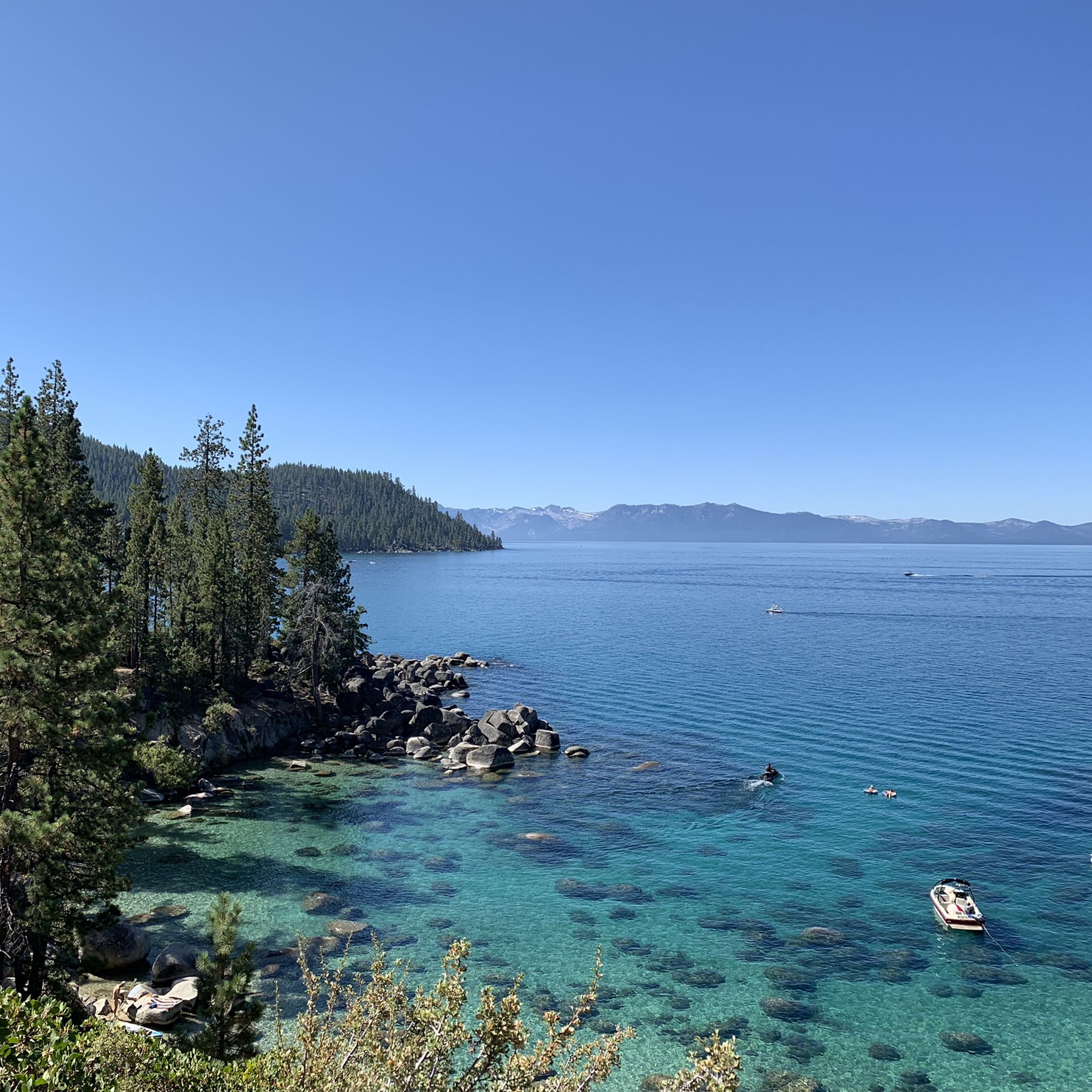
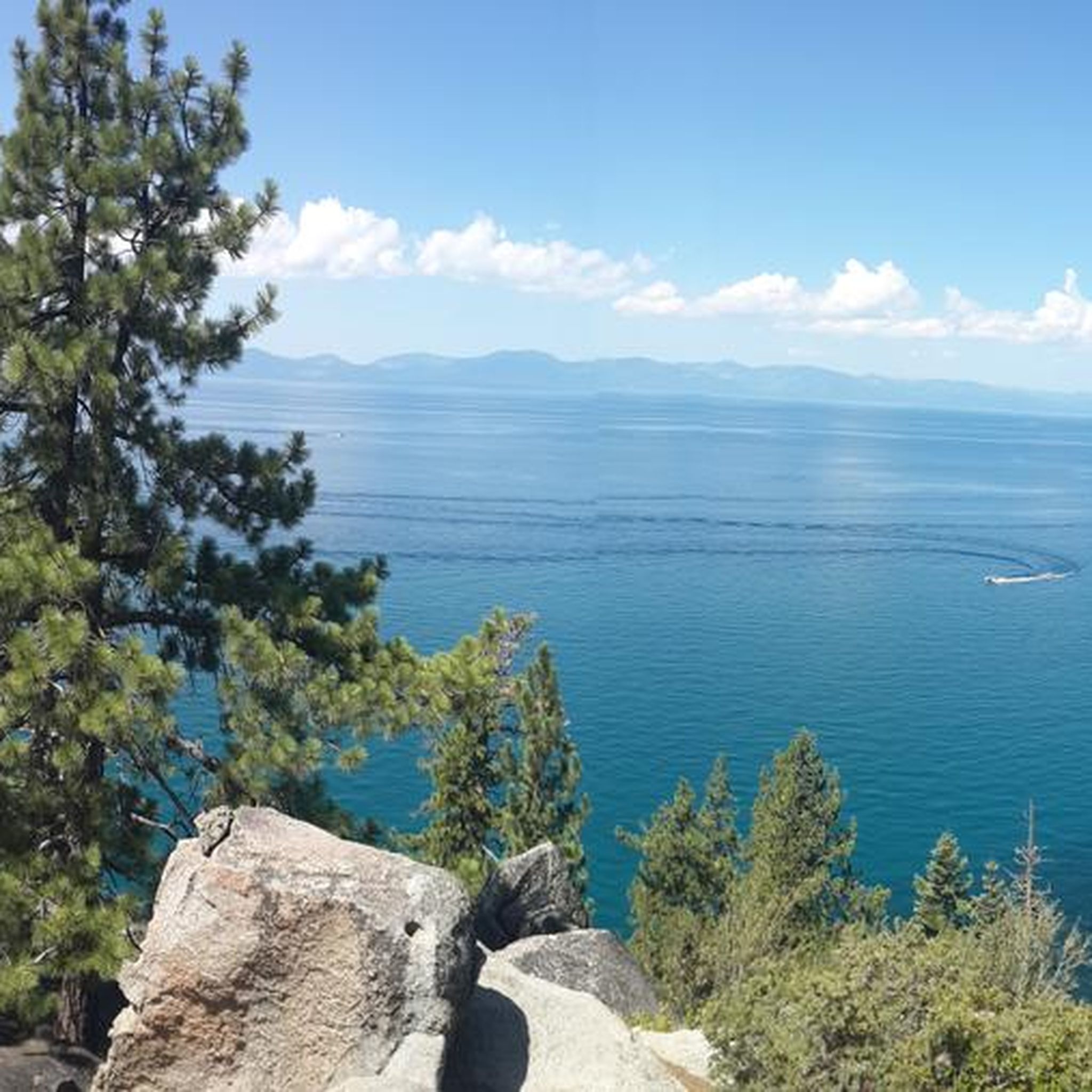
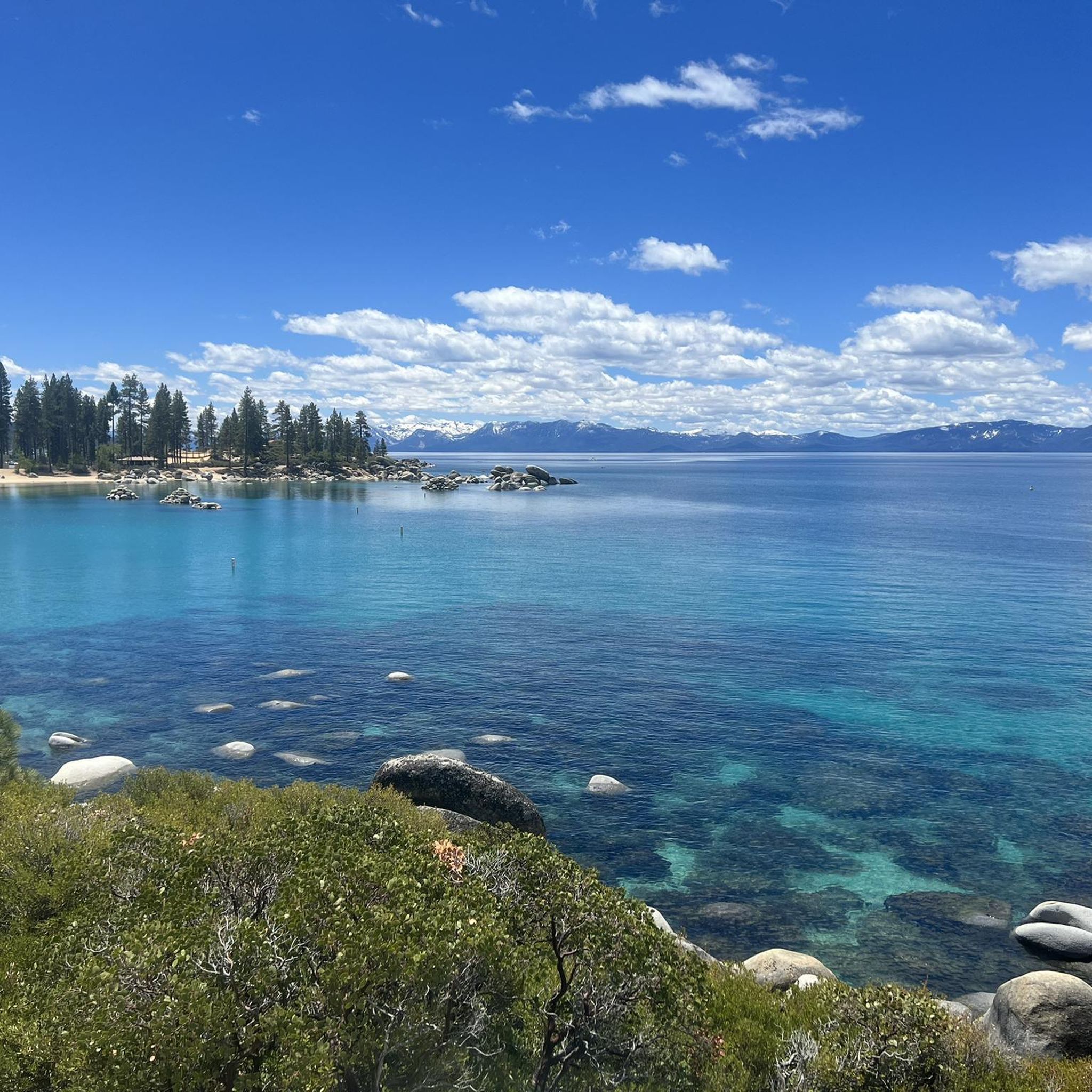

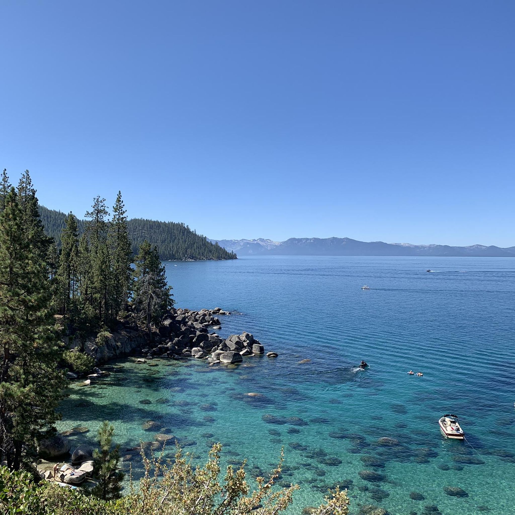
Other adventures around Lake Tahoe

Tips from the Community

Expect access to Marlette Lake to be pretty much nonexistent through 2026, as the nearby trails are closed for repairs at the Marlette Lake dam. You can get closure updates from Nevada State Parks: https://parks.nv.gov/news/trail-closures-at-spooner-lake-state-park-backcountry-for-marlette-dam-repairs
1
0
This forest service road is a popular approach route to Marlette Lake, but it's expected to be closed through 2026 for repairs to the Marlette Lake dam. Until this trail reopens, the Capital to Tahoe Trail is a good riding alternative in the area. You can get updates on the trail closure at Nevada State Parks: https://parks.nv.gov/news/trail-closures-at-spooner-lake-state-park-backcountry-for-marlette-dam-repairs
0
0

If you need a stop to refuel your energy levels, this is the spot for you. Enjoy the idyll and tranquility that you will find here.
1
0

Sunnyside Restaurant & Lodge is an upscale dining establishment right on the water of Lake Tahoe. It is also a getaway lodge with 23 guest rooms. It is a pretty place to visit year-round, as it is open in the summer and the winter.
0
0
Gar Woods is a famous restaurant in the area, known for upscale dining and a unique alcoholic beverage only found here, the Wet Woody. The restaurant was named after Garfield Arthur "Gar" Wood, designer of luxury wooden boats in the 1920s that were once all over this area of Lake Tahoe. It's worth stopping in here for a little bit of history and to try the famous Wet Woody.
0
0
Carnelian Beach West is a small community on the waterfront. There are 530 feet of public beach. Parking is free in the parking lot adjacent to Gar Woods Grill and Pier restaurant. Leashed dogs are welcome here as well.
0
0
The Tahoe Rim Trail, or TRT, goes around all of Lake Tahoe and is open to hikers the whole way and mountain bikers most of the way. By federal law, bikers cannot go on the Desolation, Granite Chief, and Mount Rose Wilderness Areas, as well as the 50-mile section that links up with the Pacific Crest Trail.
0
0

This waterfront area at Lake Tahoe Park is known as William Kent Beach. It's common to spot boats out on the waters of the lake from here, and you can also find a restroom and water fountain.
0
0
Frequently Asked Questions
Are there easy gravel bike trails around Lake Tahoe for beginners?
While many routes in Lake Tahoe are rated moderate to difficult due to the high-altitude terrain, beginners can find suitable options. For instance, the Tahoe Rim Trail – Upper Hello Kitty Trail loop from Carnelian Bay is a moderate 6.8-mile (10.9 km) route that offers a good introduction to gravel biking in the region.
Can I find family-friendly gravel bike routes in Lake Tahoe?
Yes, some gravel routes are suitable for families, particularly those with less elevation gain and smoother surfaces. The Sunnyside Restaurant & Lodge – West Shore Trail loop from Sunnyside-Tahoe City is a moderate 11.2-mile (18.0 km) path that offers scenic views along the lake's west shore and passes by local landmarks, making it enjoyable for a family outing.
What are some challenging gravel routes for experienced riders?
Experienced gravel bikers looking for a challenge will appreciate routes with significant elevation changes and longer distances. The Marlette Flume and Tahoe Rim Trail Loop is a difficult 22.4-mile (36.1 km) trail leading through high-alpine forests and along historic flumes, often completed in about 4 hours 16 minutes. Another demanding option is the Antone Meadows Loop, an 8.4-mile (13.5 km) difficult route through scenic meadows.
Which gravel bike trails offer the best scenic views of Lake Tahoe?
Many routes provide stunning lake vistas. The Sunnyside Restaurant & Lodge – West Shore Trail loop from Sunnyside-Tahoe City offers continuous views of Lake Tahoe's west shore. For panoramic views, consider routes that connect with the Tahoe Rim Trail, such as the Marlette Flume and Tahoe Rim Trail Loop, which provides high-alpine perspectives.
Are there any circular gravel bike routes in Lake Tahoe?
Yes, several routes are designed as loops, allowing you to start and end at the same point. Examples include the Antone Meadows Loop, the Sunnyside Restaurant & Lodge – West Shore Trail loop, and the Marlette Flume and Tahoe Rim Trail Loop, all offering a complete circular experience.
What is the best time of year for gravel biking in Lake Tahoe?
The best time for gravel biking in Lake Tahoe is typically from late spring through early fall (May to October). During these months, the weather is generally mild, and most trails are free of snow. Summer offers warm temperatures and full access, while spring and fall provide cooler rides and vibrant scenery, though some higher elevation trails might still have snow early in the season.
Do I need any permits to go gravel biking in Lake Tahoe?
Generally, no specific permits are required for gravel biking on most public trails around Lake Tahoe. However, always check local regulations for specific areas or events, especially if you plan to ride on private land or in designated wilderness areas. Some sections of the Tahoe Rim Trail may have specific rules regarding bike access.
What interesting places can I explore near the gravel bike trails?
Lake Tahoe's gravel trails often pass by or are close to various attractions. You can explore beautiful beaches like Hidden Beach or Sand Harbor Beach. The Tahoe East Shore Trail is also a popular cycling path nearby, offering stunning lake views and connecting to various points of interest.
Are gravel bike trails in Lake Tahoe dog-friendly?
Many trails in the Lake Tahoe area are dog-friendly, but regulations vary by specific trail and land management agency. It's common for dogs to be allowed on leash on most national forest lands. Always check the specific rules for the trail you plan to ride, as some protected areas or state parks may have restrictions. Remember to pack out all waste.
How can I check current gravel trail conditions in Lake Tahoe?
For the most up-to-date trail conditions, it's best to consult local resources. Websites for the Tahoe Rim Trail Association, local bike shops, or the U.S. Forest Service often provide current information on closures, snowmelt, or maintenance. Komoot's community-generated tour reports can also offer recent insights from other riders.
Are there less crowded gravel biking options around Lake Tahoe?
To find less crowded routes, consider exploring trails slightly off the main tourist paths or riding during off-peak hours (early mornings or weekdays). While popular routes like the Tahoe Rim Trail can see more traffic, options like the Marlette Lake – Marlette Flume Trail loop from Glenbrook, though challenging, might offer a more secluded experience, especially outside of peak summer weekends.
Are there coffee shops near the gravel biking routes in Lake Tahoe?
Yes, Lake Tahoe has numerous towns and communities around its perimeter with coffee shops and cafes. Depending on your starting point, you'll find options in areas like Tahoe City, Incline Village, or South Lake Tahoe. Routes like the Sunnyside Restaurant & Lodge – West Shore Trail loop pass directly by amenities where you can refuel.
Most popular routes around Lake Tahoe
Most popular attractions around Lake Tahoe

Get inspired with the komoot mobile app


Explore more
Browse the best Gravel rides in other regions.
