The best waterfall hikes and walks around Burladingen
4.6
(22059)
94,348
hikers
5
hikes
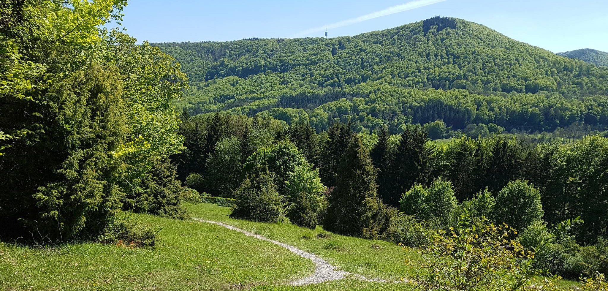
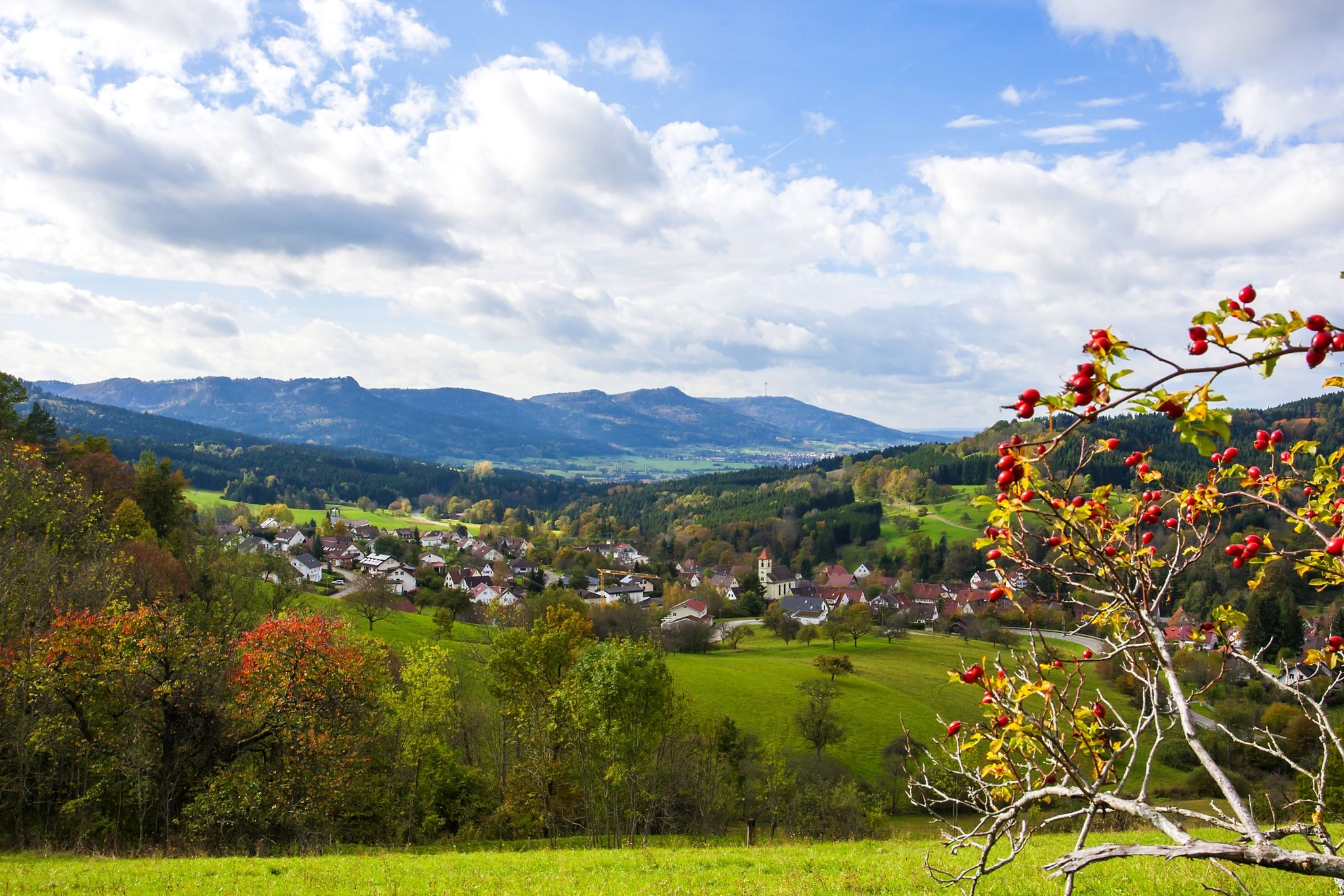
Waterfall hiking trails around Burladingen traverse the diverse landscape of the Swabian Alb. The region is characterized by rolling hills, dense woodlands, and limestone formations, with streams and valleys creating natural cascades. Hikers can explore a mix of open fields, forested paths, and nature reserves. The terrain offers varied elevation changes, from gentle slopes to more challenging ascents.
Best waterfall hiking trails around Burladingen
- The most popular waterfall hiking route is Salmendingen Waterfalls loop from Salmendingen, a 1.8 miles…
Last updated: May 13, 2026
4.7
(18)
65
hikers
Easy hike. Great for any fitness level. Easily-accessible paths. Suitable for all skill levels.
4.9
(45)
212
hikers
Hard hike. Very good fitness required. Mostly accessible paths. Sure-footedness required.

Sign up for free
4.7
(3)
29
hikers
Moderate hike. Good fitness required. Easily-accessible paths. Suitable for all skill levels.
4.7
(3)
8
hikers
Moderate hike. Good fitness required. Easily-accessible paths. Suitable for all skill levels.
5.0
(1)
5
hikers
2.89km
00:52
90m
90m
Easy hike. Great for any fitness level. Easily-accessible paths. Suitable for all skill levels.
Our route recommendations are based on thousands of hikes, rides, and runs completed by other people on komoot.
Start today with a free account
Your next adventure awaits.
Login or Signup
Other adventures around Burladingen


Tips from the Community

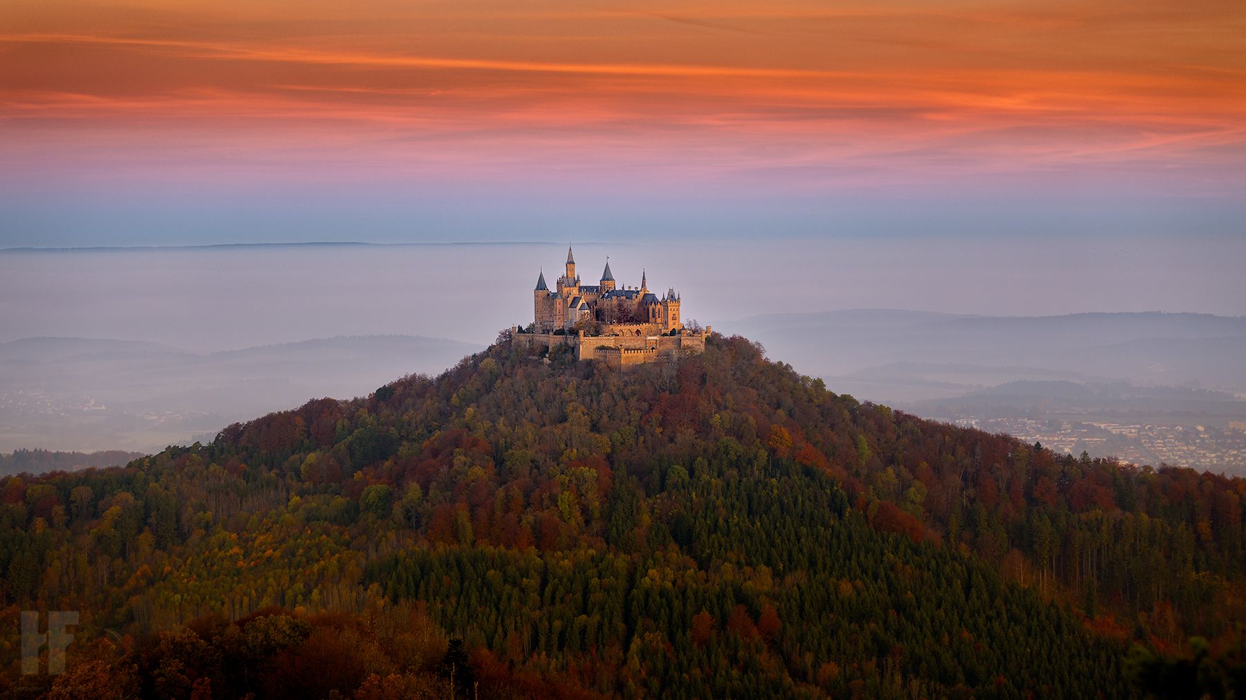
At the AP sign, there is a bench for resting. From here, you have a wonderful view of Hohenzollern Castle and the surrounding region.
0
0

Beautiful panoramic double lounger at the foot of the Kornbühl with a great view over the Alb plateau - Burladingen-Salmendingen - Zollernalbkreis
0
0

Sky lounger at Kornbühl with a wonderful view of the Swabian Jura plateau.
5
0
This spectacle cannot always be experienced. Only melting snow or heavy rainfall makes the water bubble or shoot out of the slope and splash over the calcareous tufa stones. The meltwater and rainwater seep through the karstified limestone of the Monkberg until it meets the marl layers of the Weißen Jura Alpha, which hold back and conduct the water. It then emerges at the valley cut of the Untere Halde as a so-called layer spring, depositing the lime dissolving from the water connection as tufa.
4
0
Fountain encased in stone directly on the hiking trail.
5
0

The parking lot is the starting point for many beautiful hikes. However, when hiking through Salmendinden, you should follow the GPS directions carefully and not shy away from paths behind houses.
0
0
It's a very good starting point for many hikes. However, if you're looking for a route through Salmendingen, you should follow the navigator's instructions precisely and not be put off by paths behind houses.
0
0

Also a suitable starting point for hikes to Köhlberg, Dreifürstenstein, Mössinger Hangrutsch and Salmendingen waterfall.
1
0
Frequently Asked Questions
How many waterfall hiking trails are available around Burladingen?
There are 5 dedicated waterfall hiking trails around Burladingen, offering a range of difficulties from easy strolls to more challenging, longer routes. These trails allow you to explore the diverse landscape of the Swabian Alb, characterized by rolling hills, dense woodlands, and natural cascades.
Are there any easy waterfall hikes suitable for beginners or families with young children?
Yes, for an easy and family-friendly option, consider the Salmendingen Waterfalls loop from Salmendingen. This 1.8-mile (2.9 km) path is relatively flat and leads directly to the beautiful Salmendingen Waterfalls, making it perfect for a relaxed outing.
What is the best time of year to visit the waterfalls in Burladingen?
The waterfalls in Burladingen are beautiful year-round, but they are particularly impressive after periods of heavy rain or during the spring thaw when water levels are high. Spring and autumn also offer pleasant hiking temperatures and vibrant natural colors. In winter, the frozen cascades can create a unique, picturesque scene, though trails might be slippery.
Are there any circular waterfall walks in the Burladingen area?
Many of the waterfall trails around Burladingen are designed as circular routes, allowing you to start and end at the same point. An excellent example is the Kornbühl Nature Reserve – Salmendingen Waterfalls loop from Kornbühl, Bühlberge und Woogtal, which combines views of the nature reserve with the waterfalls on a moderate 8.8-mile (14.2 km) circuit.
What should I bring for a waterfall hike in Burladingen?
For waterfall hikes in Burladingen, we recommend wearing sturdy, waterproof hiking boots as trails near waterfalls can be damp and muddy. Layers of clothing are advisable due to changing weather conditions in the Swabian Alb. Don't forget water, snacks, and a camera to capture the scenic beauty. Trekking poles can also be helpful on steeper or uneven sections.
Are there any longer or more challenging waterfall hikes for experienced hikers?
For those seeking a more challenging adventure, the Information boards landslide – View from Dreifürstenstein loop from Kornbühl is a difficult 18-mile (28.9 km) route. While not solely focused on waterfalls, it offers extensive hiking through the region's diverse terrain, including areas where streams and cascades might be encountered, alongside impressive viewpoints.
What kind of wildlife can be seen near the waterfalls in Burladingen?
The diverse habitats around Burladingen's waterfalls, including dense forests and streams, support a variety of wildlife. You might spot various bird species, small mammals like squirrels and deer, and amphibians near the water. The region is part of the Swabian Alb, known for its rich biodiversity, so keep an eye out for local flora and fauna.
Are there any interesting landmarks or attractions near the waterfall trails?
Absolutely! The region around Burladingen is rich in natural and historical sights. While hiking, you might encounter viewpoints like View of Hohenzollern Castle from the Zeller Horn or Hangender Stein Viewpoint. The Wackerstein is also a notable natural monument nearby. These offer great opportunities to extend your exploration beyond the waterfalls.
What do other hikers enjoy most about the waterfall trails in Burladingen?
The waterfall trails in Burladingen are highly rated by the komoot community, with an average score of 4.6 stars from over 1700 reviews. Hikers often praise the natural beauty of the Salmendingen Waterfalls, the well-maintained paths, and the peaceful atmosphere of the surrounding Swabian Alb landscape. The combination of forest paths and open views is frequently highlighted.
Is there parking available near the waterfall hiking trails?
Yes, most trailheads for waterfall hikes around Burladingen, especially those leading to popular spots like the Salmendingen Waterfalls, have designated parking areas. It's always a good idea to check the specific tour details on komoot for precise parking information before you head out.
Are dogs allowed on the waterfall hiking trails in Burladingen?
Generally, dogs are welcome on hiking trails in the Burladingen region, including those leading to waterfalls. However, it's important to keep them on a leash, especially in nature reserves or areas with wildlife, and to clean up after them. Always respect local signage regarding pet regulations.
Can I combine a waterfall hike with a visit to the Kornbühl Nature Reserve?
Yes, several routes allow you to experience both. The Kornbühl Nature Reserve – Salmendingen Waterfalls loop from Kornbühl, Bühlberge und Woogtal is a prime example, offering a moderate 8.8-mile (14.2 km) hike that beautifully integrates the natural reserve's landscapes with the allure of the Salmendingen Waterfalls.
Most popular routes around Burladingen
Most popular attractions around Burladingen

Get inspired with the komoot mobile app


