Easy hikes and walks around Burladingen
4.6
(23585)
95,134
hikers
235
hikes
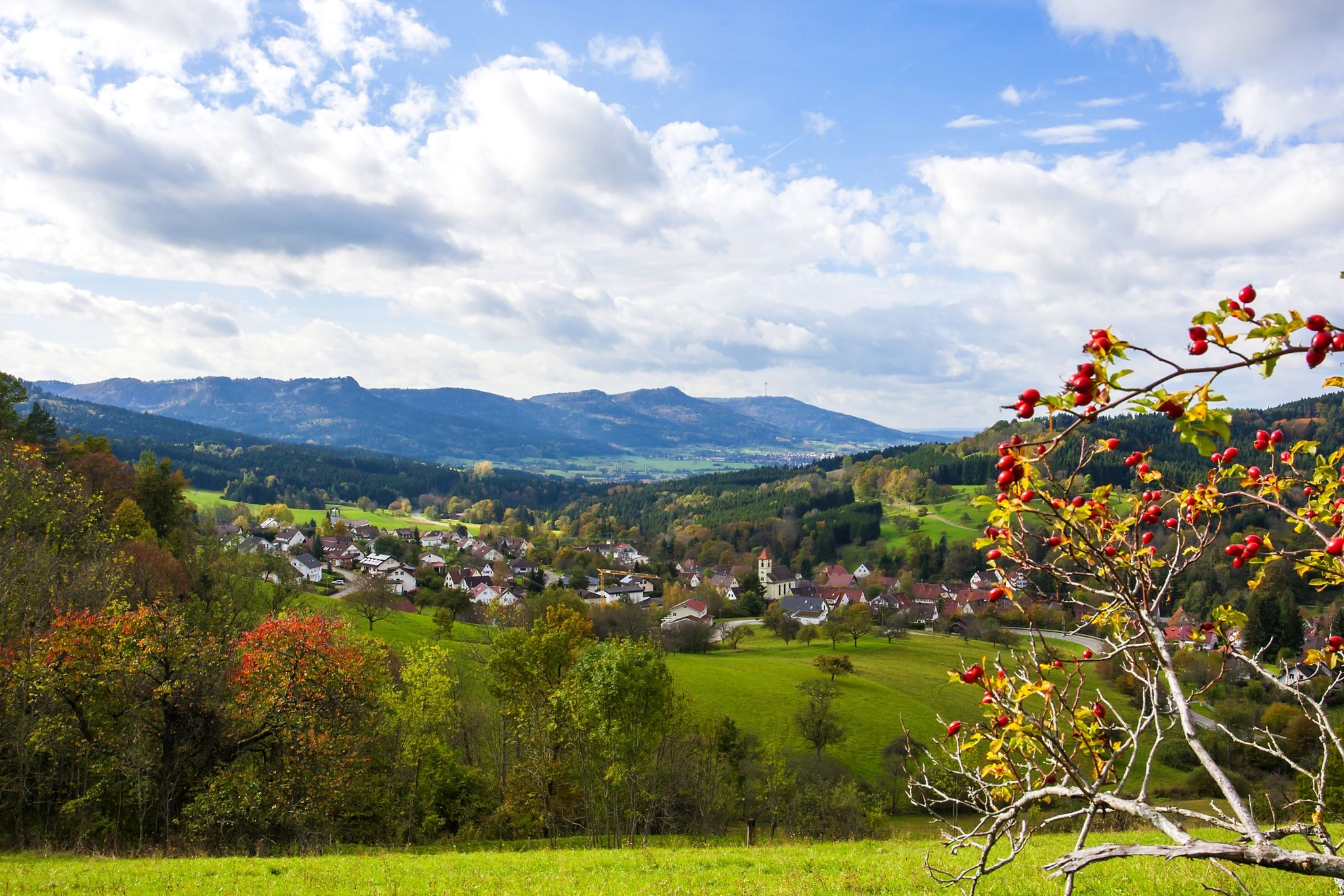
Easy hiking trails around Burladingen are set within the diverse landscapes of the Swabian Alb, characterized by juniper heaths, beech forests, and expansive views. The region features the Albtrauf escarpment, offering dramatic vistas, and the Killertal valley, framed by mountainous surroundings. Numerous hills, such as Weilerwaldkopf and Dreifürstenstein (under 200m for this context), provide accessible viewpoints. This varied terrain ensures a range of easy hiking experiences for all.
Best easy hiking trails around Burladingen
- The most popular easy hiking route…
Last updated: June 30, 2026
4.8
(68)
185
hikers
Easy hike. Great for any fitness level. Easily-accessible paths. Suitable for all skill levels.
4.7
(18)
65
hikers
Easy hike. Great for any fitness level. Easily-accessible paths. Suitable for all skill levels.

Sign up for free
4.5
(13)
53
hikers
5.00km
01:22
70m
70m
Easy hike. Great for any fitness level. Easily-accessible paths. Suitable for all skill levels.
4.5
(22)
95
hikers
Easy hike. Great for any fitness level. Easily-accessible paths. Suitable for all skill levels.
4.7
(18)
39
hikers
Easy hike. Great for any fitness level. Easily-accessible paths. Suitable for all skill levels.
Get access to more routes and recommendations from other explorers.
Sign up for free
Already have an account?
Our route recommendations are based on thousands of hikes, rides, and runs completed by other people on komoot.
Start today with a free account
Your next adventure awaits.
Login or Signup
Other adventures around Burladingen


Tips from the Community

The area is fenced. Measuring devices have been attached to the trees and there are information boards on the fence.
3
0

Melchingen lies on the European watershed between the catchment areas of the Rhine and the Danube. The Lauchert is particularly known for its abundance of trout due to the clean water. At the source in Melchingen, there is a plaque with all important information about the Lauchert and the source. The Lauchert is a tributary of the Danube. Thus, a waterway begins at this source that ends in the Black Sea. The origin of the Lauchert, as is often the case with streams, cannot be precisely determined at a single point. Of the most frequently mentioned sources, the one that forms in the Frenzental, east of the Burladingen sub-municipality of Melchingen, at an altitude of about 760 m, is the only one that provides continuously flowing water. The municipality of Melchingen is located directly on the European watershed. This means that the northern municipal areas drain via the Neckar to the Rhine and the North Sea. The Lauchert, on the other hand, flows into the Danube after 56 km in Sigmaringendorf and from there, after another 2,600 km, into the Black Sea.
5
0

Sonnen-Alb Ranch Schäfer with Alpacas / Llamas - Burladingen-Melchingen - Zollernalbkreis
0
0
Beautiful panoramic double lounger at the foot of the Kornbühl with a great view over the Alb plateau - Burladingen-Salmendingen - Zollernalbkreis
0
0
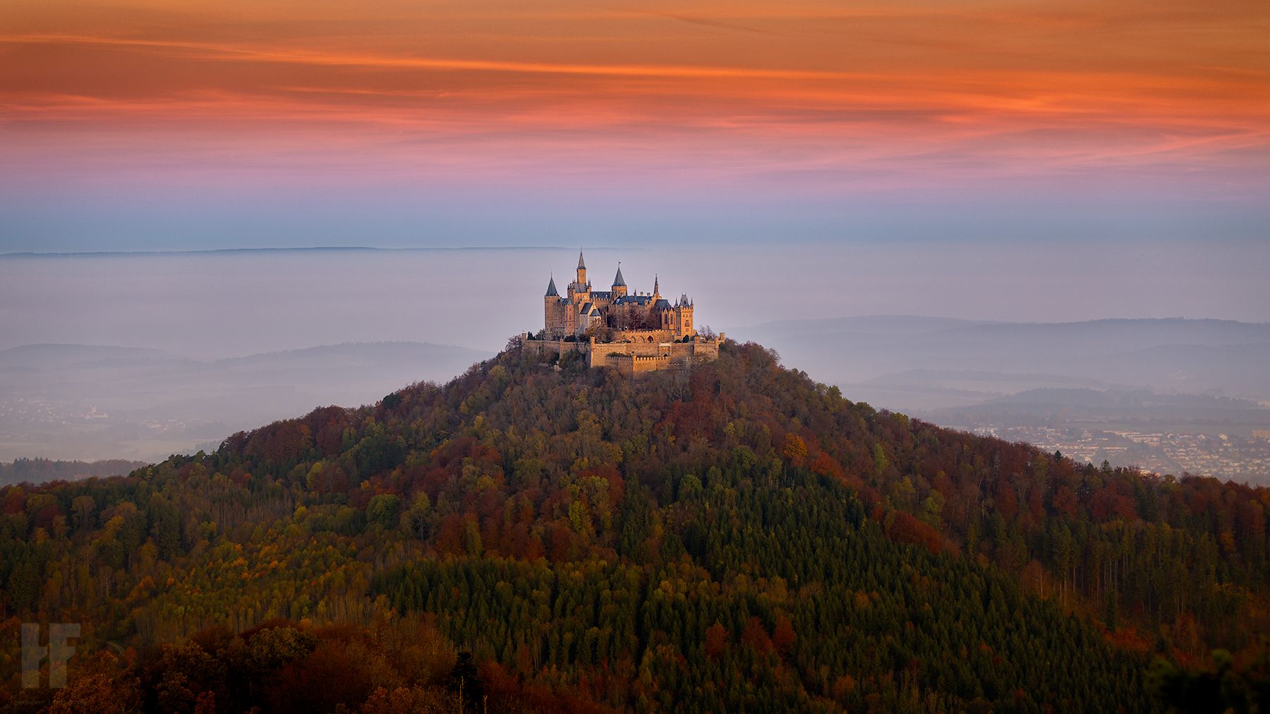
Viewpoint located just a few meters from the wide forest path with a seating area and a view through a wide forest clearing of Hohenzollern Castle and the Albtrauf.
5
0
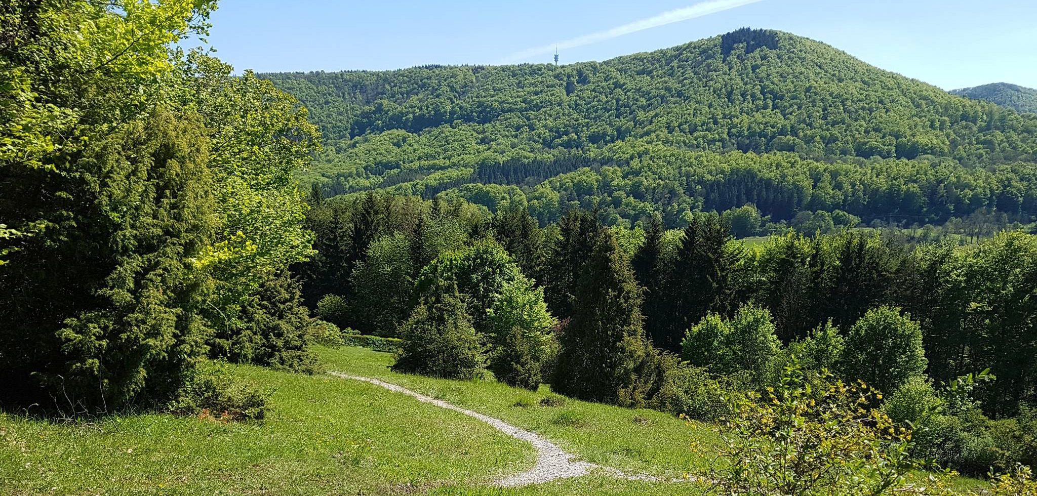
Pleasant walking path along meadows or at the edge of the forest on the Alb plateau.
4
0
Sky lounger at Kornbühl with a wonderful view of the Swabian Jura plateau.
5
0
This spectacle cannot always be experienced. Only melting snow or heavy rainfall makes the water bubble or shoot out of the slope and splash over the calcareous tufa stones. The meltwater and rainwater seep through the karstified limestone of the Monkberg until it meets the marl layers of the Weißen Jura Alpha, which hold back and conduct the water. It then emerges at the valley cut of the Untere Halde as a so-called layer spring, depositing the lime dissolving from the water connection as tufa.
4
0
Frequently Asked Questions
How many easy hiking trails are available around Burladingen?
Burladingen offers a wide selection of easy hiking trails, with over 130 routes specifically categorized as easy. In total, the region features more than 230 hiking routes for various ability levels.
Are there easy hiking trails suitable for families with children in Burladingen?
Yes, many easy trails in Burladingen are suitable for families. The region's diverse landscapes, including juniper heaths and beech forests, provide engaging environments. For a unique experience, consider the Angel Trail, available from November to December, which features hands-on stations and tasks for children.
Are there any circular easy hikes in Burladingen?
Yes, many easy routes in Burladingen are designed as circular paths, allowing you to start and end at the same point. An example is the Traufwaldpfad (Albtrauf Forest Trail) – View from Dreifürstenstein loop from Kornbühl, which offers scenic views.
What kind of scenic views can I expect on easy hikes around Burladingen?
Easy hikes around Burladingen offer diverse scenic views, including expansive vistas over the Swabian Alb, picturesque juniper heaths, and dense beech forests. Notable viewpoints like the Weilerwaldkopf and Dreifürstenstein provide magnificent long-distance views, sometimes extending to Stuttgart or the Black Forest on clear days. You can also find routes with views of the Killertal valley.
Are there any waterfalls or springs to see on easy hikes in the Burladingen area?
While not always active, the Salmendingen Waterfall can be a captivating natural spectacle when flowing. The region also features springs like the Lauchertquelle and Fehlaquelle, adding to the natural beauty you can discover on your hikes.
What are some interesting landmarks or attractions near the easy hiking trails?
Along your easy hikes, you can discover several interesting landmarks. The View from Dreifürstenstein is a popular highlight. You might also encounter the Hohenmelchingen Castle Ruins or the Hölnstein Castle Ruins, which add a historical element to the natural landscape. The region also features unique geological formations like doline fields.
What do other hikers enjoy most about hiking in Burladingen?
The area is highly rated by the komoot community, with an average score of 4.6 stars from over 1700 reviews. Hikers often praise the diverse landscapes, including the juniper heaths and beech forests, and the well-maintained trails that offer accessible experiences for all levels.
Are easy hiking trails in Burladingen generally dog-friendly?
Many easy hiking trails in Burladingen are suitable for dogs, allowing you to explore the natural beauty of the Swabian Alb with your canine companion. It's always recommended to keep dogs on a leash, especially in nature reserves or near livestock, and to carry water for them.
Are there any easy hikes that include a place for refreshments or a cafe?
While specific cafes directly on every easy trail are not guaranteed, the region does feature places like the Stichwirtschaft excursion and restaurant, which can be a good stop for refreshments. Many routes pass through or near villages where you might find local eateries.
What is the best season for easy hikes in Burladingen?
The Swabian Alb offers beautiful hiking experiences throughout the year. Spring brings blooming landscapes, summer provides lush greenery, and autumn showcases vibrant fall colors. Even in winter, some easy trails are accessible, offering a serene, snow-covered experience. The Angel Trail is a unique contemplative walk available from November to December.
Are there less crowded easy hiking options in Burladingen?
While popular routes like the Traufwaldpfad (Albtrauf Forest Trail) can attract visitors, Burladingen's extensive network of over 130 easy trails means you can often find quieter paths, especially during off-peak hours or by exploring lesser-known loops such as the Oberer Hüttenberg loop from Burladingen.
Are there easy hikes with good parking access in Burladingen?
Most trailheads for easy hikes in Burladingen, particularly those starting from villages or popular natural features, generally offer accessible parking options. It's advisable to check local signage upon arrival for specific parking regulations.
Most popular routes around Burladingen
Most popular attractions around Burladingen

Get inspired with the komoot mobile app


Explore more
Browse the best Hikes in other regions.
