The best walks and hikes in Midtskogvatnet Naturreservat
5.0
(1)
13
hikers
2
hikes
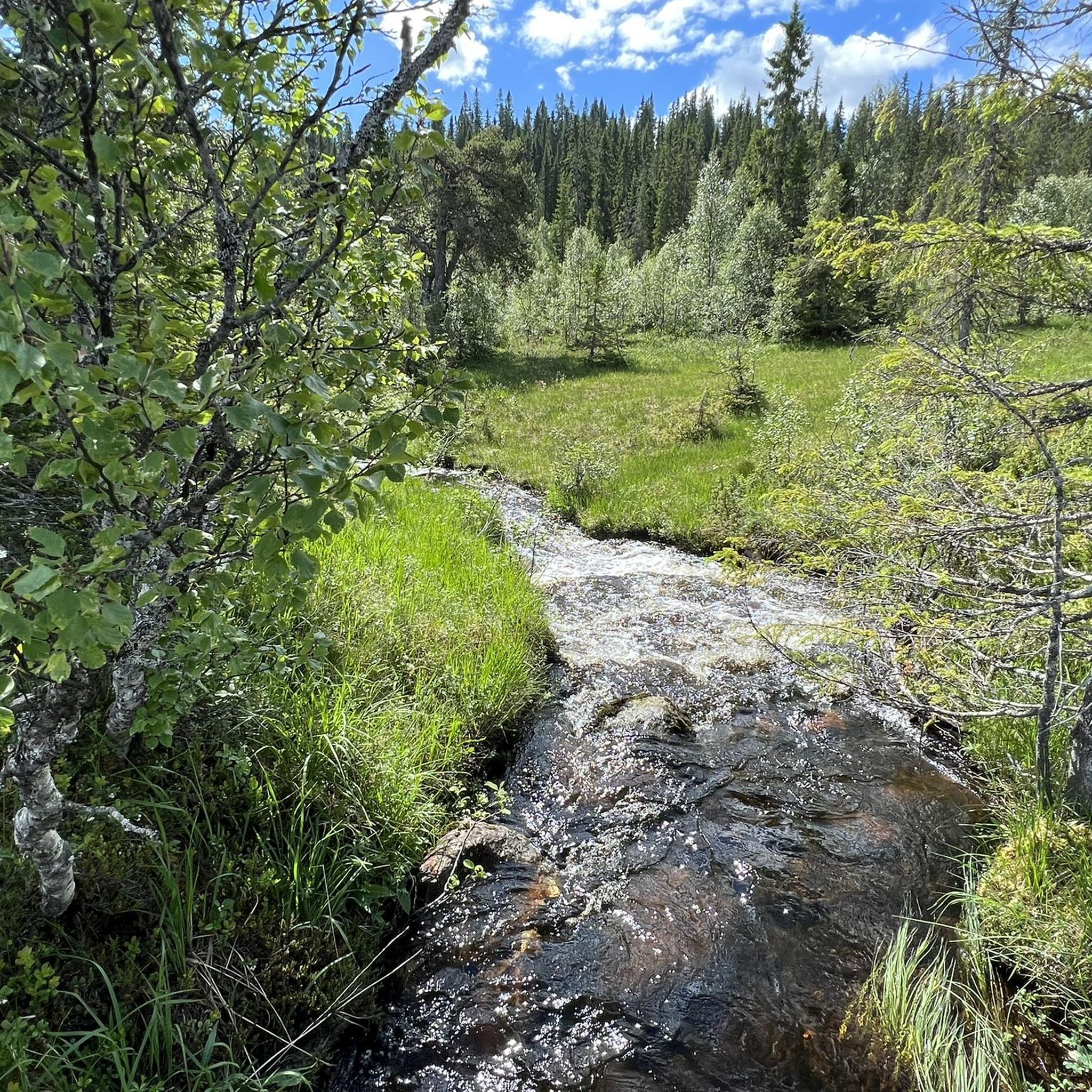
Hiking in Midtskogvatnet Naturreservat offers opportunities to explore natural landscapes within this Norwegian nature reserve. The region provides varied terrain suitable for outdoor activities. It is characterized by natural environments, including hills and potential woodland trails, typical of a protected reserve. These natural settings offer a range of experiences for hikers.
Best hiking trails in Midtskogvatnet Naturreservat
- The most popular hiking route is Storberget – Storsåttån loop from Fannrem, a 6.3 miles (10.1 km) trail that takes about 2…
Last updated: July 4, 2026
3
hikers
3.36km
00:56
60m
60m
Easy hike. Great for any fitness level. Easily-accessible paths. Suitable for all skill levels.
5.0
(1)
5
hikers
8.44km
02:44
320m
320m
Hard hike. Good fitness required. Sure-footedness, sturdy shoes and alpine experience required.

Sign up for free
3
hikers
4.20km
01:19
150m
150m
Easy hike. Great for any fitness level. Easily-accessible paths. Suitable for all skill levels.
2
hikers
10.1km
02:57
270m
270m
Moderate hike. Good fitness required. Easily-accessible paths. Suitable for all skill levels.
Our route recommendations are based on thousands of hikes, rides, and runs completed by other people on komoot.
Start today with a free account
Your next adventure awaits.
Login or Signup
Popular around Midtskogvatnet Naturreservat
Tips from the Community

The Raudhåmmårn features some beautiful woodland trails that provide a tranquil escape just a stone's throw from Orkanger. It's worth being aware that the trails are used by mountain bikers too.
0
0
Raudhåmmårn, also known as Rødkammen, is one of Orkanger's classic walks. The panorama from the viewpoing is superb, with Surnadalsfjella to the south and Geitastradfjella to the north.
0
0

Frequently Asked Questions
How many hiking trails are available in Midtskogvatnet Naturreservat?
There are 5 hiking trails documented in Midtskogvatnet Naturreservat, offering a variety of experiences for different skill levels.
What kind of terrain can I expect when hiking in Midtskogvatnet Naturreservat?
The terrain in Midtskogvatnet Naturreservat is characterized by natural landscapes, hills, and potential woodland trails. It offers varied environments typical of a protected reserve.
Are there any easy hiking routes suitable for beginners or a relaxed walk?
Yes, for an easier experience, consider the Woodland trails loop from Orkdal vidaregåande skole. This route is 4.2 km long and takes about 1 hour 19 minutes to complete. Another easy option is the Kvamssæteråsen – Fannremsseteråsen loop from Spjøtlia, which is 3.4 km and takes around 55 minutes.
What is a good moderate hike in the area?
A popular moderate option is the Storberget – Storsåttån loop from Fannrem. This trail covers 10.1 km and typically takes about 2 hours 57 minutes, featuring significant elevation gain. Another moderate choice is the Hiking loop from Fannremsmo, which is 8.8 km long and offers a balanced experience with some elevation changes.
Is there a more challenging hike for experienced trekkers?
For those seeking a more demanding hike, the View from Raudhåmmårn – Orkanger loop from Gymnaset is classified as difficult. This route spans 8.6 km and involves substantial elevation changes, taking approximately 2 hours 46 minutes to complete.
What do other hikers say about the trails in Midtskogvatnet Naturreservat?
The routes in Midtskogvatnet Naturreservat are highly rated by the komoot community, with an average score of 5.0 stars. Hikers often appreciate the natural landscapes and varied terrain suitable for outdoor activities.
Are there any circular hiking routes available?
Yes, several routes in Midtskogvatnet Naturreservat are circular. Examples include the Storberget – Storsåttån loop from Fannrem, the Hiking loop from Fannremsmo, and the Woodland trails loop from Orkdal vidaregåande skole.
What is the typical duration for hikes in this nature reserve?
Hikes in Midtskogvatnet Naturreservat vary in duration. Shorter, easy trails like the Kvamssæteråsen – Fannremsseteråsen loop from Spjøtlia can be completed in under an hour, while longer, moderate to difficult routes such as the Storberget – Storsåttån loop from Fannrem can take nearly 3 hours.
Is Midtskogvatnet Naturreservat suitable for family hikes?
While specific family-friendly amenities are not detailed, the presence of easy routes like the Woodland trails loop from Orkdal vidaregåande skole suggests that the area can accommodate families looking for shorter, less strenuous walks through natural settings.
What are the elevation changes like on the trails?
Elevation changes vary significantly across the trails. For instance, the Hiking loop from Fannremsmo has minimal elevation gain (18m), while the Storberget – Storsåttån loop from Fannrem features a more substantial ascent of 268m, and the View from Raudhåmmårn – Orkanger loop from Gymnaset includes over 316m of climbing.
Most popular routes in Midtskogvatnet Naturreservat

Get inspired with the komoot mobile app


Explore more
Browse the best Hikes in other regions.
