The best walks and hikes in Warramate Hills Nature Conservation Reserve
4.0
(4)
51
hikers
3
hikes
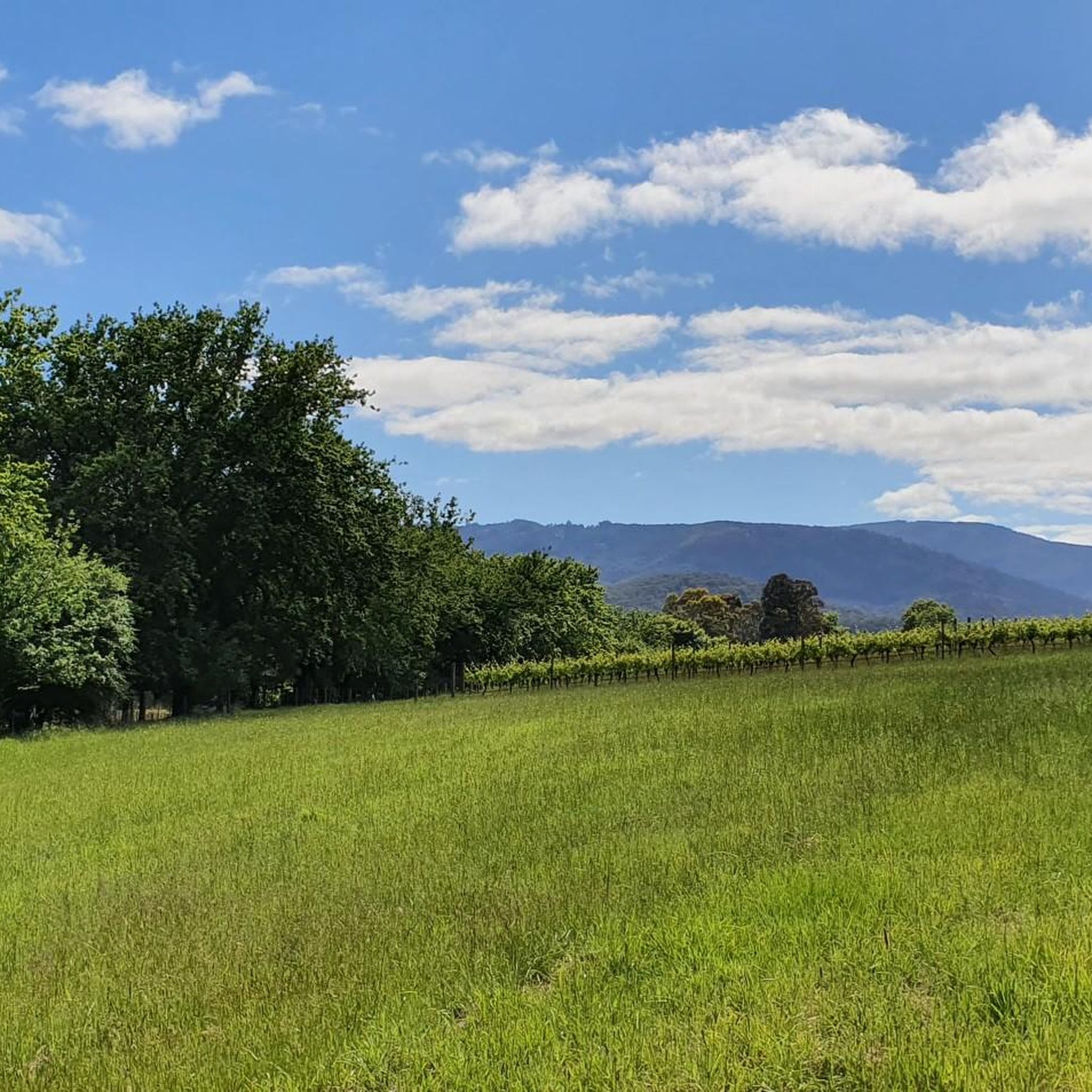
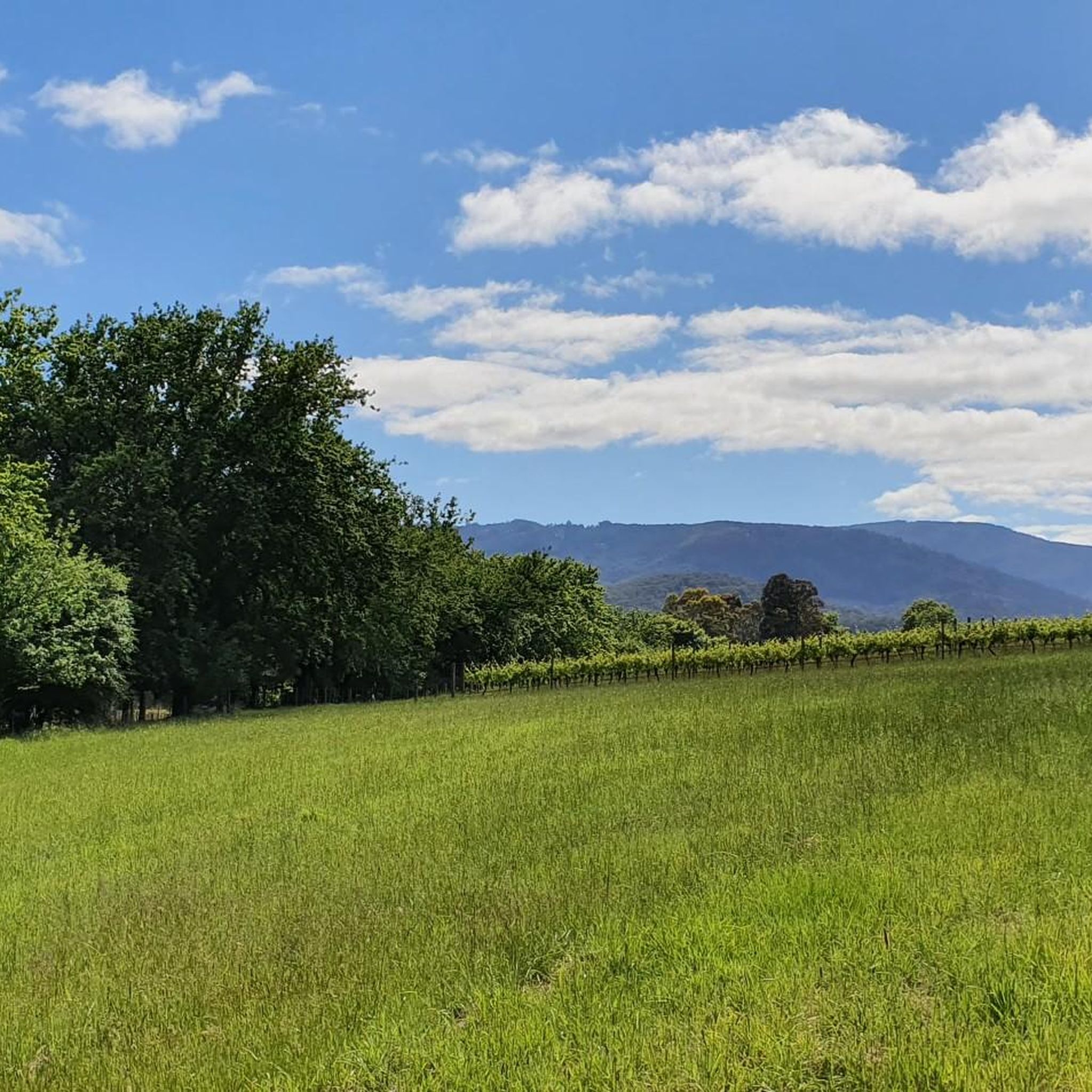
Hiking in Warramate Hills Nature Conservation Reserve offers diverse terrain, from old 4WD tracks and fire trails to wide gravel roads winding through dense forests and open woodlands. The reserve features rolling hills and valleys, providing varied landscapes for exploration. Hikers can experience both gentle ascents and more challenging climbs, with some points offering views across the Yarra Valley. The area includes sections around Woori Yallock Creek, characterized by substantial Manna Gums.
Best hiking trails in Warramate Hills Nature Conservation…
Last updated: November 17, 2026
3.0
(1)
1
hikers
21.5km
05:56
370m
370m
Hard hike. Very good fitness required. Easily walkable paths.
4
hikers
11.8km
03:10
150m
150m
Moderate hike. Good fitness required. Easily walkable paths.

5.0
(2)
25
hikers
2.81km
00:49
70m
70m
Easy hike. Easily walkable paths.
4.0
(1)
21
hikers
12.9km
04:11
590m
590m
Moderate hike. Good fitness required. Easily walkable paths.
22.0km
05:49
200m
200m
Hard hike. Very good fitness required. Easily walkable paths.
Our route recommendations are based on thousands of hikes, rides, and runs completed by other people on komoot.
Start today with a free account
Your next adventure awaits.
Popular around Warramate Hills Nature Conservation Reserve

Tips from the Community

Cog Bikes & Brew Café sits right on the Lilydale to Warburton Rail Trail at 42 Station Road, making it one of those perfectly placed stops where you can refuel your body and bike at the same time. The café serves breakfast and lunch Thursday to Sunday, with coffee that regulars rave about, and the attached bike shop offers hire, repairs, and accessories for anyone setting out on or returning from the trail. It is a relaxed, unpretentious spot with plenty of outdoor seating that feels very much at home on the trail.
0
0
Lilydale to Warburton Rail Trail is a 40-kilometre multi-use path following a former railway line through Victoria's Yarra Valley, linking Lilydale with Warburton. The easy mix of sealed and gravel surfaces passes through bushland, farmland, and several small townships, with multiple restored bridge crossings and the remains of historic stations along the way. It is a well-serviced and accessible route that is equally enjoyable on foot or by bike, and one of the most popular rail trails in Australia.
0
0
The Warburton Waterwheel Visitor Information Centre is just a short walk from the Yarra River and is a great place to stop when exploring the town and surrounding valley. Out front stands a 6-metre replica waterwheel made from yellow stringybark, honouring the original McVeigh’s Waterwheel, which famously survived the Black Friday bushfires of 1939. Inside, you will find an art gallery, locally handmade goods, and friendly volunteers with maps and brochures. While you’re here, take a walk around the back of the building, where you can see the 52 hand-painted historical murals lining the old railway siding.
0
0
Yarra Ranges National Park protects one of Victoria’s largest areas of cool temperate rainforest, stretching from the Dandenong Ranges to the alpine foothills east of Melbourne. Towering mountain ash, lush fern gullies, cascading waterfalls, and rugged mountain scenery provide habitat for native wildlife, including lyrebirds, wombats, and powerful owls. It’s one of the region's most beautiful areas to explore, whether you’re walking to remote summits, wandering rainforest tracks, or visiting one of its many scenic lookouts.
0
0
Mount Riddell track is a challenging return that is best suited for experienced walkers. The route climbs steadily through mountain ash forest to one of the quieter peaks in Yarra Ranges National Park, following old management roads before narrowing into a steeper bush singletrack, with a sustained climb to the summit. It’s a rewarding trek if you’re in good physical shape, and it makes for a peaceful day in the ranges away from the park’s more popular destinations.
0
0
Mount Riddell is a forested peak in Yarra Ranges National Park, rising to 1009 metres above sea level. Most of the summit itself is enclosed by tall mountain ash forest, but you can catch glimpses of the surrounding ridges through nearby clearings across the Yarra Valley, revealing the park’s rugged landscape. It’s a peaceful bush setting, and the sense of remoteness makes it a rewarding destination after a relatively challenging walk.
0
0
Maroondah Reservoir Park is a popular recreation area in the Upper Yarra Valley, just east of Healesville. The park includes an impressive 41-metre-high dam wall that overlooks the reservoir, beautifully landscaped gardens, and surrounding mountains, with picnic areas and a network of walking tracks that lead through eucalypt forest. Established after the dam’s completion in 1927, the park remains a popular destination for picturesque walks, especially when the leaves change into beautiful autumn colours.
0
0

Badger Creek flows through the heart of the Badger Weir picnic area, winding beneath towering Mountain Ash forest and dense fern gullies in one of the wetter parts of the Yarra Ranges. The creek helped shape the surrounding rainforest environment, with clear flowing water, moss-covered rocks, and damp gullies supporting tree ferns and cool temperate forest along its banks.
0
0
Frequently Asked Questions
How many hiking trails are available in Warramate Hills Nature Conservation Reserve?
Komoot features a selection of 3 diverse hiking routes within and around Warramate Hills Nature Conservation Reserve. The reserve itself boasts an extensive network of trails, including old 4WD tracks, fire trails, and wide gravel roads that wind through its varied landscapes.
What kind of terrain can I expect on the trails?
The Warramate Hills offer a diverse terrain, from gentle ascents to more challenging climbs. You'll find yourself on old 4WD tracks, fire trails, and wide gravel roads winding through dense forests and open woodlands. The area is characterized by rolling hills and lush landscapes, with some sections near Woori Yallock Creek being damp and verdant.
Are there any family-friendly hiking options?
Yes, there are options suitable for families. For an easier walk, consider the Badger Weir circuit via Slip and Lyrebird Track, which is just under 3 km with minimal elevation gain. The reserve's varied network also includes less strenuous paths that are great for exploring with children.
Can I bring my dog on the trails?
Generally, dogs are not permitted in Warramate Hills Nature Conservation Reserve to protect the native wildlife. It's always best to check the latest regulations from Parks Victoria before planning your visit, as policies can change or specific restrictions may apply.
What are the best times of year to visit Warramate Hills Nature Conservation Reserve for hiking?
The reserve is beautiful year-round, but it's particularly stunning in autumn when the trees display colorful foliage. Spring is also an excellent time to visit, as wildflowers like sun orchids, milkmaids, and golden everlasting daisies are in full bloom, enhancing the hiking experience.
Are there any circular walks available?
Yes, you can find circular routes in the area. The Maroondah Reservoir Lookout – Maroondah Dam Wall loop from Healesville is a moderate 11.7 km circular hike that offers varied scenery. The reserve itself has several circuit options, such as the Warramate Hills Reserve Circuit, which allows you to experience different aspects of the landscape.
What kind of wildlife can I expect to see?
Warramate Hills is rich in biodiversity. You have good chances of spotting kangaroos, wallabies, and echidnas. Birdwatchers can look out for over 70 native bird species, including powerful owls, parrots, and majestic wedge-tailed eagles. The reserve is also home to the endangered Tree Goanna.
Where can I find parking for the trails?
Access points to the reserve typically have informal parking areas. For specific trailheads, it's advisable to check detailed maps or local information. Many trails can be accessed from roads bordering the reserve, such as Maddens Lane.
Are there any viewpoints or panoramic vistas?
Yes, several points within the Warramate Hills offer stunning views. From various locations, especially along the Warramate Hills Ridgeline and from Steel Hill (395 meters), you can enjoy expansive vistas across the Yarra Valley and towards the Dandenong Ranges.
What do other hikers enjoy most about hiking in Warramate Hills Nature Conservation Reserve?
The area is highly rated by the komoot community, with an average score of 4.0 stars. Reviewers often praise the peaceful ambiance, the unspoiled natural bushland, and the diverse landscapes that provide a true escape into nature.
Are there any longer, more challenging hikes in the vicinity?
For those seeking a longer challenge, the O'Shannassy Aqueduct Trail offers over 21 km of hiking with significant elevation changes, rated as difficult. Another demanding option is the Warburton Rail Trail: Launching Place to Warburton, which is also over 22 km and considered difficult.
Is public transport available to reach the reserve?
Public transport options directly to the Warramate Hills Nature Conservation Reserve are limited. It is generally recommended to access the reserve by car. Some nearby towns like Healesville may have bus services, but onward travel to the reserve trailheads would likely require a taxi or ride-share.
What is the cultural significance of Warramate Hills?
The Warramate Hills hold deep cultural significance as part of Wurundjeri Country. The traditional custodians, the Wurundjeri people, have maintained a strong connection to this land for thousands of years, and its natural landscape still reflects this rich history and heritage.
Most popular routes in Warramate Hills Nature Conservation Reserve

Get inspired with the komoot mobile app


Explore more
Browse the best Hikes in other regions.
