The best road cycling routes in Warramate Hills Nature Conservation Reserve
5.0
(1)
89
riders
6
rides
Road cycling in Warramate Hills Nature Conservation Reserve features a landscape characterized by dense forests with gum trees, open clearings, and panoramic views across the Yarra Valley. The area includes fire trails that can accommodate road cycling, though specific sections may be steep. Prominent geographical features include Briarty Hill, contributing to the varied elevation. The reserve preserves remnant grassy dry forest and box-stringybark woodland.
Best road cycling routes in Warramate Hills Nature Conservation Reserve
- The most popular road cycling route…
Last updated: November 10, 2026
5.0
(1)
53
riders
75.2km
04:50
1,830m
1,830m
Hard road ride. Very good fitness required. Some segments of this route may be unpaved and difficult to ride.
3
riders
36.3km
01:56
660m
660m
Moderate road ride. Good fitness required. Mostly well-paved surfaces and easy to ride.

21
riders
100km
05:55
2,030m
2,030m
Hard road ride. Very good fitness required. Some segments of this route may be unpaved and difficult to ride.
4
riders
36.8km
01:57
660m
660m
Moderate road ride. Good fitness required. Mostly well-paved surfaces and easy to ride.
4
riders
96.4km
05:50
1,930m
1,930m
Hard road ride. Very good fitness required. Some segments of this route may be unpaved and difficult to ride.
Our route recommendations are based on thousands of hikes, rides, and runs completed by other people on komoot.
Start today with a free account
Your next adventure awaits.
Popular around Warramate Hills Nature Conservation Reserve

Tips from the Community

Lilydale to Warburton Rail Trail is a 40-kilometre multi-use path following a former railway line through Victoria's Yarra Valley, linking Lilydale with Warburton. The easy mix of sealed and gravel surfaces passes through bushland, farmland, and several small townships, with multiple restored bridge crossings and the remains of historic stations along the way. It is a well-serviced and accessible route that is equally enjoyable on foot or by bike, and one of the most popular rail trails in Australia.
0
0
The Warburton Waterwheel Visitor Information Centre is just a short walk from the Yarra River and is a great place to stop when exploring the town and surrounding valley. Out front stands a 6-metre replica waterwheel made from yellow stringybark, honouring the original McVeigh’s Waterwheel, which famously survived the Black Friday bushfires of 1939. Inside, you will find an art gallery, locally handmade goods, and friendly volunteers with maps and brochures. While you’re here, take a walk around the back of the building, where you can see the 52 hand-painted historical murals lining the old railway siding.
0
0

Mount Donna Buang is one of the easier alpine lookouts to reach near Melbourne. Its name comes from the Woiwurrung word “Donna Buang,” meaning “the body of the mountain.” The summit observation tower rises above the treetops for wide views over the valley and the Yarra Ranges.
1
0
The Yarra River Walk goes along both sides of the river as it flows through Warburton. The flat, shared-use path is great for a relaxing outing by the river or as a convenient, car-free, way to travel around town.
0
0
Warburton is a small town surrounded by forest and threaded by the Yarra River, giving it a calm, relaxing feel. The river is the town’s main attraction with easy paths, picnic spots, and easy access to town where you'll find heritage buildings, cafés, and the mountains.
0
0

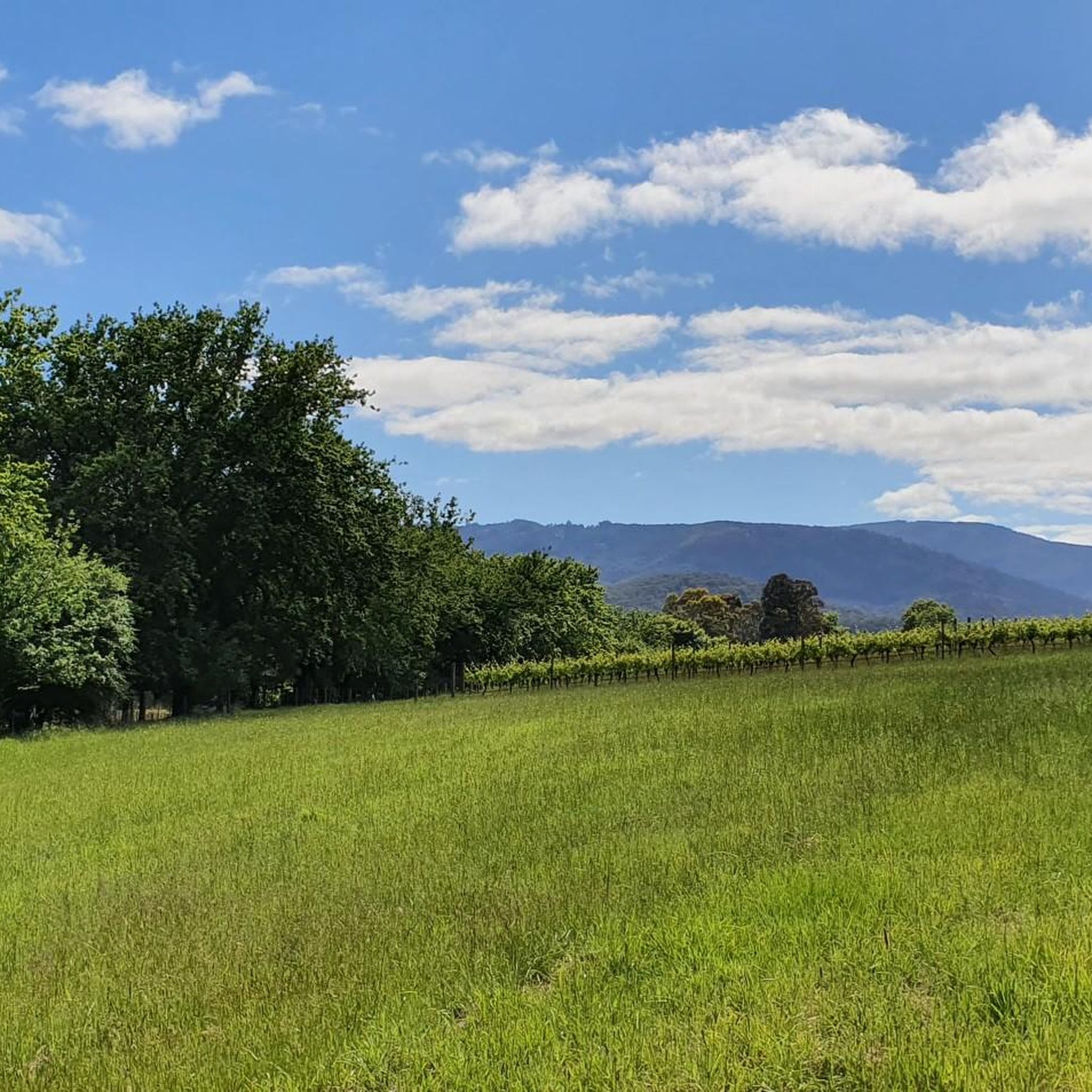
Any part of this trail is great to walk or ride
0
0

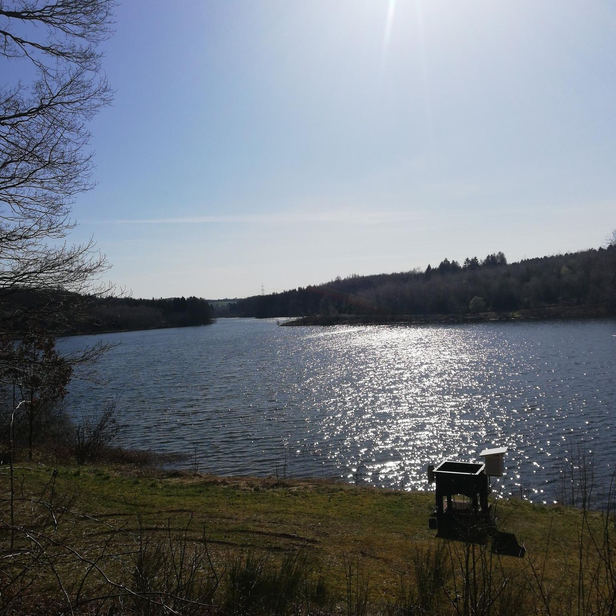
Old railway regraded as a fine gravel trail for cycling or walking
0
0

Frequently Asked Questions
What is the general difficulty level for road cycling in Warramate Hills Nature Conservation Reserve?
The road cycling routes in Warramate Hills Nature Conservation Reserve range from moderate to difficult. You'll find a mix of sustained climbs and varied terrain, with some sections being quite steep. For example, the B.T. Dubs Coffee loop from Woori Yallock is rated difficult, while the Lake Coranderrk loop from Badger Creek offers a moderate challenge.
Are there any family-friendly road cycling routes in Warramate Hills Nature Conservation Reserve?
While the reserve's fire trails can accommodate road cycling, many routes feature moderate to difficult sections with sustained climbs and steep gradients. There are no routes specifically categorized as 'easy' for road cycling in this area, so families with younger children or those seeking very gentle rides might find the terrain challenging.
What kind of landscapes and views can I expect while road cycling here?
Road cycling in Warramate Hills Nature Conservation Reserve offers diverse landscapes. You'll pass through dense forests with towering gum trees, open clearings, and enjoy panoramic views across the Yarra Valley and the broader Yarra Ranges. Prominent geographical features like Briarty Hill contribute to the varied elevation and scenic beauty.
What are the typical trail conditions for road cycling in the reserve?
Road cycling in Warramate Hills Nature Conservation Reserve primarily utilizes wide dirt tracks and fire trails. While these are generally accessible, some sections can be steep, and navigation might be challenging due to scarce signage. Cyclists should be prepared for unpaved surfaces.
Are there specific rules or restrictions for road cyclists in Warramate Hills Nature Conservation Reserve?
Yes, it's crucial to adhere to marked main vehicle tracks only. Mountain bike riding is explicitly permitted only on the main vehicle track, and efforts are underway to protect the flora and fauna from damage caused by unauthorized trails. Sticking to designated paths helps preserve the natural environment.
When is the best time of year to go road cycling in Warramate Hills Nature Conservation Reserve?
Spring is a particularly beautiful time for road cycling in the reserve, as the edges of old fire trails burst with wildflowers like sun orchids, milkmaids, and golden everlasting daisies. The scent of damp clay after rain can also be a unique experience. However, the reserve offers natural beauty year-round, with dense forests providing shade in warmer months.
What wildlife might I encounter while road cycling?
Warramate Hills Nature Conservation Reserve is a haven for wildlife. While cycling, you might spot kangaroos, echidnas, and various bird species, including powerful owls and majestic wedge-tailed eagles circling overhead. It's an ideal location for quiet observation of the natural environment.
Are there any circular road cycling routes available?
Yes, several circular road cycling routes are available. For instance, the Roadbike loop from Healesville and the Yering Station End of the Line loop from Healesville are popular options that allow you to start and finish in the same location.
How many road cycling routes are there in Warramate Hills Nature Conservation Reserve?
There are several road cycling routes available in Warramate Hills Nature Conservation Reserve, offering a variety of distances and difficulty levels to explore the region's unique landscapes.
What are some options for a longer road cycling endurance ride?
For a longer endurance ride, consider the B.T. Dubs Coffee loop from Healesville. This challenging route covers nearly 95.5 kilometers (59.3 miles) with significant elevation gain, typically taking over 5 hours to complete.
What should I know about navigation when road cycling in the reserve?
Signage within Warramate Hills Nature Conservation Reserve can be scarce, which might make navigation challenging. It's advisable to use a reliable navigation tool like komoot or Google Maps to stay on track, especially on the fire trails and main vehicle tracks.
Are there any cafes or places to refuel along the road cycling routes?
While the reserve itself is a natural conservation area, the fan-out queries suggest that there are cafes, pubs, and accommodation options nearby. Many routes, such as the B.T. Dubs Coffee loop from Woori Yallock, are designed to start or pass through towns where you can find places to refuel before or after your ride.
Most popular routes in Warramate Hills Nature Conservation Reserve

Get inspired with the komoot mobile app


Explore more
Browse the best Road cycling routes in other regions.
