The best walks and hikes in Devilbend Natural Features Reserve
4.8
(4)
109
hikers
9
hikes
Hiking in Devilbend Natural Features Reserve offers diverse landscapes centered around Devilbend Reservoir, the largest inland body of water on the Mornington Peninsula. The terrain features a mix of lowland forest, woodlands, and grassy woodlands, transitioning to tranquil waters and shorelines. Visitors can explore a unique pine forest alongside the native bushland. This reserve provides a network of trails suitable for various hiking preferences.
Best hiking trails in Devilbend Natural Features Reserve
- The most popular hiking route is View of…
Last updated: June 30, 2026
4.8
(4)
26
hikers
12.4km
03:10
50m
50m
Moderate hike. Good fitness required. Easily-accessible paths. Suitable for all skill levels.
17
hikers
14.4km
03:45
100m
100m
Moderate hike. Good fitness required. Easily-accessible paths. Suitable for all skill levels.

Sign up for free
9
hikers
7.21km
01:54
60m
60m
Easy hike. Great for any fitness level. Easily-accessible paths. Suitable for all skill levels.
6
hikers
3.84km
01:01
30m
30m
Easy hike. Great for any fitness level. Easily-accessible paths. Suitable for all skill levels.
14
hikers
8.20km
02:09
70m
70m
Moderate hike. Good fitness required. Easily-accessible paths. Suitable for all skill levels.
Get access to more routes and recommendations from other explorers.
Sign up for free
Already have an account?
Our route recommendations are based on thousands of hikes, rides, and runs completed by other people on komoot.
Start today with a free account
Your next adventure awaits.
Login or Signup
Tips from the Community

Devilbend Creek is a tributary of the Balcombe Creek that feeds the Devilbend and Bittern Reservoirs. The creek flows about 8 kilometers before joining Balcombe Creek.
0
0
Devilbend Reservoir is a decommissioned water supply reservoir that is now heavily stocked with rainbow trout and brown trout, and open to bushwalking and biking around its banks. This body of water is also recognised as an Important Bird Area (IBA) by Bird Life International, where threatened Blue-billed Duck and the White-bellied Sea Eagles can be spotted.
0
0
Devilbend Natural Features Reserve spans 1,005 hectares with two decommissioned water supply reservoirs. Both the bodies of water, the Devilbend Reservoir and Bittern Reservoir, are formed by the Devilbend Creek. The park is perfect for flat ground bushwalking and birdwatching.
0
0

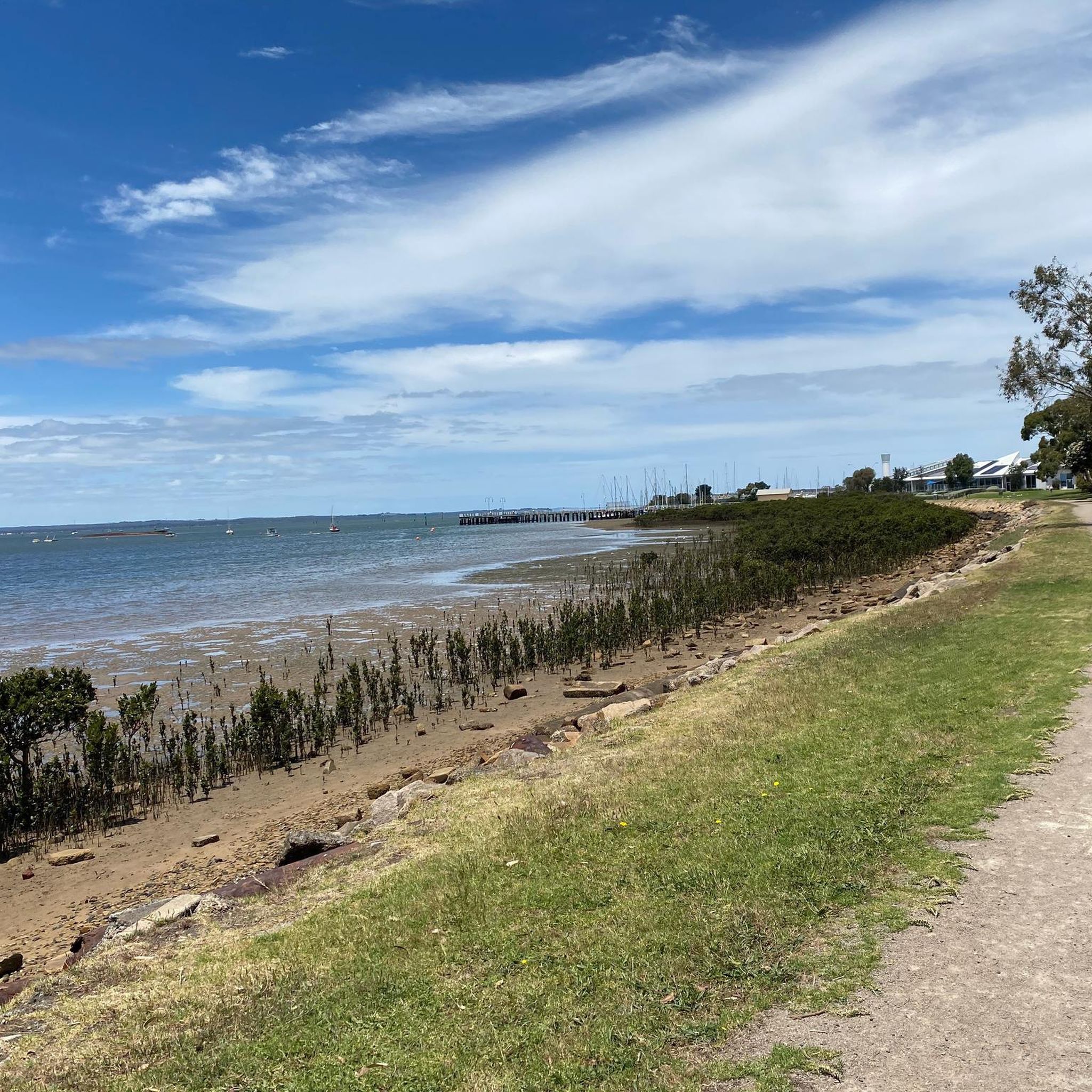
Fosters Beach is a small, sheltered bay beach along this stretch of the Mornington coastline, with calm water and a sandy shoreline. The beach sits below the clifftop track, accessed via steps down from the path. Conditions here are typically more protected compared to the more exposed sections further along the coast. This section of the beach also includes a designated dog off-leash area at certain times, making it a popular spot for locals walking their dogs.
0
0
Nunns Walk follows the clifftop between Linley Point and Fossil Beach, tracing a narrow coastal path through low vegetation. The track is mostly dirt with uneven sections, steps, and short steeper parts, particularly where it drops down toward the beaches. Views open up regularly across Port Phillip Bay, with the path sitting close to the edge in parts. Access points branch off to smaller beaches along the way, making this section feel more varied than a single continuous trail.
0
0
Linley Point is a rocky clifftop lookout at the southern end of Fishermans Beach in Mornington, marking the start of the coastal foreshore track toward Fossil Beach and Mount Martha. The point provides elevated views across Port Phillip Bay toward the You Yangs and Melbourne skyline on clearer days. Below the lookout, the coastline transitions into sandstone cliffs, small coves, and rocky platforms that continue along this stretch of shoreline.
0
0
Frequently Asked Questions
How many hiking trails are available in Devilbend Natural Features Reserve?
Devilbend Natural Features Reserve offers over 15 distinct hiking routes, ranging from easy strolls to more moderate circuits. This variety ensures there's a suitable path for most fitness levels and preferences.
What kind of landscapes can I expect to see while hiking in Devilbend Natural Features Reserve?
The reserve boasts diverse landscapes, including lowland forest, grassy woodland, open grassland, and vital wetland ecosystems. At its heart lies the Devilbend Reservoir, the largest inland body of water on the Mornington Peninsula, offering stunning water views. You can also discover areas with beautiful old pine trees, creating a unique 'magical pine forest' experience alongside native bushland.
Are there any easy, family-friendly walks in the reserve?
Yes, there are several easy trails perfect for families. For a shorter, pleasant walk, consider the Hiking loop from Mount Martha, which is about 4.6 km. Another great option is the Spring Paddock Dam loop from Mount Martha, an easy 6.3 km path winding through varied woodlands and offering views of Spring Paddock Dam.
What are some longer, more challenging hiking options in Devilbend Natural Features Reserve?
For a more extended adventure, the View of the Bay loop from Mount Martha is a moderate 14.4 km trail that takes approximately 3 hours 45 minutes to complete. This route provides continuous views of the reservoir and passes through native bushland. Another moderate option is the View of the Bay loop from Balcombe Creek Bushland Reserve, an 8.0 km trail offering similar scenic views.
Are there any circular routes available for hiking?
Yes, many of the trails in Devilbend Natural Features Reserve are designed as loops, allowing you to start and finish at the same point. Examples include the Spring Paddock Dam loop from Mount Martha and the View of the Bay loop from Mount Martha, providing convenient and scenic circular experiences.
What kind of wildlife can I expect to see?
Devilbend Natural Features Reserve is recognized by BirdLife International as globally important for bird conservation. Keep an eye out for species like the threatened Blue-billed Duck and the majestic White-bellied Sea Eagle, especially around the Devilbend and Bittern Reservoirs. The diverse habitats also support various other native animals.
Are there any facilities or picnic areas in the reserve?
Yes, the Daangean Point Picnic Area is well-equipped with amenities for visitors. You'll find electric barbecues, picnic tables, shelter, and toilets, making it an ideal spot for a break or a meal before or after your hike.
What do other hikers enjoy most about Devilbend Natural Features Reserve?
The area is highly rated by the komoot community, with an average score of 4.0 stars. Reviewers often praise the tranquil reservoir views, the diverse woodlands, and the well-maintained network of trails that cater to different ability levels.
Is Devilbend Natural Features Reserve accessible by public transport?
While the reserve is a natural area, public transport options to its immediate vicinity are limited. It is generally recommended to access Devilbend Natural Features Reserve by car. For detailed information on reaching the reserve, you may consult the official Parks Victoria website: parks.vic.gov.au.
Where can I park when visiting Devilbend Natural Features Reserve?
The reserve offers designated parking areas, particularly at popular access points like the Daangean Point Picnic Area. These facilities are designed to accommodate visitors and provide convenient access to the trailheads and amenities.
Are there any specific viewpoints or scenic spots I should look for?
Absolutely! The Devilbend Reservoir itself is a major scenic highlight, with numerous points offering expansive views across the water. The View of the Bay loop from Mount Martha is specifically named for its continuous reservoir vistas. Additionally, the Daangean Point Track leads to the southern shoreline, providing excellent opportunities for wildlife spotting and panoramic views.
Can I bring my dog on the trails in Devilbend Natural Features Reserve?
To protect the diverse wildlife and natural environment, dogs are generally not permitted in Devilbend Natural Features Reserve. It's always best to check the latest regulations on the official Parks Victoria website before your visit to ensure compliance: parks.vic.gov.au.
Most popular routes in Devilbend Natural Features Reserve

Get inspired with the komoot mobile app


Explore more
Browse the best Hikes in other regions.
