
The best mountain hikes in Pintag
5.0
(1)
98
hikers
5
hikes
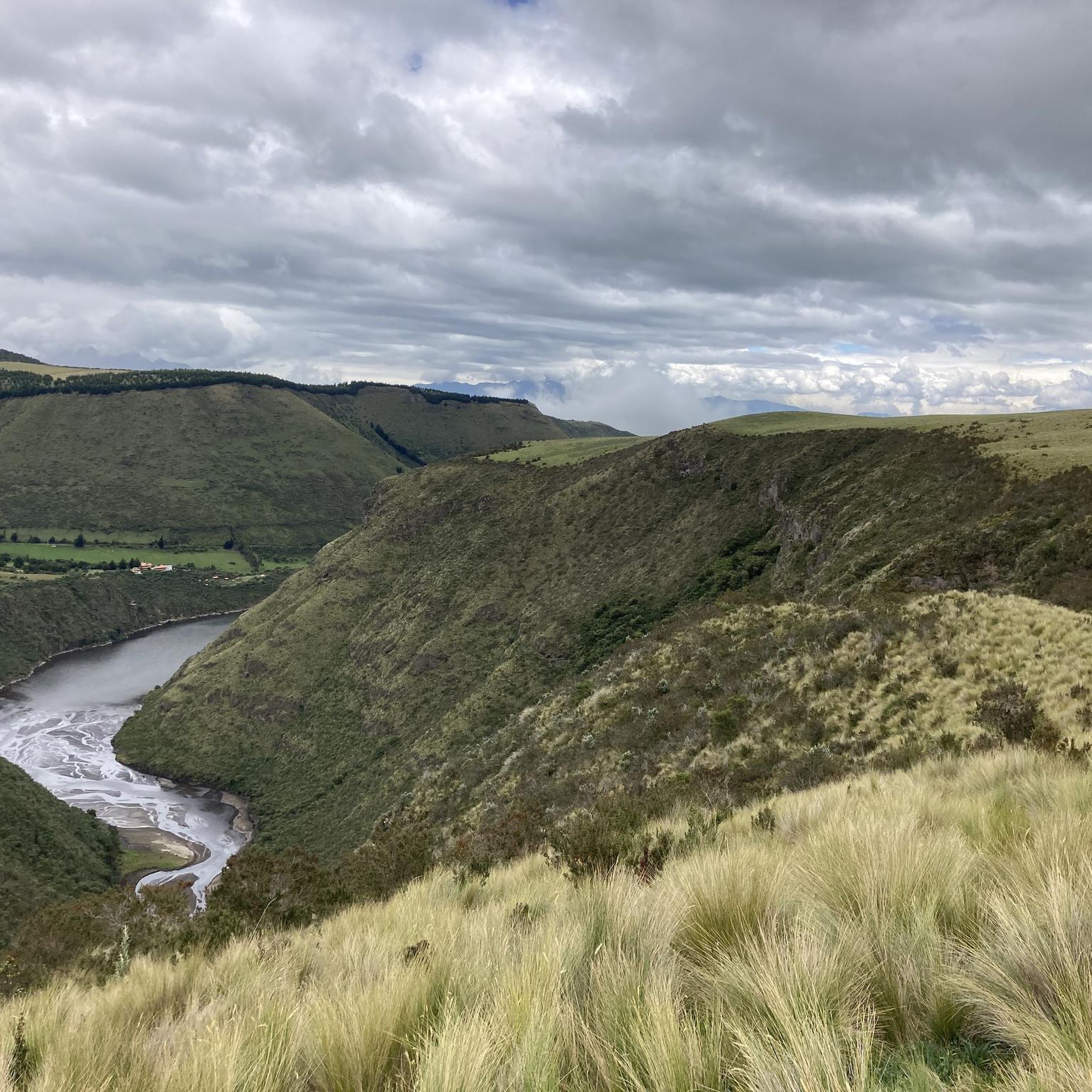
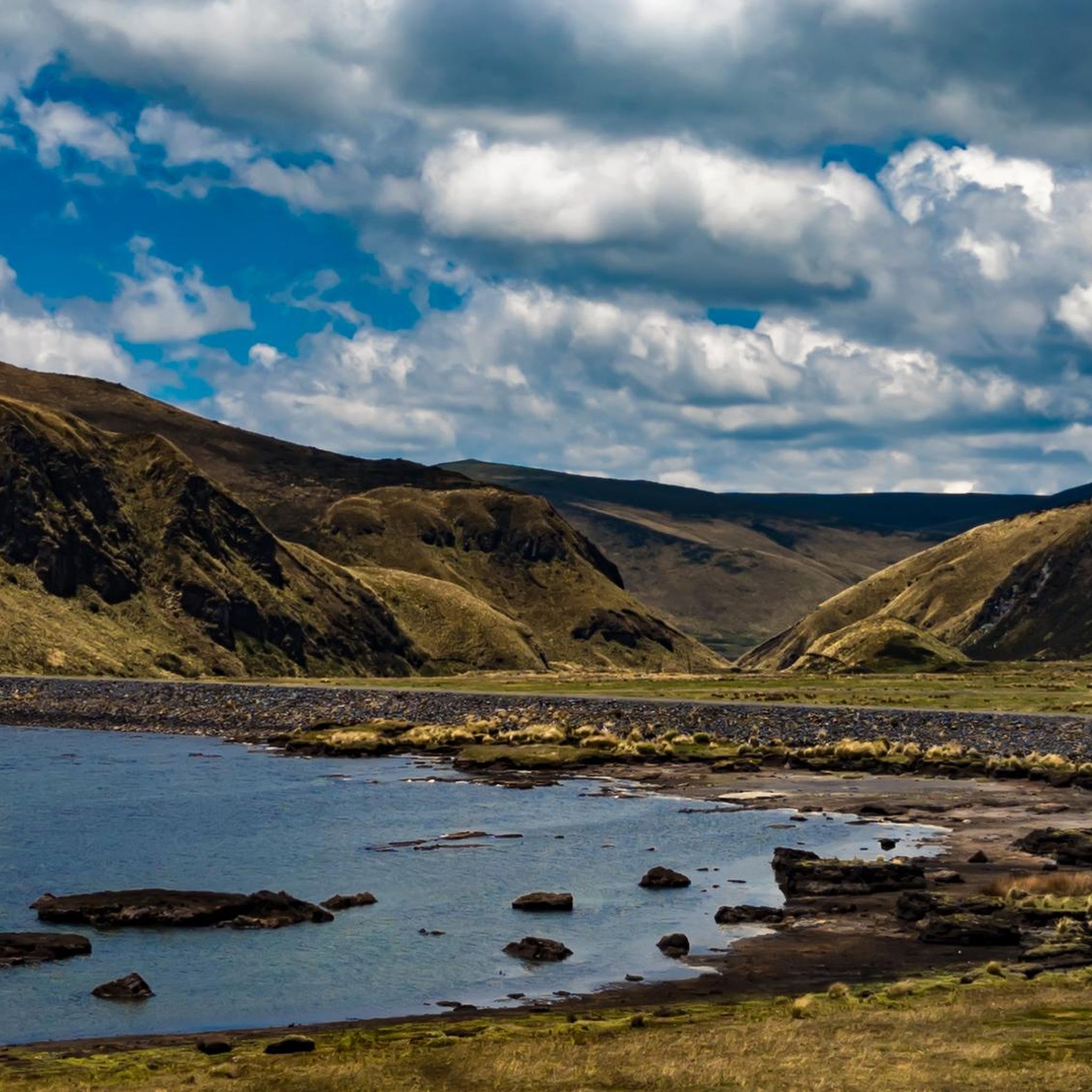
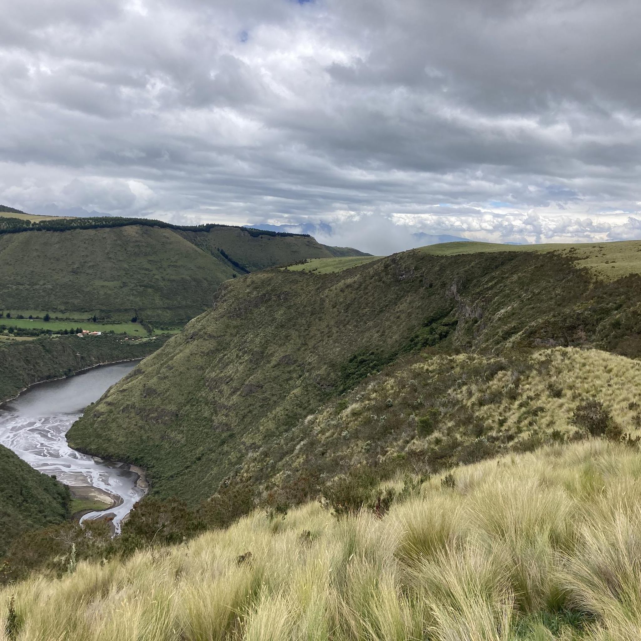
Pintag mountaineering routes traverse a landscape dominated by volcanic peaks and high-altitude páramo ecosystems. Located southeast of Quito, this region features challenging ascents on volcanoes like Rumiñahui and Sincholagua. The terrain includes varied elevations, from grasslands to rocky slopes, offering diverse mountaineering experiences. The area is characterized by its dramatic volcanic grandeur and extensive páramo landscapes.
Best mountaineering routes in Pintag
- The most popular mountaineering route is Rumiňahui central – La Base loop from Möglicher Übernachtungsplatz, a 7.0 miles…
Last updated: July 4, 2026
36
hikers
11.3km
05:22
740m
740m
Hard mountaineering route. Very good fitness required. Sure-footedness, sturdy shoes and alpine experience required.
22
hikers
9.06km
03:17
550m
550m
Moderate mountaineering route. Good fitness required. Easily-accessible paths. Suitable for all skill levels.

Sign up for free
12
hikers
14.5km
05:03
800m
800m
Hard mountaineering route. Very good fitness required. Easily-accessible paths. Suitable for all skill levels.
7
hikers
Moderate mountaineering route. Good fitness required. Easily-accessible paths. Suitable for all skill levels.
8
hikers
9.35km
04:47
710m
710m
Hard mountaineering route. Good fitness required. Sure-footedness, sturdy shoes and alpine experience required.
Our route recommendations are based on thousands of hikes, rides, and runs completed by other people on komoot.
Start today with a free account
Your next adventure awaits.
Login or Signup
Frequently Asked Questions
What kind of mountaineering routes can I expect in Pintag?
Pintag offers a range of mountaineering experiences, primarily characterized by volcanic terrain and high-altitude páramo ecosystems. You'll find routes varying from moderate to difficult, with significant elevation gains. The region is known for its dramatic volcanic grandeur and extensive páramo landscapes.
Are there any moderate mountaineering routes in Pintag suitable for those with some experience?
Yes, Pintag features several moderate routes. For example, the Pasochoa 2 – Pasochoa loop from Hacienda San Francisco de Pasochoa is a moderate 5.6-mile (9.1 km) path exploring the slopes of Pasochoa. Another moderate option is the Pasochoa 2 – Pasochoa loop from Pasachoa, which covers 7.2 miles (11.6 km).
What are some challenging mountaineering routes in Pintag?
For those seeking a challenge, Pintag offers several difficult routes. The Pasochoa loop from Rumipamba is a difficult 9.0-mile (14.5 km) trail leading through volcanic foothills and high-altitude grasslands. Another demanding option is the Sincholahua loop from Ultimo espacio para acampar, a 5.8-mile (9.3 km) route with significant elevation.
What is the best time of year for mountaineering in Pintag?
The best time for mountaineering in Pintag generally aligns with the drier seasons. While the páramo climate can be unpredictable, the months with less rainfall typically offer clearer skies and more stable conditions for ascents. Always check local weather forecasts before heading out.
Are there any circular mountaineering routes in Pintag?
Yes, many of the mountaineering routes in Pintag are designed as loops. Examples include the Pasochoa 2 – Pasochoa loop from Hacienda San Francisco de Pasochoa and the Pasochoa loop from Rumipamba, both offering a return to your starting point without retracing steps.
What natural attractions or landmarks can I see along mountaineering routes in Pintag?
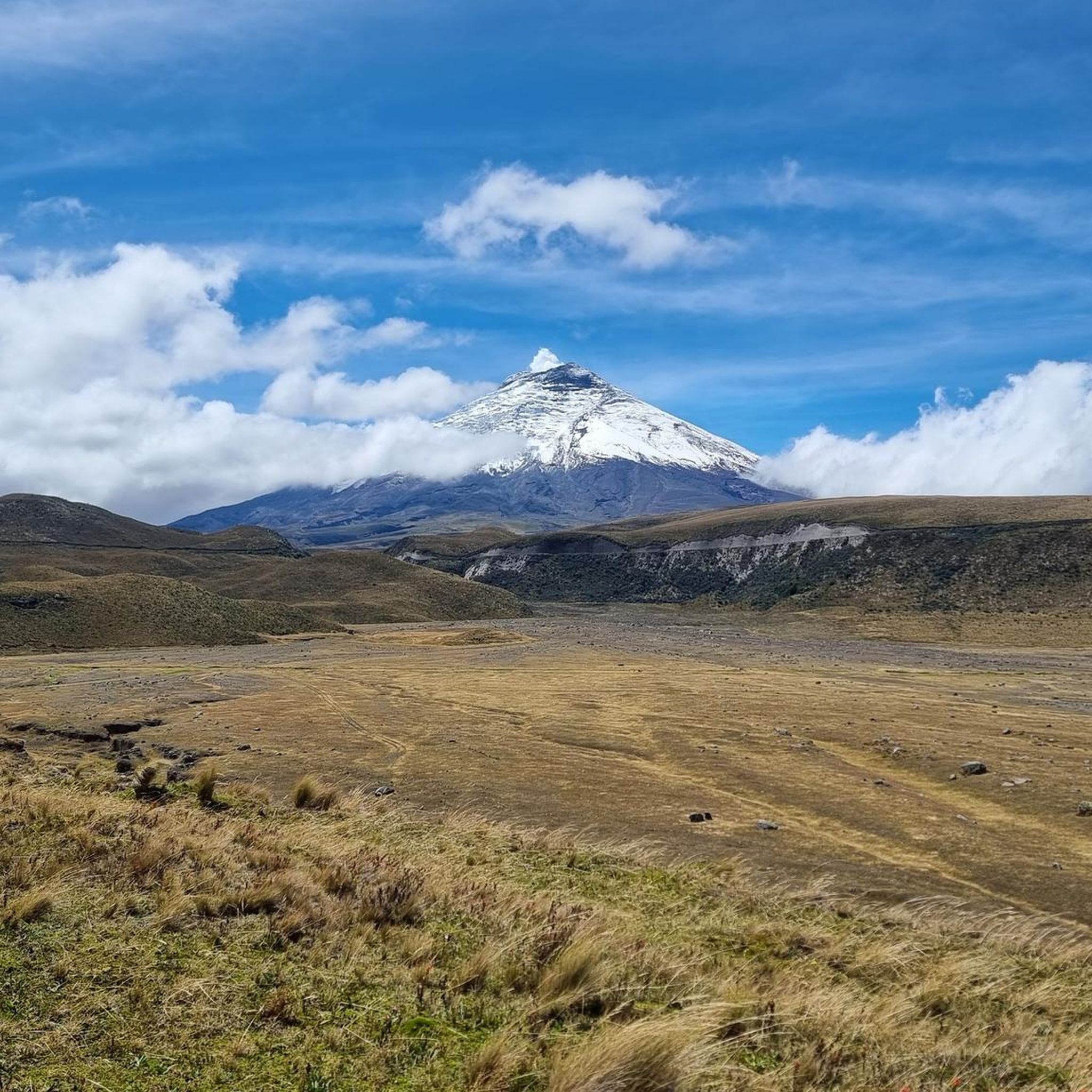
Pintag's mountaineering routes often pass through or near significant natural features. You might encounter the unique páramo ecosystems, high-altitude lagoons, and stunning views of volcanoes like Antisana. Notable attractions include Limpiopungo Lagoon, which offers clear views of Cotopaxi, and the Shore of Laguna de la Mica, known for condor watching opportunities.
Are permits required for mountaineering on specific peaks like Antisana or Rumiñahui?
Mountaineering on major peaks like Antisana and Rumiñahui, especially within protected areas like the Antisana Ecological Reserve or Cotopaxi National Park, often requires permits or registration. It's crucial to check with the Ecuadorian Ministry of Environment or local park authorities well in advance for the most current requirements and any associated fees.
What wildlife might I encounter while mountaineering in Pintag?
The páramo ecosystems and reserves around Pintag are rich in biodiversity. You might spot the majestic Andean condor, various species of hummingbirds, and other unique high-altitude flora and fauna. The Cotopaxi National Park area is also known for its wild horses.
What do other mountaineers say about their experiences in Pintag?
The mountaineering routes in Pintag are highly rated by the komoot community, with an average score of 5.0 stars. Mountaineers often praise the dramatic volcanic landscapes, the challenging ascents, and the unique high-altitude páramo environments that define the region.
Is there public transport available to access mountaineering trailheads in Pintag?
While Pintag is a rural area, some public transport options might get you to the vicinity of the town. However, reaching specific mountaineering trailheads, especially those deeper within reserves like Cotopaxi National Park, often requires private transport, taxis, or organized tours. It's advisable to arrange transportation in advance.
Are there any family-friendly hiking options near Pintag, even if not full mountaineering?
While the primary focus of this guide is mountaineering, the broader Pintag region offers diverse outdoor activities. For families, areas around lagoons like Limpiopungo Lagoon in Cotopaxi National Park provide easier walking trails with stunning views. Tipo-Pugro Lagoon also offers boating, which can be a family-friendly activity.
Most popular attractions in Pintag

Get inspired with the komoot mobile app


Explore more
Browse the best Mountain Hikes & Routes in other regions.
