The best road cycling routes in Pintag
3.5
(2)
83
riders
5
rides
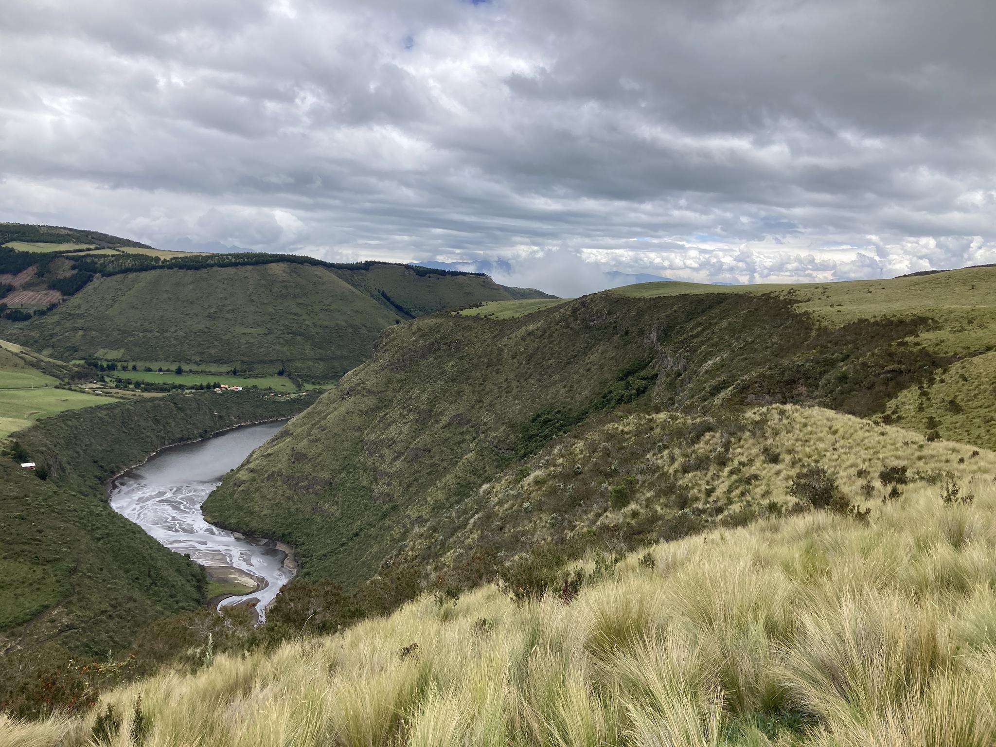
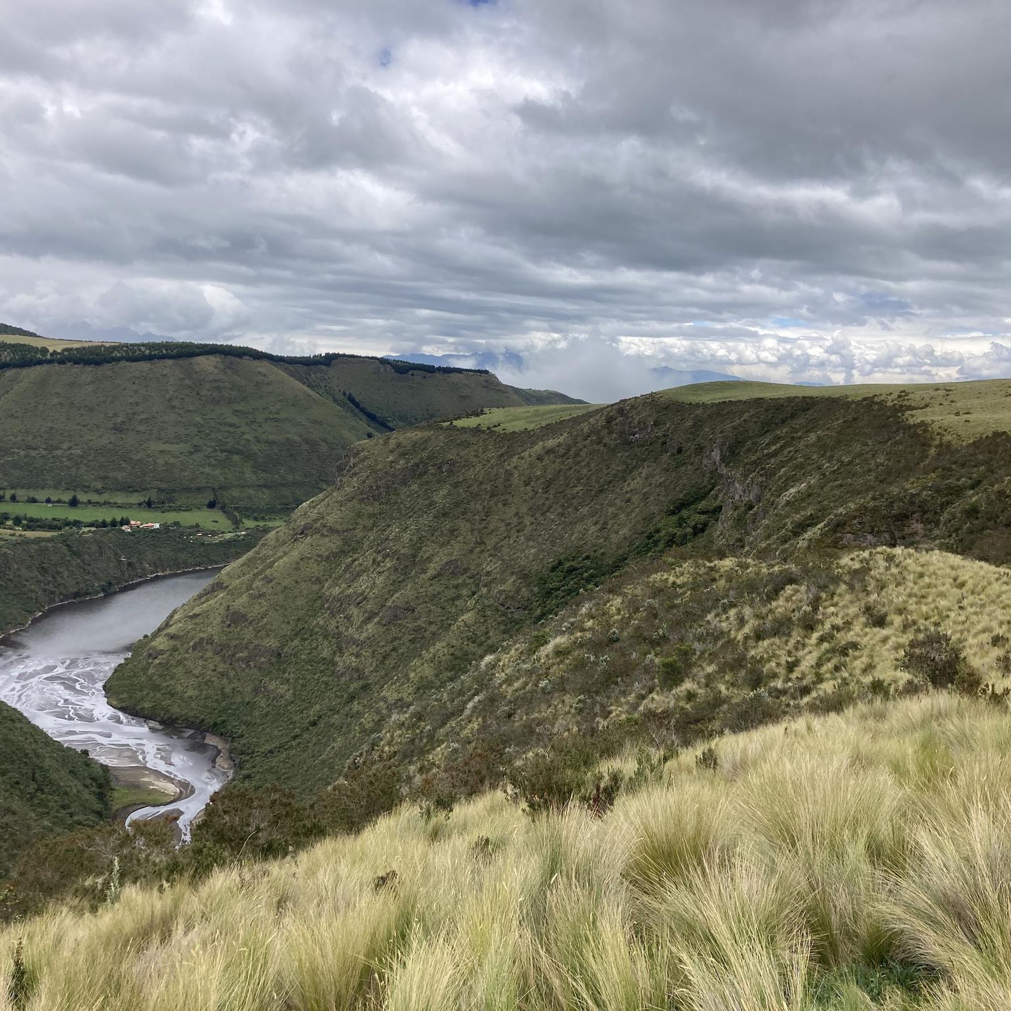
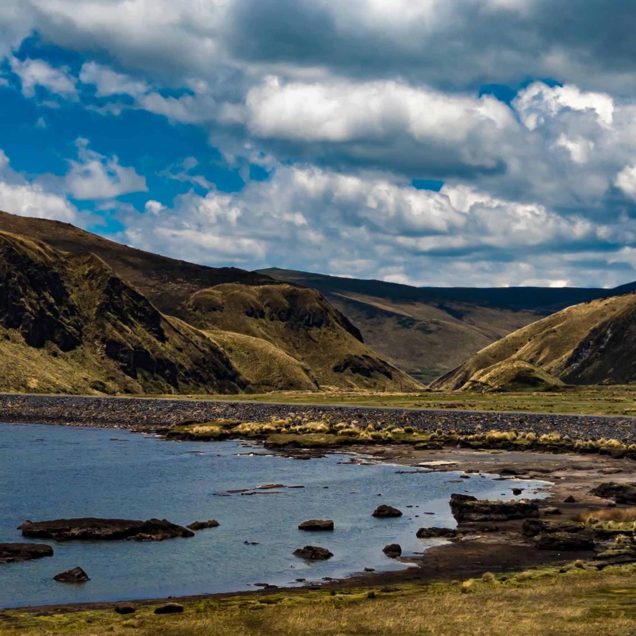
Road cycling routes in Pintag traverse high-altitude Andean páramo ecosystems, characterized by rugged mountainous terrain and sweeping views. The landscape is shaped by prominent volcanoes such as Antisana and Sincholagua, offering challenging ascents and varied topography. This region provides diverse natural features, including grasslands and a complex of lagoons, making it suitable for road cyclists seeking elevation gain and scenic routes.
Best road cycling routes in Pintag
- The most popular road cycling route is Monjas loop from Entrada a Alcantara…
Last updated: July 11, 2026
24
riders
73.7km
04:05
1,530m
1,530m
Hard road ride. Very good fitness required. Mostly well-paved surfaces and easy to ride.
3.0
(1)
11
riders
39.0km
02:01
660m
660m
Moderate road ride. Good fitness required. Mostly well-paved surfaces and easy to ride.

Sign up for free
4.0
(1)
11
riders
33.2km
01:34
320m
320m
Moderate road ride. Good fitness required. Mostly well-paved surfaces and easy to ride.
10
riders
53.2km
02:45
750m
750m
Moderate road ride. Good fitness required. Mostly well-paved surfaces and easy to ride.
6
riders
62.1km
03:40
1,370m
1,370m
Hard road ride. Very good fitness required. Mostly well-paved surfaces and easy to ride.
Our route recommendations are based on thousands of hikes, rides, and runs completed by other people on komoot.
Start today with a free account
Your next adventure awaits.
Login or Signup

Frequently Asked Questions
What kind of terrain can I expect on road cycling routes in Pintag?
Pintag's road cycling routes primarily traverse high-altitude Andean páramo ecosystems. You can expect rugged mountainous terrain with sweeping views, shaped by prominent volcanoes like Antisana and Sincholagua. The region features diverse natural elements, including extensive grasslands and a complex of picturesque lagoons, offering both challenging ascents and scenic routes.
Are there challenging road cycling routes in Pintag for experienced riders?
Yes, Pintag offers several challenging routes. For instance, the Monjas loop from Entrada a Alcantara is a difficult 45.8-mile (73.7 km) trail with significant elevation gain. Another demanding option is the Mirador Isco loop from Italimentos Regional Norte, which covers 62.1 miles (100 km) and also features substantial climbs.
What are some moderate road cycling routes in Pintag?
For those seeking a moderate challenge, the Cisne loop from Playa Chica 2 is a popular choice. This 24.2-mile (39.0 km) path offers varied terrain with views of the high-altitude environment. Another moderate option is the Amaguaña Armario 1 – Castillo de Amaguaña Etapa I loop from La Armenia, spanning 33.6 miles (54.1 km).
What natural features or landmarks can I see along road cycling routes in Pintag?
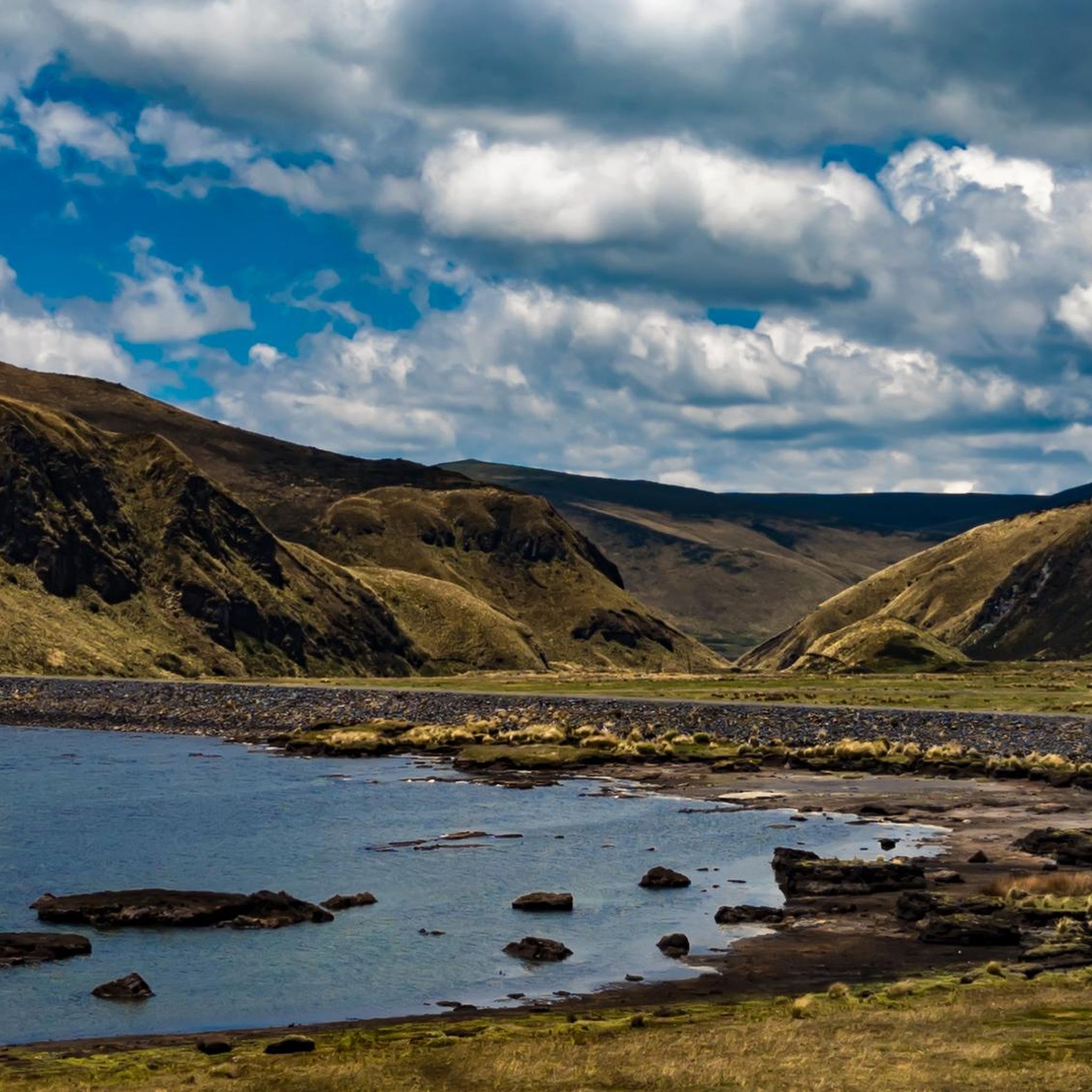
Pintag's routes offer stunning natural beauty. You can encounter high-altitude páramo, volcanic landscapes, and extensive grasslands. The region is known for its lagoons, such as La Mica, Muertepungo, and Tipo-Pugro, which provide picturesque stopping points. The Antisana volcano often dominates the skyline, and the Antisana Ecological Reserve is a sanctuary for diverse wildlife, including the Andean condor.
Are there any scenic viewpoints or attractions accessible by road bike in Pintag?
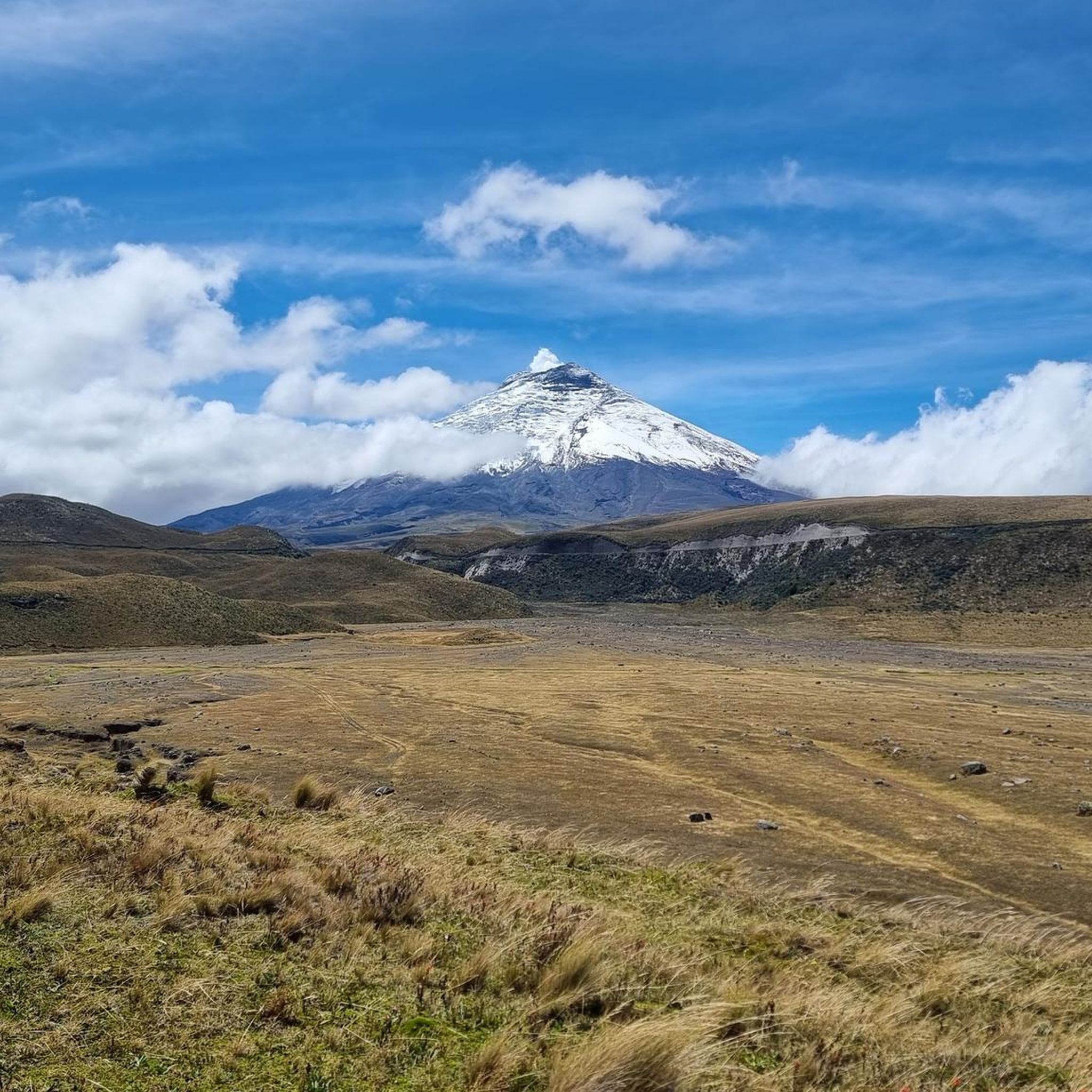
Absolutely. Many routes offer breathtaking views of the Andean landscape and prominent volcanoes. You might pass by the Limpiopungo Lagoon or enjoy a view of Limpiopungo Lagoon and Cotopaxi. The shore of Laguna de la Mica is another beautiful spot. The region's diverse natural features, including its complex of lagoons and the majestic Antisana volcano, provide numerous scenic opportunities.
What is the best time of year to go road cycling in Pintag?
Pintag's high-altitude climate means conditions can vary. Generally, the dry season (roughly June to September) offers more stable weather with clearer skies, which is ideal for enjoying the panoramic views of the páramo and volcanoes. However, even during the wet season, mornings can often be clear, making it possible to cycle year-round with appropriate gear.
Are there any family-friendly road cycling options in Pintag?
While many routes in Pintag involve significant elevation and challenging terrain, some sections or shorter loops might be suitable for families with older, experienced children. The region's diverse topography means that while there are no 'easy' routes listed, moderate paths like the Roadbike loop from Capelo could be considered, depending on the family's fitness level. Always check the route's elevation and distance carefully.
Are there loop road cycling trails available in Pintag?
Yes, all the featured road cycling routes in Pintag are loops, offering convenient starting and ending points. Examples include the Monjas loop from Entrada a Alcantara, the Cisne loop from Playa Chica 2, and the Roadbike loop from Capelo.
What do other road cyclists enjoy most about road cycling in Pintag?
The area is highly rated by the komoot community, with an average score of 3.5 stars. Reviewers often praise the unique experience of cycling through high-altitude Andean páramo, the stunning volcanic landscapes, and the extensive grasslands. The challenging ascents and breathtaking vistas are frequently highlighted as key attractions for road cyclists.
Are there places to eat or find accommodation near the road cycling routes in Pintag?
Pintag is a rural parish, but as a destination for outdoor activities, you can find local establishments. While specific cafes or accommodations directly on the routes are not detailed, the town of Pintag itself and surrounding areas would offer options. It's advisable to plan your stops in advance, especially for longer rides, as services might be spread out in this mountainous region.
What are the typical distances and elevation gains for road cycling routes in Pintag?
Road cycling routes in Pintag vary significantly. Distances range from approximately 20.6 miles (33.2 km) for routes like the Roadbike loop from Capelo, up to 45.8 miles (73.7 km) for the Monjas loop from Entrada a Alcantara. Elevation gains can be substantial, with some routes featuring over 1,500 meters (4,900 feet) of climbing, reflecting the region's mountainous terrain.
Most popular attractions in Pintag

Get inspired with the komoot mobile app


Explore more
Browse the best Road cycling routes in other regions.
