The best walks and hikes in Bojacá
4.7
(24)
163
hikers
10
hikes
Hiking in Bojacá offers diverse landscapes, transitioning from the flat grasslands of the Bogotá savanna to mountainous Andean forest ecosystems. The region features significant altitude variations, with trails descending from high-altitude plains to warmer thermal zones. Natural attractions include waterfalls like El Velo and historical sites such as Piedras del Chivo Negro Archaeological Park, which features Muisca petroglyphs.
Best hiking trails in Bojacá
- The most popular hiking route is Velo de Novia Waterfall loop from Bojacá urbana, a 10.1…
Last updated: July 4, 2026
4.6
(8)
64
hikers
9.01km
03:29
630m
630m
Moderate hike. Good fitness required. Easily-accessible paths. Suitable for all skill levels.
4.8
(8)
27
hikers
9.39km
02:53
300m
300m
Moderate hike. Good fitness required. Easily-accessible paths. Suitable for all skill levels.

Sign up for free
4.3
(3)
13
hikers
16.2km
05:38
840m
840m
Hard hike. Very good fitness required. Easily-accessible paths. Suitable for all skill levels.
5
hikers
3.22km
01:04
150m
140m
Easy hike. Great for any fitness level. Easily-accessible paths. Suitable for all skill levels.
5.0
(1)
6
hikers
8.57km
02:51
440m
440m
Moderate hike. Good fitness required. Easily-accessible paths. Suitable for all skill levels.
Get access to more routes and recommendations from other explorers.
Sign up for free
Already have an account?
Our route recommendations are based on thousands of hikes, rides, and runs completed by other people on komoot.
Start today with a free account
Your next adventure awaits.
Login or Signup
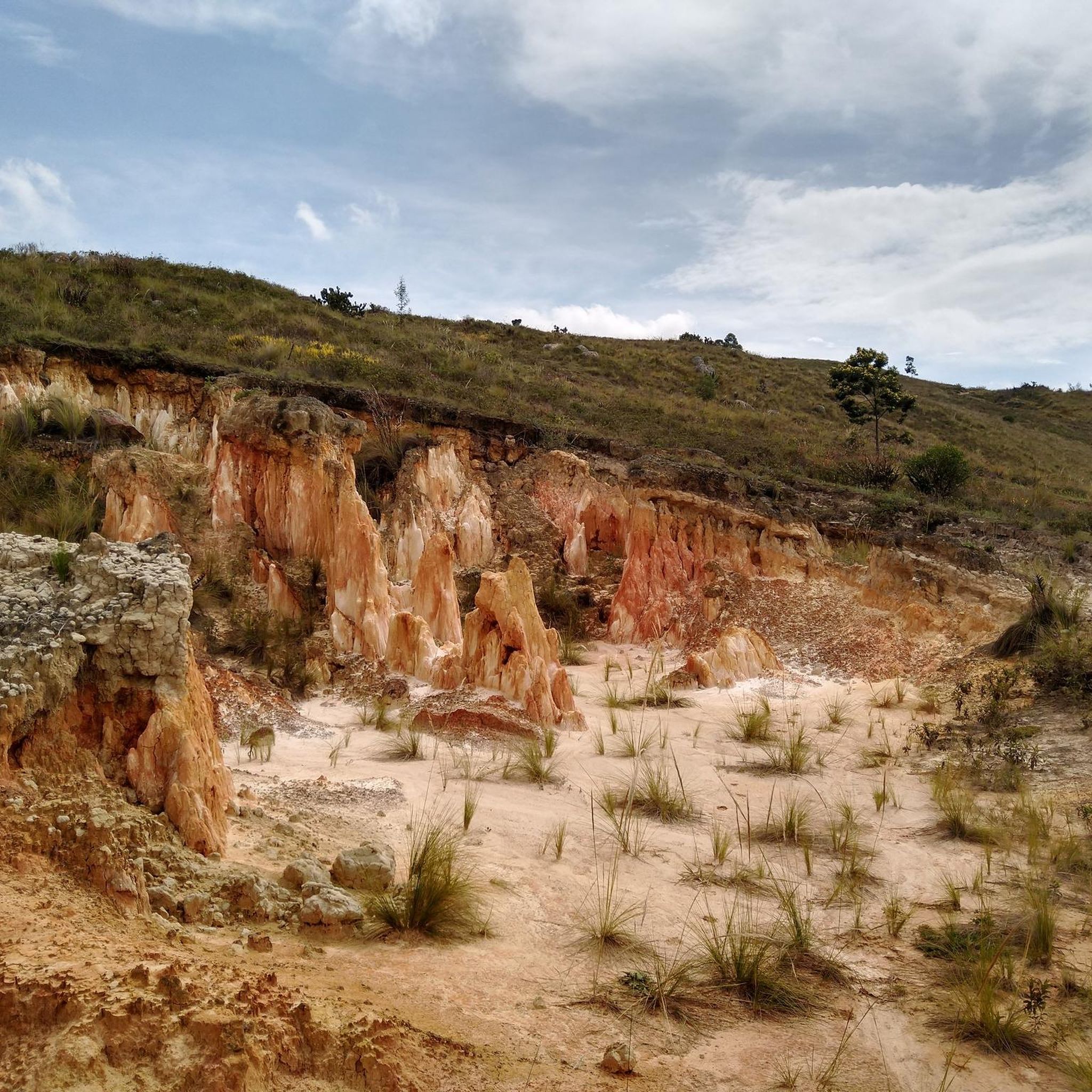
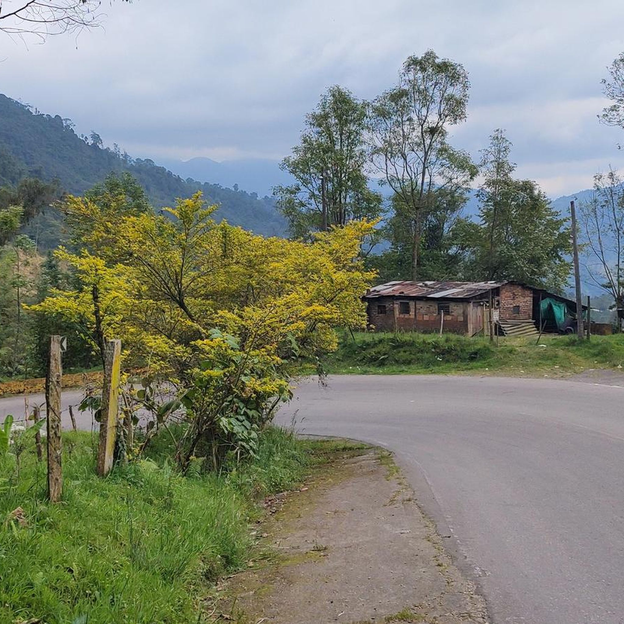
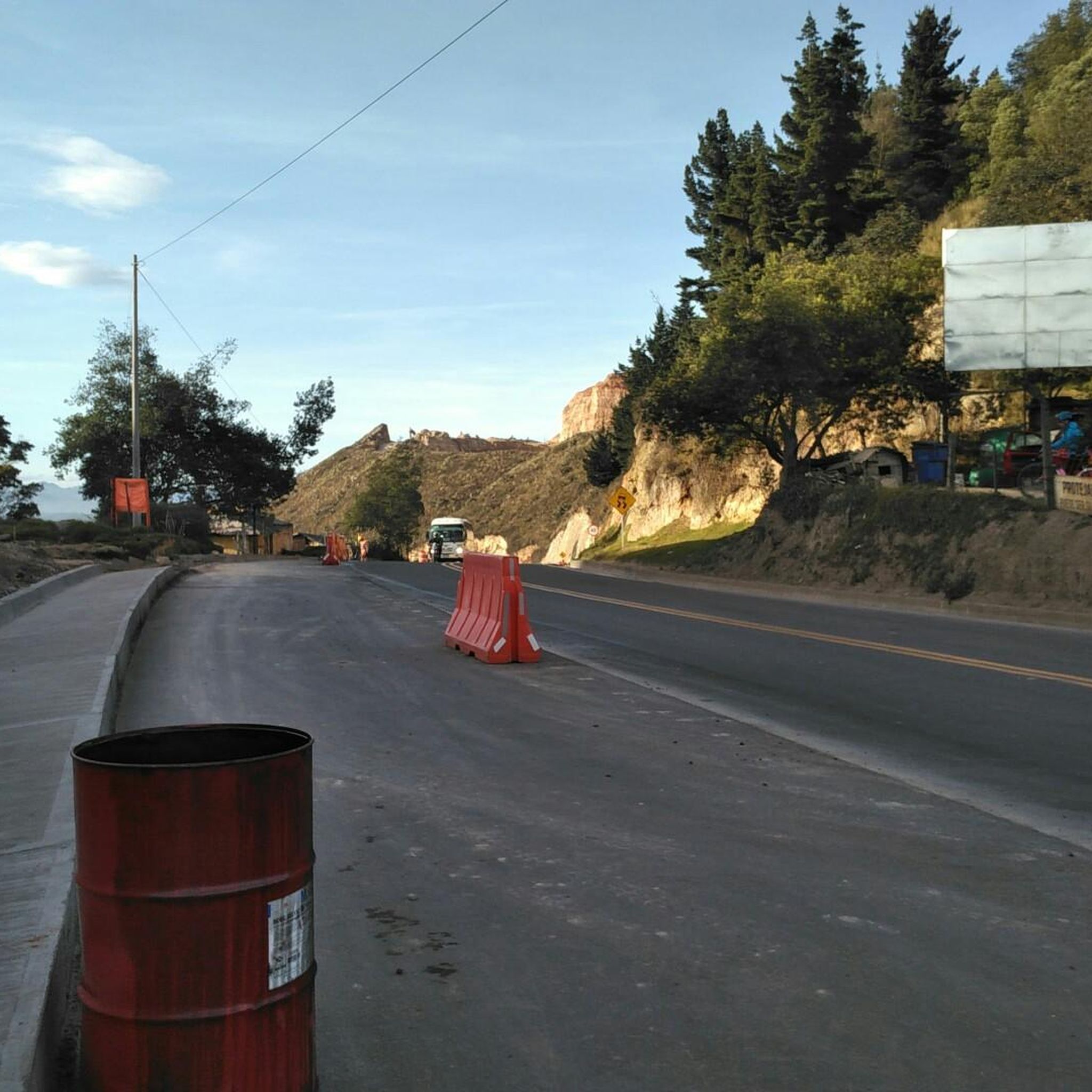

Tips from the Community

Ascent along a path between forests and rocks
0
0

shoes with good grip and good hydration
0
0
Frequently Asked Questions
How many hiking trails are available in Bojacá?
Bojacá offers a variety of hiking experiences with over 10 routes documented on komoot. These trails range across different difficulty levels, from easy strolls to more challenging ascents, catering to various preferences.
What kind of terrain and landscapes can I expect when hiking in Bojacá?
Hiking in Bojacá provides a diverse landscape experience. You'll encounter the expansive grasslands of the Bogotá savanna, which gradually transition into lush Andean forest ecosystems as you gain elevation. Trails often feature significant altitude variations, leading from high-altitude plains to warmer thermal zones, and some even traverse historical stone-paved paths.
Are there any hikes in Bojacá that feature waterfalls?
Yes, Bojacá is home to picturesque waterfalls. The Velo de Novia Waterfall loop from Bojacá urbana is a challenging 16.2 km (10.1 miles) route that leads to the El Velo waterfall, a captivating natural sight. Additionally, the impressive Tequendama Falls are a significant nearby attraction, offering amazing views.
Can I find historical or archaeological sites along the trails in Bojacá?
Absolutely. Bojacá has a rich historical and cultural context. The Piedras del Chivo Negro Archaeological Park is a notable attraction, featuring over 50 large stones with engraved Muisca art and petroglyphs. You can also explore the ancient Camino Real Bojacá – El Ocaso, a historical royal road that served as a trade route and pilgrimage path, offering a blend of natural exploration and historical discovery.
What are the difficulty levels of hiking trails in Bojacá?
Bojacá's trails cater to various fitness levels. You'll find a good mix, with approximately 5 easy routes perfect for a relaxed walk, 5 moderate trails offering a bit more challenge, and at least 1 difficult route for experienced hikers seeking a strenuous adventure. The average rating from the komoot community is 4.8 stars, indicating well-regarded paths.
Are there family-friendly hiking options in Bojacá?
Yes, there are several easy hiking options suitable for families. For instance, the Parque ecológico Chicaque loop from Parque ecológico Chicaque is an easy 3.3 km (2.0 miles) trail that can be completed in about an hour, offering a pleasant experience through the ecological park.
What do other hikers enjoy most about hiking in Bojacá?
The komoot community highly rates the hiking experiences in Bojacá, with an average score of 4.8 stars from over 20 reviews. Hikers often praise the diverse terrain, from savanna views to Andean forests, and the opportunity to explore historical paths and natural features like waterfalls. The variety of routes for different ability levels is also frequently appreciated.
Are there any trails that offer panoramic views in Bojacá?
Yes, the region's varied elevation provides excellent viewpoints. The Piedras del Chivo Negro Archaeological Park, situated at a high elevation, offers a 360-degree view of the savanna. Many trails that ascend into the Andean forests also provide scenic vistas of the surrounding landscapes.
Is public transport available to reach hiking trailheads in Bojacá?
Bojacá is located approximately 40 kilometers (25 miles) from Bogotá, and while specific public transport details for individual trailheads might vary, local buses or shared taxis are generally available from Bogotá to Bojacá. From the town, you may need to arrange local transport or walk to reach some starting points.
Are there any cafes or places to eat near the hiking trails in Bojacá?
Bojacá is a town with local amenities. While specific cafes directly at trailheads might be limited, you can find options within the town itself. The Escarabajos Shop is listed as a cafe highlight in the area, providing a place to refresh before or after your hike.
What is the best time of year to go hiking in Bojacá?
Bojacá experiences a climate that ranges from cold to temperate due to its altitude. The region is suitable for active pursuits year-round, but it's always advisable to check local weather forecasts before heading out, especially considering the potential for rain in the Andean climate. Generally, drier periods would offer more comfortable hiking conditions.
Are there any longer, more challenging hikes in the Bojacá area?
For those seeking a more challenging and longer adventure, the Velo de Novia Waterfall loop from Bojacá urbana is a difficult 16.2 km (10.1 miles) route that takes approximately 5 hours 38 minutes to complete, featuring significant elevation changes and leading to a beautiful waterfall.
Can I combine hiking with other outdoor activities in Bojacá?
Yes, Bojacá offers opportunities beyond just hiking. The Piedras del Chivo Negro Archaeological Park, for example, allows for bouldering and cycling in addition to hiking. The nearby Alto de Mondoñedo Cycling Rest Stop also indicates the region's appeal for cyclists, suggesting a broader outdoor activity scene.
Most popular routes in Bojacá
Most popular attractions in Bojacá

Get inspired with the komoot mobile app


Explore more
Browse the best Hikes in other regions.
