The best walks and hikes in Muckleford Bush Reserve
5.0
(1)
30
hikers
8
hikes
Hiking in Muckleford Bush Reserve offers trails through extensive Box-Ironbark forests, characterized by an open canopy and a ground layer of native grasses and wildflowers. The landscape is shaped by its rich goldfields history, with remnants of mining sites visible along many paths. Diverse flora and fauna, including various bird species, contribute to the natural appeal of the area. The Muckleford Fault, a significant geological feature, also influences the valley's character.
Best hiking trails in Muckleford Bush Reserve
- The most…
Last updated: August 23, 2026
2
hikers
2.76km
00:43
20m
20m
Easy hike. Great for any fitness level. Easily-accessible paths. Suitable for all skill levels.
1
hikers
8.50km
02:10
30m
30m
Moderate hike. Good fitness required. Easily-accessible paths. Suitable for all skill levels.

Sign up for free
4
hikers
17.4km
04:42
240m
240m
Moderate hike. Good fitness required. Easily-accessible paths. Suitable for all skill levels.
2
hikers
9.00km
02:22
80m
80m
Moderate hike. Good fitness required. Easily-accessible paths. Suitable for all skill levels.
1
hikers
7.65km
02:03
90m
90m
Moderate hike. Good fitness required. Easily-accessible paths. Suitable for all skill levels.
Get access to more routes and recommendations from other explorers.
Sign up for free
Already have an account?
Our route recommendations are based on thousands of hikes, rides, and runs completed by other people on komoot.
Start today with a free account
Your next adventure awaits.
Login or Signup
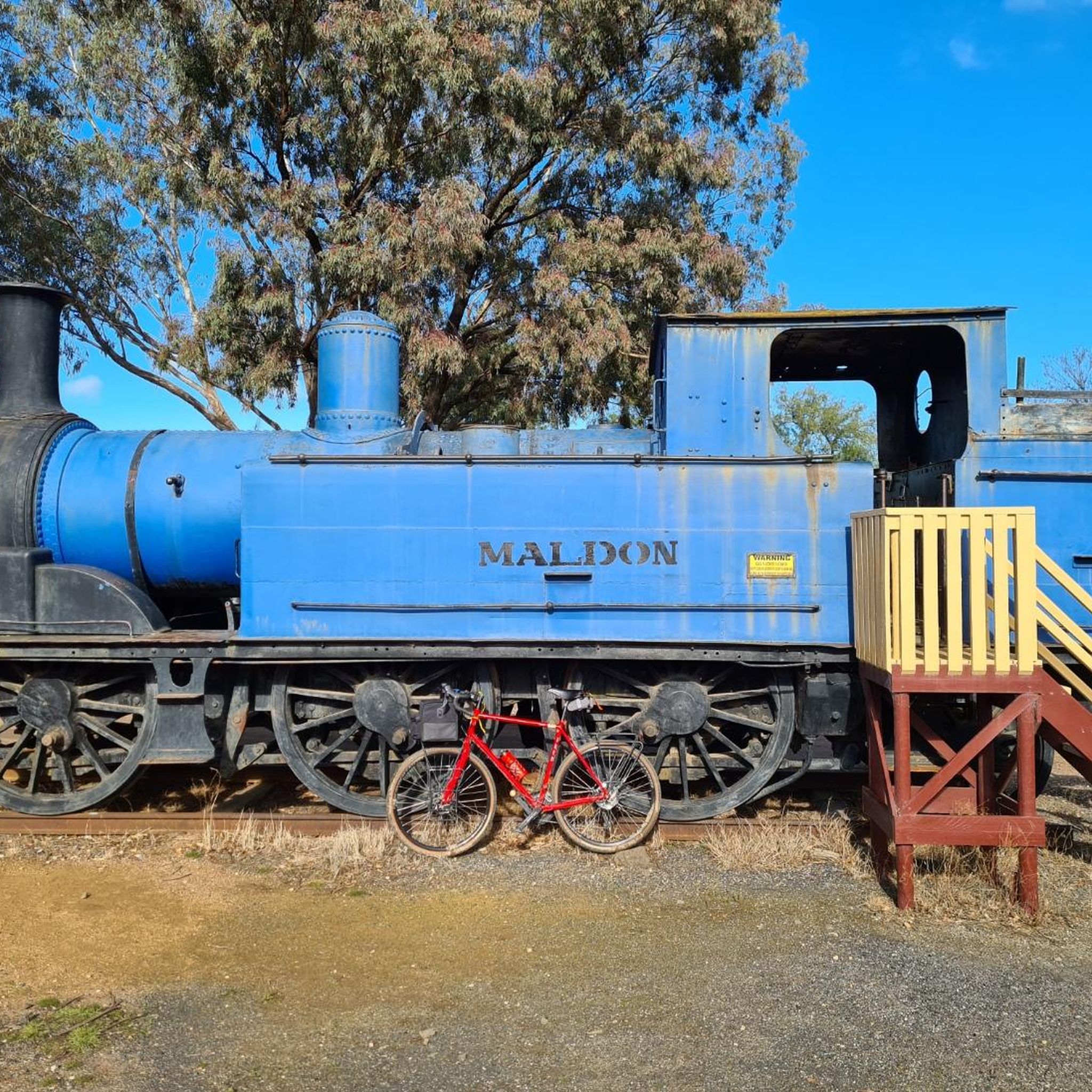
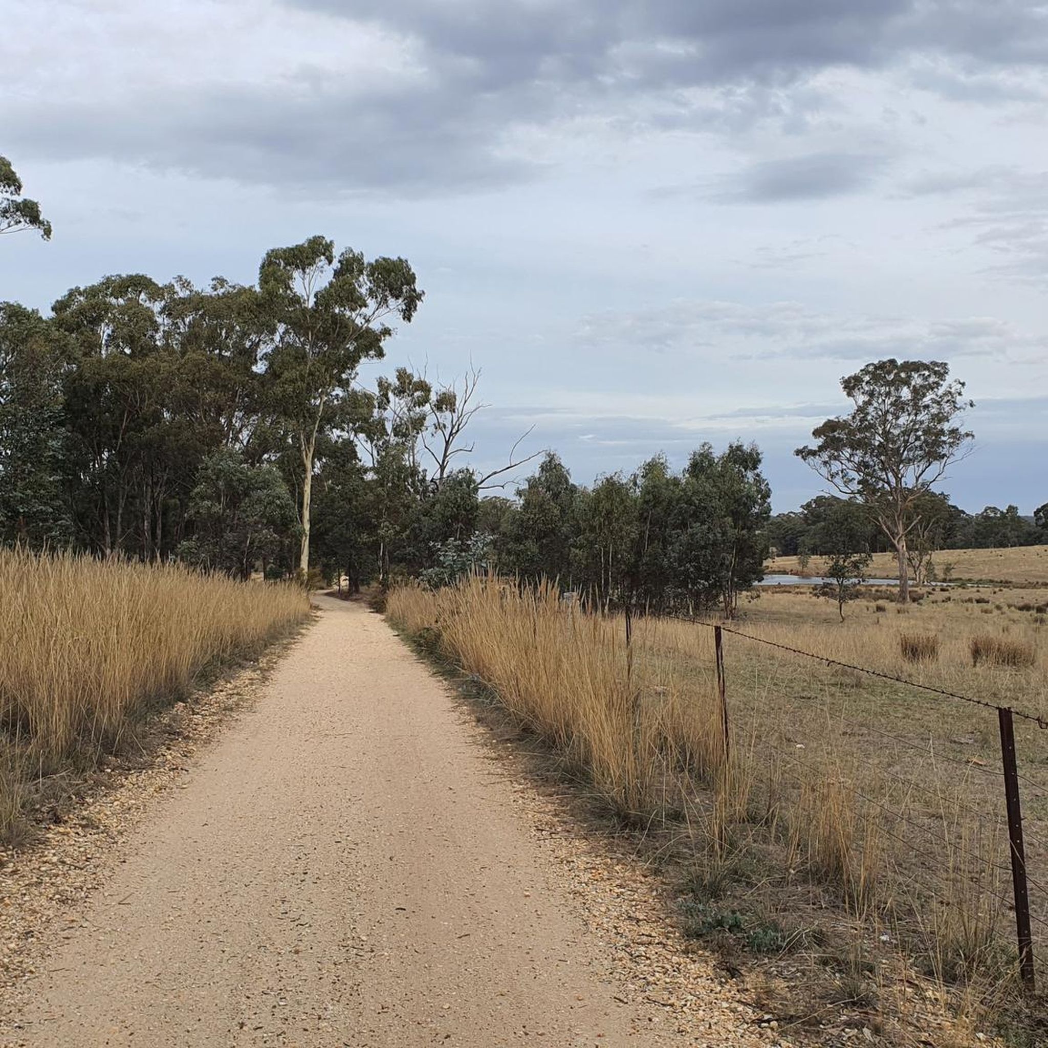
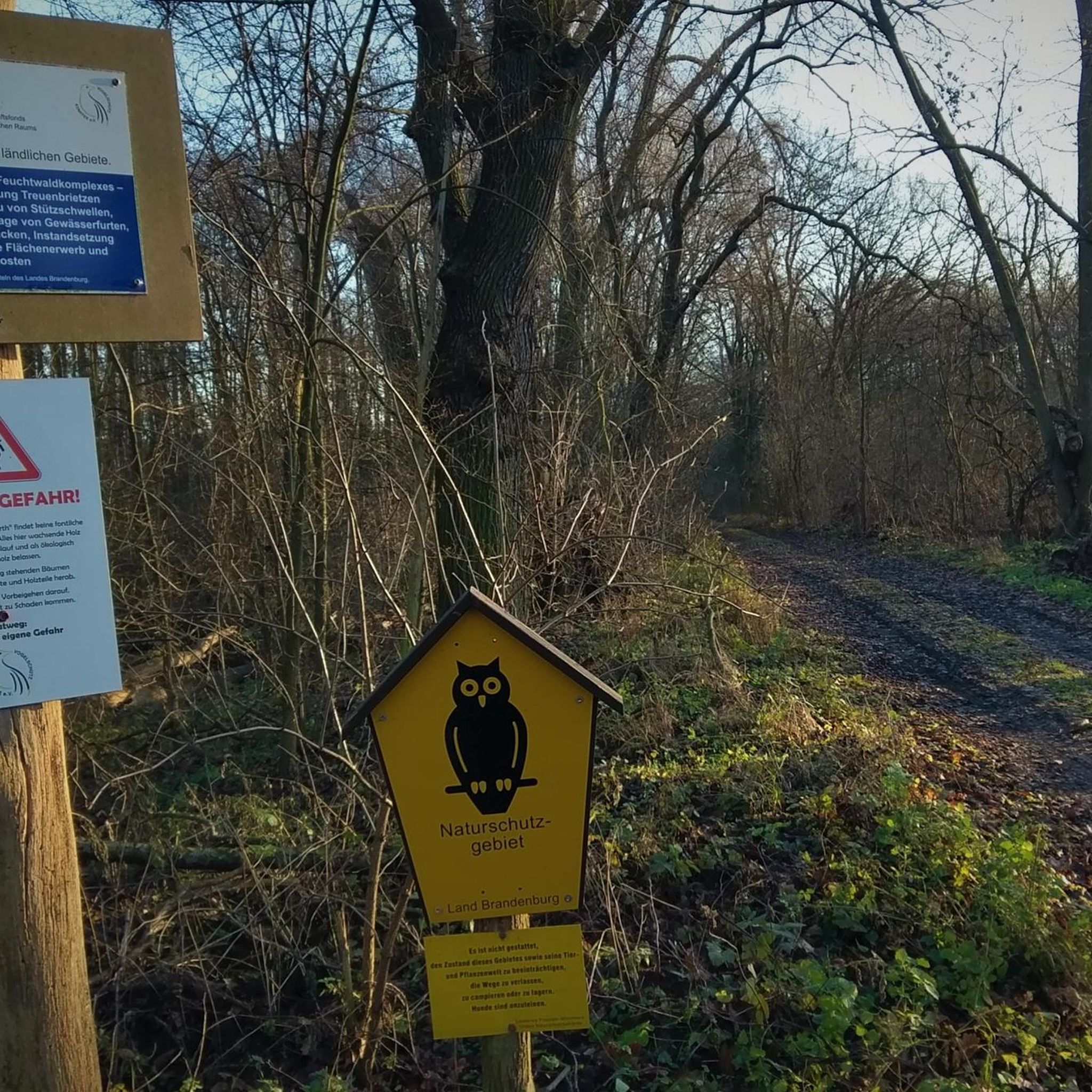
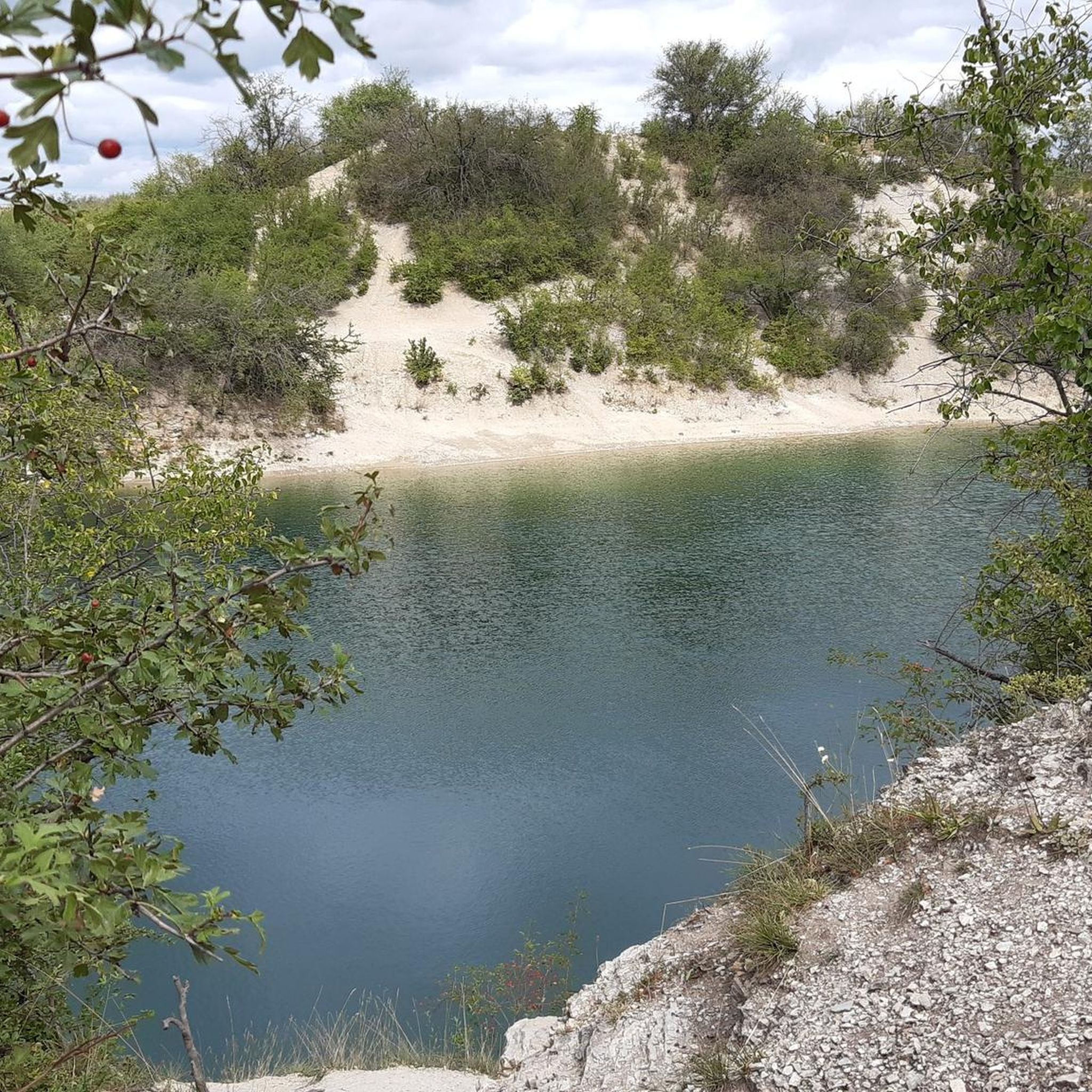
Tips from the Community

Located in Victoria's Goldfields region, Casltemaine got its start with the Victoria Goldrush in 1851. The Dja Dja Wurrung have called this area home and who are part of the Kulin alliance made up of 16 nearby clans. Today Castlemaine is a popular destination due to its historic architecture, bustling arts scene, and abundance of outdoor activities. The town is also known for having a great food and wine scene with a wide variety ranging from pub fare to modern cafes, breweries, wineries, and cideries.
0
0
This wide, gravely shared-use path heads south from Castlemaine alongside its namesake creek. It's popular with gravel bikers, joggers, and hikers who enjoy getting out in nature for exercise or to commute to the southern reaches of town.
0
0
Castlemaine Station provides regular commuter service on the V/Line as well as the historic Victorian Goldfields Railway. This makes it a great option for history buffs and cyclists and hikers who want to do a long one-way journey and take the train the other way.
1
0


Eureka Reef boasts some of the earliest quartz mining relics in Victoria including a massive exposed quartz reef, foundations of Cornish crushing batteries and a mining village. Aboriginal rock wells are also present. A pleasant 1.8km walk takes you through 140 years of mining history. See the forest through the eyes of the Jaara people, alluvial gold diggers and quartz reef miners. In winter and spring there are many native wildflowers in the Eureka Reef forest. Source: http://parkweb.vic.gov.au/explore/parks/castlemaine-diggings-national-heritage-park/things-to-do/eureka-reef
0
0
Frequently Asked Questions
What kind of landscape can I expect to see while hiking in Muckleford Bush Reserve?
Muckleford Bush Reserve is primarily characterized by extensive Box-Ironbark forests. These woodlands feature an open canopy, a ground layer of native grasses and wildflowers, and are shaped by the significant Muckleford Fault. You'll experience a distinct Australian bushwalking environment.
Are there any historical sites or landmarks to explore along the trails?
Yes, the reserve is rich in gold mining history. You can explore remnants of its past, including old mining shafts, loading ramps, water dams, and tailings dumps. Notable sites include the Red, White and Blue Mine and Dunn's Reef, with interpretive boards providing insights into the area's history.
How many hiking trails are available in Muckleford Bush Reserve?
There are 7 hiking routes available in Muckleford Bush Reserve, offering a mix of easy and moderate options to suit various fitness levels.
Are there any easy walks suitable for beginners or those looking for a shorter stroll?
Absolutely. For an easy walk, consider the Lake Joanna loop from Castlemaine, which is about 2.8 km and takes around 45 minutes. Another easy option is the Puddling Works – Ruined Miners Cottages loop from Shire of Mount Alexander, covering 5.2 km.
What is the best time of year to hike in Muckleford Bush Reserve?
While specific seasonal conditions are not detailed, the Box-Ironbark forests are known for native grasses and wildflowers, suggesting spring (September-November) would be ideal for seeing the flora in bloom. Autumn (March-May) also offers pleasant temperatures for hiking.
Can I expect to see any wildlife during my hike?
Yes, the reserve supports diverse flora and fauna. Hikers often encounter various bird species, such as the Olive-backed Oriole, Striated and Spotted Pardlote, and Scarlet and Flame Robin. The area is also home to indigenous plant and animal species, including endangered small and large ant-blue butterflies.
Are there any longer, more challenging routes for experienced hikers?
For a more extensive hike, the Poverty Gully Reservoir – Cornish Chimney loop from Castlemaine is a moderate 17.4 km path that explores historical gold mining areas and natural bushland, typically taking around 4 hours 40 minutes.
What do other hikers enjoy most about Muckleford Bush Reserve?
Hikers on komoot appreciate the varied terrain, which includes both Box-Ironbark forests and historic gold mining sites. The network offers options for different ability levels, making it accessible for many to explore its natural and cultural history.
Are there any circular routes available in the reserve?
Yes, several routes are circular. Examples include the Lake Joanna loop from Castlemaine, the Poverty Gully Reservoir – Cornish Chimney loop from Castlemaine, and the Maldon Historic Reserve loop from Peg Leg Gully.
What is the typical terrain like on the trails?
The terrain primarily consists of bush tracks through Box-Ironbark forests. While many paths are easily accessible, some routes may involve moderate elevation changes, especially on longer trails, offering a mix of flat sections and gentle inclines.
Is there a specific trail that highlights the goldfields history well?
The Maldon Historic Reserve loop from Peg Leg Gully is a great choice, leading through historic goldfields and Box-Ironbark forest. Another option is the Cornish Chimney loop from The Monk, which also explores historical mining areas.
Are the trails well-marked in Muckleford Bush Reserve?
While specific details on trail marking are not provided, the presence of interpretive information boards at historical sites suggests efforts to guide visitors. Using a navigation app like komoot can help ensure you stay on track.
Most popular routes in Muckleford Bush Reserve

Get inspired with the komoot mobile app


Explore more
Browse the best Hikes in other regions.
