The best road cycling routes in Muckleford Bush Reserve
177
riders
17
rides
Road cycling in Muckleford Bush Reserve offers routes through a landscape characterized by dense bushland and rolling hills in Victoria. The area features a network of roads that traverse natural reserves and past local landmarks. Road cyclists can expect varied terrain with moderate elevation changes, providing a consistent challenge. The region's physical features include bushland reserves and creek frontages, making for diverse cycling environments.
Best road cycling routes in Muckleford Bush Reserve
- The most popular road cycling route is Chapel…
Last updated: July 2, 2026
9
riders
39.4km
01:52
390m
390m
Moderate road ride. Good fitness required. Some segments of this route may be unpaved and difficult to ride.
7
riders
Moderate road ride. Good fitness required. Some segments of this route may be unpaved and difficult to ride.

Sign up for free
15
riders
25.4km
01:12
280m
280m
Moderate road ride. Great for any fitness level. Some segments of this route may be unpaved and difficult to ride.
15
riders
31.6km
01:28
340m
340m
Moderate road ride. Good fitness required. Some segments of this route may be unpaved and difficult to ride.
13
riders
40.9km
02:03
580m
580m
Moderate road ride. Good fitness required. Some segments of this route may be unpaved and difficult to ride.
Get access to more routes and recommendations from other explorers.
Sign up for free
Already have an account?
Our route recommendations are based on thousands of hikes, rides, and runs completed by other people on komoot.
Start today with a free account
Your next adventure awaits.
Login or Signup
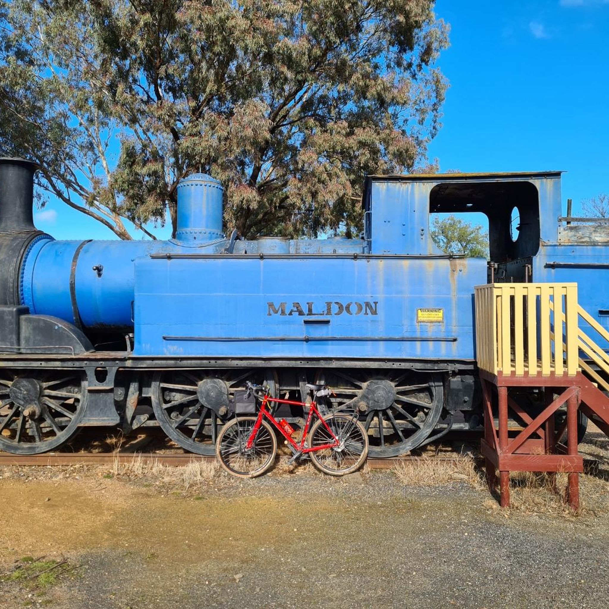
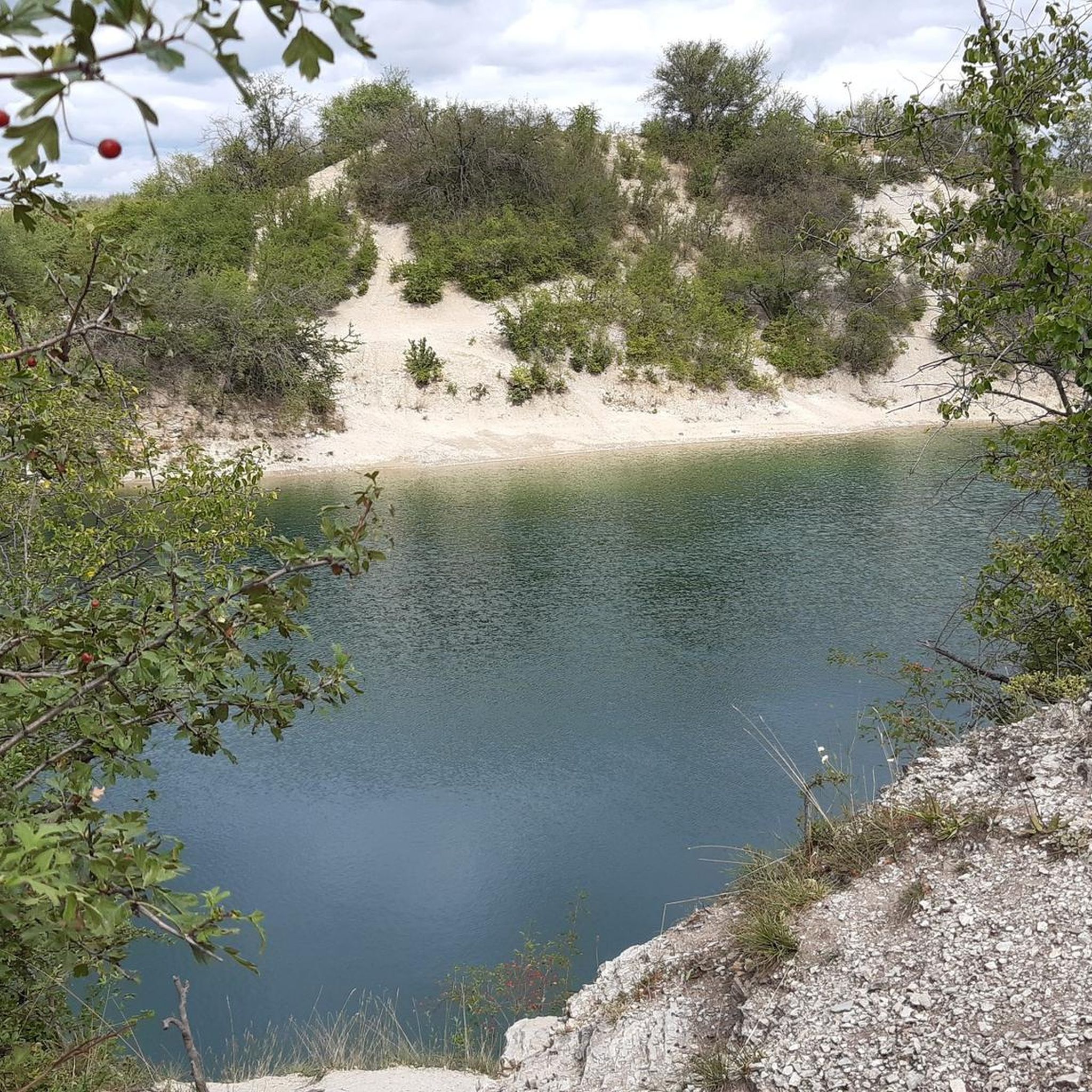
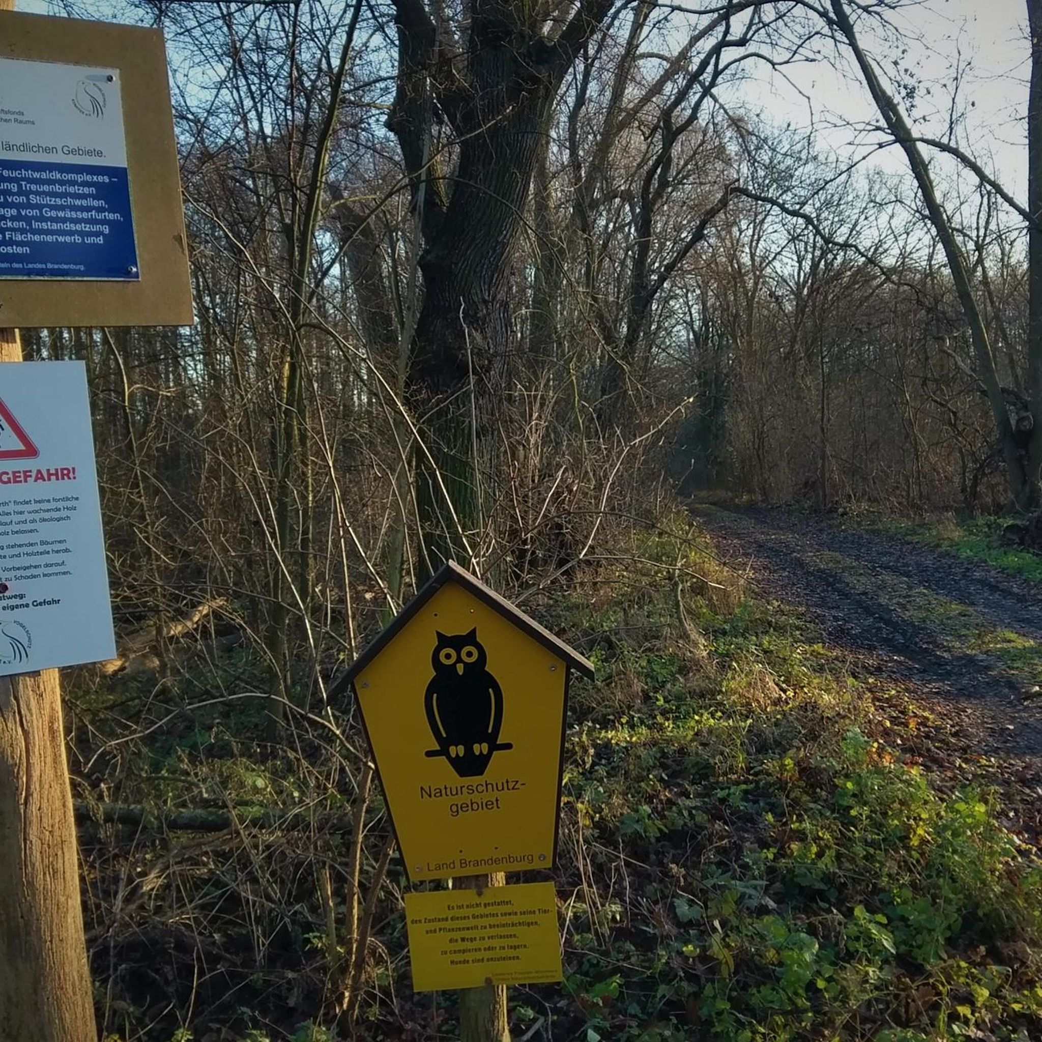
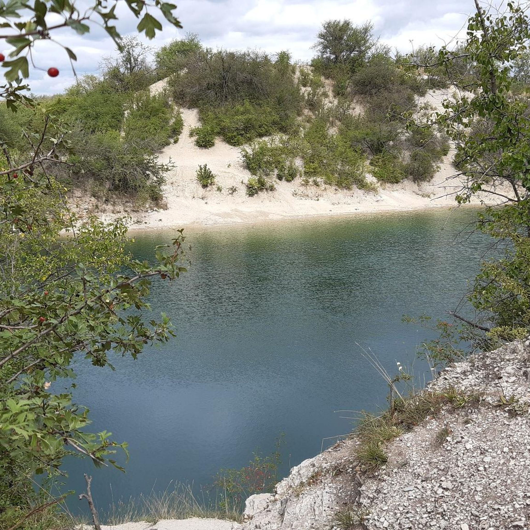
Tips from the Community

Located in Victoria's Goldfields region, Casltemaine got its start with the Victoria Goldrush in 1851. The Dja Dja Wurrung have called this area home and who are part of the Kulin alliance made up of 16 nearby clans. Today Castlemaine is a popular destination due to its historic architecture, bustling arts scene, and abundance of outdoor activities. The town is also known for having a great food and wine scene with a wide variety ranging from pub fare to modern cafes, breweries, wineries, and cideries.
0
0
This wide, gravely shared-use path heads south from Castlemaine alongside its namesake creek. It's popular with gravel bikers, joggers, and hikers who enjoy getting out in nature for exercise or to commute to the southern reaches of town.
0
0
Castlemaine Station provides regular commuter service on the V/Line as well as the historic Victorian Goldfields Railway. This makes it a great option for history buffs and cyclists and hikers who want to do a long one-way journey and take the train the other way.
1
0

Frequently Asked Questions
What are the typical difficulty levels for road cycling routes in Muckleford Bush Reserve?
Road cycling in Muckleford Bush Reserve primarily offers routes of easy to moderate difficulty. There are 2 easy routes and 17 moderate routes available, making it accessible for a range of cyclists.
What is the typical length of road cycling routes in Muckleford Bush Reserve?
Routes in the Muckleford Bush Reserve vary in length. For example, the Breakneck Hill – Fryers Creek Water Frontage loop from Castlemaine is about 15.8 miles (25.4 km), while the Wesley Hill – Nathans Hill loop from Castlemaine extends to approximately 36 miles (58 km).
Are there any beginner-friendly road cycling routes in Muckleford Bush Reserve?
Yes, Muckleford Bush Reserve offers routes suitable for beginners. While most routes are moderate, there are 2 easy routes available for those looking for a less challenging ride.
Are there any advanced road cycling trails in Muckleford Bush Reserve?
The road cycling routes in Muckleford Bush Reserve are generally categorized as easy to moderate. There are no routes specifically designated as difficult, making the area more suited for intermediate cyclists or those looking for a consistent challenge without extreme climbs.
What is the best time of year to go road cycling in Muckleford Bush Reserve?
The best time for road cycling in Muckleford Bush Reserve is typically during the cooler, drier months of spring (September to November) and autumn (March to May). These seasons offer pleasant temperatures and less chance of extreme heat or heavy rainfall, which can impact bushland conditions.
Are there any family-friendly road bike trails in Muckleford Bush Reserve?
While specific 'family-friendly' designations aren't provided, the presence of easy and moderate routes suggests options for families. Routes with lower elevation gain and shorter distances would be most suitable. Always check the route details for specific conditions before heading out with children.
Are there loop routes available for road cycling in Muckleford Bush Reserve?
Yes, many of the road cycling routes in Muckleford Bush Reserve are designed as loops. Examples include the popular Chapel Hill – Wesley Hill loop from Muckleford and the Breakneck Hill – Strathloddon Bushland Reserve loop from Castlemaine H80 Bushland Reserve.
What kind of terrain can I expect when road cycling in Muckleford Bush Reserve?
Road cycling in Muckleford Bush Reserve features varied terrain characterized by dense bushland and rolling hills. You can expect moderate elevation changes, providing a consistent challenge, with some routes also traversing creek frontages.
What do other road cyclists enjoy most about road cycling in Muckleford Bush Reserve?
Over 190 road cyclists have used komoot to explore Muckleford Bush Reserve. Users often praise the diverse cycling environments, which include bushland reserves and creek frontages, and the consistent challenge offered by the rolling hills.
How many road cycling routes are available in Muckleford Bush Reserve?
There are 19 road cycling routes available in Muckleford Bush Reserve, offering a variety of options for different skill levels and preferences.
Are there any scenic viewpoints along the road cycling routes in Muckleford Bush Reserve?
The routes in Muckleford Bush Reserve offer scenic views primarily of the natural bushland and rolling hills. While specific named viewpoints are not detailed, the landscape itself provides picturesque settings, especially along routes that pass through reserves or along creek frontages like the Red Hill – Fryers Creek Water Frontage loop from Castlemaine.
Most popular routes in Muckleford Bush Reserve

Get inspired with the komoot mobile app


Explore more
Browse the best Road cycling routes in other regions.
