The best mountain hikes around St. Georgen im Schwarzwald
4.0
(2)
9
hikers
5
hikes
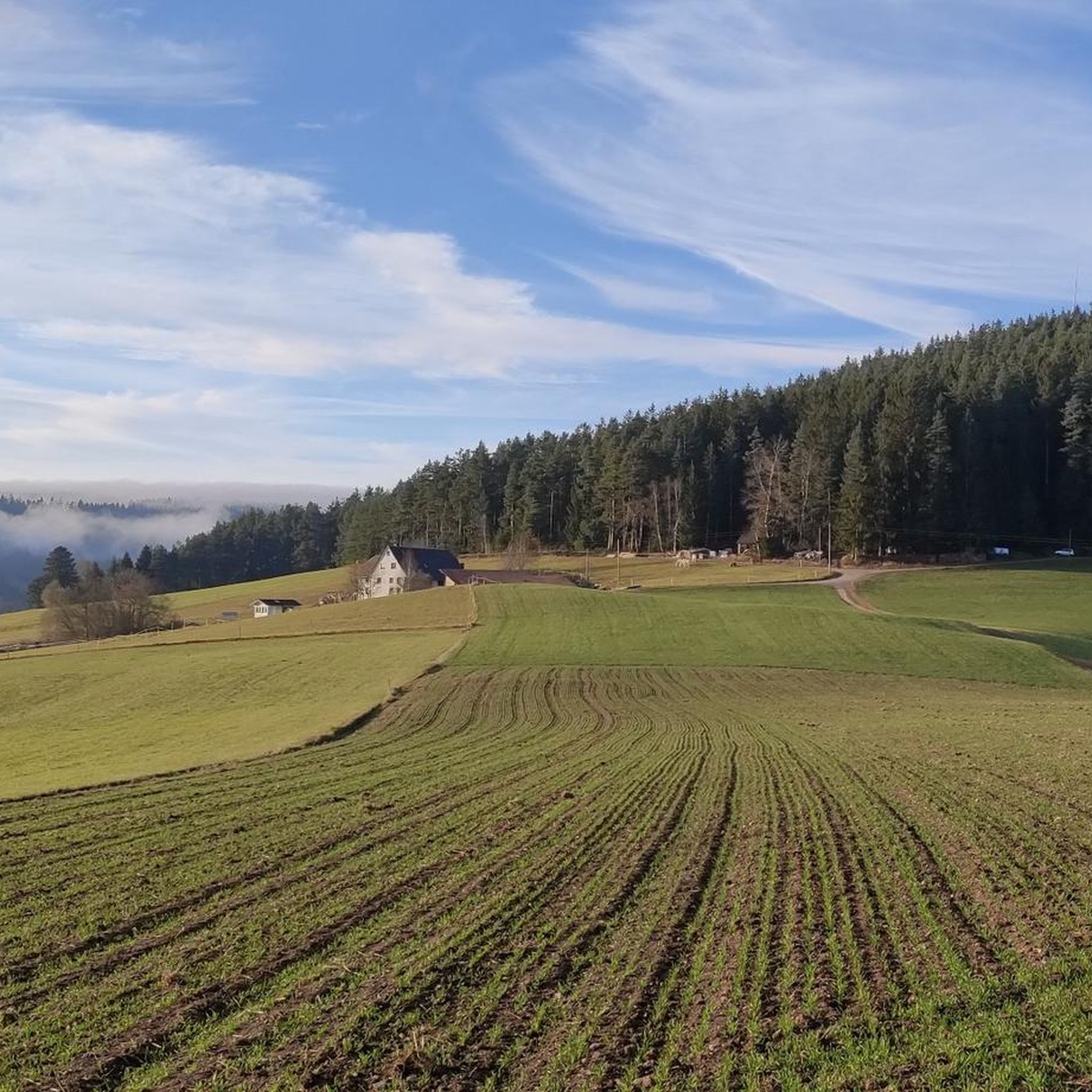
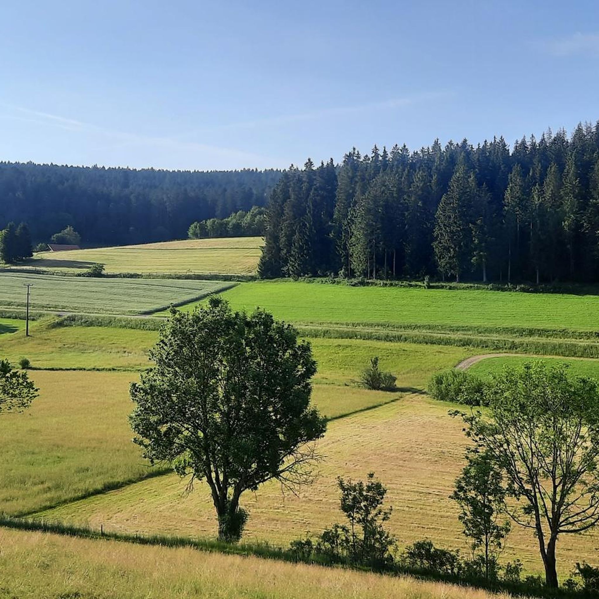
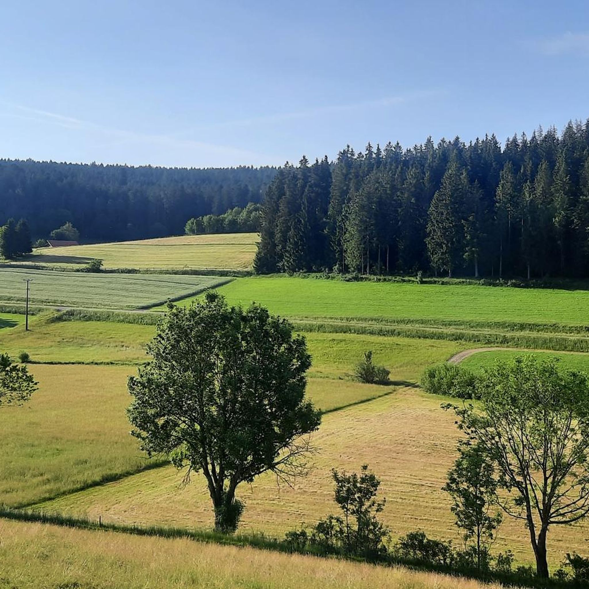
Mountaineering routes St. Georgen im Schwarzwald traverse a landscape defined by its elevated position in the Central Black Forest, ranging between 800 and 1000 meters above sea level. This region features dense forests, rolling hills, and is situated on the European Watershed, where the Brigach river originates. The terrain offers varied ascents and descents through wooded areas and open fields, providing expansive views of the surrounding Black Forest.
Best mountaineering routes around St. Georgen im Schwarzwald
- The most popular mountaineering…
Last updated: July 7, 2026
2
hikers
Moderate mountaineering route. Good fitness required. Easily-accessible paths. Suitable for all skill levels.
2
hikers
7.79km
02:09
130m
130m
Moderate mountaineering route. Good fitness required. Easily-accessible paths. Suitable for all skill levels.

Sign up for free
3.0
(1)
2
hikers
6.42km
01:47
120m
120m
Easy mountaineering route. Great for any fitness level. Easily-accessible paths. Suitable for all skill levels.
5.0
(1)
2
hikers
14.4km
04:42
630m
630m
Moderate mountaineering route. Good fitness required. Mostly accessible paths. Sure-footedness required.
1
hikers
Moderate mountaineering route. Good fitness required. Easily-accessible paths. Suitable for all skill levels.
Our route recommendations are based on thousands of hikes, rides, and runs completed by other people on komoot.
Start today with a free account
Your next adventure awaits.
Login or Signup
Popular around St. Georgen im Schwarzwald
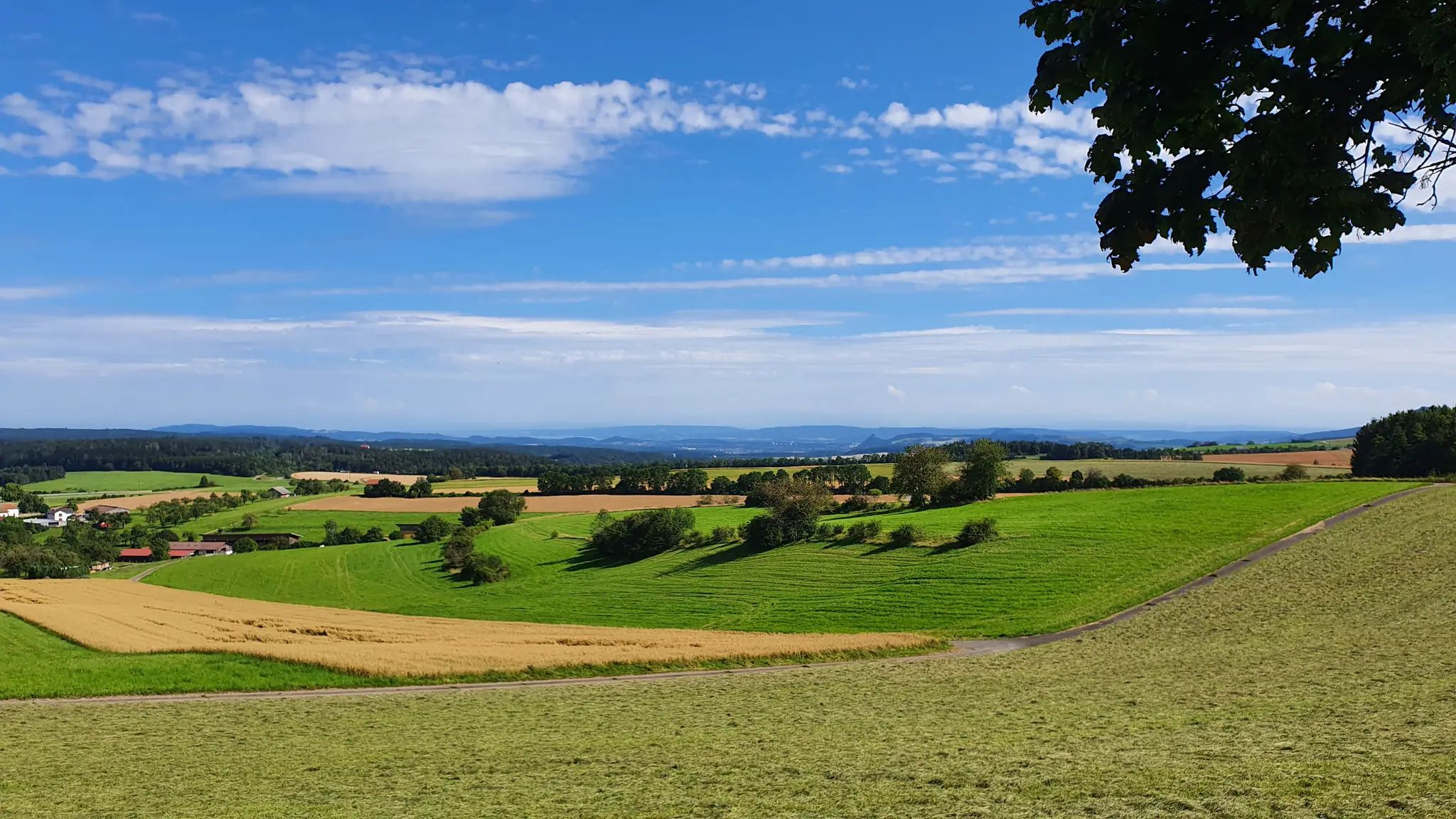
The Schwarzwald-Jura-Bodensee Weg
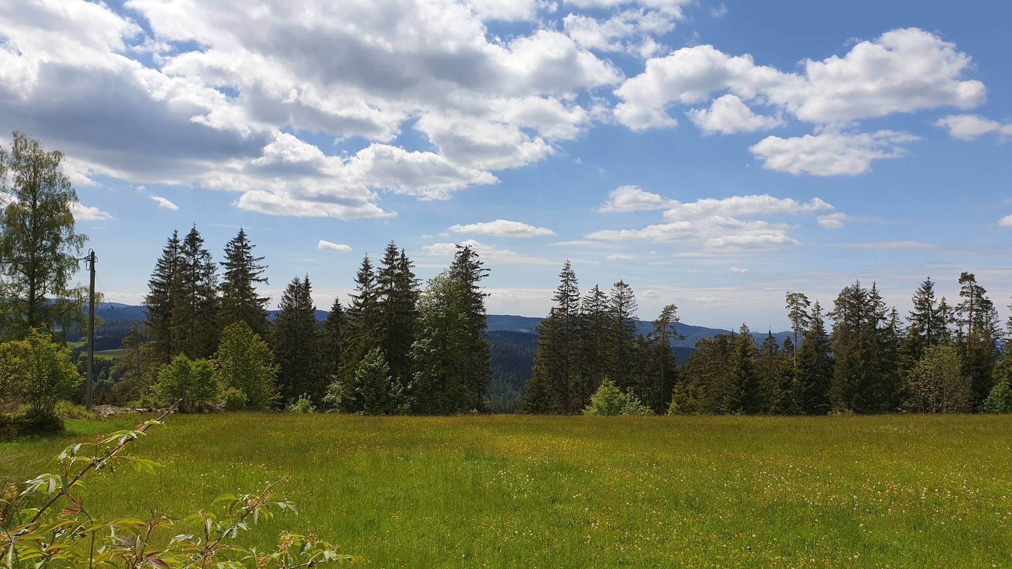
The Mittelweg of the Black Forest Association
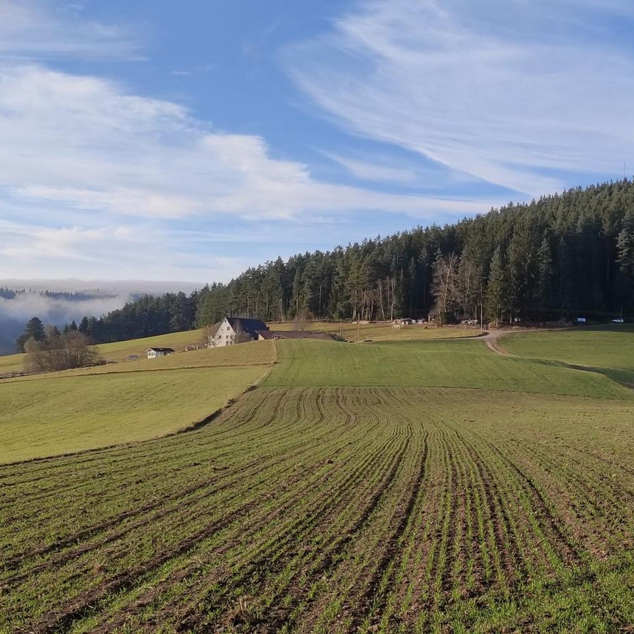
Hiking around St. Georgen im Schwarzwald
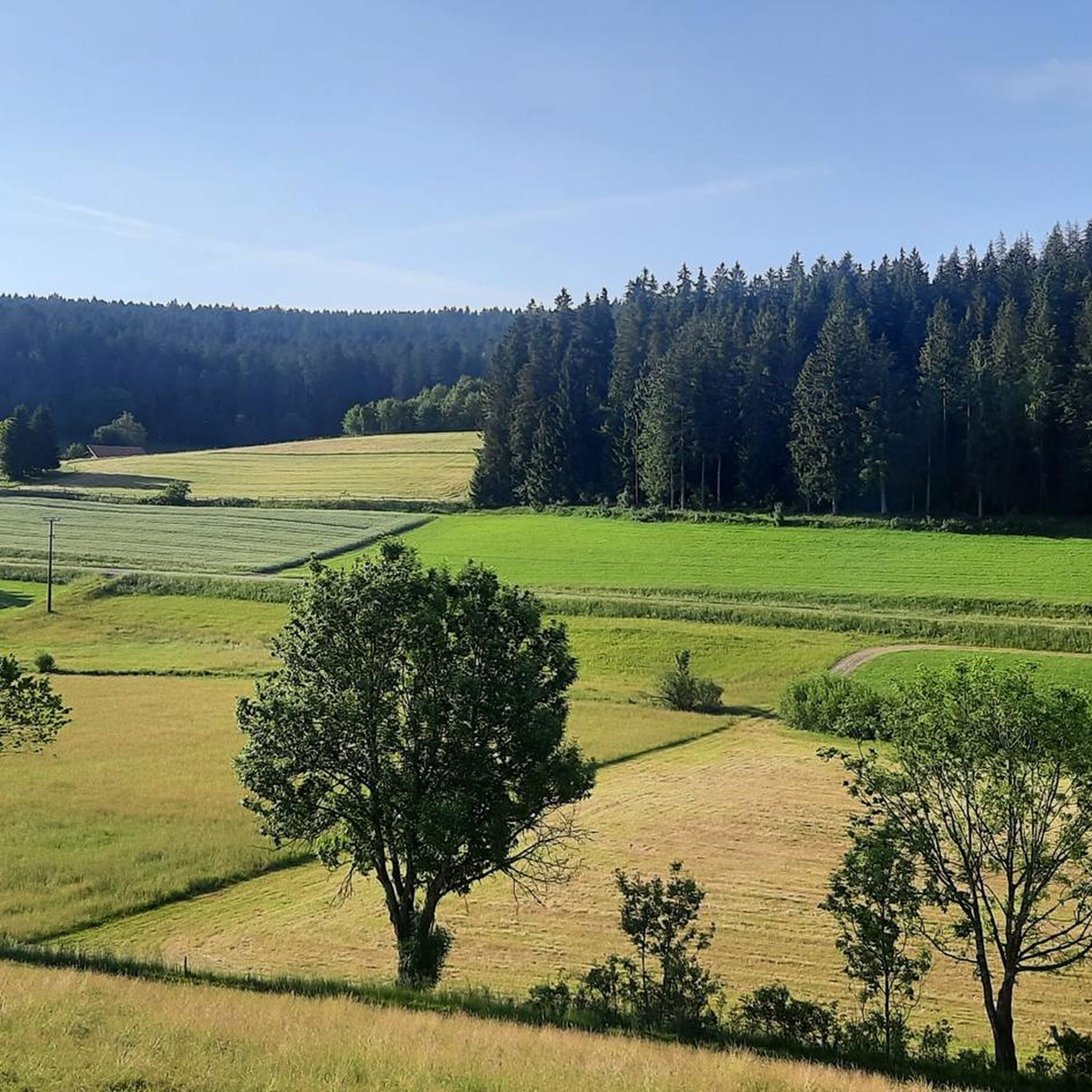
MTB Trails around St. Georgen im Schwarzwald
Cycling around St. Georgen im Schwarzwald
Road Cycling Routes around St. Georgen im Schwarzwald
Running Trails around St. Georgen im Schwarzwald
Gravel biking around St. Georgen im Schwarzwald
Other adventures around St. Georgen im Schwarzwald

Tips from the Community

Access to platform 2 and 3 is at ground level via the yellow marked crossing. Approx. 10 minutes before a train arrives or passes, the crossing is closed with a barrier. So you have to be on the platform in good time beforehand.
0
0
Tracks 2 (RS to Hausach) and 3 (RE2 to Karlsruhe) can be reached at ground level via a yellow-marked path that goes over the tracks. Approximately 5-10 minutes before the train arrives, this passage is closed by a barrier. Then there is no longer a connection. So you have to be at the platform in good time.
0
0

Small shelter here, solid wooden floor.
0
0

Planetenweg Interesting facts about the Planetenweg The Planetenweg aims to bring the hiker and nature lover, young or old, a little closer to some characteristics, astronomical and physical conditions, and especially the colossal size ratios of our solar system and thus also of the universe. The distance of the planets on the hiking trail also corresponds to the real distance from the sun on a scale of 1:1 billion. The model of the sun, a hollow sphere made of 4mm thick sheet steel, weighs approx. 140 kg and therefore has a diameter of 1.3 meters on this scale. At the planet locations, there are display boards with the relevant data of the respective planet (diameter, orbital period around and distance from the sun, etc.) and a brief explanation of the history/origin of the name. Unfortunately, during the planning and construction phase of the Planetenweg, the planet Pluto was "demoted" to a dwarf planet, but it still forms the endpoint of our hike through the solar system. .... Source: https://schwarzwaldverein-lauterbach.de/wege/unsere-wanderwege-in-lauterbach/planetenweg/
0
0

A cozy place that invites you to linger on the bench.
0
0

Great rest area in front of the boardwalk
0
0

Nice place to rest at a crossroads, but the view is slowly becoming obscured.
0
0

information board at the Blindensee, various hiking trails accessible.
1
0
Frequently Asked Questions
How many mountaineering routes are available in St. Georgen im Schwarzwald?
This guide features 7 dedicated mountaineering routes around St. Georgen im Schwarzwald. These routes offer diverse experiences through the region's forests and hills, with options for various skill levels.
Are there any easy or beginner-friendly mountaineering routes?
Yes, for those seeking an easier experience, the Ramstein Chapel loop from Tennenbronn is classified as easy. This route covers approximately 6.4 km and is a great option for beginners or a more relaxed outing.
What kind of natural attractions can I expect to see along the mountaineering routes?
The region is rich in natural beauty. You can explore unique features like the Blindensee, a legendary lake in a moorland setting, or walk along the Boardwalk through the Blindensee Moor. The routes often traverse dense Black Forest woodlands and offer expansive views of the surrounding landscape.
Are there any circular mountaineering routes in the area?
Many of the mountaineering routes in St. Georgen im Schwarzwald are designed as loops, allowing you to start and end at the same point. Examples include the Uhufelsen loop from Tannenhöhe and the Kapfhäusle Thatched House – Boardwalk at the Rotwasserbach loop from Fohrenbühl, both offering varied terrain and scenic views.
What are some notable viewpoints accessible via mountaineering routes?
The region's elevated position provides excellent viewpoints. While specific routes in this guide might not directly lead to the highest peaks, the general area boasts spots like the Brend Tower, which on clear days offers views extending to the Swiss Alps, and the Huberfelsen Viewpoint with expansive views of the upper Elztal and the Black Forest.
Can I bring my dog on the mountaineering routes?
Most mountaineering routes in the Black Forest, including those around St. Georgen im Schwarzwald, are generally dog-friendly. It's always advisable to keep your dog on a leash, especially in forested areas or near wildlife, and to carry water for them. Always check local regulations or specific route descriptions for any restrictions.
What is the best time of year for mountaineering in St. Georgen im Schwarzwald?
The spring, summer, and autumn months (roughly April to October) are ideal for mountaineering in St. Georgen im Schwarzwald. During these seasons, the trails are typically clear, and the weather is pleasant for outdoor activities. The region's high altitude often means sunshine even when lower valleys are foggy.
Are there any waterfalls near the mountaineering routes?
Yes, a short distance from St. Georgen im Schwarzwald are the famous Triberg Waterfalls, Germany's highest waterfall. While not directly on the listed mountaineering routes, they are a significant nearby attraction worth visiting.
Are there any less crowded mountaineering routes for a quieter experience?
For a potentially quieter experience, consider routes that might be slightly off the main tourist paths. The Schönwälder Urhüttle – Blindensee loop from Schönwald im Schwarzwald, while still popular, offers a serene journey through varied forest passages and past the unique Blindensee moor.
What makes St. Georgen im Schwarzwald unique for mountaineering?
St. Georgen im Schwarzwald stands out due to its elevated position (800-1000 meters above sea level) in the Central Black Forest, offering distinct high-altitude landscapes. It lies on the European Watershed, where the Brigach river originates, and features a combination of dense forests, rolling hills, and expansive views, providing a diverse and rewarding mountaineering experience.
Are there options for winter mountaineering or other winter activities?
From December to March, St. Georgen im Schwarzwald transforms into a winter sports area. While dedicated mountaineering might be challenging due to snow, the region offers ski lifts and cross-country ski trails, such as the St. Georgen - Peterzell trail, for winter enthusiasts.
Are there any historical landmarks or castles to explore near the routes?
Yes, the area around St. Georgen im Schwarzwald has several historical sites. You can find the Ruins of Hohenschramberg Castle, offering a glimpse into the region's past. While not directly on the listed mountaineering routes, they are accessible nearby attractions.
Most popular routes around St. Georgen im Schwarzwald
Most popular attractions around St. Georgen im Schwarzwald

Get inspired with the komoot mobile app


Explore more
Browse the best Mountain Hikes & Routes in other regions.
