The best mountain hikes around Ried in der Riedmark
5.0
(2)
11
hikers
4
hikes
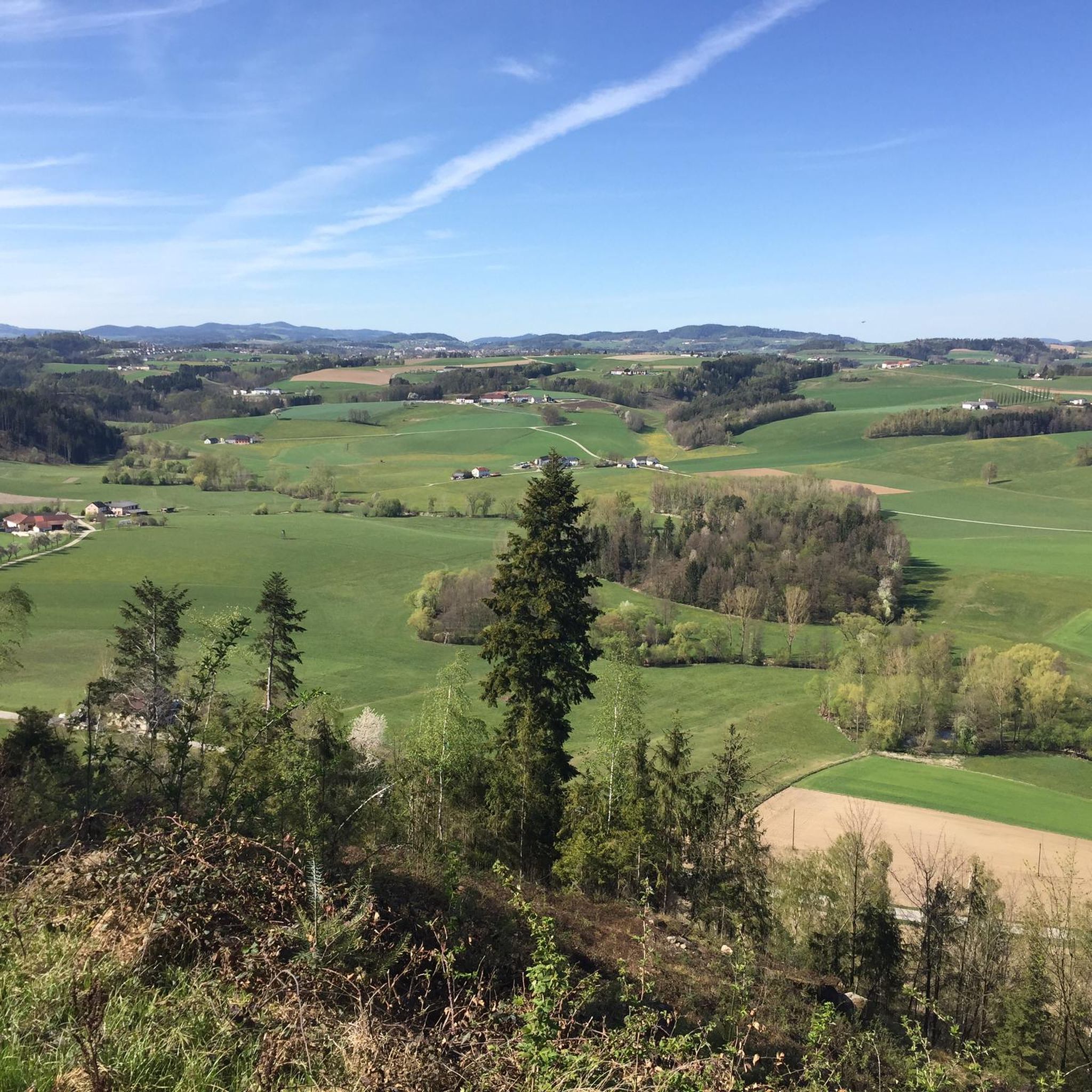
Mountaineering routes around Ried in der Riedmark traverse a landscape characterized by gentle hills, forests, and agricultural land, with elevations typically ranging from 300 to 450 meters. The region features waterways like the Rieder Bach and the Naarn, which meander through meadows, adding to the scenic beauty. While not alpine, the terrain offers opportunities for "mountain hikes" with notable elevations such as the Weltstein at 478 meters and the Pfenningberg, providing scenic vistas. This area is well-suited for exploring natural…
Last updated: October 9, 2026
4
hikers
8.93km
02:51
360m
360m
Moderate mountaineering route. Good fitness required. Easily-accessible paths. Suitable for all skill levels.
5.0
(1)
2
hikers
8.87km
02:42
300m
300m
Moderate mountaineering route. Good fitness required. Easily-accessible paths. Suitable for all skill levels.

5.0
(1)
2
hikers
12.1km
03:31
300m
300m
Moderate mountaineering route. Good fitness required. Easily-accessible paths. Suitable for all skill levels.
Our route recommendations are based on thousands of hikes, rides, and runs completed by other people on komoot.
Start today with a free account
Your next adventure awaits.
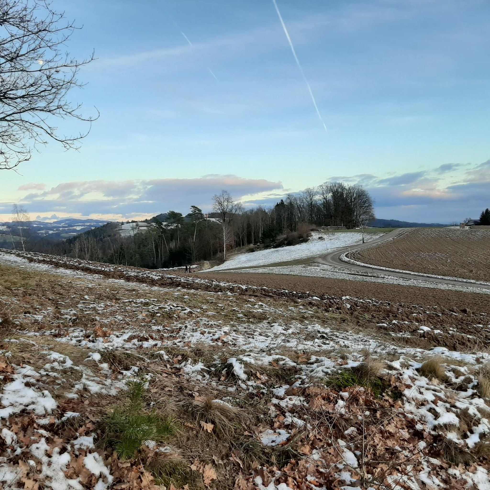
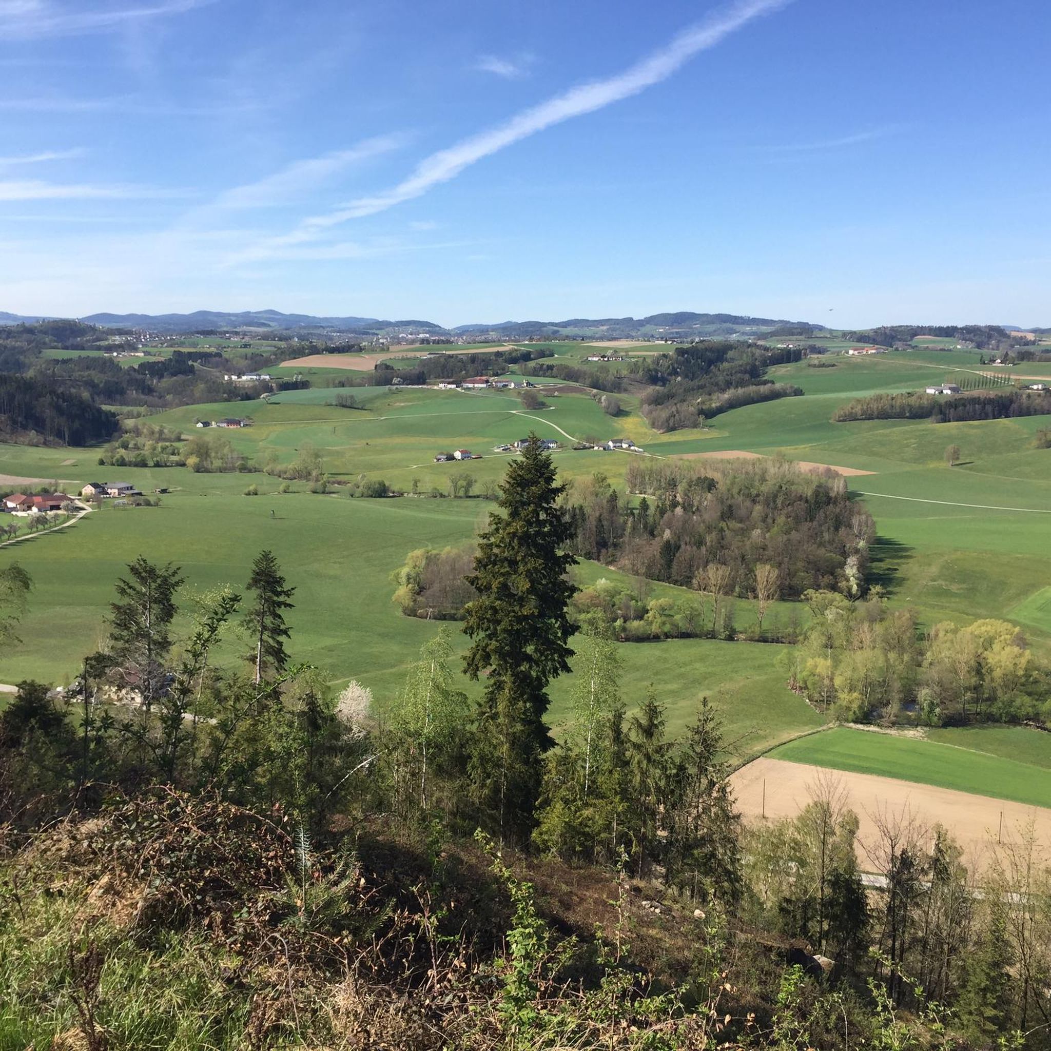
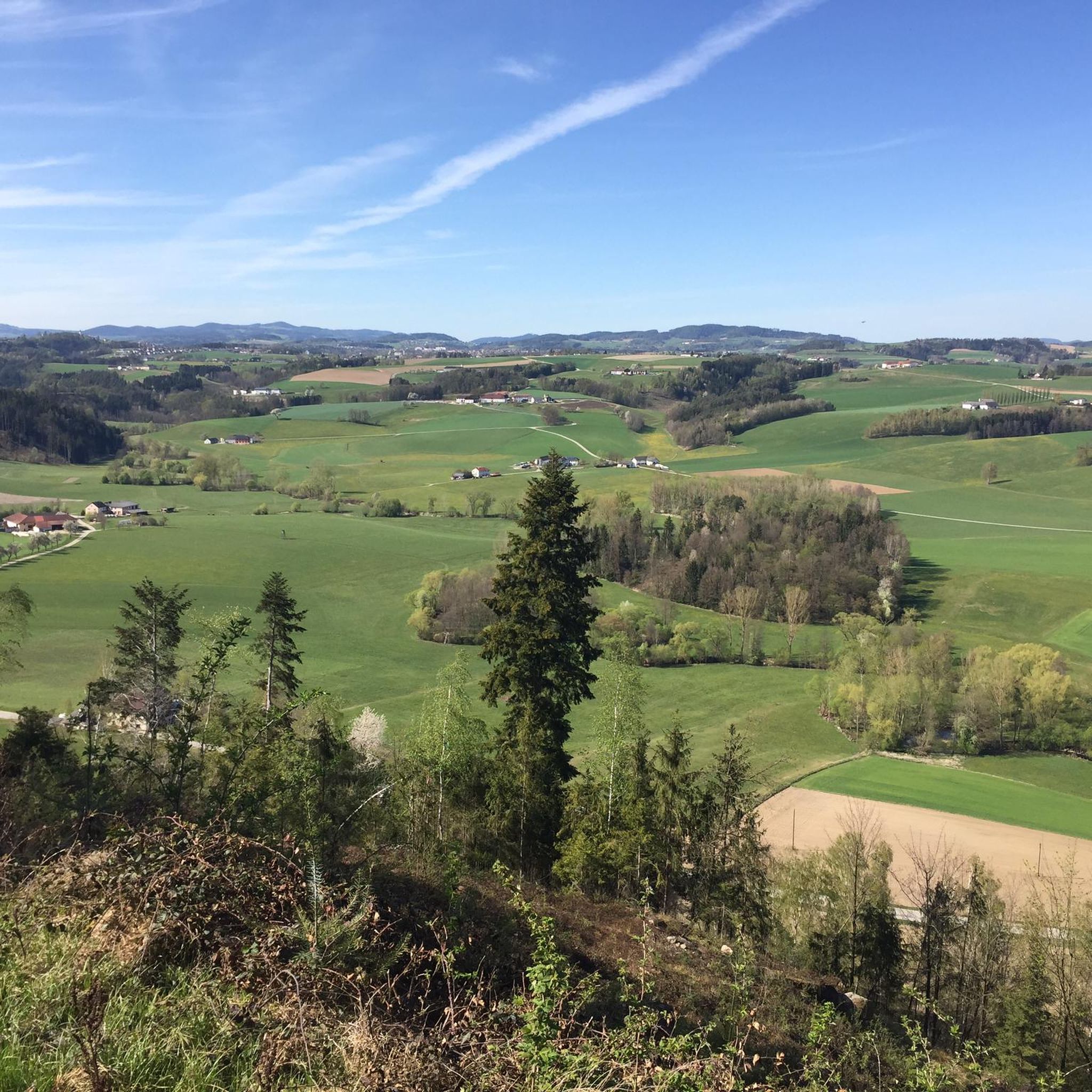
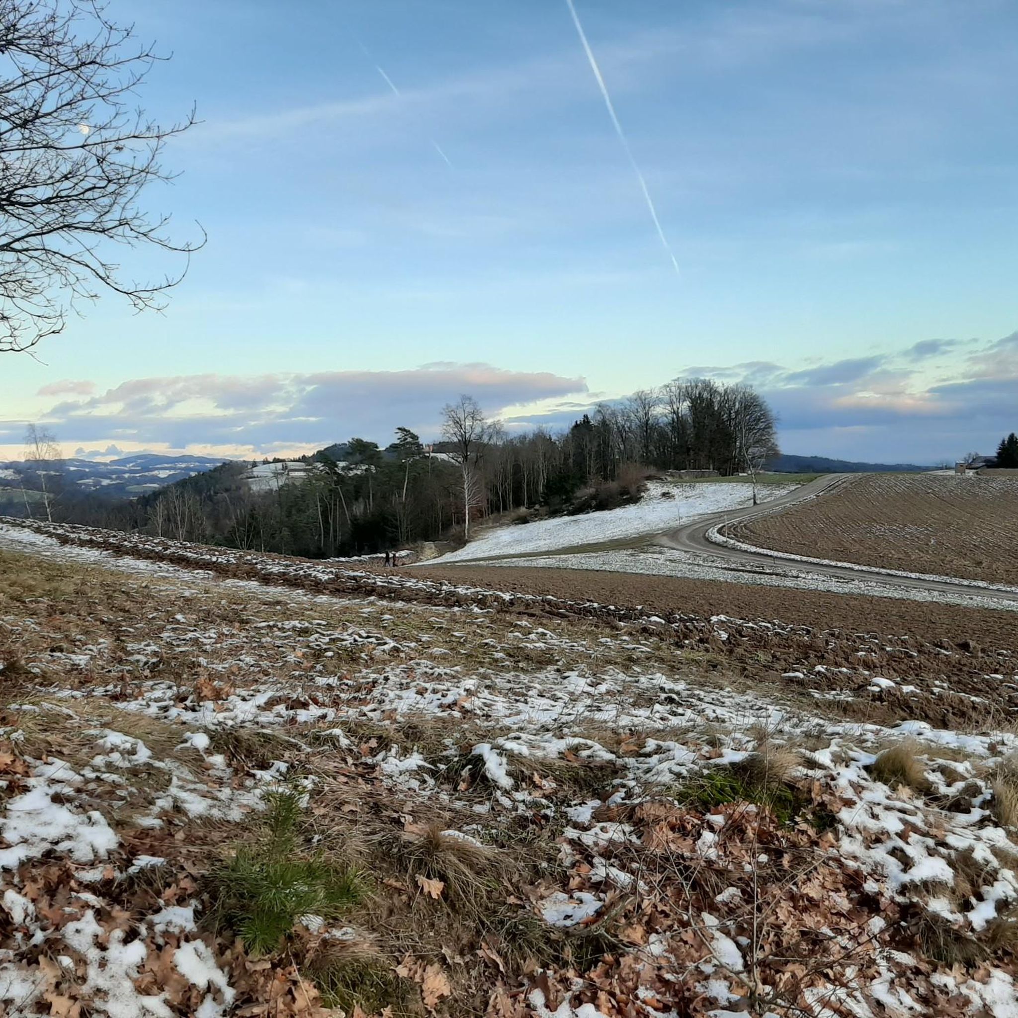

Tips from the Community

The trail doesn't lead to Steyr, of course, but towards Steyregg 🤪
0
0

Wonderful circular hike away from the hustle and bustle in the hilly Mühlviertel landscape. The legend of the devil (information board at the summit cross) is really brilliant, a clever farmer😜
2
1

The observation tower and vault are only open during the summer months. Otherwise, the ruins are freely accessible all year round.
3
2
Such rock formations are more commonly found further north in the Mühlviertel region. A great destination for a day trip that is easy to reach or can be explored via a beautiful circular hiking trail: https://www.komoot.com/de-de/tour/2058392409
2
3

A beautiful chapel with frescoes can be found below the World Stone
0
0
A Linz city summit for every season and every type of weather.
2
0

There are always great exhibitions in the castle.
1
0
The hiking trail is also wonderful when coming up from Windegg. The last stretch to the rock formation is then a matter of personal judgement.
0
0
Frequently Asked Questions
How many mountaineering routes are available in Ried in der Riedmark?
There are 4 mountain hikes around Ried in der Riedmark. All of them are rated as moderate, offering a good challenge for most hikers.
What kind of terrain can I expect on mountaineering routes around Ried in der Riedmark?
The region features predominantly rural landscapes with gentle rolling hills, forests, and farmlands. While not alpine, the routes offer diverse topography, with elevations typically ranging from 300 to 450 meters, providing scenic vistas and varied paths.
What do other mountaineers enjoy about the routes in Ried in der Riedmark?
The routes in Ried in der Riedmark are highly rated by the komoot community, with an average score of 5.0 stars. Hikers often praise the peaceful natural surroundings and the well-maintained trails that lead through forests and offer pleasant views.
Are there any circular mountaineering routes available?
Yes, many routes are circular. For example, the Three Beeches Cross – Pfenningberg Summit Cross loop from Steyregg is a moderate 8.9 km circular tour, and the Weltstein – Schwertberg Castle loop from Schwertberg is a longer 12 km circular option.
Are the mountaineering routes in Ried in der Riedmark suitable for families or beginners?
While all listed routes are moderate, the region's gentle hills and well-maintained paths make it generally suitable for those with a basic level of fitness. For a shorter, less strenuous option, consider the Pfenningberg Summit Cross – Three Beeches Cross loop from Glider airfield Linz-East, which is 2.6 km long.
Are there any historical sites or castles to explore along the routes?
Yes, the region seamlessly blends historical sites with its natural surroundings. You can find routes that pass by impressive castles. For instance, the Weltstein – Schwertberg Castle loop from Schwertberg includes views of Schwertberg Castle. Other notable castles in the wider area include Reichenstein Castle and Pragstein Castle.
What natural features can I see on the trails?
You'll encounter lush forests, rolling hills, and agricultural landscapes. The Rieder Bach and the Naarn rivers also meander through the area, adding to the scenic beauty. Some routes offer viewpoints like the BikeFeeling Bench With View of Linz and the Danube, providing expansive vistas.
What is the best time for mountaineering in Ried in der Riedmark?
The region is enjoyable for hiking throughout much of the year. Spring and autumn offer pleasant temperatures and vibrant scenery, while summer is ideal for longer days. Even in winter, the gentle terrain can be suitable for walks, though conditions should be checked.
Are there any routes that offer particularly good views?
Yes, the Three Beeches Cross – Pfenningberg Summit Cross loop from Steyregg takes you near the Pfenningberg, which is known for offering beautiful views over Linz on clear days. The Weltstein, at 478 meters, also provides wonderful circular hikes with views of the hilly Mühlviertel landscape.
Is it possible to combine mountaineering with other outdoor activities?
Absolutely. Ried in der Riedmark and the surrounding Perg district are well-regarded for various outdoor activities. You can easily combine your mountain hike with cycling or mountain biking, as there's an extensive network of trails, including access to the nearby Danube Cycle Path.
What wildlife might I encounter on the trails?
Given the region's forests and rural landscape, you might spot common woodland animals such as deer, various bird species, and smaller mammals. Keep an eye out, especially during quieter times of day.
Most popular routes around Ried in der Riedmark
Most popular attractions around Ried in der Riedmark

Get inspired with the komoot mobile app


Explore more
Browse the best Mountain Hikes & Routes in other regions.
