The best waterfall hikes and walks around Ruhpolding
4.5
(10727)
50,799
hikers
23
hikes
Waterfall hiking trails around Ruhpolding are set within the Chiemgau Alps, a region characterized by its diverse alpine landscape. The area features a mix of forested valleys, rolling hills, and higher elevations, providing varied terrain for hikers. Numerous streams and rivers feed into waterfalls, creating focal points for many routes.
Best waterfall hiking trails around Ruhpolding
- The most popular waterfall hiking route is View of Staubfall – Fischbach Waterfall loop from Östliche Chiemgauer Alpen, a 9.5 miles (15.2 km)…
Last updated: August 19, 2026
4.6
(230)
810
hikers
Moderate hike. Good fitness required. Mostly accessible paths. Sure-footedness required.
4.9
(34)
200
hikers
9.62km
05:00
790m
790m
Hard hike. Very good fitness required. Sure-footedness, sturdy shoes and alpine experience required.

Sign up for free
4.8
(44)
270
hikers
5.13km
02:14
350m
350m
Moderate hike. Good fitness required. Mostly accessible paths. Sure-footedness required.
4.6
(50)
203
hikers
8.77km
03:01
400m
400m
Moderate hike. Good fitness required. Mostly accessible paths. Sure-footedness required.
4.7
(29)
137
hikers
11.5km
04:46
690m
690m
Hard hike. Good fitness required. Sure-footedness, sturdy shoes and alpine experience required.
Get access to more routes and recommendations from other explorers.
Sign up for free
Already have an account?
Our route recommendations are based on thousands of hikes, rides, and runs completed by other people on komoot.
Start today with a free account
Your next adventure awaits.
Login or Signup
Popular around Ruhpolding
The SalzAlpenSteig – On the tracks of white gold

Maximilian Trail in Germany — Lake Constance to Königssee
A little help to the top – mountain railways & cable cars in Chiemgau
High up in Chiemgau and Berchtesgadener Land
Alps 'n Lakes – Chiemgau Gravel Escapes
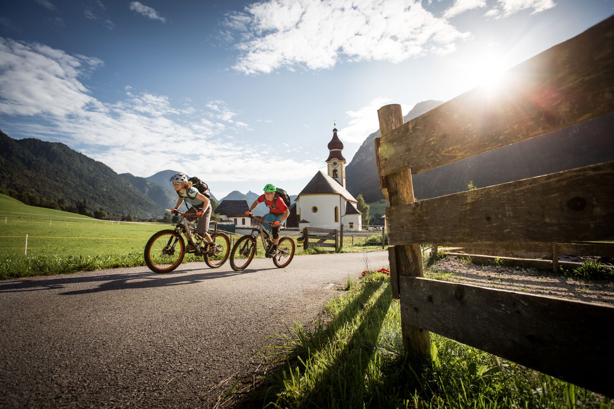
High up on the E-MTB – Watzmann Hochkönig Circuit

Triathlon around Germany
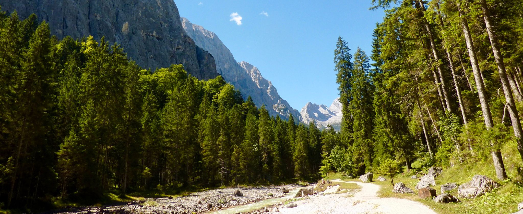
The Max Trail — across the Alps from West to East

Flow trails in ski areas
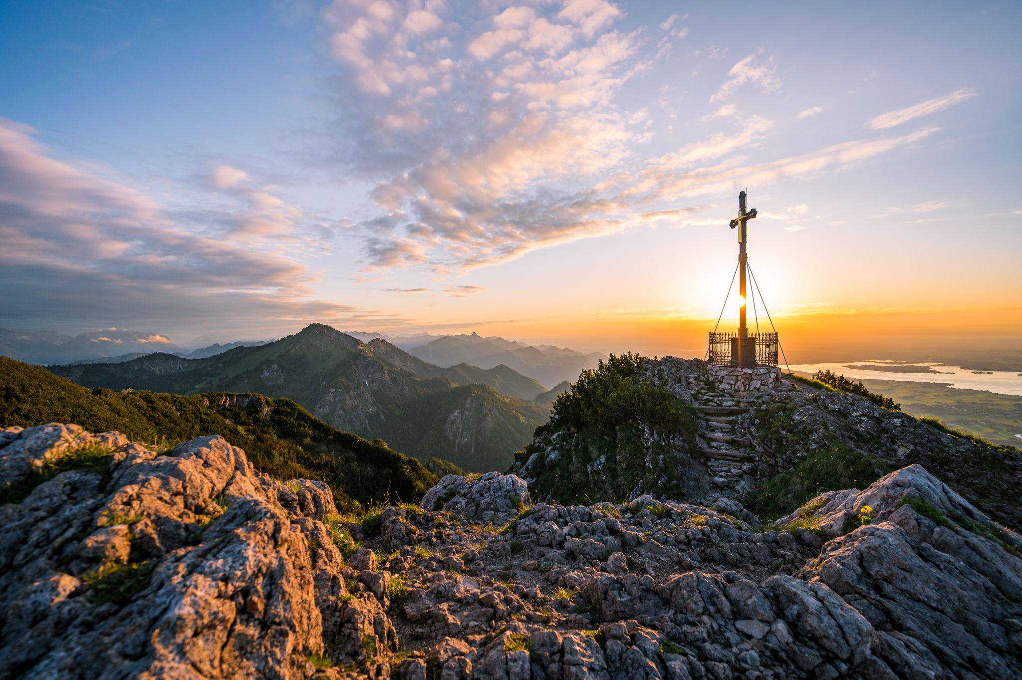
Herbst im Chiemgau – Stimmungsvolle Wanderauszeit zu zweit
Other adventures around Ruhpolding


Tips from the Community

A great view of Brand and the Unternberg, Sulzgrabnekopf and Hörndl.
0
0
A magnificent view from the Unternberg over the Sulzgrabenkopf to the Hörndl.
0
0


After the bridge, the path towards Staubfall is closed to cyclists. From here, push your bike. It's a strenuous climb, but the Staubfall more than makes up for it.
0
0

A truly beautiful hike, and the Glücksgrotte (Lucky Grotto) at the beginning is definitely worth a visit. There's delicious food and drinks at the top of the mountain pasture. You should also definitely check out the top to see if you can spot a marmot.
1
0

Great climb and a beautiful view at the summit 🥰
1
0
A wonderful view of the valley and the Unternberg.
1
0

It is interesting to go behind the waterfall and then you are in Austria
0
0
Frequently Asked Questions
How many waterfall hiking trails are available around Ruhpolding?
There are over 20 dedicated waterfall hiking trails around Ruhpolding, ranging from moderate to difficult. These routes allow you to explore the diverse alpine landscape of the Chiemgau Alps, featuring numerous streams and rivers that feed into beautiful cascades.
Are there any easy waterfall hikes suitable for beginners in Ruhpolding?
While many waterfall trails in Ruhpolding are moderate to difficult, some sections of longer routes can be adapted for easier walks. For a relatively accessible experience, consider exploring parts of the Nesslauer Waterfall – Mountain Stream Waterfall loop from Vorderbrand, which offers views of multiple cascades through varied woodland. Always check the route details for elevation and terrain to ensure it matches your comfort level.
What is the best time of year to visit the waterfalls in Ruhpolding?
The best time to visit the waterfalls in Ruhpolding is typically during spring and early summer (April to July) when snowmelt increases water flow, making the cascades particularly impressive. Autumn also offers beautiful scenery with vibrant foliage, though water levels might be lower. Winter can be magical with frozen waterfalls, but trails may be icy and require appropriate gear.
Are there any circular waterfall walks in Ruhpolding?
Yes, many of the waterfall trails in Ruhpolding are designed as circular routes, offering varied scenery without retracing your steps. A popular option is the View of Staubfall – Fischbach Waterfall loop from Östliche Chiemgauer Alpen, which is a moderate 15.2 km trail. Another excellent choice is the Nesslauer Waterfall – Thorau Alm loop from Vorderbrand, a challenging 11.5 km route through alpine meadows and dense forests.
Can I bring my dog on the waterfall hiking trails in Ruhpolding?
Most hiking trails in the Ruhpolding region, including those to waterfalls, are dog-friendly. However, it's always recommended to keep your dog on a leash, especially in nature reserves, near livestock, or on busy paths. Ensure your dog is fit enough for the chosen trail's distance and elevation, and always carry enough water for both of you.
What should I wear or bring for a waterfall hike in Ruhpolding?
For waterfall hikes in Ruhpolding, it's essential to wear sturdy, waterproof hiking boots with good grip, as trails can be wet and slippery near the cascades. Layered clothing is advisable to adapt to changing weather conditions in the mountains. Don't forget rain gear, a backpack with water and snacks, a first-aid kit, and a map or GPS device. Trekking poles can also be helpful on steeper or uneven sections.
Are there any viewpoints or scenic spots along the waterfall trails?
Absolutely! The waterfall trails in Ruhpolding are known for their scenic beauty. Routes like the View of Staubfall – Fischbach Waterfall loop from Östliche Chiemgauer Alpen offer specific viewpoints for the Staubfall and Fischbach waterfalls. Many trails also lead through alpine meadows and dense forests, providing panoramic views of the Chiemgau Alps and surrounding valleys.
What do other hikers say about the waterfall trails in Ruhpolding?
The waterfall trails in Ruhpolding are highly regarded by the komoot community, with an average rating of 4.5 stars from over 9000 reviews. Hikers frequently praise the stunning natural beauty, the well-maintained paths, and the refreshing experience of being close to the powerful cascades. Many appreciate the variety of routes available for different fitness levels.
Are there any places to eat or get refreshments near the waterfall hikes?
Yes, the Ruhpolding region has several traditional alpine huts (Almen) and guesthouses where you can stop for refreshments or a meal. For example, the Gröhrkopf Summit – Nesslauer Alm loop from Brand passes by the Nesslauer Alm, offering a chance to refuel. It's always a good idea to check opening times, especially outside of peak season.
What other attractions can I explore near the waterfall trails in Ruhpolding?
Beyond the waterfalls, Ruhpolding and its surroundings offer a wealth of attractions. You can explore historical sites like the Karlstein Castle Ruins or Marquartstein Castle. For panoramic views, consider visiting the Hochfelln Summit Cross. There are also numerous alpine huts like Hefteralm or Stoisser Alm, perfect for a break.
Is wild swimming allowed in the waterfall pools or streams?
While the sight of the waterfalls might be tempting, wild swimming in the immediate vicinity of waterfalls or in mountain streams in Ruhpolding is generally not recommended due to strong currents, cold water temperatures, and potential hidden hazards. Always prioritize safety and respect local regulations regarding swimming in natural waters.
How long do waterfall hikes in Ruhpolding typically take?
The duration of waterfall hikes in Ruhpolding varies significantly depending on the route's length and difficulty. For instance, a moderate trail like the Nesslauer Waterfall – Mountain Stream Waterfall loop from Vorderbrand typically takes around 2 hours 58 minutes, while a longer, more challenging route such as the Nesslauer Waterfall – Thorau Alm loop from Vorderbrand can take approximately 4 hours 46 minutes. Always check the estimated duration for your chosen route.
Most popular routes around Ruhpolding
Most popular attractions around Ruhpolding

Get inspired with the komoot mobile app


Explore more
Browse the best Hikes in other regions.
