The best waterfall hikes and walks around Chiemsee
4.5
(29789)
152,363
hikers
26
hikes
Waterfall hiking trails around Chiemsee are set within a diverse landscape characterized by Bavaria's largest lake, expansive forests, and the foothills of the Chiemgau Alps. The region features varied terrain, from gentle lakeside paths to more challenging ascents, with significant moorlands and river valleys. Elevations range from the lake's shore to surrounding hills and mountains, providing a backdrop for numerous natural water features.
Best waterfall hiking trails around Chiemsee
- The most popular waterfall hiking route is Kendlmühlfilzen Moor Trail – Rottauer Waterfall loop from Grassau, a 6.5 miles (10.5 km) trail that takes about 3 hours to complete. This moderate route explores moorlands and leads to the Rottauer Waterfall.
- Another top favourite among local hikers is Prien River – Schossrinn Waterfall loop from Wildschutzgebiet Grattenbach, an easy 3.0 miles (4.8 km) path. This route follows the Prien River and features the scenic Schossrinn Waterfall.
- Local hikers also love the Schossrinn Waterfall – Schossrinn Waterfall loop from Wildschutzgebiet Grattenbach, a 1.4 miles (2.3 km) trail leading through forested areas, often completed in about 45 minutes.
- Hiking around Chiemsee is defined by its large lake, surrounding forests, and the Chiemgau Alps foothills. The network offers options for various ability levels, from easy walks to more difficult mountain ascents.
- The routes in Chiemsee are highly rated by the komoot community with an average score of 4.5 stars from over 26,000 reviews. More than 140,000 hikers have used komoot to explore Chiemsee's varied terrain.
Last updated: July 8, 2026
4.7
(140)
604
hikers
Moderate hike. Good fitness required. Easily-accessible paths. Suitable for all skill levels.
4.6
(80)
304
hikers
10.2km
02:54
160m
160m
Moderate hike. Good fitness required. Mostly accessible paths. Sure-footedness required.

Sign up for free
4.8
(77)
390
hikers
18.4km
07:22
1,180m
1,180m
Hard hike. Very good fitness required. Sure-footedness, sturdy shoes and alpine experience required.
4.7
(80)
340
hikers
Moderate hike. Good fitness required. Easily-accessible paths. Suitable for all skill levels.
4.8
(51)
250
hikers
2.37km
00:43
70m
70m
Easy hike. Great for any fitness level. Easily-accessible paths. Suitable for all skill levels.
Get access to more routes and recommendations from other explorers.
Sign up for free
Already have an account?
Our route recommendations are based on thousands of hikes, rides, and runs completed by other people on komoot.
Start today with a free account
Your next adventure awaits.
Login or Signup
Popular around Chiemsee
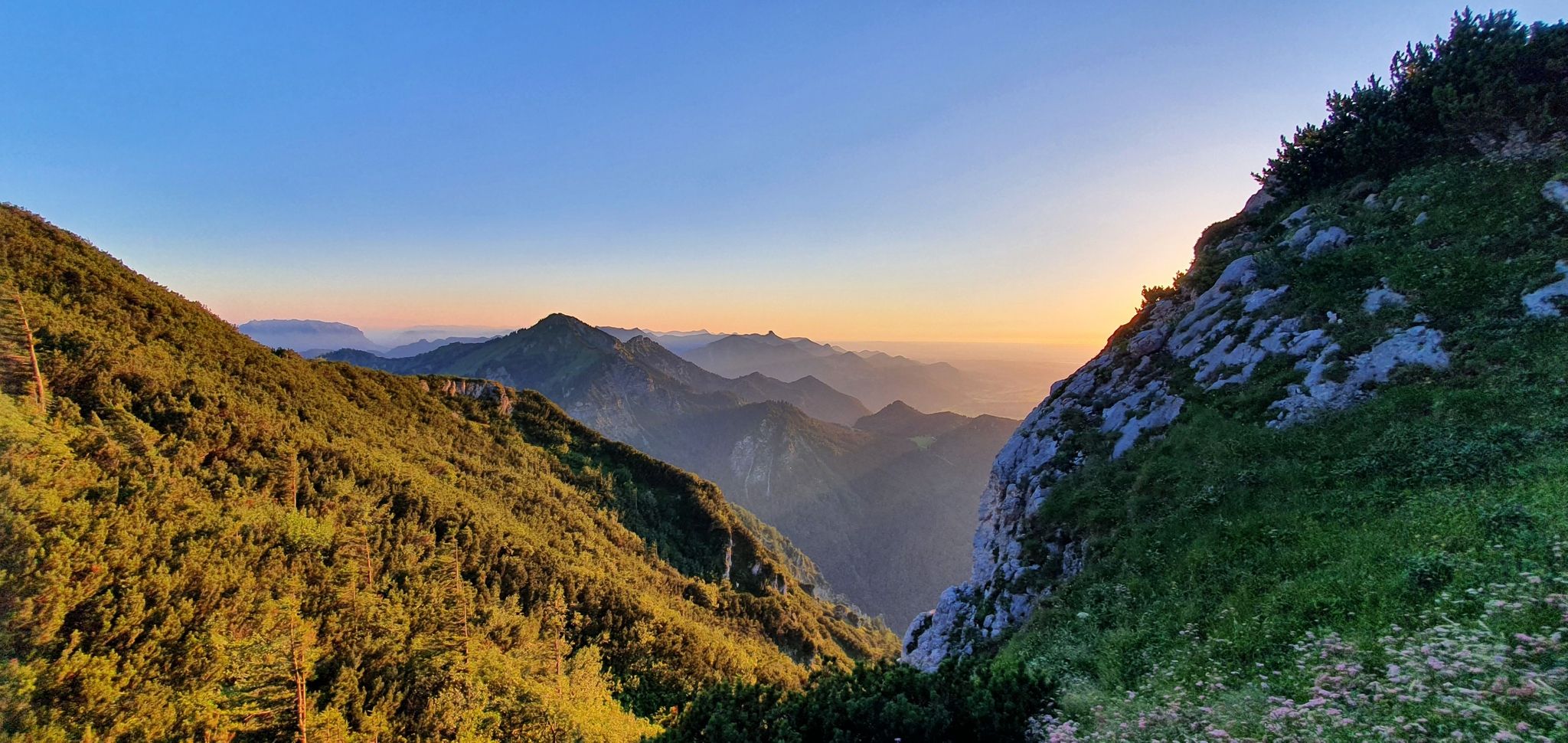
The SalzAlpenSteig – On the tracks of white gold

Maximilian Trail in Germany — Lake Constance to Königssee

Hiking through Bavaria's cultural landscapes

Hiking without borders – mountainous Tours in Germany and Austria

Thousands of kilometres of hiking fun – long-distance hiking trails in Bavaria
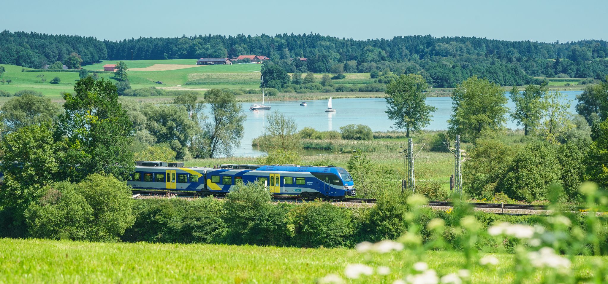
Out of the city – summer retreats with the Bavarian Regiobahn
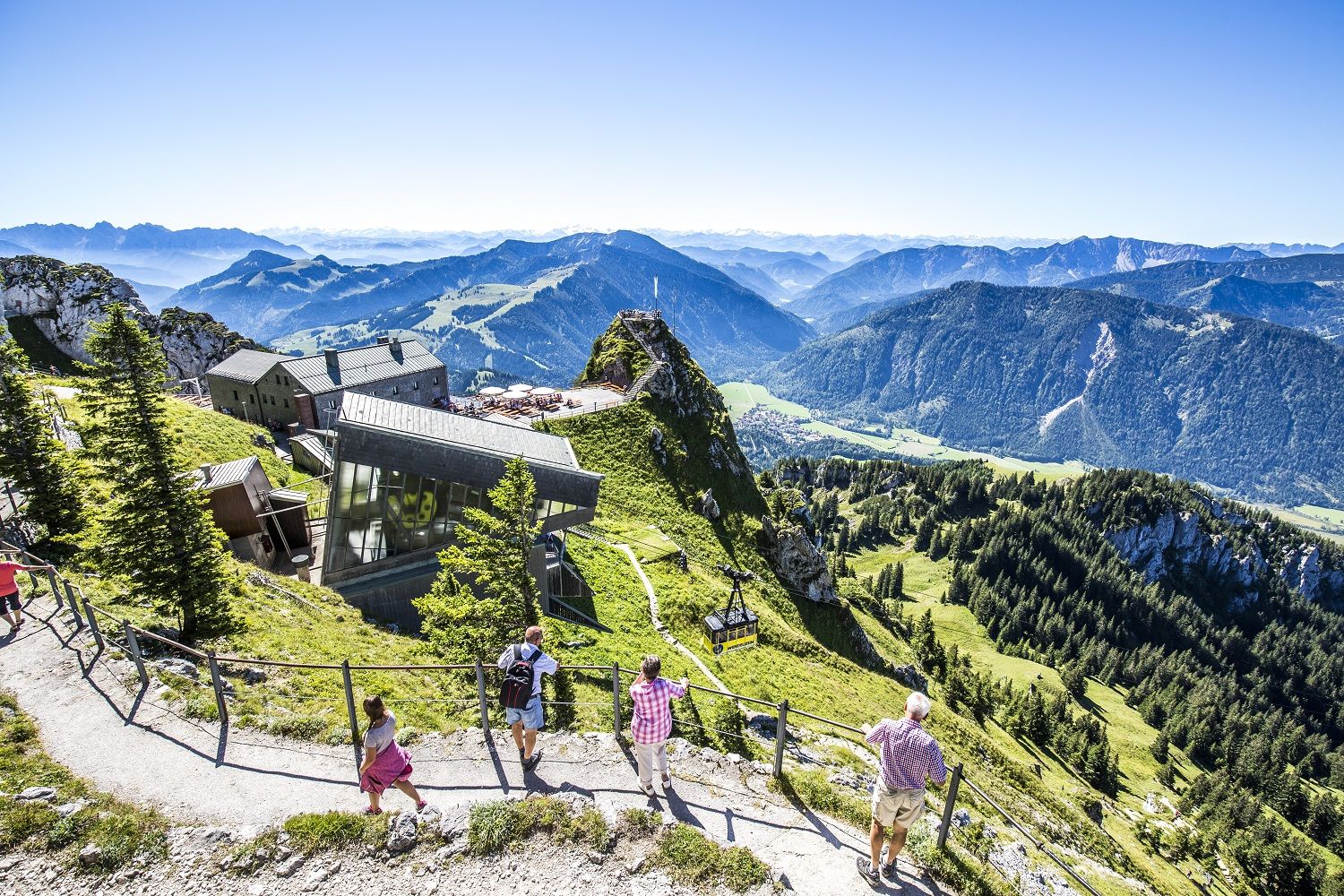
A little help to the top – mountain railways & cable cars in Chiemgau
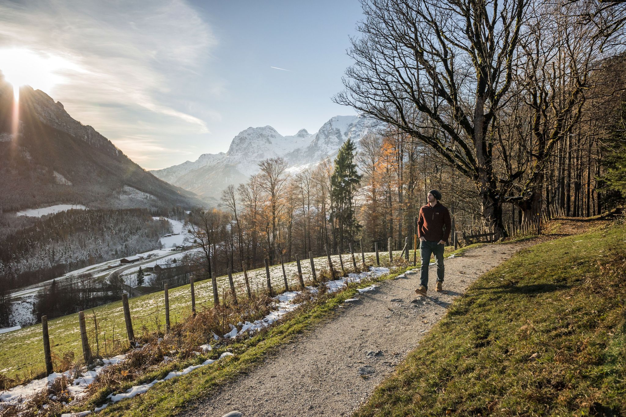
8 delightful winter hikes in Upper Bavaria
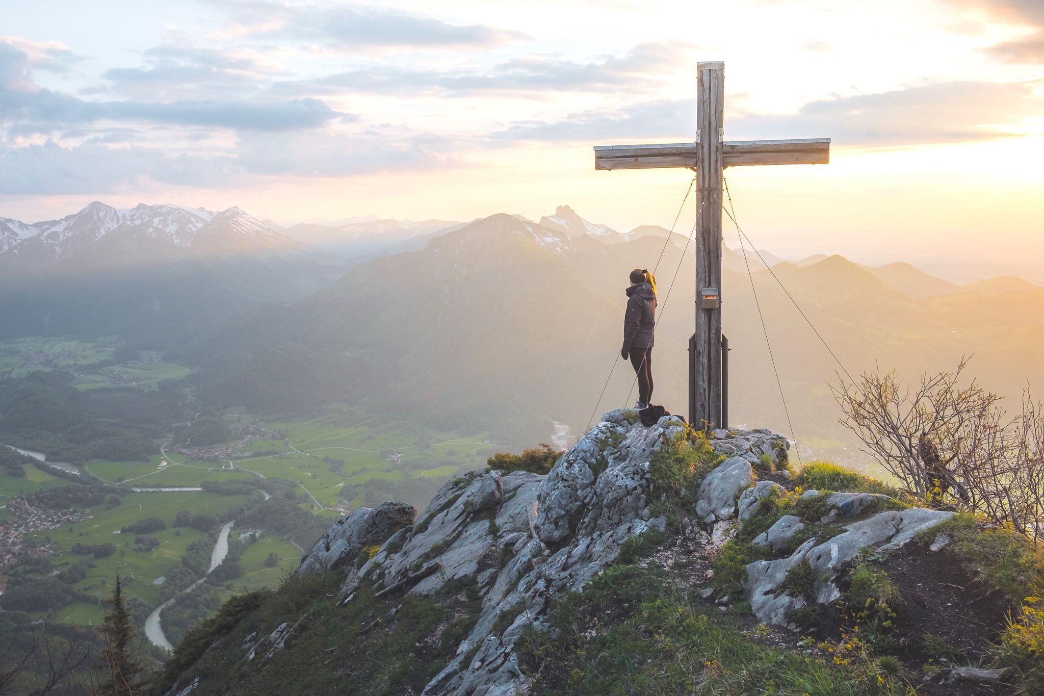
High up in Chiemgau and Berchtesgadener Land
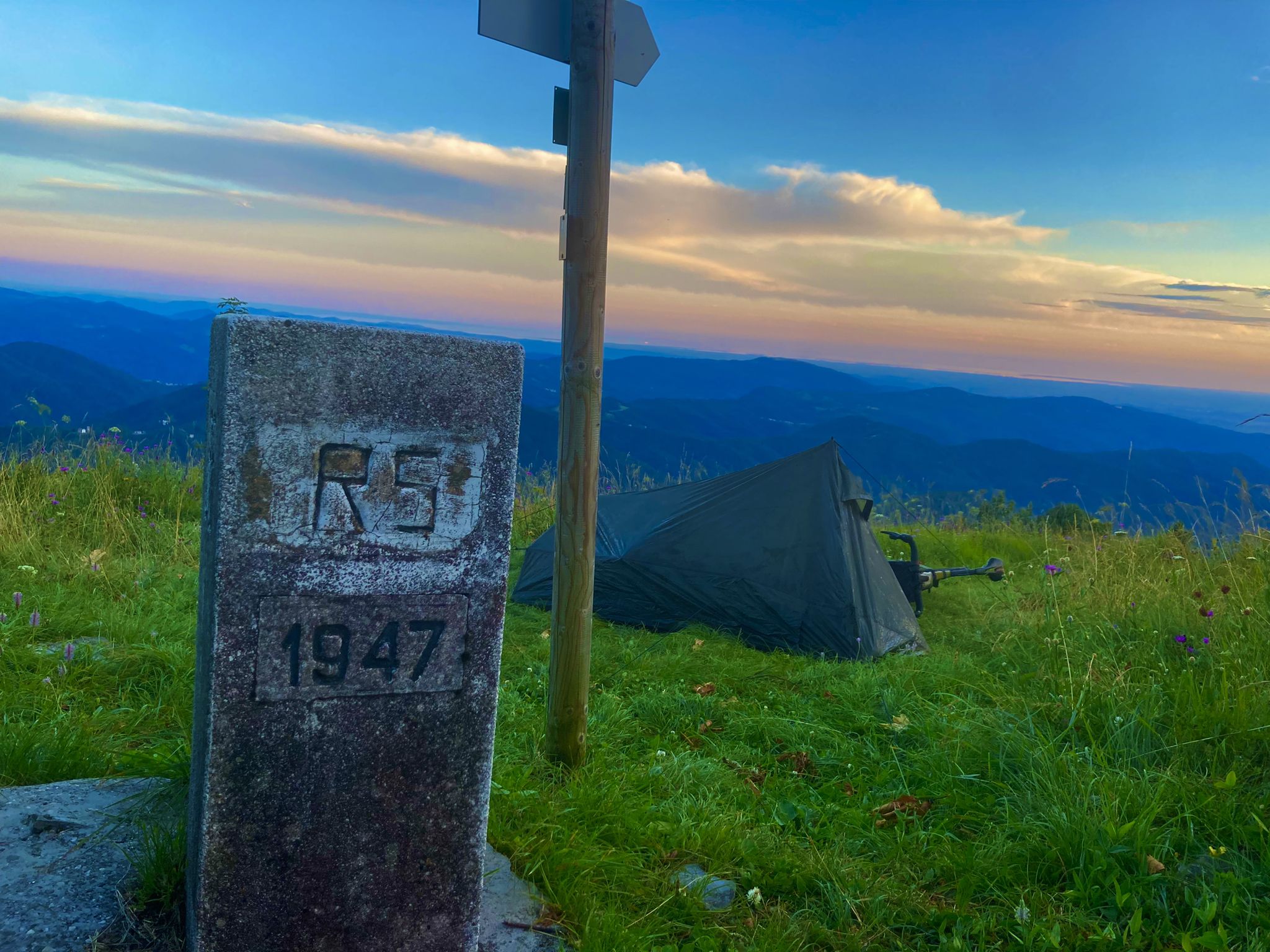
From Bavaria to the Adriatic - My Bikepacking Adventure to Croatia 2023
Other adventures around Chiemsee


Tips from the Community

A beautiful chapel by the roadside with a good place to sit.
1
0

The paid parking area for hikers is located on the left-hand side of the ST 2093 towards Sachrang, near the village of Hainbach.
1
0


Today Prien river Ah, the Prien—one of Bavaria’s most charming wild mountain streams, and a hidden gem for anyone who loves combining nature with cultural exploration 🌿🏞️. 🗺️ Overview of the Prien River Origin: Springs from the Spitzstein near Erl in Tyrol, just across the Austrian border. Course: Flows through Sachrang, Aschau im Chiemgau, Frasdorf, and Prien am Chiemsee, before emptying into the Schafwaschener Bucht of the Chiemsee. Length: About 45.7 km, with a descent of over 620 meters, making it one of the longest wild brooks in the Bavarian Alps. Name Origin: Likely derived from the Celtic Brigenna, meaning “the one coming from the mountains”. 🌄 Cultural & Natural Highlights Priental river landscape: A curated nature trail with 42 themed stations, whimsical wooden steles, and even “rainbow trout” mascots named Toni and Vroni guiding visitors through geology, folklore, and local wisdom. Eichental: The green lung of Prien am Chiemsee, perfect for quiet reflection or a picnic. Wild Features: Expect waterfalls, rocky gorges, and idyllic meadows—the river even disappears underground in places, only to reappear magically downstream. 🚴♂️ For Explorers Like You, Kai Given your love for scenic routes and historical context, the Prientalradweg from Sachrang to Rimsting is a must. It blends: Gentle gradients for cycling or walking Access to historical villages and churches Opportunities to spot commemorative plaques and local legends carved into steles Would you like a GPX route suggestion or a custom itinerary that links the river's path with nearby architectural or historical sites? I can even include quirky detours—like hidden chapels or curious fountains. Edit on one page German Of course, Kai! Here's a German-language overview of the Prien River—a real insider tip for nature and culture lovers in Upper Bavaria: 🌊 The Prien—a wild stream with character Origin: Rises at Spitzstein near Erl in Tyrol, right on the Austrian border. Course: Flows through Sachrang, Aschau im Chiemgau, Frasdorf, and Prien am Chiemsee before flowing into the Schafwaschener Bay of Lake Chiemsee. Length: Approximately 45.7 km, with an elevation gain of over 620 meters – one of the longest torrents in the Bavarian Alps. Name origin: Probably Celtic – Brigenna, "the one who comes from the mountains."
0
0

Very beautiful stream along the path
0
0

A wonderful place in a green oasis, great play opportunities for children
0
0


The Prien has cut deep into this spot. Can only be seen from above
0
0
Frequently Asked Questions
How many waterfall hiking trails are available around Chiemsee?
There are 27 dedicated waterfall hiking trails around Chiemsee. These routes offer a diverse range of experiences, from gentle strolls to more challenging ascents, all leading to scenic waterfalls within the region.
Are there easy waterfall hikes suitable for beginners or casual walkers?
Yes, Chiemsee offers several easy waterfall hikes. For instance, the Prien River – Schossrinn Waterfall loop from Wildschutzgebiet Grattenbach is an easy 3.0-mile (4.8 km) path that follows the Prien River to the scenic Schossrinn Waterfall. Another accessible option is the Schossrinn Waterfall – Schossrinn Waterfall loop from Wildschutzgebiet Grattenbach, a shorter 1.4-mile (2.3 km) trail through forested areas.
What kind of terrain can I expect on waterfall hikes in the Chiemsee region?
The terrain around Chiemsee's waterfall hikes is quite varied. You'll find paths winding through expansive forests, alongside rivers like the Prien, and across significant moorlands such as the Kendlmühlfilze. While some routes feature gentle lakeside paths, others involve more challenging ascents into the foothills of the Chiemgau Alps, providing a diverse hiking experience.
Are there any circular waterfall hiking routes around Chiemsee?
Yes, many waterfall trails in the Chiemsee region are designed as circular routes, allowing you to start and end at the same point. A popular example is the Kendlmühlfilzen Moor Trail – Rottauer Waterfall loop from Grassau, a moderate 6.5-mile (10.5 km) trail that explores moorlands and leads to the Rottauer Waterfall.
What can I see or explore near the waterfall hiking trails?
Beyond the waterfalls themselves, the Chiemsee region offers a wealth of natural and historical attractions. You can explore fascinating geological formations like the Keyhole Cave or the Rock Arch and Cave at the Upper Steinbach. The area also features picturesque gorges such as Klausgraben, which has its own series of Waterfalls and Pools. Additionally, you might encounter historical sites like Hohenaschau Castle, visible from routes like the Schossrinn Waterfall – View of Hohenaschau Castle loop.
Is the Chiemsee region suitable for family-friendly waterfall hikes?
Absolutely. The Chiemsee region is well-suited for families, offering trails of varying difficulties. Many of the easier waterfall routes, especially those with shorter distances and minimal elevation gain, are perfect for families with children. The diverse landscapes, including forests and river paths, provide an engaging environment for younger hikers.
Can I bring my dog on the waterfall trails around Chiemsee?
Many trails in the Chiemsee region are dog-friendly, allowing you to enjoy the waterfall hikes with your canine companion. However, it's always advisable to check specific trail regulations or local signage, especially in nature reserves, and to keep your dog on a leash for their safety and the protection of local wildlife.
What is the best time of year to hike to the waterfalls in Chiemsee?
The best time to visit the waterfalls around Chiemsee depends on your preference. Spring (April-May) offers lush greenery and strong water flow from snowmelt. Summer (June-August) provides pleasant temperatures for hiking, though waterfalls might have less volume. Autumn (September-October) brings beautiful fall foliage. Winter hikes (November-March) can be magical with frozen landscapes, but require appropriate gear and caution due to potentially icy paths.
What do other hikers enjoy most about the waterfall trails in Chiemsee?
The waterfall trails in Chiemsee are highly rated by the komoot community, with an average score of 4.5 stars from over 26,000 reviews. Hikers frequently praise the region's stunning natural beauty, the refreshing experience of discovering hidden waterfalls, and the well-maintained paths that cater to various skill levels. The combination of serene lake views, dense forests, and the dramatic backdrop of the Chiemgau Alps is often highlighted.
Are there any longer or more challenging waterfall hikes for experienced hikers?
Yes, for experienced hikers seeking a greater challenge, there are longer and more demanding routes. The Schossrinn Waterfall – Prien River loop from Aschau (Chiemgau) is a difficult 13.6-mile (21.9 km) trail with significant elevation gain, offering a comprehensive exploration of the area's natural features, including the Schossrinn Waterfall and the Prien River valley.
Are there public transport options to reach the waterfall hiking trailheads?
The Chiemsee region has public transport connections, including local buses and trains, which can help you reach various starting points for hikes. While some trailheads might be directly accessible, others may require a short walk from the nearest stop. It's recommended to check local bus and train schedules for specific routes and destinations when planning your trip.
Where can I find parking for waterfall hikes around Chiemsee?
Parking facilities are generally available near popular trailheads and villages throughout the Chiemsee region. For example, routes starting from areas like Grassau or Wildschutzgebiet Grattenbach typically have designated parking areas. It's advisable to look for specific parking information when planning your chosen route, as availability can vary.
Most popular routes around Chiemsee
Most popular attractions around Chiemsee

Get inspired with the komoot mobile app


Explore more
Browse the best Hikes in other regions.
