Lechabschnitt Hirschauer Steilhalde - Litzauer Schleife
Lechabschnitt Hirschauer Steilhalde - Litzauer Schleife
The best mountain hikes in Lechabschnitt Hirschauer Steilhalde - Litzauer Schleife
5.0
(4)
35
hikers
3
hikes
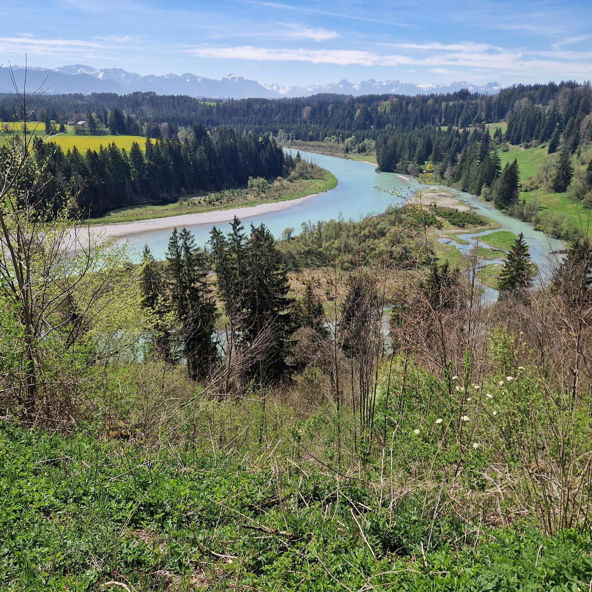
Mountaineering routes in Lechabschnitt Hirschauer Steilhalde - Litzauer Schleife traverse a unique natural river landscape in Upper Bavaria, Germany. The region is characterized by the turquoise-green Lech River, forming distinctive bends known as the Litzauer Schleife. Steep, rocky, and forested slopes of the Hirschauer Steilhalde contribute to the area's varied topography, offering elevated perspectives. While primarily a hiking area, it presents challenging trails that require good fitness and sure-footedness, set within a significant ecological conservation zone.
Best mountaineering routes in…
Last updated: August 28, 2026
5.0
(1)
12
hikers
7.53km
02:27
240m
240m
Moderate mountaineering route. Good fitness required. Mostly accessible paths. Sure-footedness required.
5.0
(2)
12
hikers
9.06km
03:01
360m
360m
Moderate mountaineering route. Good fitness required. Mostly accessible paths. Sure-footedness required.

Sign up for free
3
hikers
4.24km
01:23
180m
180m
Easy mountaineering route. Great for any fitness level. Easily-accessible paths. Suitable for all skill levels.
Our route recommendations are based on thousands of hikes, rides, and runs completed by other people on komoot.
Start today with a free account
Your next adventure awaits.
Login or Signup
Popular around Lechabschnitt Hirschauer Steilhalde - Litzauer Schleife
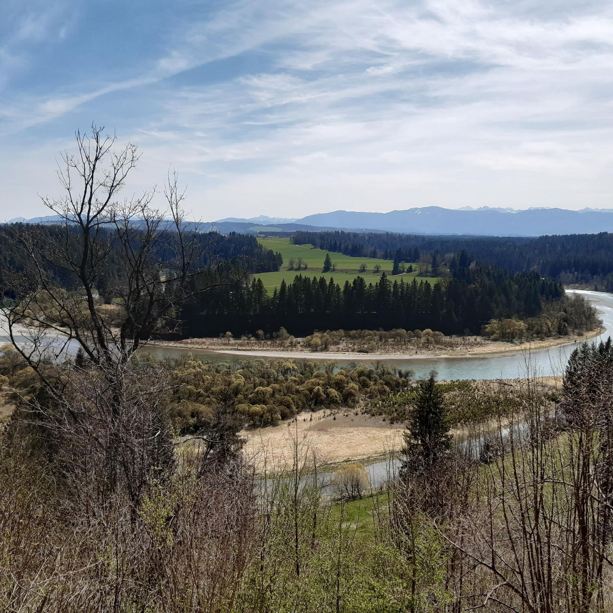
MTB Trails in Lechabschnitt Hirschauer Steilhalde - Litzauer Schleife
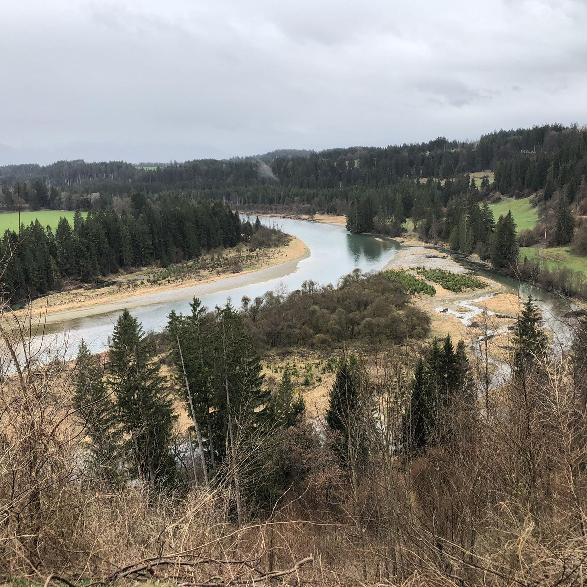
Road Cycling Routes in Lechabschnitt Hirschauer Steilhalde - Litzauer Schleife

Gravel biking in Lechabschnitt Hirschauer Steilhalde - Litzauer Schleife
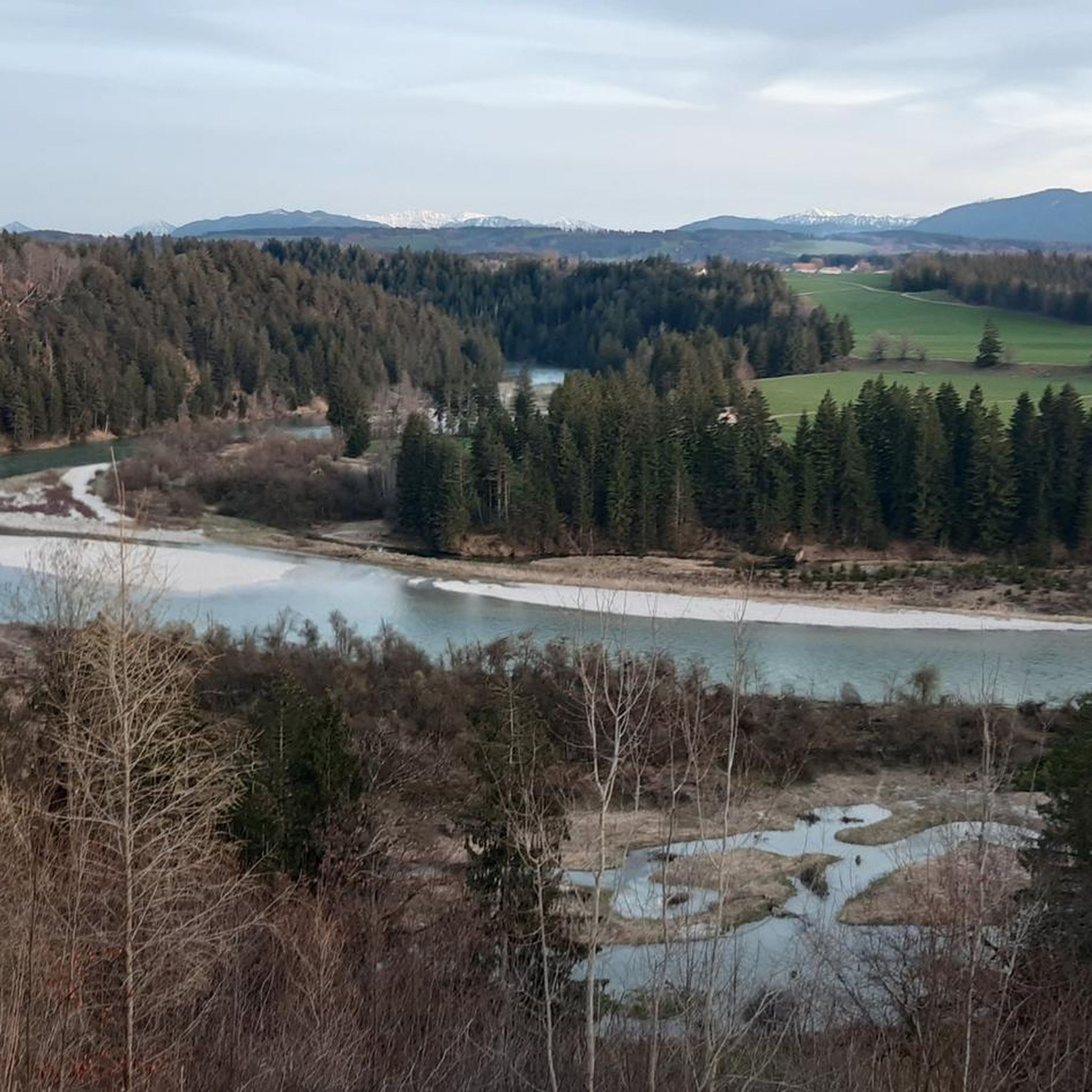
Cycling in Lechabschnitt Hirschauer Steilhalde - Litzauer Schleife
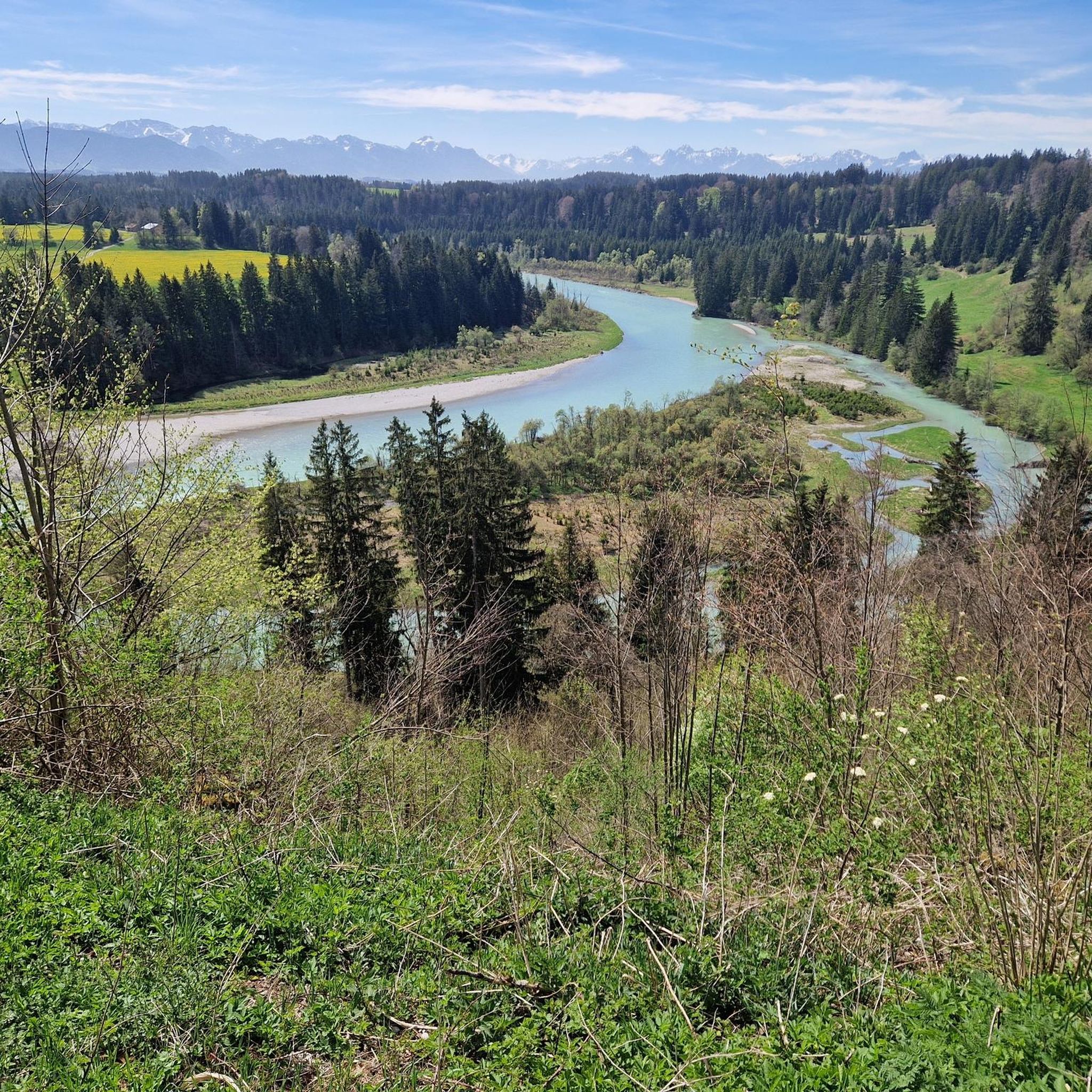
Hiking in Lechabschnitt Hirschauer Steilhalde - Litzauer Schleife
Running Trails in Lechabschnitt Hirschauer Steilhalde - Litzauer Schleife
Tips from the Community

Interesting whim of nature
0
0

On the way up the Jägersteig there are always fantastic views of the Alps, the Auerbergland and the Pfaffenwinkel.
3
0
The ascent from Bernbeuren to the Auerberg through the Feuerstein Gorge and the adjoining Jägersteig trail is a popular hike in the western Pfaffenwinkel region. The wildly romantic lower section of the trail mostly follows the stream, while further up it frequently crosses small footbridges from one side of the stream to the other.
3
0

Schnalz 901m above sea level Alpine panorama
1
0
The rooty Jägersteig trail follows the Feuerstein Gorge on the way to the summit of the Auerberg. Along the trail, there are also wonderful views of the Allgäu, Tannheim, and Ammergau Alps.
1
0
Signposted Root Trail to Auerberg A great hike for kids, but not necessarily suitable for Sunday shoes and sneakers!
1
0

The crystal in the summit cross of Schnalz near Böbing has a complex meaning that encompasses both cultural and spiritual aspects. It symbolizes purity and clarity and is often associated with healing properties that provide comfort and protection to visitors. In addition, the crystal represents a deep connection to nature as it is a natural mineral that comes from the earth. Its use in the cross can also symbolize the energy and power of the people who climb the mountains. Overall, the crystal embodies a deeper connection to spirituality, nature and the values associated with the summit cross, thus contributing to the significance of this place as a spiritual retreat and cultural heritage.
0
0
The summit cross on the Schnalz near Böbing was erected in 1950 and symbolizes the Christian faith and the village community's connection with its homeland. After a renovation in 1982, it is now a popular hiking destination and meeting point for mountain services. It offers a place of reflection and a beautiful view over the Ammer Valley and the Alpine foothills.
0
0
Frequently Asked Questions
How many mountaineering routes are available in Lechabschnitt Hirschauer Steilhalde - Litzauer Schleife?
There are 3 dedicated mountaineering routes in the Lechabschnitt Hirschauer Steilhalde - Litzauer Schleife region. These routes offer a range of experiences within this unique river landscape.
What kind of terrain can I expect on the mountaineering routes?
The terrain in Lechabschnitt Hirschauer Steilhalde - Litzauer Schleife is characterized by steep, rocky, and forested slopes, particularly along the Hirschauer Steilhalde. You'll find diverse topography with elevated perspectives, requiring sure-footedness and sturdy shoes. While not technical climbing, the routes offer an alpine character for advanced hikers.
Are there any notable natural features or landmarks to see along the routes?
Yes, the region is rich in natural beauty and interesting landmarks. You can experience the distinctive turquoise waters and gravel banks of the Lech River, and the winding Litzauer Lech Loop. Other points of interest include the Lech Weir 4 and the Origin of the Stones in the Lech monument, which provides insights into the river's geology.
Are there any circular mountaineering routes in the area?
Yes, all the mountaineering routes in this guide are circular. For example, you can explore the scenic Feuerstein Gorge – Feuerstein Gorge loop from Bernbeuren, or the Schnalz – Schnalz Höhle - Teufelsküche loop from Ramsau, which leads through varied terrain.
What is the best time of year for mountaineering in Lechabschnitt Hirschauer Steilhalde - Litzauer Schleife?
The best time for mountaineering is generally from spring to autumn when the weather is mild and trails are clear. The region's unique river landscape and forested areas are particularly beautiful during these seasons. Always check local weather conditions before heading out.
What should I wear for mountaineering in this region?
Given the challenging terrain with steep and rocky sections, sturdy hiking boots with good ankle support are essential. Layered clothing is recommended to adapt to changing weather conditions, and waterproof outerwear is advisable. Bring sufficient water and snacks, and consider trekking poles for stability on descents.
Are the mountaineering routes suitable for families with children?
The mountaineering routes in Lechabschnitt Hirschauer Steilhalde - Litzauer Schleife are generally considered moderate to difficult, requiring good fitness and sure-footedness. While some sections might be manageable for older, experienced children, they are not typically classified as family-friendly for younger children due to the alpine character and steep terrain. The Schnalz loop from Böbing is the easiest option, but still requires a good level of fitness.
Can I bring my dog on the mountaineering trails?
Many trails in the Lechabschnitt Hirschauer Steilhalde - Litzauer Schleife nature reserve are dog-friendly. However, due to the challenging terrain, steep sections, and potential for wildlife encounters, it's crucial that your dog is well-behaved, on a leash, and capable of handling longer, more strenuous hikes. Always check specific trail regulations before you go.
Are there any viewpoints offering panoramic views?
Yes, the region offers several elevated perspectives. A key attraction is the View of the Litzauer Lech Loop, which provides unique panoramic views of the winding Lech River and the surrounding Oberland region. The steep slopes of the Hirschauer Steilhalde also contribute to expansive views of the Lech Valley and distant Alpine panoramas.
What do other mountaineers say about the routes in Lechabschnitt Hirschauer Steilhalde - Litzauer Schleife?
The mountaineering routes in Lechabschnitt Hirschauer Steilhalde - Litzauer Schleife are highly rated by the komoot community, with an average score of 5.0 stars. Mountaineers often praise the unique natural river landscape, the challenging yet rewarding terrain, and the diverse forested areas that make each tour an engaging experience.
Are there options for wild swimming in the Lech River?
The Lech River is known for its distinctive turquoise waters. While the area is a nature reserve, some sections might be suitable for a refreshing dip, especially along the extensive gravel banks. However, always exercise caution, be aware of strong currents, and respect local regulations regarding swimming in protected areas.
Where can I find parking or public transport access for the trails?
Specific parking information varies by trailhead. For routes starting from villages like Bernbeuren, Ramsau, or Böbing, you can usually find designated parking areas. Public transport options might be limited, so checking local bus schedules to nearby towns is recommended if you plan to rely on it. Planning your route in advance on komoot can help identify suitable starting points with parking or public transport connections.
Most popular routes in Lechabschnitt Hirschauer Steilhalde - Litzauer Schleife
Most popular attractions in Lechabschnitt Hirschauer Steilhalde - Litzauer Schleife

Get inspired with the komoot mobile app


Explore more
Browse the best Mountain Hikes & Routes in other regions.
