The best running trails around Lolo
66
runners
8
runs
Jogging around Lolo, Montana, is set within the diverse landscapes of the Lolo National Forest and the Bitterroot Valley. The region features varied terrain with thick forests, rolling meadows, and views of the Bitterroot Range. Runners can find paths along the Clark Fork River and through areas with gentle elevation changes. This natural setting provides a dynamic backdrop for various running experiences.
Best jogging routes around Lolo
- The most popular jogging route is Clark Fork River – Kim Williams Trail…
Last updated: September 28, 2026
6
runners
2.92km
00:18
10m
10m
Easy run. Great for any fitness level. Mostly paved surfaces. Suitable for all skill levels.
4
runners
14.6km
01:31
40m
40m
Moderate run. Good fitness required. Mostly paved surfaces. Suitable for all skill levels.

7
runners
11.2km
01:31
340m
340m
Hard run. Very good fitness required. Mostly paved surfaces. Suitable for all skill levels.
3
runners
2.97km
00:18
0m
0m
Easy run. Great for any fitness level. Mostly paved surfaces. Suitable for all skill levels.
5
runners
10.4km
01:05
20m
20m
Moderate run. Good fitness required. Mostly paved surfaces. Suitable for all skill levels.
Get access to more routes and recommendations from other explorers.
Already have an account?
Our route recommendations are based on thousands of hikes, rides, and runs completed by other people on komoot.
Start today with a free account
Your next adventure awaits.



Tips from the Community

Jacob's Island is a dog park on the banks of Clark Fork River. The park is 6-acres and the river works as a beautiful natural barrier for the dogs. It also offers a series of paved and unpaved trails, benches, picnic tables and dog-waste bags.
0
0
Jacob's Island is a dog park on the banks of Clark Fork River. The park is 6 acres and the river works as a beautiful natural barrier for the dogs. It also offers a series of paved and unpaved trails, benches, picnic tables and dog-waste bags.
0
0

McCormic Park marks the western terminus of the Kim Williams Trail and the eastern terminus of the Milwaukee Trail. The park has some playing fields, open space, picnic areas, and is nestled up right next to the river.
0
0

A park with sports fields, trails, a fishing pond & pool. Lots of water fountains, benches and grassy areas.
1
0


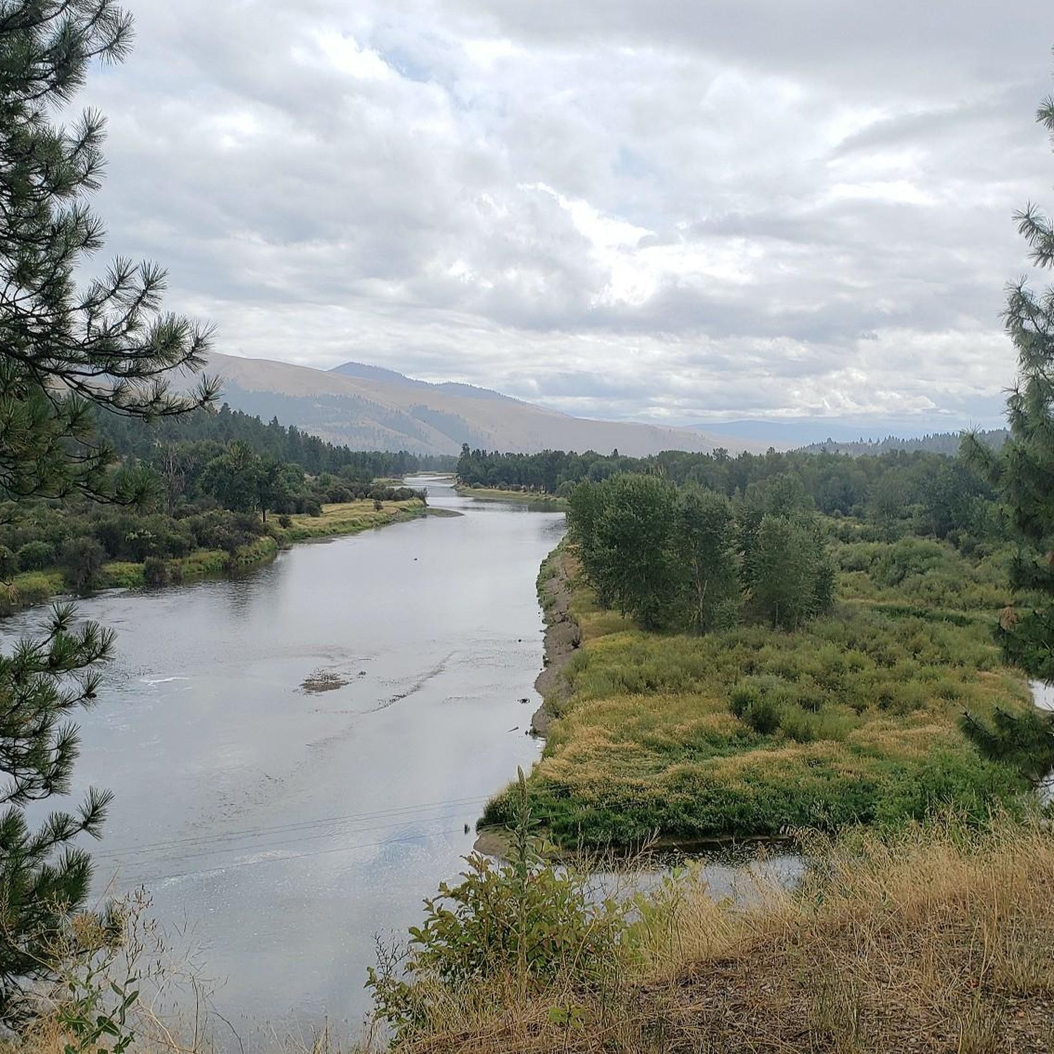
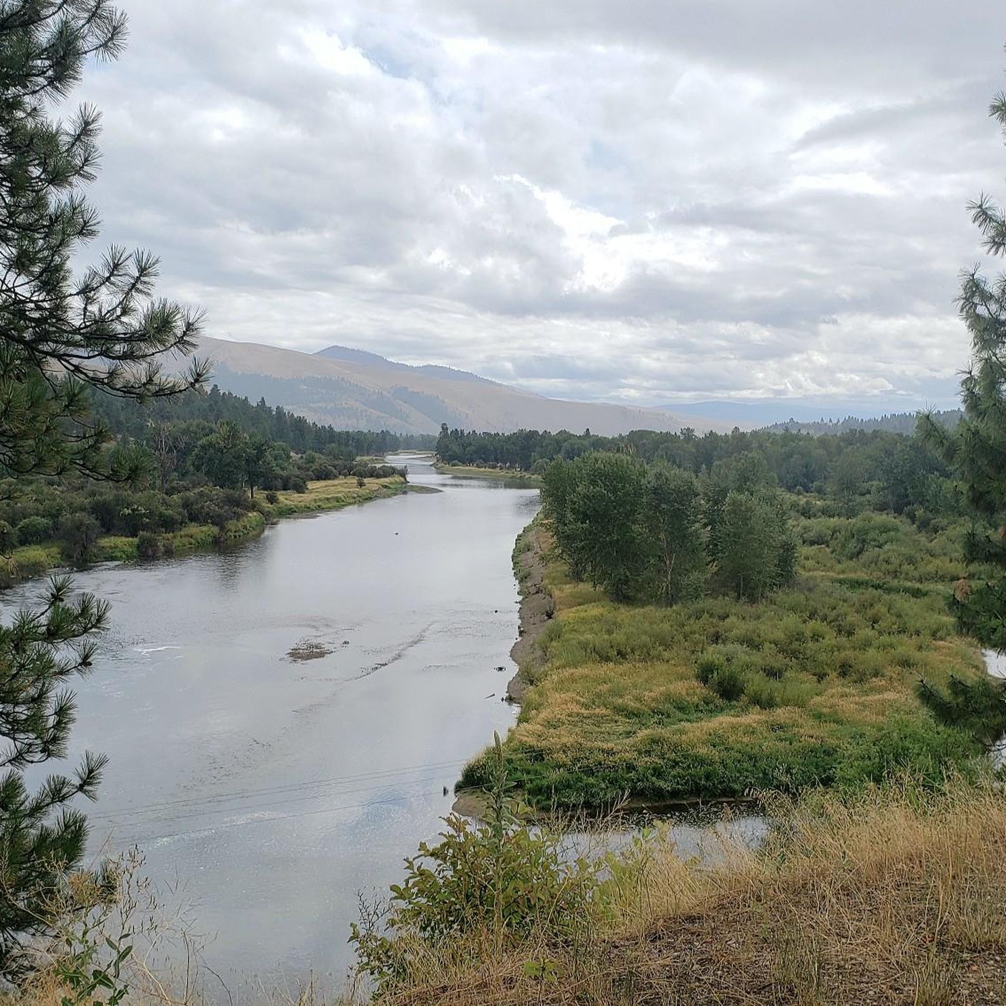
The Clark Fork is the river that runs through Missoula. The Kim Williams Trail runs parallel to its course. Many parks and walking and cycling paths border the river.
0
0
Frequently Asked Questions
What kind of terrain can I expect on running trails in Lolo?
Jogging routes around Lolo, Montana, offer a diverse range of terrain. You'll find paths winding through thick forests, across rolling meadows, and alongside river paths like the Clark Fork River. Many routes provide scenic views of the surrounding Bitterroot Range and Sapphire Mountains. The Lolo National Forest, spanning over 2 million acres, ensures a varied and dynamic backdrop for your runs.
Are there running routes in Lolo suitable for different skill levels?
Yes, Lolo offers a variety of running routes catering to all abilities. You can find several easy loops perfect for a leisurely jog, such as the Running loop from Maclay Flats, which is just under 3 km. There are also moderate trails, like the popular Clark Fork River – Kim Williams Trail loop from Orchard Homes, and more challenging options with significant elevation gain, such as the University Mountain loop from Hellgate High School.
Are there any long-distance running trails in Lolo?
For longer runs, the Bitterroot Trail is an excellent option. This paved pathway stretches for approximately 50 miles between Missoula and Hamilton, offering a relatively flat and consistent surface with panoramic views of the Bitterroot and Sapphire Mountains. Within the komoot guide, the University Mountain loop from Hellgate High School is the longest featured route, covering 18 km.
What can I see along the jogging routes in Lolo?
Many routes in Lolo offer beautiful natural scenery and points of interest. You can enjoy views of the Bitterroot River, especially along sections of the Bitterroot Trail, and take in vistas of Mount Dean Stone from various viewpoints like View of Mount Dean Stone. The trails often pass through diverse ecosystems within the Lolo National Forest, providing constantly changing scenery.
Are there dog-friendly running trails in Lolo?
Yes, many trails in the Lolo area, particularly within the vast Lolo National Forest, are dog-friendly. It's always recommended to keep your dog on a leash and practice Leave No Trace principles to ensure a pleasant experience for everyone and protect the local wildlife. Specific regulations may vary by area, so checking local signage is advisable.
Are there any family-friendly running routes in Lolo?
Absolutely. For families looking for an enjoyable run, trails with minimal elevation gain and well-maintained surfaces are ideal. The Running loop from Orchard Homes is an easy, short option. Additionally, Travelers' Rest State Park near Lolo offers idyllic walking trails through open meadows, providing a peaceful and accessible environment for a family jog.
What is the best time of year for jogging in Lolo, Montana?
Lolo offers great running opportunities throughout much of the year. The warmer months, from late spring through early fall, are generally ideal for accessing the full network of trails, including those at higher elevations like Lolo Pass. During winter, some trails may be covered in snow, making them more suitable for snowshoeing or cross-country skiing, but lower elevation paths often remain accessible for year-round jogging.
Are there any loop running trails in Lolo?
Yes, several excellent loop running trails are available. Popular options include the Clark Fork River – Kim Williams Trail loop from Orchard Homes and the Clark Fork River – Kim Williams Trail loop from 39th St & Russell, both offering scenic river views. For a more challenging loop, consider the University Mountain loop from Hellgate High School.
Where can I find parking for running trails in Lolo?
Parking availability varies by trail. For routes along the Clark Fork River, you can often find parking near access points in areas like Orchard Homes or near 39th St & Russell. For trails within the Lolo National Forest or at specific recreation areas like Blue Mountain, designated parking lots are typically available. It's always a good idea to check specific trailheads for parking information before you go.
Are there any historical trails in the Lolo area that are suitable for jogging?
Yes, the Lolo region is rich in history. Parts of the Lewis & Clark National Historic Trail and the Nez Perce National Historic Trail pass through the area. These trails not only offer recreational opportunities for jogging but also provide a unique chance to connect with significant historical routes and experience the landscape as early explorers and indigenous peoples did.
What are some lesser-known or 'hidden gem' running trails in Lolo?
While the main river trails are popular, exploring areas within the vast Lolo National Forest can reveal quieter paths. Trails around Lolo Pass, particularly during warmer months, offer abundant opportunities away from more crowded areas. The Blue Mountain Recreation Area also provides accessible trails that might offer a more secluded experience compared to the paved Bitterroot Trail.
Most popular attractions around Lolo

Get inspired with the komoot mobile app


Explore more
Browse the best Running Trails & Routes in other regions.
