The 14 Most Amazing Peaks around Caravonica
Best mountain peaks around Caravonica, a suburb of Cairns in Queensland, Australia, is situated inland against the Great Dividing Range. The area offers access to several notable mountain peaks in the broader Cairns region. While there are no specific named peaks directly within Caravonica, the surrounding landscape provides impressive mountains popular for hiking. These mountains offer diverse experiences for nature enthusiasts looking to explore the region's elevated terrain.
Best mountain peaks around Caravonica
- The most popular mountain peaks is Pizzo…
Last updated: September 29, 2026
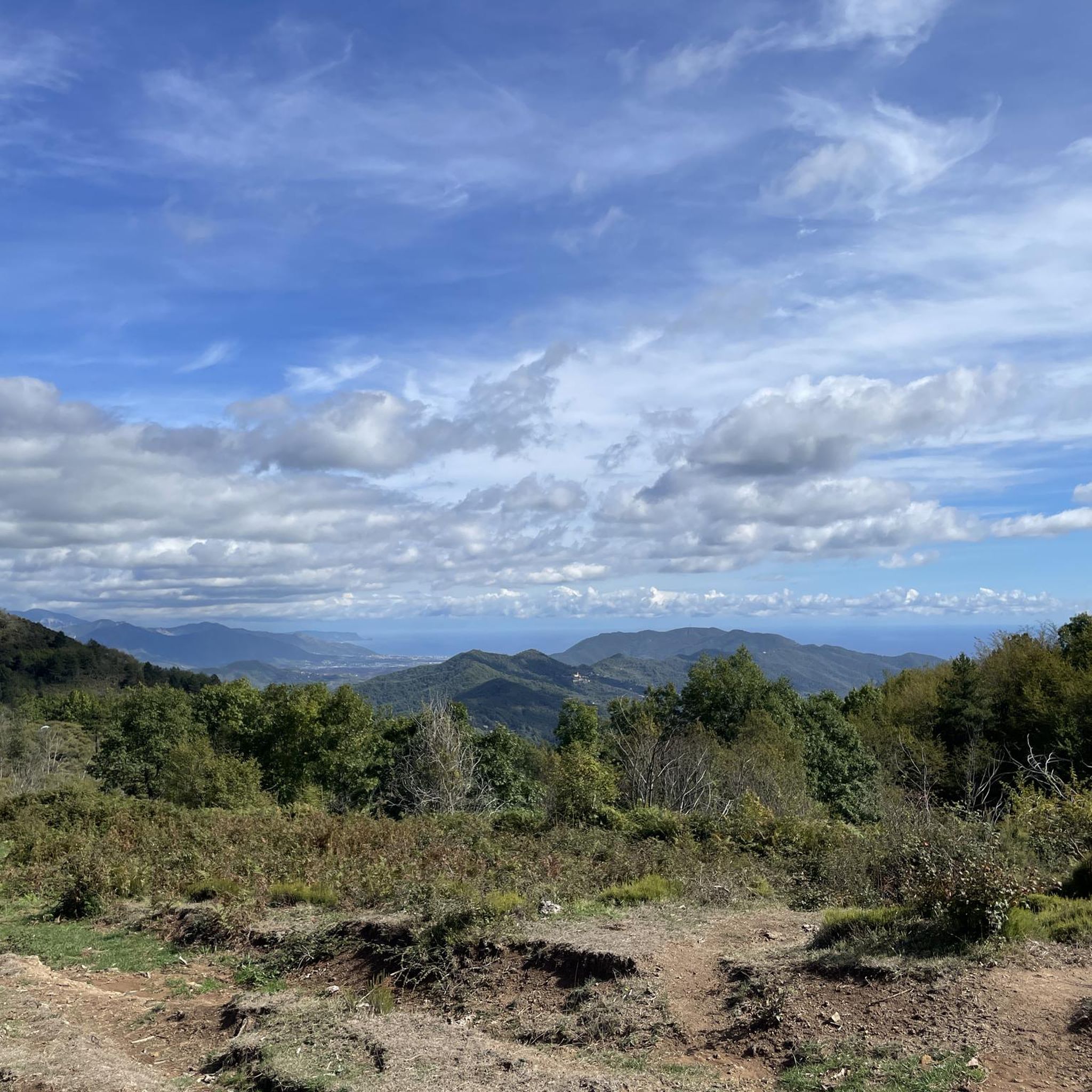
Pizzo d'Evigno Summit Cross
Highlight • Summit
Translated by Google •
Tip by

Trail to Pizzo di Evigno Summit
Highlight • Trail
Translated by Google •
Tip by

Sign up now to discover places like this
Get recommendations on the best single tracks, peaks, & plenty of other exciting outdoor places.
Monte Grande Summit
Highlight • Summit
Translated by Google •
Tip by

Monte Guardiabella Summit Cross
Highlight • Summit
Translated by Google •
Tip by

Monte Moro Summit
Highlight • Summit
Translated by Google •
Tip by

Sign up for free to discover even more peaks around Caravonica.
Already have an account?
Start today with a free account
Your next adventure awaits.

Tips from the Community

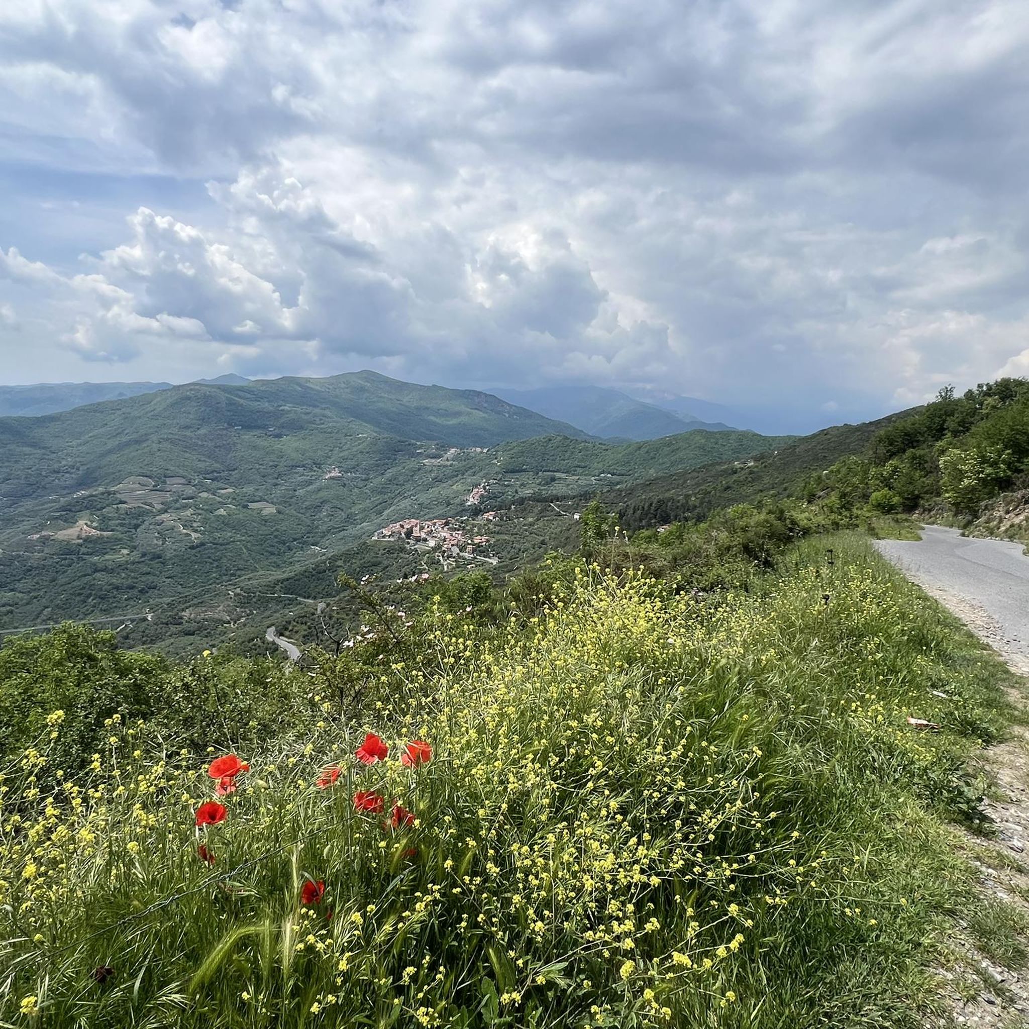
Uphill wide stony gravel road. Downhill gladly trails as shortcuts. Wonderful view and great to ride
0
0

The Guardiabella summit can be reached by footpaths or by bike from San Bernardo di Conio, or by climbing north halfway down towards Lavina. This second route would be cyclable were it not for the steepness and the severe deterioration of the forest road. However, you can reach the summit by pushing. From there, a beautiful grassy descent leads practically to Caravonica. Guardiabella owes its name to an ancient battle between the Roman and Ligurian armies during the campaign to conquer Liguria.
0
0

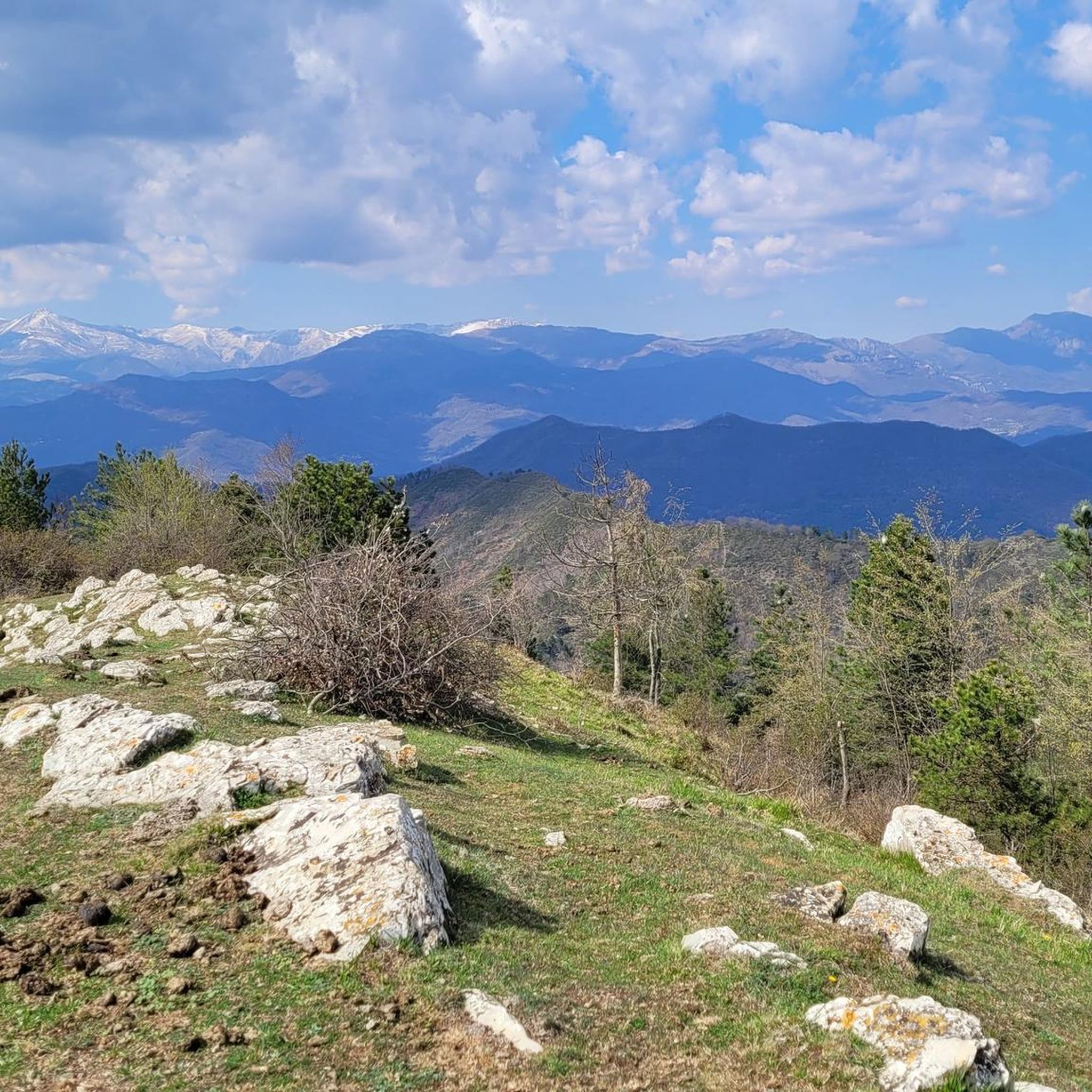
The 1,418 meters of the summit of Monte Grande allow a panoramic view of a good portion of the Ligurian Apennines. It is located between the Impero, Carpasina and Giara valleys and there is a cross and a clearing on which to rest. On September 5, 1944, Monte Grande was the scene of a great partisan victory against the German and fascist positions located on its summit.
1
0
Monte Moro is called this way because it was once the site of a fixed fortress of the Moors, the Saracens, who had placed a garrison of the territory here. You can still see the traces in the masonry of the ancient garrison. They have recently also found some crescent swords typical of the Moorish world (which then means Ottoman Empire)
1
0

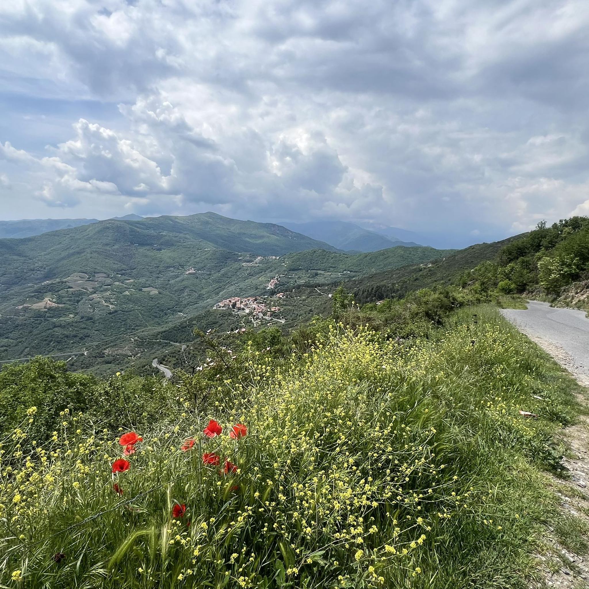
Beautiful view of the valley from here
0
0

Climb on a well pedaled dirt road
0
0
Well pedaled dirt climb with beautiful views of the sea
0
1

Beautiful dirt trail with beautiful panoramic views.
1
0
Frequently Asked Questions
What are the most notable mountain peaks accessible from Caravonica?
While Caravonica itself doesn't have named peaks directly within the suburb, the surrounding Cairns region offers several impressive mountains. Key peaks include Walsh's Pyramid, known for its distinctive shape; Mount Bartle Frere, Queensland's highest mountain; and Mount Baldy, a local favorite in the Atherton Tablelands.
Which mountain offers the most challenging climb near Caravonica?
Mount Bartle Frere is Queensland's highest mountain, standing at 1,622 meters. It offers a strenuous and challenging hike, often requiring 6-8 hours to reach the summit, with many planning it as an overnight trek. Proper planning and checking weather conditions are crucial for this ascent.
Are there any mountains with unique natural features or landmarks?
Yes, Walsh's Pyramid is a distinctive, granite pyramid-shaped mountain that rises sharply to 922 meters. It's an iconic landmark in the region, offering impressive 360-degree views from its summit across the Wooroonooran National Park.
What kind of views can I expect from the mountain peaks in the Cairns region?
The mountain peaks around Cairns offer diverse and stunning views. From Walsh's Pyramid, you can enjoy impressive 360-degree panoramas across the Wooroonooran National Park. Mount Baldy provides quick views of the Tinaroo Dam from its summit, while Mount Bartle Frere, being Queensland's highest, offers expansive vistas over the World Heritage-listed Wet Tropics rainforest.
What should I know about hiking Mount Bartle Frere?
Hiking Mount Bartle Frere is a significant undertaking. It's a strenuous climb within the Wet Tropics rainforest, taking 6-8 hours to the summit. Essential preparations include checking weather conditions, carrying salt for leeches, insect repellent, and considering an overnight stay at the top. Josephine Falls, at the base, offers a refreshing spot to cool off after your trek.
Are there any mountain peaks suitable for mountain biking near Caravonica?
Yes, the area around Mount Baldy in the Atherton Tablelands is known for excellent trails suitable for mountain biking, in addition to hiking. It's a great option for those who prefer two wheels over hiking.
What is the best time to hike the mountain peaks in the Cairns region?
It is generally advisable to start hikes, especially challenging ones like Walsh's Pyramid, early in the day to avoid the intense heat. The region's tropical climate means cooler, drier months (typically May to October) might be more comfortable for longer treks, but always check local weather conditions before heading out.
Are there any historical sites or unique events associated with these mountains?
While not a historical site in the traditional sense, Walsh's Pyramid is famous for hosting an annual 'Great Pyramid Race,' where participants run from Gordonvale up the mountain. This event adds a unique cultural and adventurous element to the peak's history.
What kind of wildlife or natural environment can I expect on these mountain trails?
When hiking peaks like Mount Bartle Frere, you'll be immersed in the World Heritage-listed Wet Tropics rainforest, a highly biodiverse environment. This means encountering lush vegetation, unique flora, and potentially various rainforest creatures. Be prepared for leeches and insects, especially in the wetter seasons.
Are there any loop walks available for mountain trails near Caravonica?
Yes, in the Mount Baldy area, you can find the 8.5 km Baldy-Yabi circuit walk, which traverses two mountains. This offers a great option for a varied loop experience, or you can choose separate return walks to each summit.
What are some general tips for hiking mountain peaks in the Cairns region?
Always plan your hike, check weather conditions, and carry sufficient water, sun protection, and appropriate gear. For rainforest trails, insect repellent and salt (for leeches) are recommended. Starting early in the day helps avoid the heat, and informing someone of your plans is always a good safety measure.
Most popular attractions around Caravonica

Get inspired with the komoot mobile app


Explore more
See even more amazing summits around Caravonica with these guides:
