The best mountain hikes around Zumikon
5.0
(3)
21
hikers
2
hikes
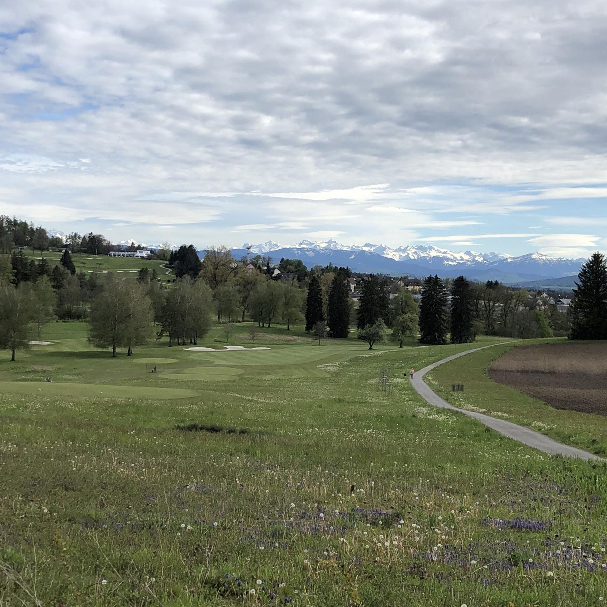
Mountaineering routes around Zumikon are set within the Pfannenstiel region, characterized by elevated terrain, significant forest cover, and panoramic views of the distant Swiss Alps. The area features extensive networks of trails that traverse picturesque hill ranges and deep ravines. These routes often include notable elevation changes, providing a physical challenge and a sense of being amidst mountainous environments. The landscape is further defined by streams, such as those found in the Meilen Tobel and Küsnachter Tobel, offering diverse natural…
Last updated: September 28, 2026
5.0
(2)
13
hikers
6.79km
02:18
370m
370m
Moderate mountaineering route. Good fitness required. Easily-accessible paths. Suitable for all skill levels.
5.0
(1)
4
hikers
Moderate mountaineering route. Good fitness required. Mostly accessible paths. Sure-footedness required.

3
hikers
Moderate mountaineering route. Good fitness required. Easily-accessible paths. Suitable for all skill levels.
1
hikers
6.29km
02:12
340m
340m
Moderate mountaineering route. Good fitness required. Mostly accessible paths. Sure-footedness required.
Our route recommendations are based on thousands of hikes, rides, and runs completed by other people on komoot.
Start today with a free account
Your next adventure awaits.
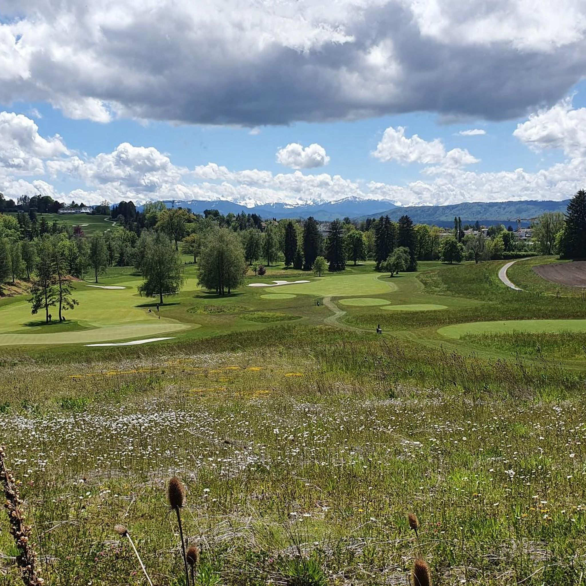

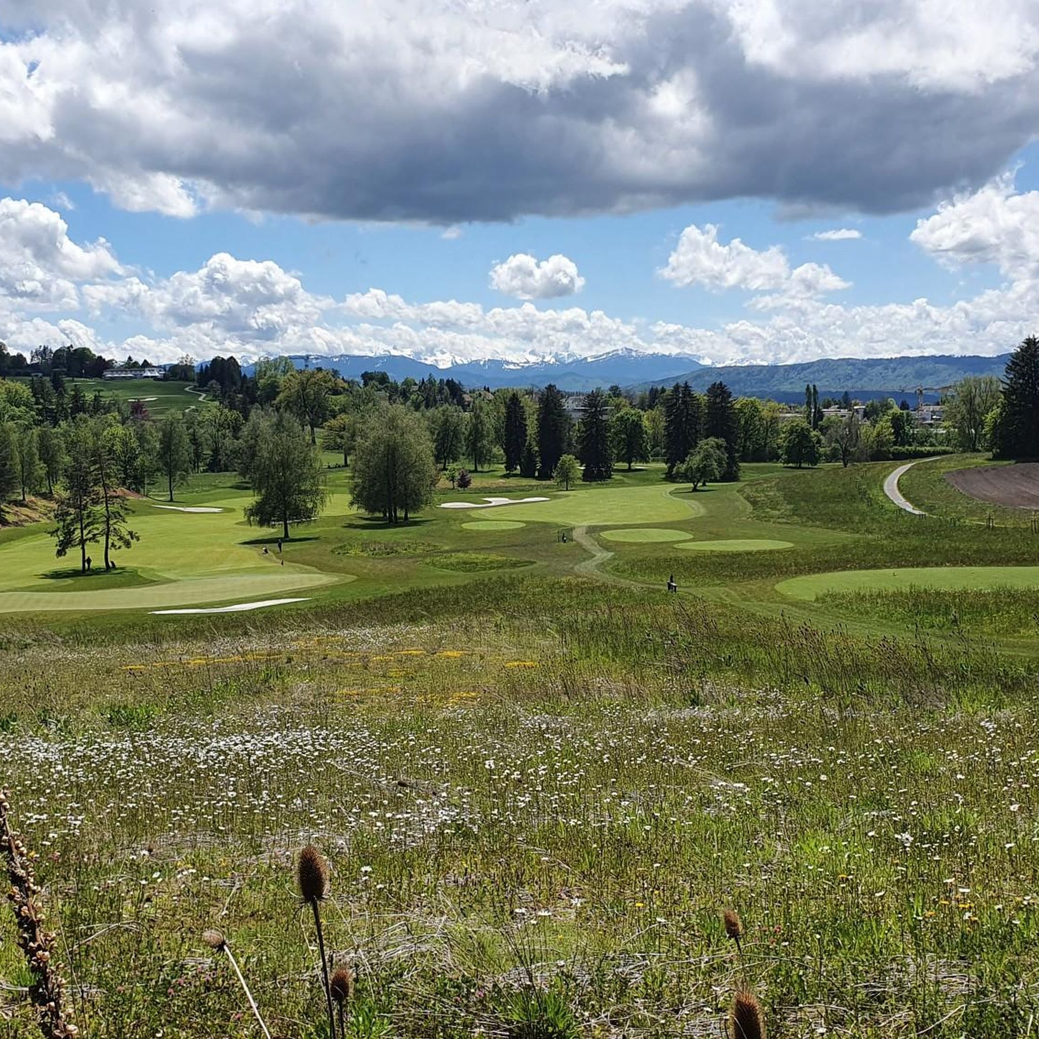
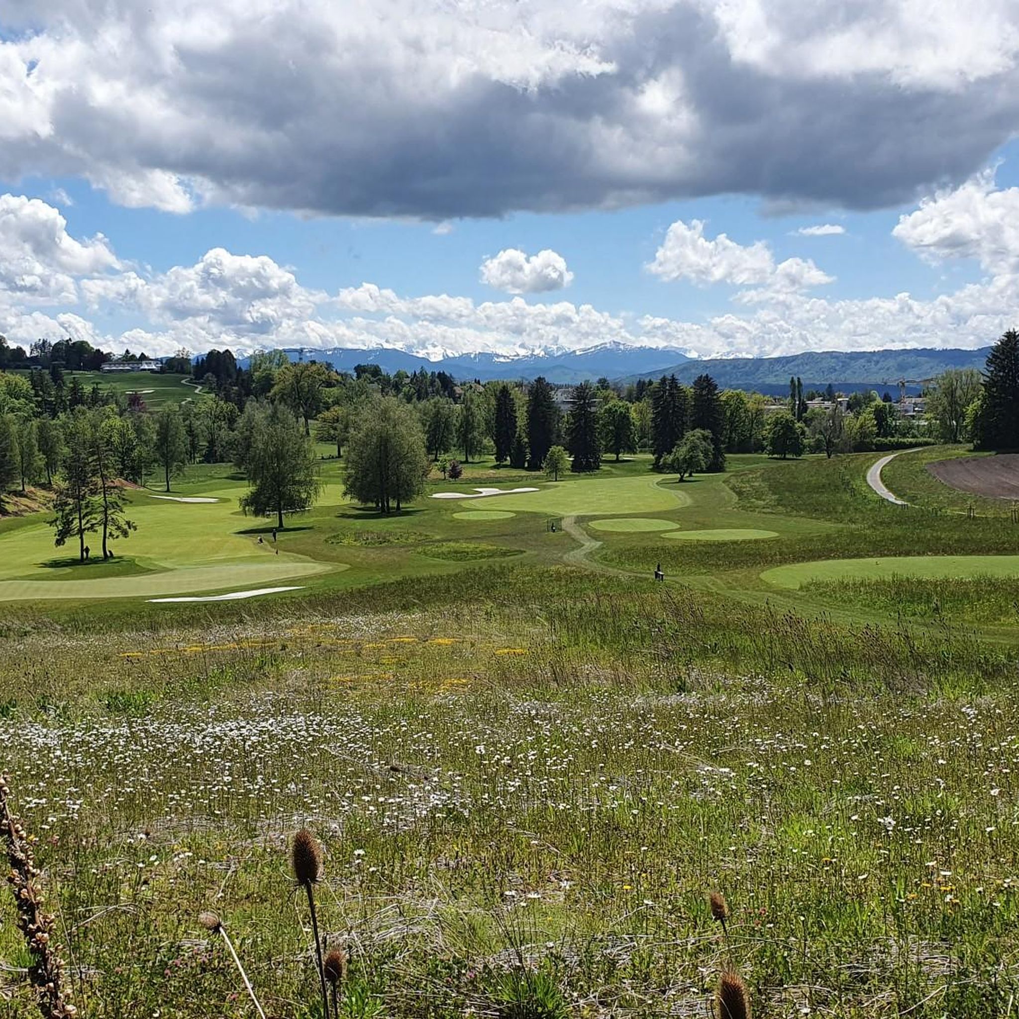
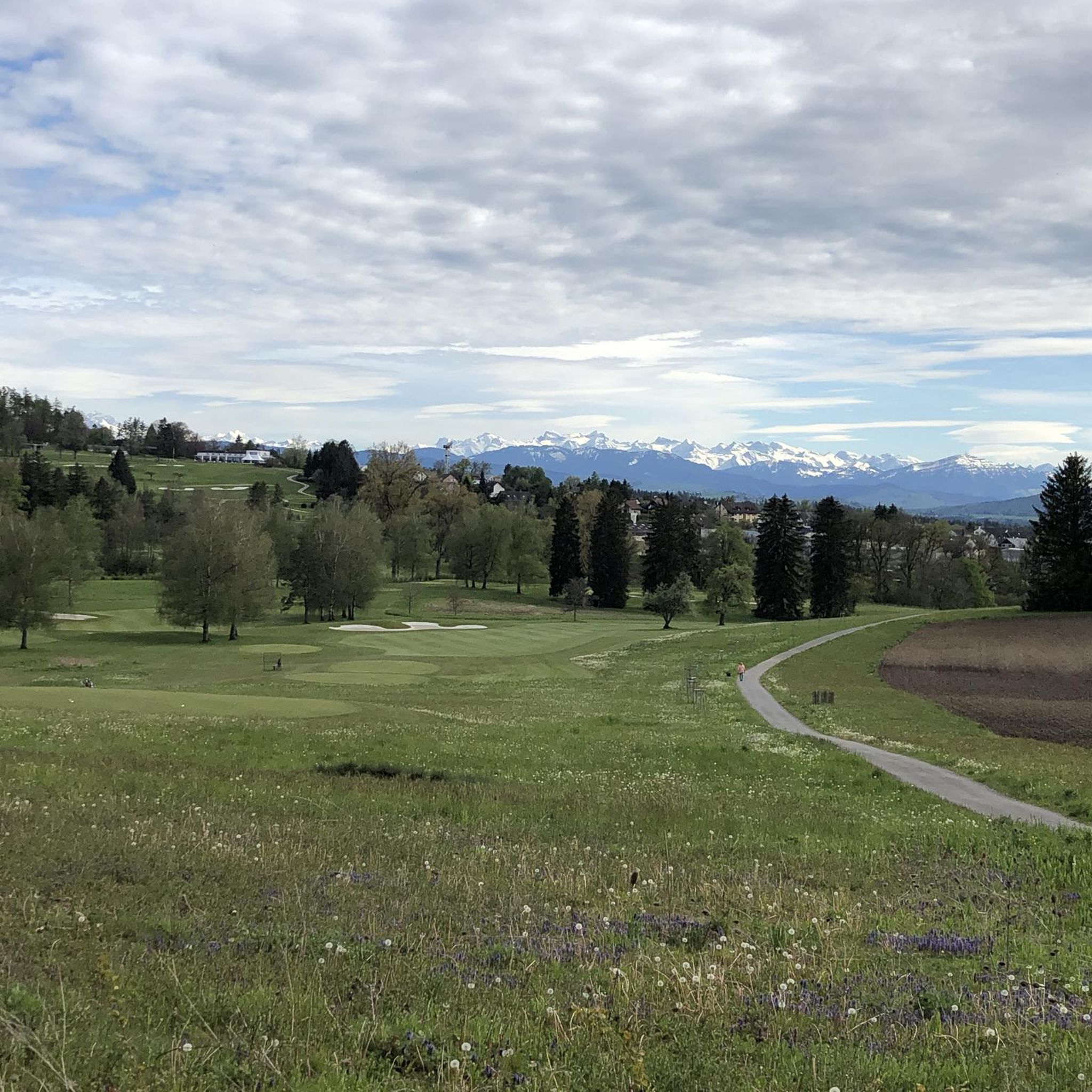
Tips from the Community

Very nice place to take a break
0
0

There are two pre-installed BBQ spots with grill fire pits, some tables and a fresh water fountain next to the playground.
0
0

Wonderful place for a break
0
0
Attention: Cycle route 94 is closed here due to construction work from 27.04.2026 - 02.11.2026 (at least partial sections) and is diverted from Sihlwald station to Alter Bahnhof Sihlbrugg via Sihltalstrasse (signposted on site). See Schweiz Mobil info.
0
0

Looks more like a cemetery. But there used to be tables and benches.
0
0

The Albishorn is one of the most beautiful viewpoints on the Albis ridge. At 909 meters, it offers sweeping views of Lake Zurich, the mountains of Central Switzerland, and the Reppisch Valley. The ascent is easy to moderate and leads mostly through forest before opening up to a summit with panoramic views. It's ideal for a short, enjoyable hike – often combined with a visit to Hochwacht or Felsenegg.
8
0


Beautiful ride along the Sihl, quiet
0
1
Frequently Asked Questions
What kind of terrain can I expect on mountaineering routes around Zumikon?
The mountaineering routes around Zumikon are set within the Pfannenstiel region, characterized by elevated terrain and significant forest cover. You'll find a mix of well-marked paths, from wide dirt trails to narrower routes with stairs in ravines. Expect notable elevation changes, providing a rewarding physical challenge amidst picturesque hill ranges and deep ravines.
Are there any circular mountaineering routes available near Zumikon?
Yes, several routes around Zumikon are designed as loops. For instance, the Uetliberg Viewing Terrace – Uetliberg loop from Zürich Triemli offers a moderate ascent to the Uetliberg viewing terrace and returns to the starting point. Another option is the Uetliberg Transmission Tower – Uetliberg Summit Viewpoint loop from Wiedikon, which provides views from the Uetliberg summit and transmission tower.
What natural features or viewpoints can I discover along these routes?
The region boasts spectacular natural features. You can ascend the 35-meter tall wooden Pfannenstiel Lookout Tower for panoramic views of Lake Zurich, the countryside, and the distant Swiss Alps. Routes also lead through forested ravines like the Meilen Tobel and Küsnachter Tobel, where you'll find streams, boulders, and impressive waterfalls. The Küsnacht Gorge Waterfalls are a notable highlight.
Are there any waterfalls to see on the mountaineering trails?
Yes, the region around Zumikon features several beautiful waterfalls. The trails leading through the Küsnachter Tobel are particularly known for their impressive cascades, such as the Küsnacht Gorge Waterfalls. You can also find streams and smaller waterfalls within the Meilen Tobel and Werenbachtobel gorges.
How can I access the mountaineering routes around Zumikon using public transport?
Many routes are accessible via public transport. For example, the Uetliberg Viewing Terrace – Uetliberg loop starts from Zürich Triemli, which is well-connected by public transport. Similarly, the Uetliberg Transmission Tower – Uetliberg Summit Viewpoint loop begins near Wiedikon, also easily reachable by public transport. It's advisable to check local transport schedules for specific starting points.
Are there any family-friendly mountaineering routes in the Zumikon area?
While the routes are generally described as mountaineering with notable elevation changes, some sections of the Pfannenstiel region offer varying terrain suitable for different fitness levels. For families, look for trails that are wider and less steep, especially those traversing the ridge. The extensive network allows for shorter excursions, and areas like the Pfannenstiel Weg can be adapted for family outings, though specific 'family-friendly' designations for mountaineering routes are less common due to the sport's nature.
What do other mountaineers enjoy most about the routes around Zumikon?
The routes around Zumikon are highly rated by the komoot community, with an average score of 5.0 stars. Mountaineers often praise the panoramic views of Lake Zurich and the Alps from elevated points like the Pfannenstiel Lookout Tower, the diverse natural scenery found in the forested ravines, and the rewarding physical challenge offered by the notable elevation changes.
Are there places to eat or drink near the mountaineering trails?
Yes, there are several options for refreshments. The Uetliberg area, a popular starting point for some routes, has establishments like the Uetliberg Tea Hut and the Hohenstein Tea Hut. Additionally, the region has various forest huts, such as the Felsenkammer Hut, which can be found along or near some trails.
Can I bring my dog on the mountaineering routes around Zumikon?
The Pfannenstiel region, where Zumikon is located, generally welcomes dogs on its extensive hiking trails. The forested sections and natural landscapes provide a great environment for dogs. However, it's always recommended to keep dogs on a leash, especially in nature reserves or near livestock, and to be mindful of other hikers. Always check specific trail regulations if available.
Are there any less crowded mountaineering routes for a more tranquil experience?
While popular routes like those leading to Uetliberg can see more visitors, the Pfannenstiel region offers an extensive network of trails. To find a more tranquil experience, consider exploring the secluded forest landscapes and hidden ravines, such as the Werenbachtobel. These areas often provide a quieter hiking experience away from the main thoroughfares, allowing for peaceful immersion in nature.
What is the best time of year to go mountaineering around Zumikon?
The region is enjoyable throughout much of the year. Spring and autumn offer pleasant temperatures and vibrant scenery, with spring bringing lush greenery and autumn showcasing colorful foliage. Summer is also popular, though it can be warmer. While the area is not typically associated with technical winter mountaineering, some trails may be accessible for winter walks, but conditions can vary, and caution is advised due to potential snow or ice.
Are there any routes that explore the Sihlwald forest?
Yes, the Sihlwald Bürglen Descent – Sihl River Path in the Sihlwald loop from Sihlwald is an excellent option. This 8.2-mile (13.2 km) trail leads directly through the forested Sihlwald, offering a deep immersion in its natural environment and following the Sihl River path.
Most popular routes around Zumikon
Most popular attractions around Zumikon

Get inspired with the komoot mobile app


Explore more
Browse the best Mountain Hikes & Routes in other regions.
