The 6 Most Amazing Peaks around Emmerthal
Best mountain peaks around Emmerthal are characterized by rolling hills and elevated terrain, offering scenic views rather than towering summits. The region's highest point reaches 377 meters, providing diverse opportunities for outdoor activities. Hiking trails in Emmerthal traverse these elevated landscapes, emphasizing wide views and sunny heights over the Weser river valley. These natural features make the Emmerthal region a destination for those seeking invigorating hikes and panoramic vistas.
Best mountain peaks around Emmerthal
- The most popular mountain peaks is…
Last updated: May 10, 2026
View from the Ith Tower
Highlight • Viewpoint
Translated by Google •
Tip by

Löns Tower on Thüster Berg
Highlight • Viewpoint
A tower in honor of Hermann Löns
This tower stands at about the highest point of …
Translated by Google •
Tip by

Sign up now to discover places like this
Get recommendations on the best single tracks, peaks, & plenty of other exciting outdoor places.
Sign up for free
Loek Mountain Shelter
Highlight • Mountain Hut
Translated by Google •
Tip by

Osterkreuz on Osterberg with view of Lügde
Highlight • Religious Site
Translated by Google •
Tip by
Keuperberg Summit Shelter and Summit Book
Highlight • Mountain Hut
Translated by Google •
Tip by
Sign up for free to discover even more peaks around Emmerthal.
Sign up for free
Already have an account?
Start today with a free account
Your next adventure awaits.
Login or Signup
Popular around Emmerthal
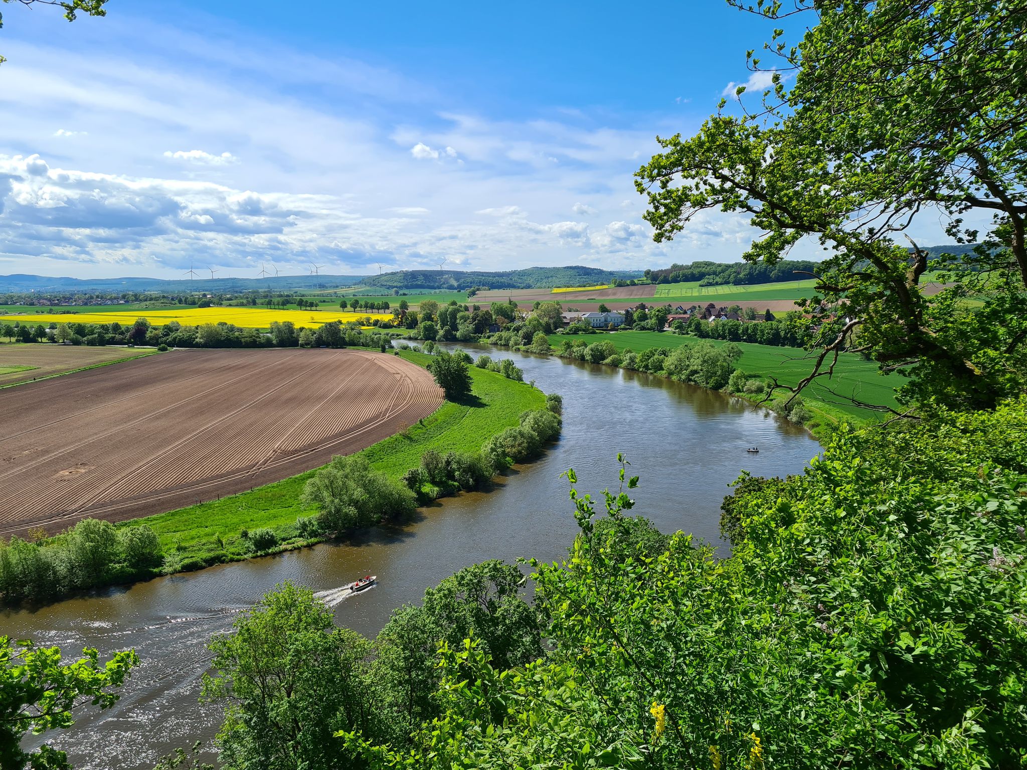
Loccum-Volkenroda pilgrim's way – From monastery to monastery
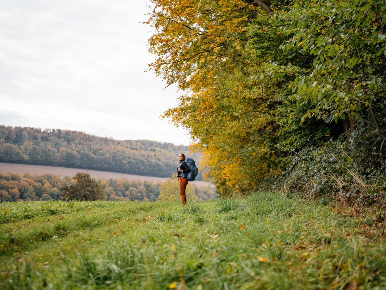
Weser Uplands Trail in autumn – out and about with Fräulein Draußen
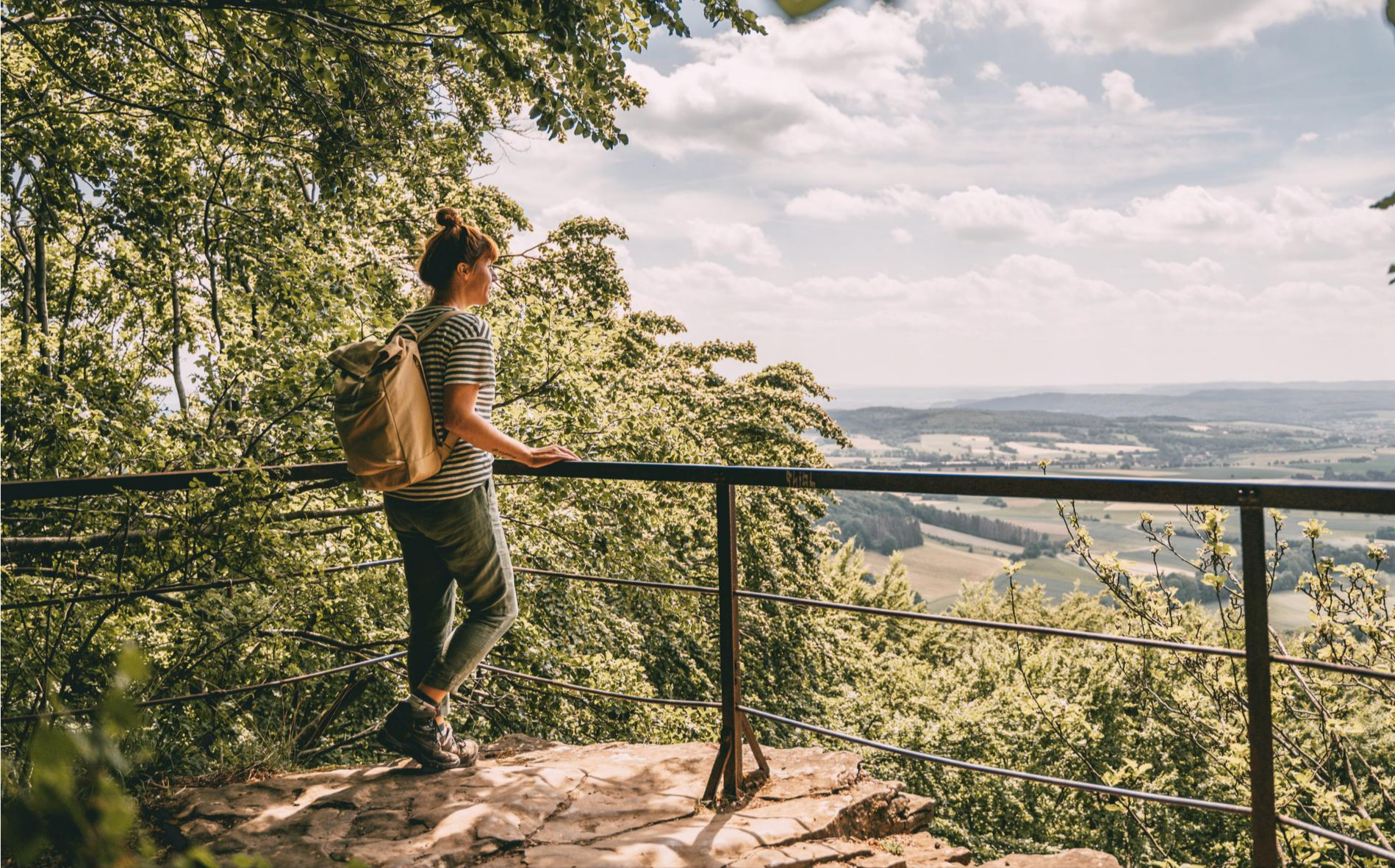
Fabulously scenic – hiking Germany’s Weserbergland Trail
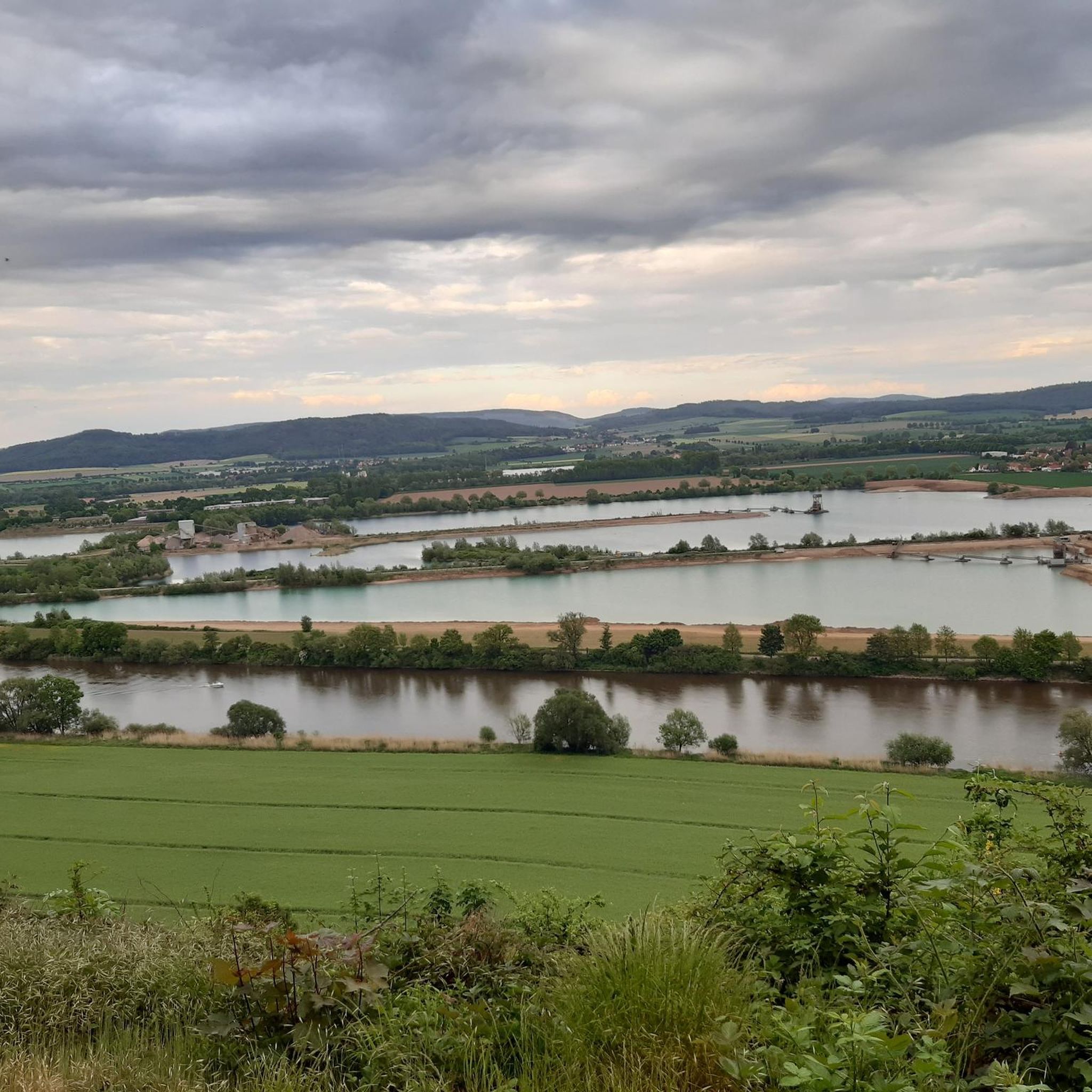
Cycling around Emmerthal
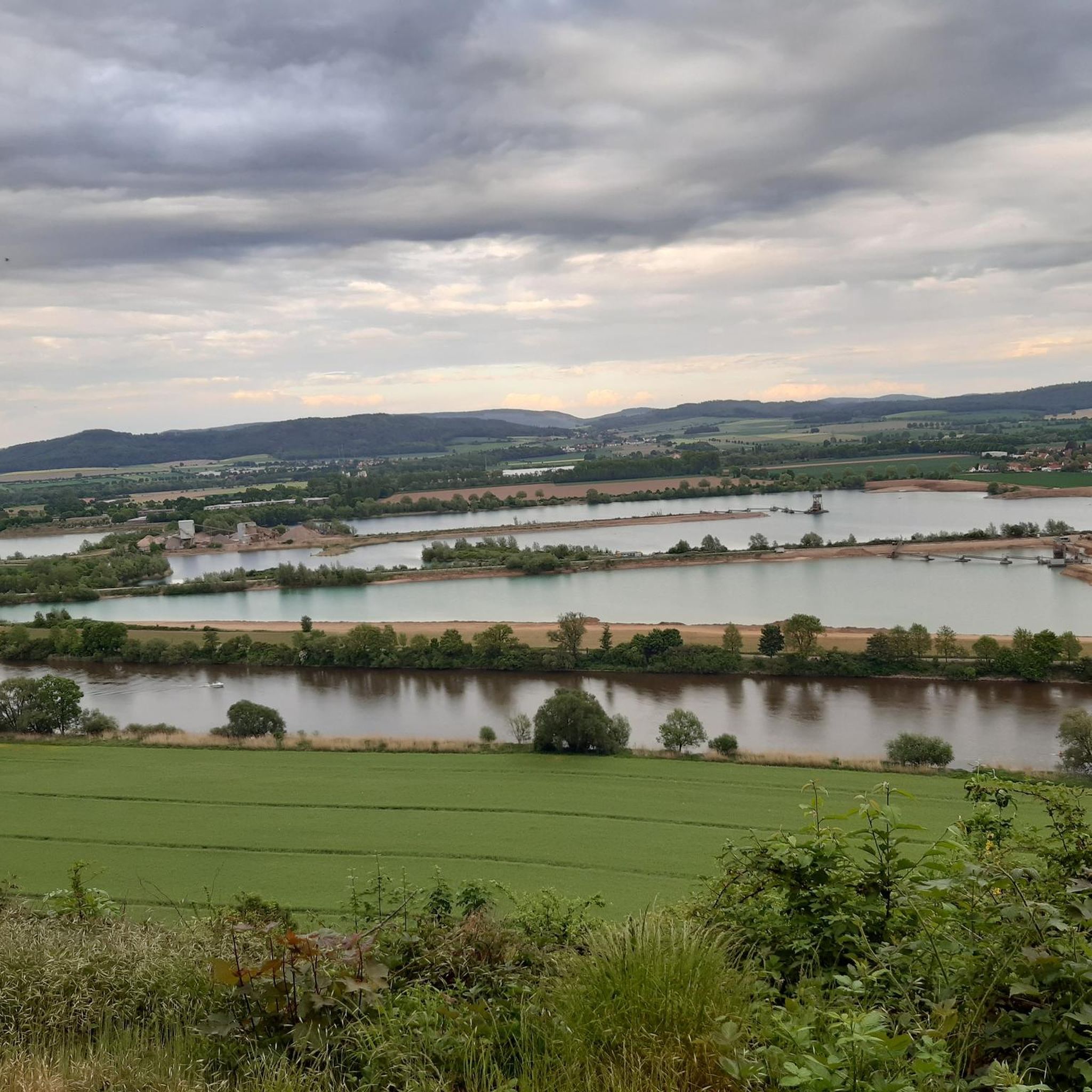
Hiking around Emmerthal
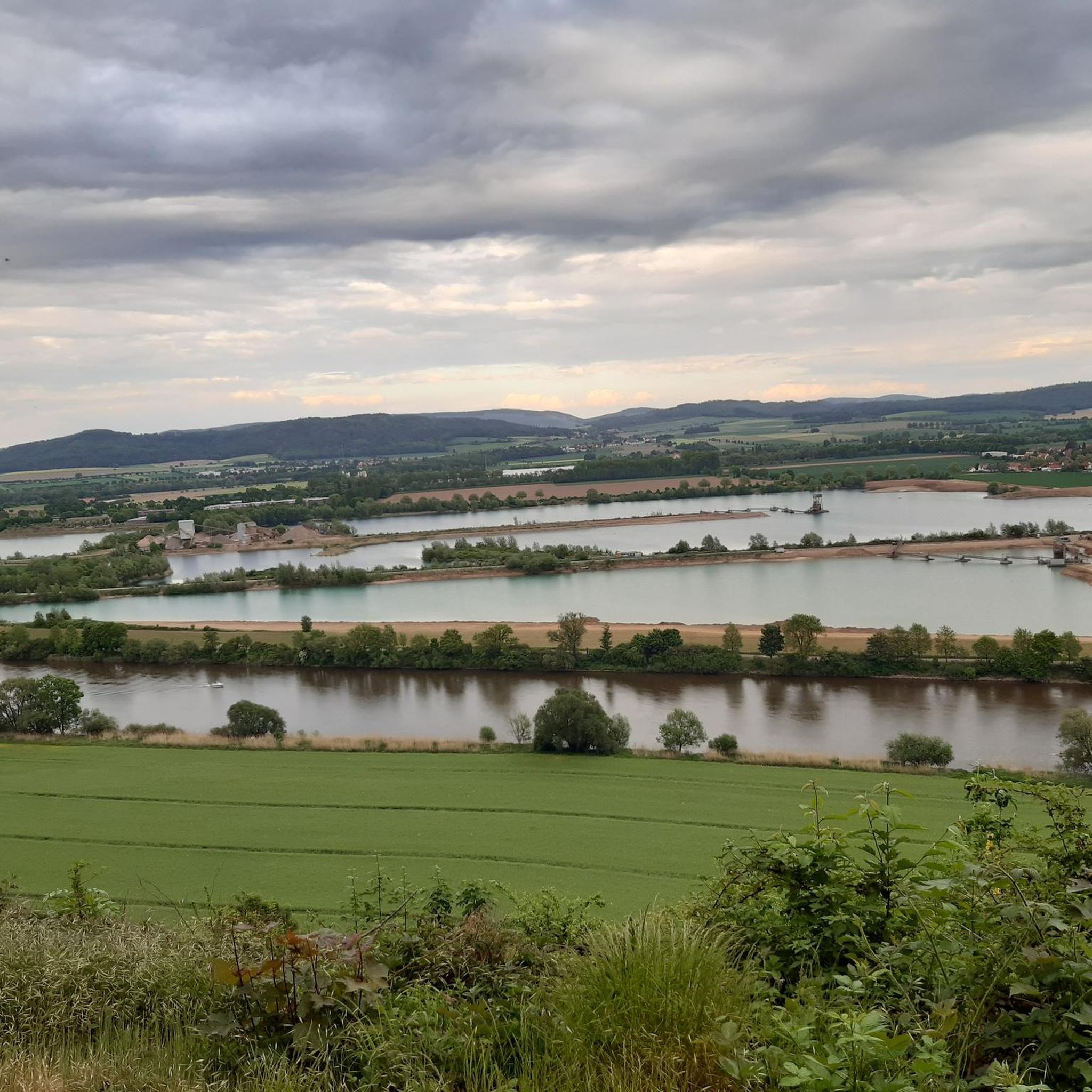
Road Cycling Routes around Emmerthal
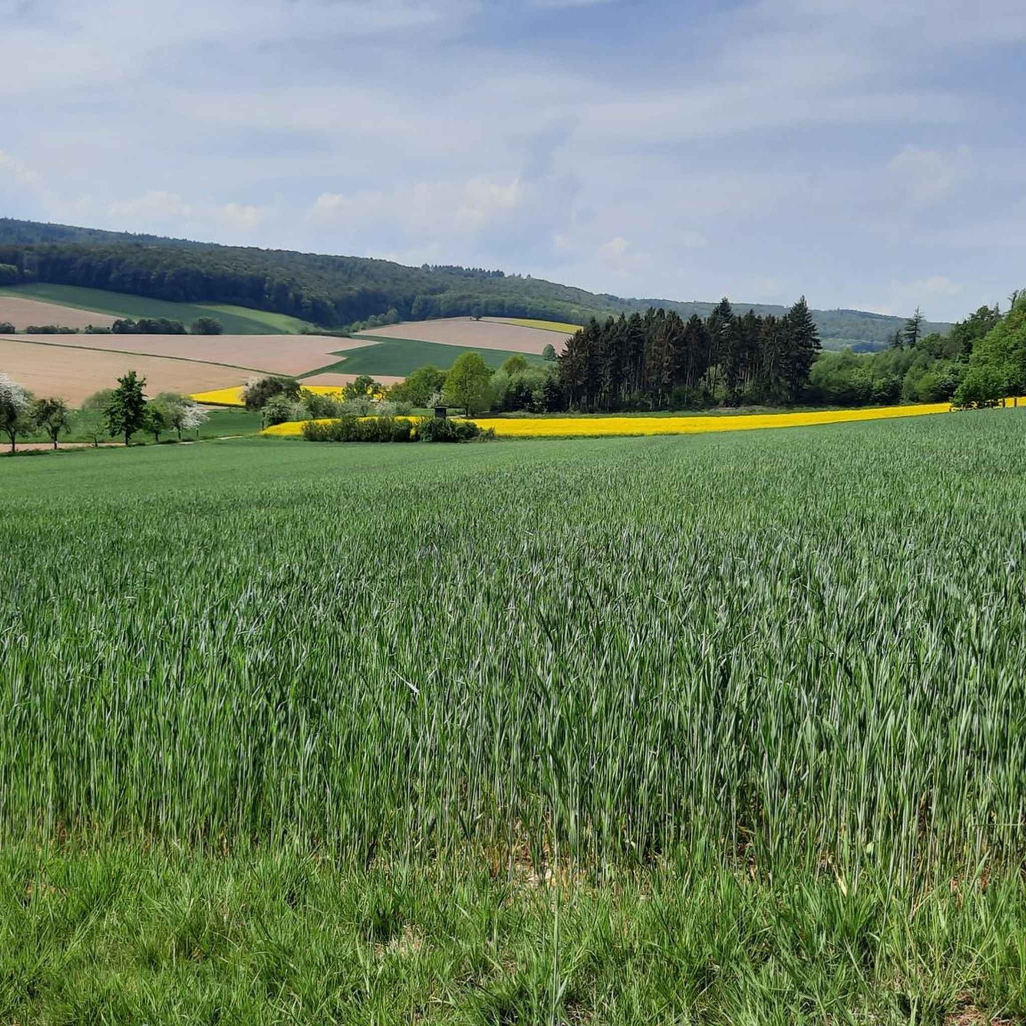
MTB Trails around Emmerthal
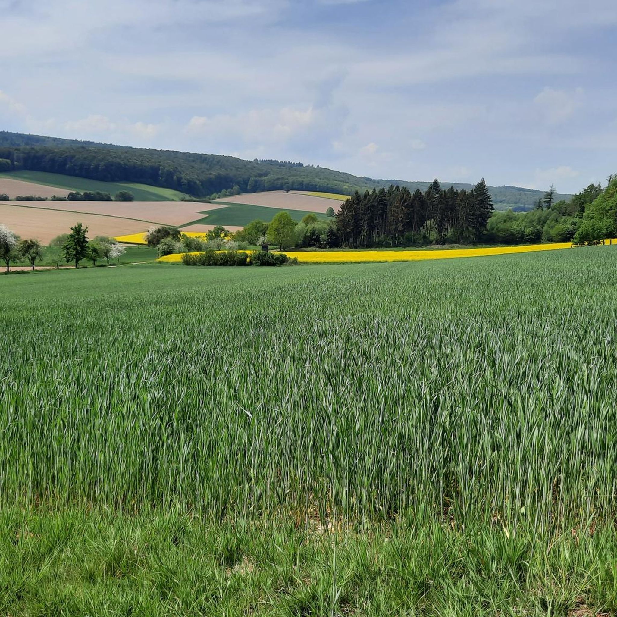
Running Trails around Emmerthal
Gravel biking around Emmerthal
Other adventures around Emmerthal


Tips from the Community

Although the view from the shelter isn't great (you can just make out Lake Schieder through the sparse spruce trees), there's even a summit register inside – a nice touch! And in front of the shelter is a particularly well-restored boundary stone!
0
0

Good opportunity to sign the summit book during a rest in the hut
0
0

shelter with summit book and boundary stones
0
0
Chill for a bit and then move on. The Mythenweg is worth it (note: currently closed)...open again 04/25
0
0

Stable, spacious, with trash can and summit book
0
0

View is ok around the cabin. Hut is getting a bit old
4
0

Osterkreuz above Lügde with a view of Lügde and the old town centre.
0
0
Frequently Asked Questions
What kind of elevated areas can I explore around Emmerthal?
Emmerthal is characterized by rolling hills and elevated terrain, offering scenic views rather than towering mountain peaks. The region's highest point reaches 377 meters, providing diverse opportunities for outdoor activities. You'll find areas like the Weserhöhen (Weser Heights) which offer wide views and sunny spots, perfect for hikers seeking panoramic vistas over the Weserbergland.
Where can I find the best panoramic views near Emmerthal?
For breathtaking panoramic views, consider visiting the View from the Ith Tower, which is freely accessible and offers expansive vistas from the highest point of the Ith. Another excellent spot is the Löns Tower on Thüster Berg, providing a 360-degree view that can extend to distant landmarks like the Brocken on clear days. The Osterkreuz on Osterberg with view of Lügde also offers a great view of Lügde, complete with information boards about its history.
Are there historical sites or landmarks on the elevated areas around Emmerthal?
Yes, several elevated areas feature historical significance. The Osterkreuz on Osterberg with view of Lügde is a religious building and viewpoint with information boards detailing its history and the traditional Easter wheel run. Additionally, the View from Schnippkopf with historic boundary stones marks a mountain height with historical boundary stones from the state border between the Kingdom of Hanover and the Duchy of Brunswick.
What kind of hiking trails are available near Emmerthal's elevated areas?
Emmerthal offers a variety of hiking trails that traverse its elevated landscapes. These trails often emphasize wide views and sunny heights. For example, the Weserhöhen area features medium-difficulty hiking tours. While not entirely within Emmerthal, sections of the 'Great Pyrmonter Mountain Route' also offer experiences of the elevated terrain. You can find many options for different skill levels, from easy to challenging.
Are there family-friendly options for exploring the elevated areas around Emmerthal?
Yes, there are family-friendly options. The Löns Tower on Thüster Berg and the Osterkreuz on Osterberg with view of Lügde are both noted as family-friendly highlights, offering accessible viewpoints and interesting features for all ages. The general nature of Emmerthal's rolling hills makes many trails suitable for families looking for scenic walks.
What outdoor activities can I do near these elevated areas besides hiking?
Beyond hiking, the region around Emmerthal is excellent for various cycling activities. You can explore numerous routes for road cycling, mountain biking, and gravel biking. For road cycling, consider routes like the 'Hämelschenburg Castle – Blue Bridge Hehlen loop from Emmerthal'. Mountain bikers can enjoy trails such as the 'Klütturm Observation Tower – View over Hamelin from the Klüt loop from Emmerthal'. Gravel biking options include the 'View of the River Weser – Weser Cycle Path loop from Emmerthal'. You can find more details on these activities in the Road Cycling Routes around Emmerthal, MTB Trails around Emmerthal, and Gravel biking around Emmerthal guides.
Is there a place to rest or take shelter on the trails?
Yes, some elevated spots offer facilities for rest. For instance, the View from the Ith Tower has several picnic tables and a shelter. The Keuperberg Summit Shelter and Summit Book provides a refuge where diligent hikers and bikers can even sign a summit book.
What is the best time of year to visit Emmerthal for hiking and views?
The elevated areas around Emmerthal are enjoyable throughout much of the year. Spring and autumn offer pleasant temperatures and vibrant scenery, while summer provides sunny spots and clear views. The appeal of 'wide views and sunny heights' suggests that good weather enhances the experience, making clear days ideal for panoramic vistas.
What do visitors enjoy most about the elevated areas around Emmerthal?
Visitors particularly enjoy the expansive and panoramic views offered from various elevated points. The opportunity to see distant landmarks on clear days, the historical elements like boundary stones and the Osterkreuz, and the overall natural beauty of the rolling hills are highly appreciated. The community has contributed over 1300 upvotes and 1100 photos, highlighting the scenic appeal and diverse experiences available.
Are there any unique natural features to look out for?
While Emmerthal doesn't have towering peaks, its elevated terrain provides unique natural features like the Weserhöhen, which are known for their wide views and sunny spots. The region's topography, with its highest point at 377 meters, creates varied landscapes for exploration. You'll find dense forests and open areas that offer diverse natural beauty.
Can I find information about the history of specific viewpoints?
Yes, for some viewpoints, historical information is readily available. For example, the Osterkreuz on Osterberg with view of Lügde features information boards that provide details about its history and the local traditions associated with it, such as the Easter wheel run.
Most popular routes around Emmerthal
Most popular attractions around Emmerthal

Get inspired with the komoot mobile app


Explore more
See even more amazing summits around Emmerthal with these guides:
