The best mountain hikes around Gratwein-Straßengel
88
hikers
6
hikes
Mountaineering routes Gratwein-Straßengel offer diverse terrain within the Styrian landscape, characterized by forested hills, prominent peaks, and alpine pastures. The region provides opportunities for ascents to summits like Schartnerkogel and Speikkogel, often featuring rocky sections and panoramic views. These routes navigate through varied elevations, from lower valleys to higher mountain huts. The area's geology supports a mix of challenging climbs and more moderate paths through woodlands.
Best mountaineering routes around Gratwein-Straßengel
- The most popular mountaineering route is Schartnerkogel – Gamskogel…
Last updated: July 6, 2026
19
hikers
9.73km
03:39
570m
580m
Moderate mountaineering route. Good fitness required. Mostly accessible paths. Sure-footedness required.
7
hikers
16km
06:53
1,120m
1,120m
Hard mountaineering route. Very good fitness required. Mostly accessible paths. Sure-footedness required.

Sign up for free
2
hikers
7.94km
02:39
310m
310m
Moderate mountaineering route. Good fitness required. Mostly accessible paths. Sure-footedness required.
6
hikers
9.49km
03:40
490m
490m
Moderate mountaineering route. Good fitness required. Mostly accessible paths. Sure-footedness required.
5
hikers
16.4km
05:58
1,000m
1,000m
Hard mountaineering route. Very good fitness required. Mostly accessible paths. Sure-footedness required.
Our route recommendations are based on thousands of hikes, rides, and runs completed by other people on komoot.
Start today with a free account
Your next adventure awaits.
Login or Signup
Popular around Gratwein-Straßengel
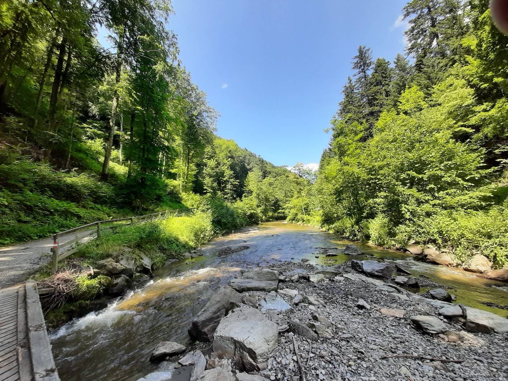
The Styrian Wine Country Cycle Trail – exploring Austria's wine culture
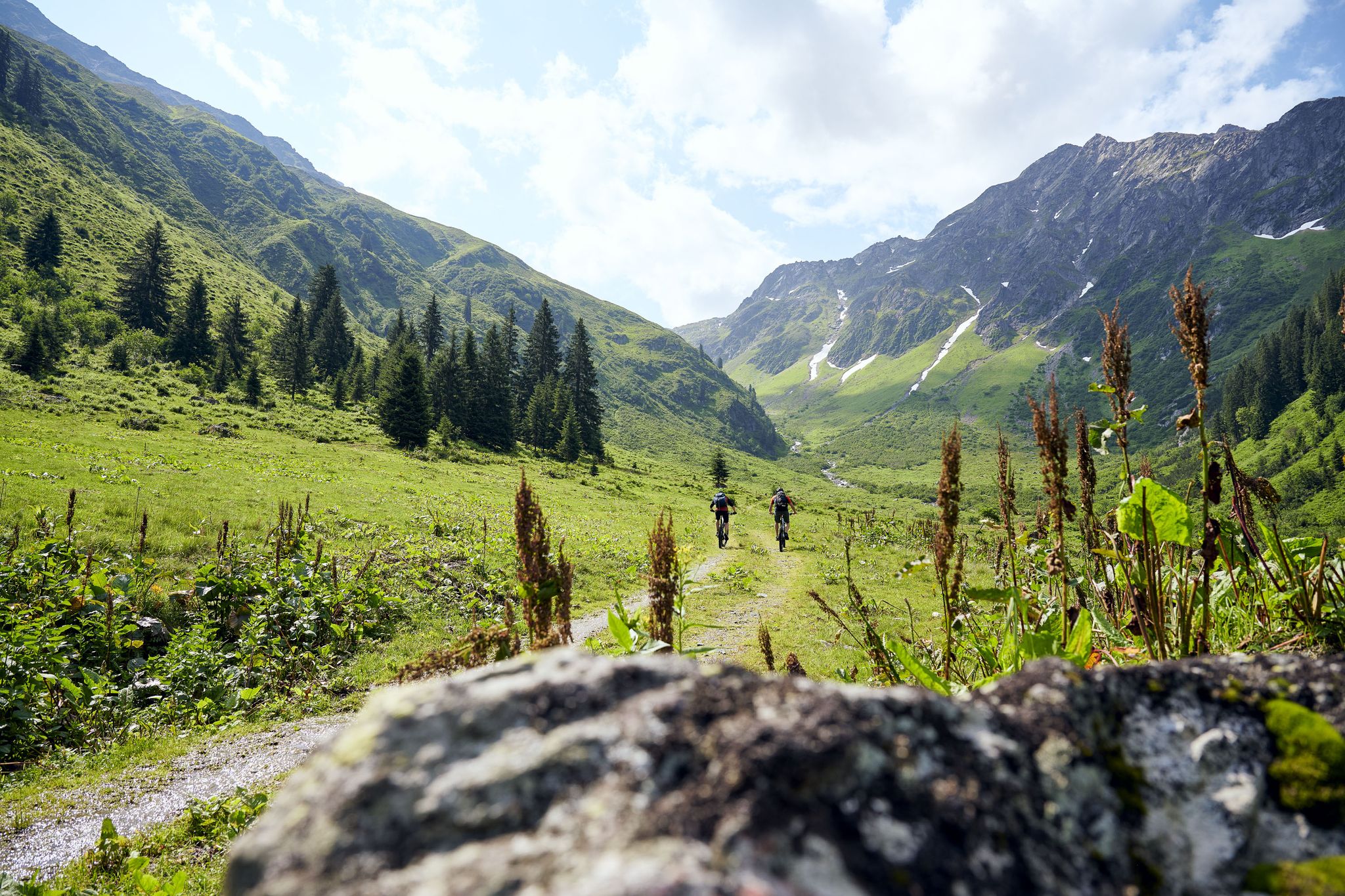
Mountain bike jewels in Austria
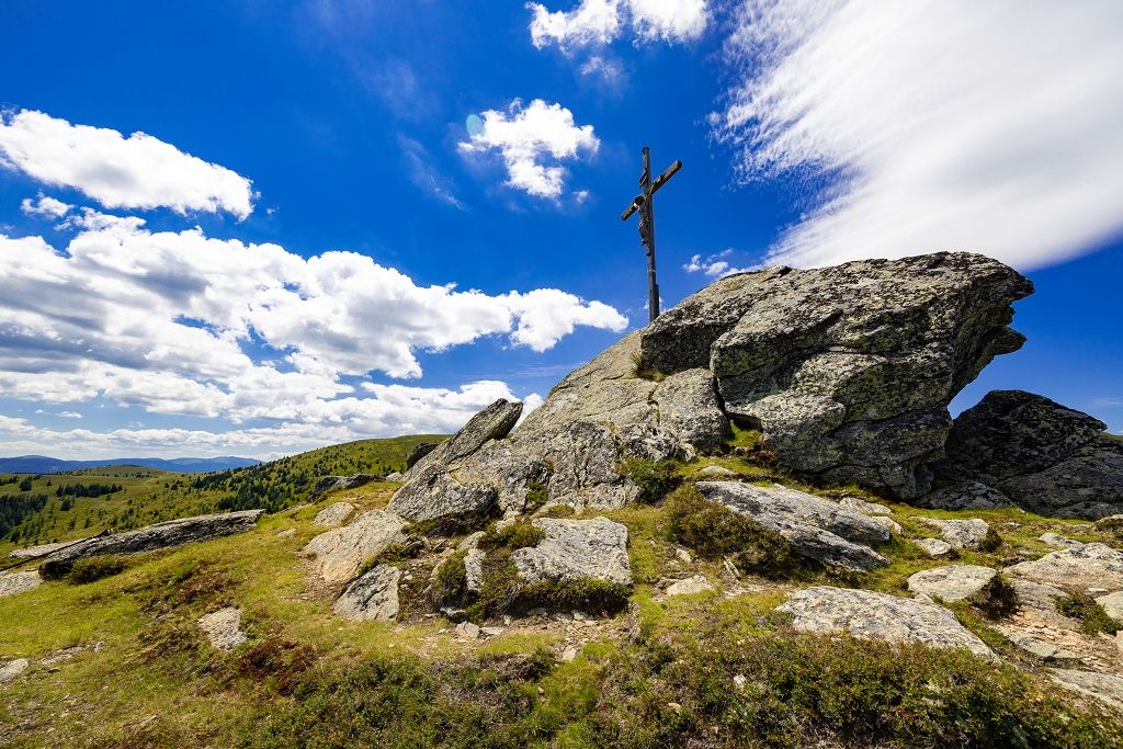
From the city to the countryside in ten minutes – hiking around Graz
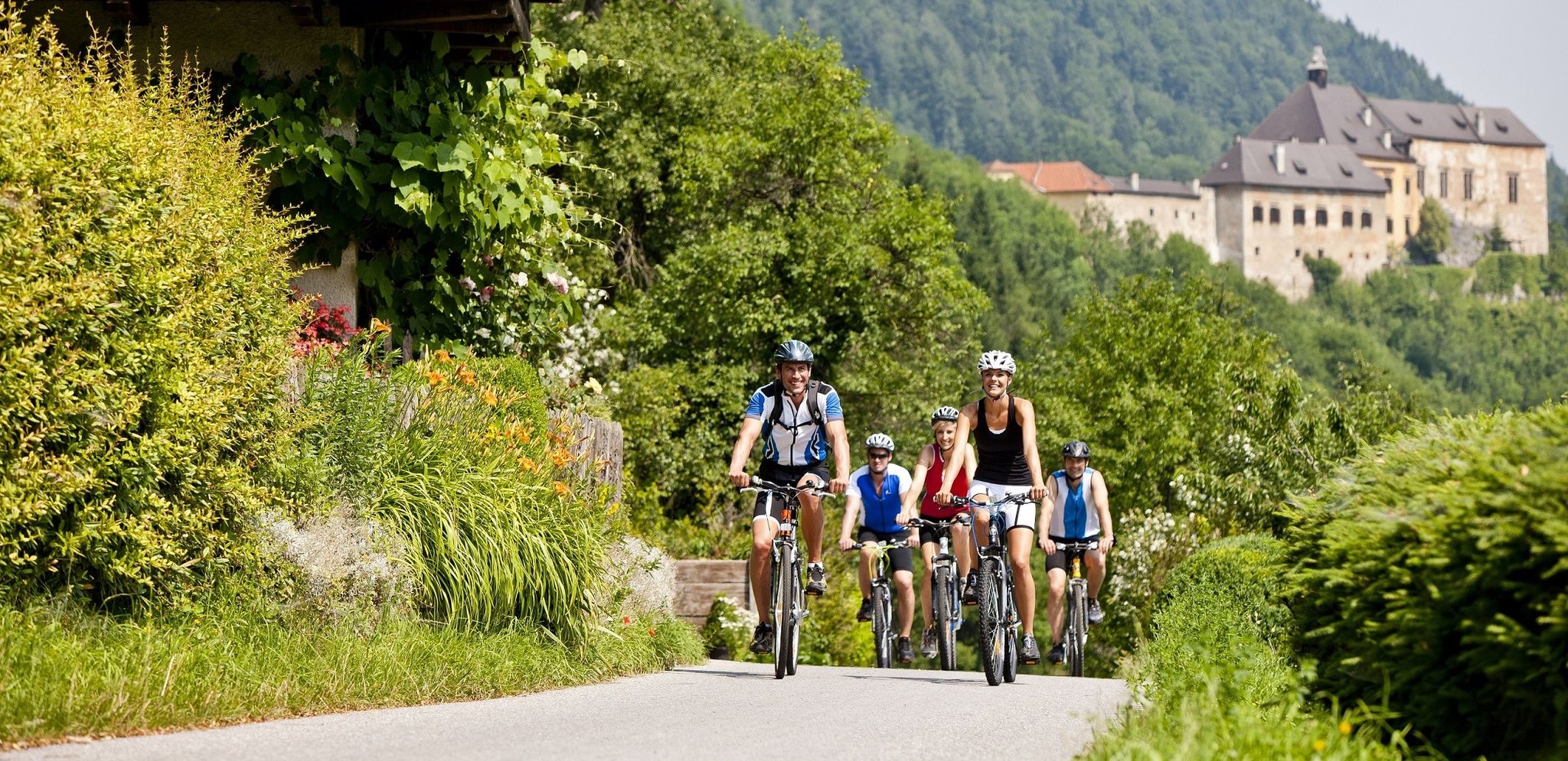
Have fun on two wheels – cycling in Austria’s Graz Adventure Region
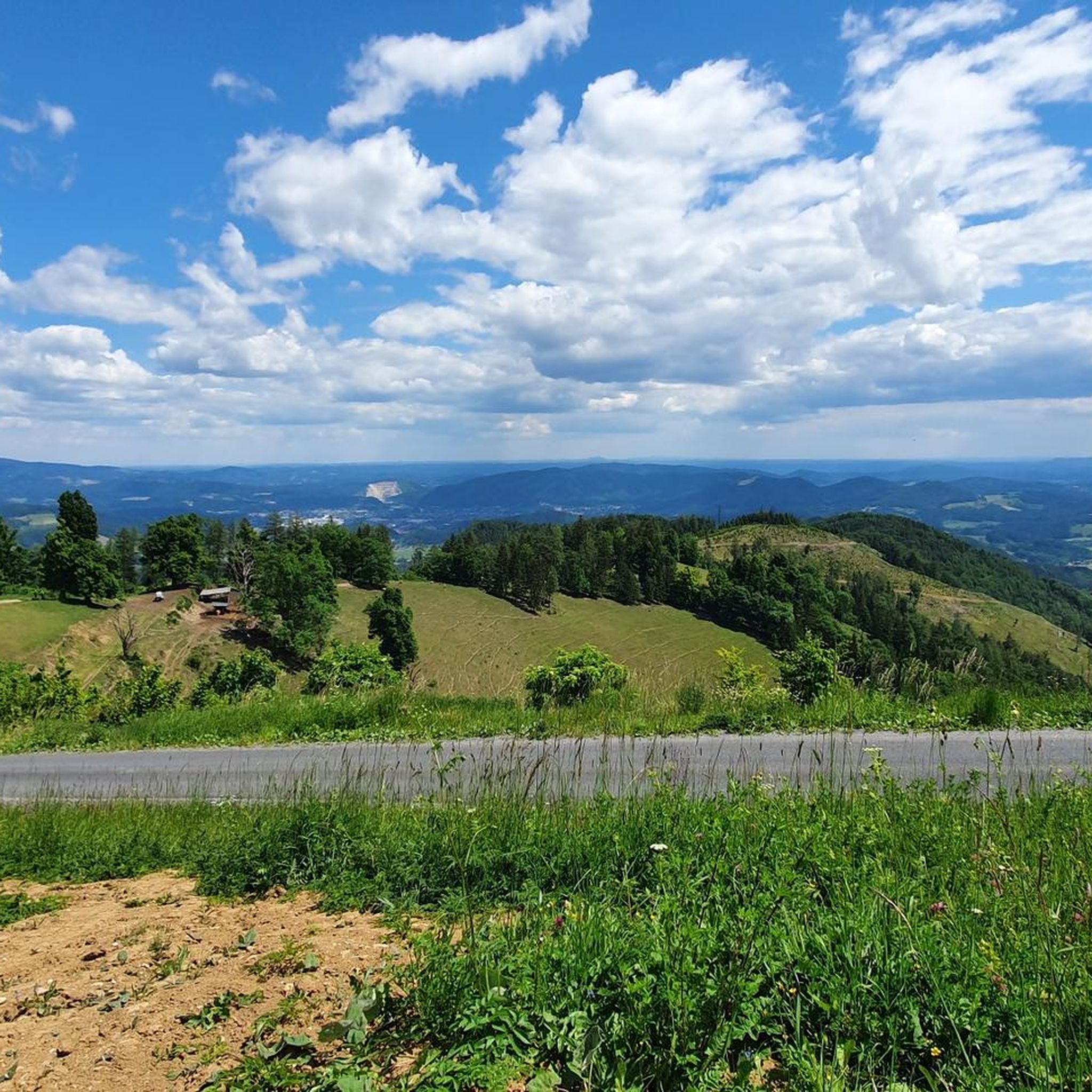
Cycling around Gratwein-Straßengel
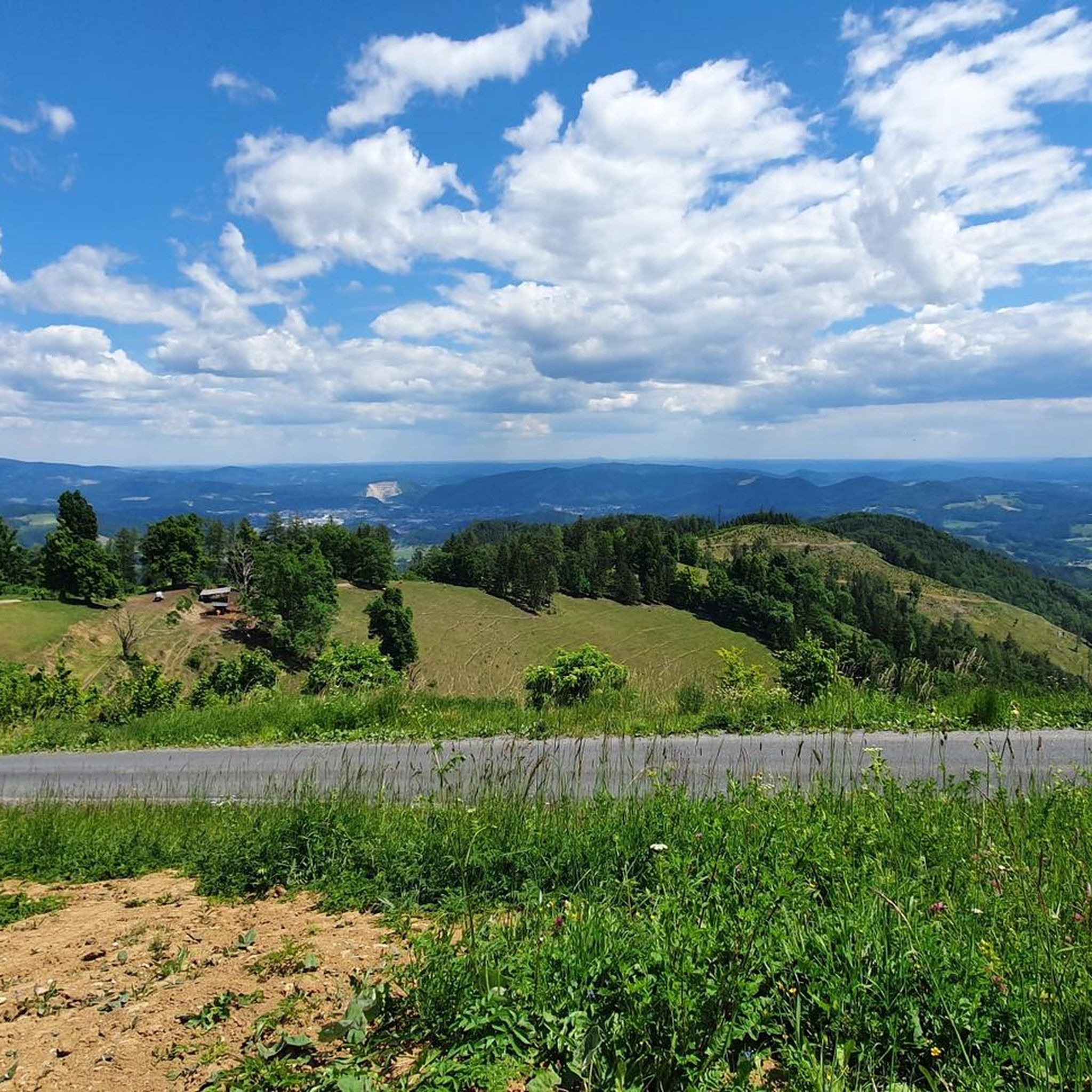
Road Cycling Routes around Gratwein-Straßengel
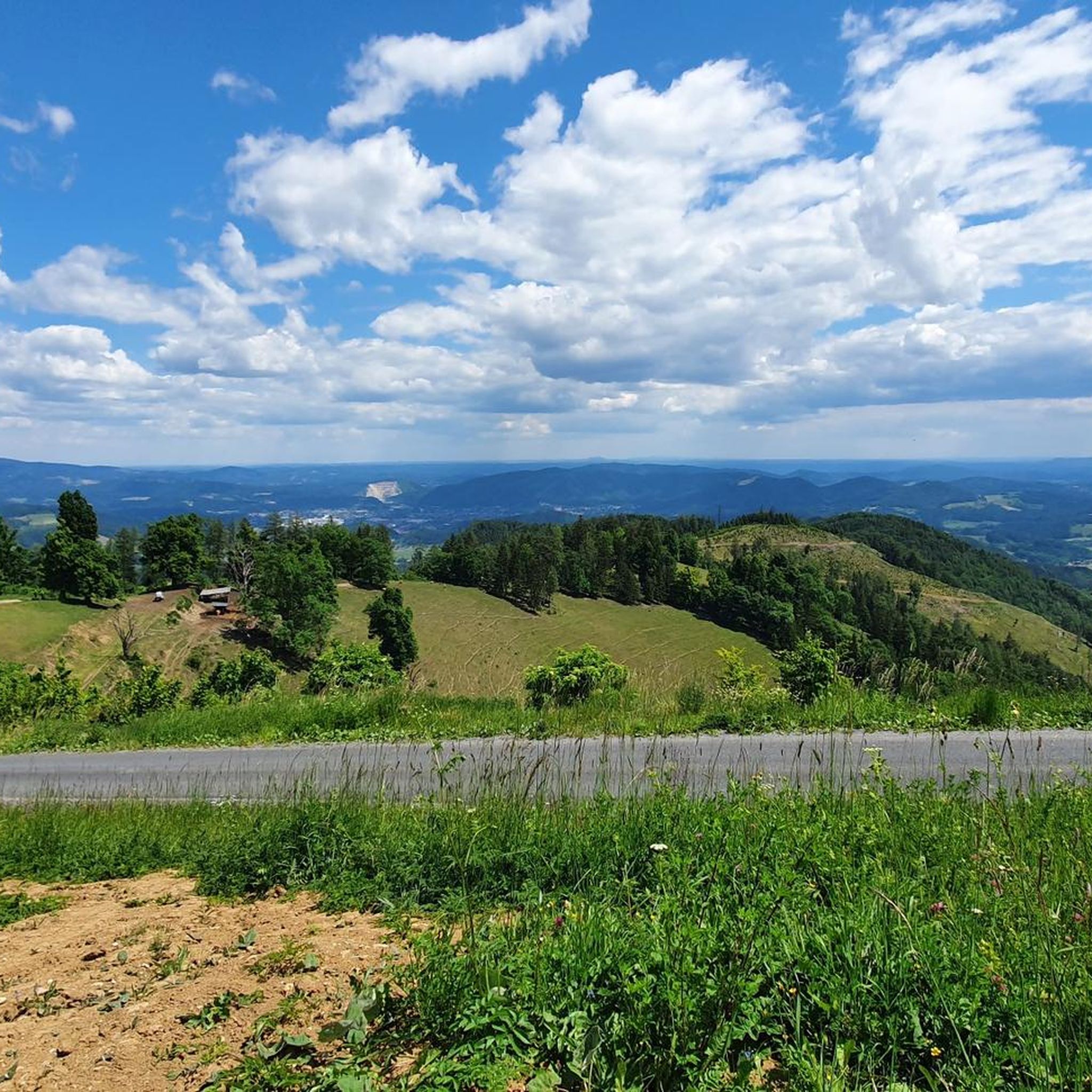
Hiking around Gratwein-Straßengel
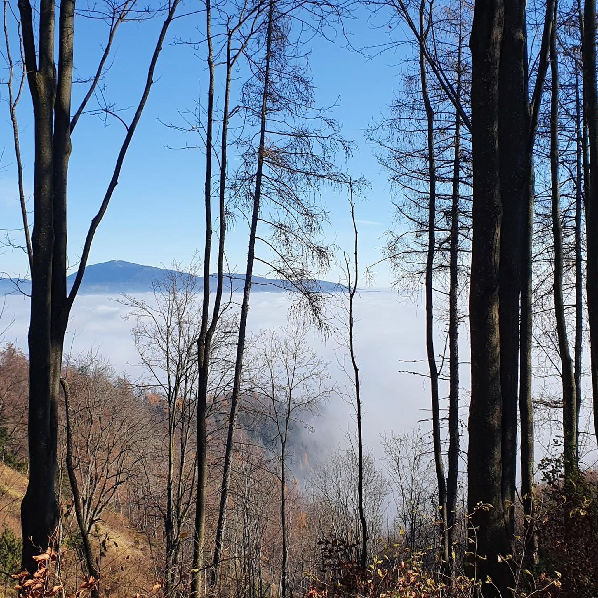
MTB Trails around Gratwein-Straßengel
Running Trails around Gratwein-Straßengel
Gravel biking around Gratwein-Straßengel
Other adventures around Gratwein-Straßengel


Tips from the Community

Superb lighting before sunset on the west summit
1
0

Very interesting hut with good cider to drink.
0
0

Currently (Nov 2024) it looks like a renovation is underway here. Someone is putting up a fence around the house - to keep hikers away and fence off private property? (See my photos)
0
0
Great view to the north. The Hochschwab and the Gößeck are also clearly visible.
4
0

An uninhabited stone house 🏚️ It's a good idea to take a short rest here.
3
0
A large cross in a clearing.
3
0
Information about the hut: https://www.naturfreunde-huetten.at/steiermark/johann-waller-huette/
3
0
Frequently Asked Questions
How many mountaineering routes are available around Gratwein-Straßengel?
There are 9 mountaineering routes documented on komoot for the Gratwein-Straßengel region. These include 5 moderate and 4 difficult options, offering a range of challenges for different skill levels.
Are there any family-friendly mountaineering routes in Gratwein-Straßengel?
While dedicated 'easy' routes are not listed, some of the moderate routes could be suitable for families with older children or those accustomed to hiking. For example, the Schartnerkogel – Gamskogel loop from Deutschfeistritz is a moderate 9.7 km trail with varied terrain, which might be manageable for active families.
What are the best options for beginner mountaineers in the area?
Beginners can start with the moderate routes available. The Schartnerkogel – Gamskogel loop from Deutschfeistritz is a good introduction, offering varied terrain over 9.7 km. Another moderate option is the Mühlbacherhütte loop from Naturschutzgebiet Pfaffenkogel-Gsollerkogel, which is 9.5 km long and leads to a mountain hut.
Which routes offer the most challenging mountaineering experiences?
For a significant challenge, consider the Speikkogel – Gleinalm Schutzhaus loop from Hoyer. This difficult 16.0 km route features substantial elevation gain and leads to the Gleinalm Schutzhaus. Another demanding option is the Stone House – Schöckl Summit Cross loop from Stattegg, covering 16.4 km with considerable ascent.
Are there any circular mountaineering walks around Gratwein-Straßengel?
Yes, many of the routes in the region are circular, allowing you to start and end at the same point. Examples include the Schartnerkogel – Gamskogel loop from Deutschfeistritz, the Speikkogel – Gleinalm Schutzhaus loop from Hoyer, and the Summit cross on rocks – Pfaffenkogel loop from Stübing.
What is the best season for mountaineering in Gratwein-Straßengel?
The region's mountaineering routes, characterized by forested hills and prominent peaks, are generally best enjoyed from late spring through early autumn (May to October). During these months, trails are typically clear of snow, and weather conditions are more stable, offering better visibility and safer passage. Always check local weather forecasts before heading out.
Are there any mountain huts along the mountaineering routes for refreshments or overnight stays?
Yes, several routes pass by or lead to mountain huts. The Speikkogel – Gleinalm Schutzhaus loop from Hoyer leads directly to the Gleinalm Schutzhaus. Another route, the Mühlbacherhütte loop from Naturschutzgebiet Pfaffenkogel-Gsollerkogel, includes the Mühlbacherhütte. The Stone House – Schöckl Summit Cross loop from Stattegg also features the Stone House.
What kind of views can I expect on the mountaineering routes around Gratwein-Straßengel?
The routes offer diverse views, ranging from dense forested hills to panoramic vistas from prominent peaks like Schartnerkogel and Speikkogel. You can expect to see rolling Styrian landscapes, alpine pastures, and often rocky sections, providing expansive outlooks over the surrounding area.
Are there any lakes or water features near the mountaineering trails?
While the mountaineering routes themselves focus on higher elevations, the broader Gratwein-Straßengel region features several beautiful lakes. Notable options include Thaler Lake and Weihermühle bathing lake, which are popular for recreation and can be visited before or after your mountaineering adventure.
What do other mountaineers enjoy most about the routes in Gratwein-Straßengel?
Over 100 mountaineers have explored the routes around Gratwein-Straßengel using komoot. They often praise the varied terrain, which includes both challenging ascents to summits and more moderate paths through woodlands. The opportunities for panoramic views and the presence of mountain huts like the Gleinalm Schutzhaus are also frequently highlighted as enjoyable aspects of the region's mountaineering experience.
Are there any routes that pass by interesting landmarks or points of interest?
Many routes offer scenic points and natural features. For instance, the Summit cross on rocks – Pfaffenkogel loop from Stübing leads through rocky outcrops and features a summit cross. Routes that include mountain huts like Mühlbacherhütte or Gleinalm Schutzhaus also offer cultural and historical points of interest.
What should I wear for mountaineering in Gratwein-Straßengel?
Given the varied terrain and potential for changing weather in mountainous regions, it's advisable to wear sturdy hiking boots with good ankle support, layered clothing suitable for different temperatures, and waterproof outer layers. Always pack essentials like water, snacks, a map, and a first-aid kit.
Most popular routes around Gratwein-Straßengel
Most popular attractions around Gratwein-Straßengel

Get inspired with the komoot mobile app


Explore more
Browse the best Mountain Hikes & Routes in other regions.
